6 April – And the wheels keep turning as the road stretches out before us.
After enjoying Tallahassee’s museums, galleries, and bike trails, we moved on this morning with St. Mary’s, GA, and our beloved trawler, in our cross hairs. Excited! Our 6 months of RV-ing has lengthened to 11 months because of wanting to reposition our boat but now we can resume our 6 months here and 6 months there!
Kindred Spirit III poised and ready to be splashed!
Today we arrived St. Mary’s, GA, and reunited with our trawler temporarily. We’re going to take a few days vacation before storing our coach and boarding our boat.
16 April – Easter Sunday was a serendipity because we were able to spend it with our first cousin, Diane, and her husband, Bill, in their new home in Ocala. We haven’t seen them in several years and then it was very brief—we attended a graduation in NC.
18 April – Our vacation was very restful and informative as we combined a fact-finding tour with being “away from home”.
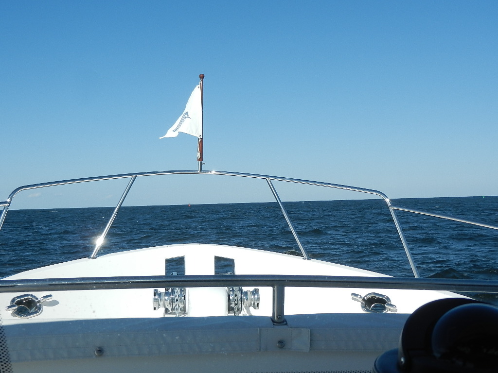
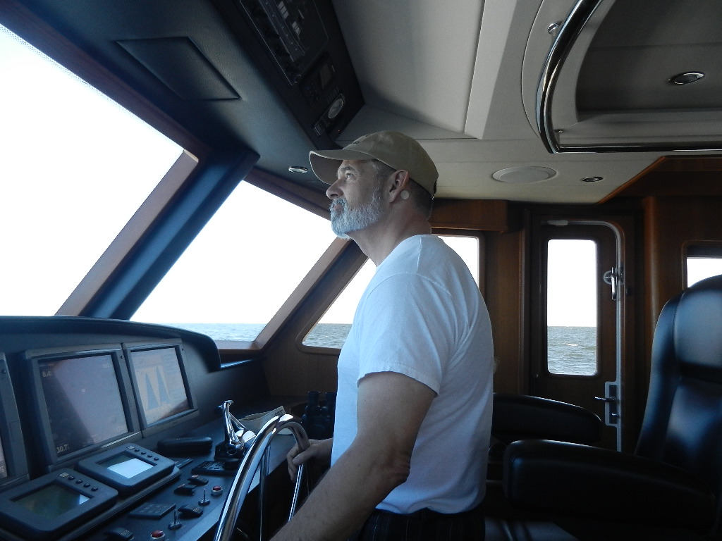
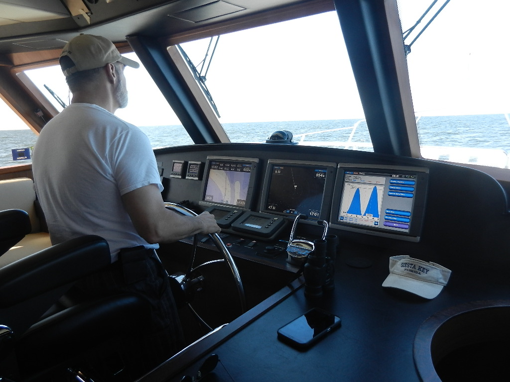
All aboard!!!! Oh, how good it feels and sounds to have water moving beneath our hull once more.
Jekyll Island Marina
Brunch in the island’s hotel that used to be called The Millionaire’s Club. Guess they’re so common now that they had to come up with Jekyll Island Club Hotel.
The KIC Hotel
Love these majestic oaks and the moss trailing from their branches
The hotel’s veranda where we savored a cocktail and the sunset
20 April – Today is day 3 aboard and on the water. I bet I’ve bent, twisted, stooped, walked, cycled, squatted, hefted, hoisted, lifted, thrown…more in these 3 days than in the 11 months on the coach. I’ve lost more than a pound a day. Land cruising made me fat, lazy, and not a poster child of a fit 76 year old. Cruising is very physical and definitely a workout. I’m loving it. Was beginning to feel like a marshmallow with feet. Tonight’s our first night at anchor and oh, how I look forward to the rocking, swinging, no TV, no traffic, not a sound except the water lapping against our hull—just us and the wide open water. Sleeping’s gonna be GOOD tonight!
St. Simons Lighthouse
21 April – Last night, night # 3, we anchored and t’was the best night’s sleep I think I’ve EVER had. Didn’t move a muscle all night long. I was born to be in and on the water—my element! How could I EVER consider trading this life for living on dirt! We’ve been on board for 10 years and I’ve always loved it but now I have a greater love and deeper appreciation for this life style than I’ve ever had before because its status of “temporary” seems ever more real.
22 April – Was going to wait till later today to chronicle in case anything interesting happened but it probably won’t. Bill’s out and I’m in trying to scrub off 11 months of being on the hard in a boat yard. There’s a coating of grim EVERYWHERE inside and out—just of a different kind.
My rant for the day—you may recall my posts about how different RV-ers are compared to boaters…. From about 20 months of RV-ing, we haven’t met a soul we’ll ever connect with again. When we pulled into our slip yesterday, the lady, next to our slip, came out, welcomed us, and ironically, she’s a mutual friend of our friends, Mary and Larry, who said be sure and look them up when we arrived. Then a guy from a motor sailor down the dock came down to welcome us and he and Bill talked forever. His wife offered to teach us how to do a paddle board. Something I’ve aways wanted to do–looks so fun. May be a fiasco–my core went away while on the coach. Another boat owner from down the dock that we’d met long ago, came down to welcome us. May never want to leave this place!! So the moral of the story is–boaters are the best and friendliest folks on the face of our blue marble world.
23 April – If the huge bronze stature of King Neptune could look over his right shoulder, this would be his view of Kindred Spirit III. Bill cycled 35 miles today but I wimped out at 18.5. It’ll take a while to get enough saddle time to be able to match him. That’s my goal! This is an incredible place to cycle.
Iconic bronze statue of King Neptune
26 April – Thought this day would never come. This is day #5 in Shelter Cove Marina and every day something has prevented me from getting in the pool. Today was a euphoric reunion with the water. My brain, heart, soul, and spirit are now in ecstasy. The pool doesn’t equal St. Petersburg’s nor Wild Dunes but it is a swimmable rectangle and I am delighted.
May 3 What a glorious day we had and also the worst day of wolfing down foods not on our eating plan. Bill’s rationalization was that we’d “cycle it off.” I think we’d need to ride across the state and back to even come close to burning the calories that we consumed. We had breakfast at a bakery but our pastry was most definitely not worth the calories. We cycled to check out Hudson’s and then to Skull Creek Boat House for lunch. A pleasant respite but again, far off the course of what we consider a healthy diet—but fabulous and a treat for our taste receptors.

That wasn’t the only of our senses that were loving our outing. The Confederate Jasmine are blooming everywhere and their blossoms permeated the air with my favorite fragrance. Deep inhalations were a treat for the sense of smell.
On our bike ride to Coligny
My very own pool that I’ve not had to share
Spied this relic from the past on our bike ride
A shrimp boat anchored in front of Hudson’s Seafood Restaurant
Rusty nautical finds at Hudson’s.
Lunch at The Boathouse on Skull Creek
There’s a plethora of shopping of all varieties just walking distance from our marina. This caught my eye so I went home, got Bill, ordered a beer and pizza for him and he seemed quite content as I strolled away.
The song birds were in abundance and saturated the atmosphere with a cacophony of exquisite harmonics.
We parted ways. I wanted to swim and Bill wanted to log more distance. He cycled 35 miles—the man’s an animal— but I wimped out at 22 miles. I did get in a good swim and once again, had the pool all to myself. I don’t have to share a lane and not even the pool.
Two mini-rants: It disturbs me to see people riding bikes without helmets. I wouldn’t ride around the block without one. Both of us have experienced two incidences each where our helmets saved our craniums. You never PLAN to have an awning try and take you out or a canvas sign hanging from a fence that billows out as you’re passing throwing you into a line of traffic—so that’s why they call them ACCIDENTS. I wanted to preach to each of them but there were too many and I’d have been left far behind. Did see a little punk about 7 with his helmet in his basket. Told him it needed to be on his head and he flipped me off. Probably said, “mind your own business, old woman.” Don’t recall 7 year olds being acquainted with the social digit back in the day.
Another bothersome thing today was a large overweight redneck gringo strolling the sidewalk while a hispanic man was gathering up all the cones and their bases along the roadway which was amounting to a significant stack and weight. I wanted to have a word with, what I assumed, was the Latino’s supervisor. “Why don’t you help him out and carry some. Might help you shed a pound or two.” The scene really angered me because I felt he was taking advantage of the worker.
May 7 – We retired from Greenville, SC, and last night we were entertained in the home of a couple who also lived in Greenville but relocated to Prichardville, about 21 miles NE of Hilton Head Island. Our host, Charles and Bill knew each other from their Michelin employment.
May 8 – Today we needed to get in some cycling to avenge our gastronomic misdeeds last night. We’ve always enjoyed riding around the plantations but no more! That’s pretty disappointing but there are threats of prosecution if you enter. There are plenty of miles to ride on the paths but looking at homes and their landscaping was always a treat.
We rode the beach today with a fierce head wind. You know, there are just some things you can’t un-see and this afternoon was one of them. What a mass of humanity and school’s not even out yet. Can’t imagine what it will be like in the summer. The beach was not a place that I enjoyed. Enough was enough so decided to alter my route.
May 9 – Lunch with friends, Suzy and Michael, who loved us enough to drive all the way from St. Mary’s, GA, to spend the day with us and have lunch at The Big Bamboo Cafe. Great day and we love these sweet people. How’d we meet? That’s another story for another time.
May 9 – was a YOYO day. (You’re On Your Own.) I did a short bike ride then swam. Again—the pool to myself and it was the best swimming workout I’ve had since we’ve been here. The water was 74 degrees and felt absolutely blissful.
May 10 – This is long and I offer no apologies. It’s the narrative of our day’s activity, is memorable, and I merely wish to share. We took “an unplugged exploration of Daufuskie Island. The 4 ½ hour historic tour began at Shelter Cove and we were whisked to the island by boat and under the guidance and narration of our guide, Charlie Thorn. He has done intense and in-depth research about the island, culminating in a book, Children of Shadows . (Available in print and also for Kindle.) He is so knowledgeable about all the history leading up to today. We learned about the rich Gullah, Indian, and Civil War history that makes this bridge-less island so unique.
This is all that’s left of Palmetto Bay Marina. Not a dock in sight
Daufuskie Island, tucked between Savannah , GA, and Hilton Head Island, SC, was inhabited by numerous native tribes until the early 1700’s when they were driven away from their land by explorers, traders, and settlers. While under British rule, plantations were developed, growing indigo and later Sea Island cotton. We learned that slaves were slaves of black families while they were still living in Africa. Slaves tilled the fields while plantation owners and their families spent much of the year away. The slaves’ isolation provided the setting for the retention of their African culture.
An iconic symbol for Daufuskie Island
At the beginning of the Civil War, slaves and their plantation owners fled the island and Union troops took it over. Post-war freed slaves, the Gullah people, returned to the island and purchased small plots of land or worked for pay for landowners.
In the early 1900’s the boll weevil decimated the cotton fields and logging and oyster canning stepped in to provide jobs for the predominately Gullah populated island at the turn of the 20th century.
In the 1950’s, pollution in the Savannah River closed the oyster beds resulting in a decline in the island’s economy. The Gullah people began to leave the island for the mainland and better opportunities. By the 1980’s, the population decreased from 2,000 to less than 60. So here come the developers and Haig Point, Melrose, Oakridge, and Bloody Point were built. Since there’s no island access except by boat, that has enabled the Historic District to retain its spectacular and untainted beauty.The entire island is on the National Register of Historic Places.
In golf carts, Charlie took us to studios of Daufuskie’s two internationally renowned island artisans who handcraft unique works found on this island. The Silver Dew Pottery shop is owned by Lance and Emily Burn. Her grandfather first came to Daufuskie in 1898. In 1913, he was light house keeper for Bloody Point Light. In the mid 1950’s, he owned and operated the Silver Dew Winery and that’s where the Burns got the name for their pottery business, which opened in 1997,
They’ve found Indian pottery shards on the island and have copied the raised buttons, beads, and incisions in their new creations. Their potters wheel is solar powered and on the bottom of each piece is “STP” for Sun Thrown Pottery. Their glazes are lead-free and no two are alike. Each piece is numbered, dated, carries both their names, and has a motif on the bottom. 1,000 pieces are made under that motif and then it’s changed for the next 1,000. Each has a bit of Daufuskie in it. They sprinkle a small amount of their black beach sand over the clay prior to working it. It’s Magic Sand and will surely bring the purchaser back to their very special and magical “Out-Back Island.”
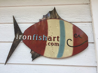
Charlie took us to meet Chase Allen, a college graduate from North Carolina, who decided what he really wanted to do was to be a blacksmith and metal artist so he and his wife moved to the island and he’s doing magnificent metal work there. Someone asked if there was anything that swims in the ocean that he couldn’t use as a model and he said, “I don’t think so.” His friend asked, “How about a mermaid?”—he did—it’s his most popular piece. He has photos of the application of these pieces in his customer’s homes.
Charlie explained how these islanders exist on a bridge-less remote island without even a single grocery store and has fueled my interest in learning more. I’ve read all the Conway works but long ago. Now I want to resurrect those from my library to read again, as well as his book. This was a day well spent and we highly recommend Charlie’s tour through Outside Hilton Head.
This is the only church on the island and is well attended every
Sunday morning at 10:00 AM
As we walked home, the Mexican restaurant San Miguel’s just reached out and snatched us in beneath their cool porch and plopped our favorite dish right before us. We dragged our full tummies home and fell into the bed for a wonderful nap.
May 11 – Can you believe my pool is closed without warning nor explanation!!! Tonight we thrilled to the music of one of our favorites, Target, the Band, composed of 3 musicians—a married couple and another man. They played for 3 hours without a break and they aren’t spring chickens either. They’ve been playing together 42 years and commented that many marriages don’t last that long. Their music was wonderful coupled with superb people watching. So many were out there shaking a leg to music we grew up with——if you grew up. That hasn’t happened to me yet.
We’ve only another week here before continuing north. Stay tuned.
Bill and Laura Bender
Kindred Spirit III
Grand Banks 42 Cl
Shelter Cove Marina
Hilton Head Island, SC