
Taken from The Great Book Of Anchorages, Cape Sable, Fl to Mobile, Al, including the Okeechobee Waterway…
A very different kind of cruising awaits the boater traveling on the Gulf Coast. For starters, there is no one system for keeping track of th…
Taken from The Great Book Of Anchorages, Cape Sable, Fl to Mobile, Al, including the Okeechobee Waterway…
A very different kind of cruising awaits the boater traveling on the Gulf Coast. For starters, there is no one system for keeping track of th…
Taken from The Great Book Of Anchorages, Cape Sable, Fl to Mobile, Al, including the Okeechobee Waterway…

A very different kind of cruising awaits the boater traveling on the Gulf Coast. For starters, there is no one system for keeping track of the mileage for the various legs of the journey. Each section, the Southwest Florida Coast, the Gulf Intracoastal Waterway (GIWW), the Big Bend and the GIWW East of Harvey Lock (EHL–the distance east of Harvey Lock in New Orleans), has their own method–the Statute Mile is given in two of the sections and the other two use distances between waypoints/markers, leaving you to calculate the miles (which we have done for you). The biggest difference for us on the Gulf Coast is the beaches. With a few exceptions, you are generally traveling right along the coast, either just inside barrier islands or hopping from one island or river entrance to the next. And what could be more wonderful than always being close to the beach?
We begin coverage of Gulf Coast anchorages in Cape Sable, FL mainly because the major guide books and chart kits do this as well and you will be using them together. Although some of you will be Loopers using the book, you’ll simply need to work your way from back to front.

Southwest Florida Coast – Cape Sable to Sanibel (Mile 114 to Mile 4) East and Middle Cape Sable will be your first possible stops on your way north from Moser Channel, if you came by way of Marathon in the Middle Keys. They are pretty much open roadsteads so will only be an option in settled weather or in winds from the east. Your next best bet for more protection is the Little Shark River, some 17 miles north. Some folks use the Little Shark as a hurricane hole, as one can travel many miles with good depths. Next north are the anchorages in Russell Pass at Indian Key– beautiful and protected–or the great beach anchorage on Panther Key’s west side.
 Some of you will be able to take the inside route north to reach the Marco Island area, if you draw 4-5 feet and can pass under the 55-foot bridge. If so, you have a few more anchorages available to you. In Gullivan Bay, take Coon Key Pass into the well-marked channel that runs through Goodland, then west under the 55-foot bridge connecting Marco to the mainland. There are some good spots to drop the hook in and around Goodland, then a few more in Factory and Smokehouse bays in Marco. If your draft will not allow you to take the inside route, you’ll need to take the long trek out and around Cape Romano, then back into Capri Pass to access these last few.
 Not many boats can safely travel the shallow waters between Marco and Naples on the inside (the Old ICW), so most of you will have to head back out into the Gulf for the short trip to Naples. For very shallow-draft vessels, however, there a couple of cool spots near and behind the barrier island of Keewadin. Naples offers some anchoring choices relatively near their well-appointed town–a couple close to the Gordon Pass entrance and the other near Doctors Pass. Next heading north will be the Ft. Myers Beach area. A mooring field blankets much of the harbor, but you can still find a spot to anchor among the permanents boats farther down the harbor. There is also a good overnight spot outside in San Carlos Bay. Or, try anchoring in the lee of Sanibel, south of the bridge, for those of you with deep drafts who want an easy in and out stop.
The Gulf Intracoastal Waterway (GIWW)–Merwin Key to Anclote Key (Mile 2 to Mile 151) The next area north is the Gulf Intracoastal Waterway which starts at Statute Mile 0 at the mouth of the Caloosahatchee in San Carlos Bay. This is also the end (or beginning if you’re headed east) of the Okeechobee Waterway. Those anchorages will be covered separately in their own section at the end of the book. Sailboats will need to come through the high-rise bridge at Punta Rassa to access the GIWW at Statute Mile (SM) 0, however powerboats can proceed to the west near Pt. Ybel, pass under the 26-foot bridge, then travel along Sanibel to enter the GIWW at around SM 3.
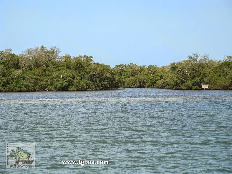
The first 25 miles of the GIWW has so many anchorages, you could spend days or weeks just gunkholing here. They start as soon as you enter the waterway with some fair weather anchorages at Merwin and Picnic Islands, St. James City or the large basin off Sanibel’s J.N. “Ding” Darling Wildlife Refuge. Next, try the protected anchorage in Roosevelt Channel on Captiva. As long as there aren’t strong southerly winds, the south end of Cayo Costa is a beautiful spot to walk on those white sand beaches looking for shells. Need more protection? Continue on and anchor in Pelican Bay near the park docks and ranger station. You can also anchor around Useppa Island to the east or west, then Charlotte Harbor is next on your itinerary. Although it is a long trek northeast from the GIWW (approximately 20 miles), many folks can’t pass Punta Gorda without stopping. The anchorage is very open to the east and west, but all feel it is worth the journey. There are a few more stops in the harbor as well.
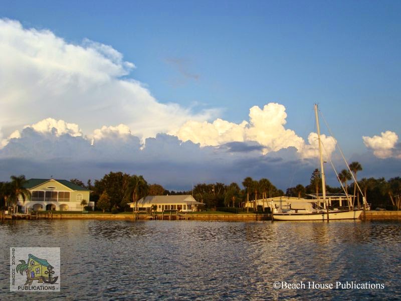
Back out on the GIWW, a short trip across Charlotte Harbor brings you to Gasparilla Sound and Island. Enter via the well-marked channel to the west into the area marked “Yacht Basin” on the chart. You can either anchor beyond the marina to the south or take the narrow, deep channel north into a lovely, mangrove lined cove and anchor, tying your stern to the mangroves to avoid swinging into the basin or drop a stern anchor. There’s also a free day dock there to access town. This is a beautiful place with a lush golf course and high-end homes and resorts. If you have no need to go ashore or just need a quick stop, the 5-10 miles between SM 30-40 afford you a number of opportunities. Try Peekins Ranch Cove near the north end of Gasparilla Island, the area between the railroad and bascule bridges, the park area just north of the bridge, or any number of spots between Cape Haze and Don Pedro Island.
You will then enter Lemon Bay just before SM 40 where another group of great anchorages await. Thorton Key lies just next to Stump Pass for those of you desiring quick access to the beach or fishing. If you need a bit more protection, continue on to Englewood Beach to anchor in the channel that runs behind Manasota Key. If you’re in need of provisions, the mainland side anchorage near Englewood is your next choice. Walk to the nearby grocery store. There are no anchorages for the next 10-15 miles between SM 45 and 57. Your next opportunity to anchor will be in Venice. Over the years, Venice has gotten a reputation for being unfriendly to cruisers, but a local who has been visiting the free day dock there for the past 30 years told us that he has never been bothered or harassed by anyone and even stays overnight there on the dock. Your best bet might be to find a place to anchor for the night near the permanently moored boats after visiting the day dock, but remember, it is not a no-wake or even slow-speed zone and you are likely to get waked. The anchorage lies fairly close to the GIWW.
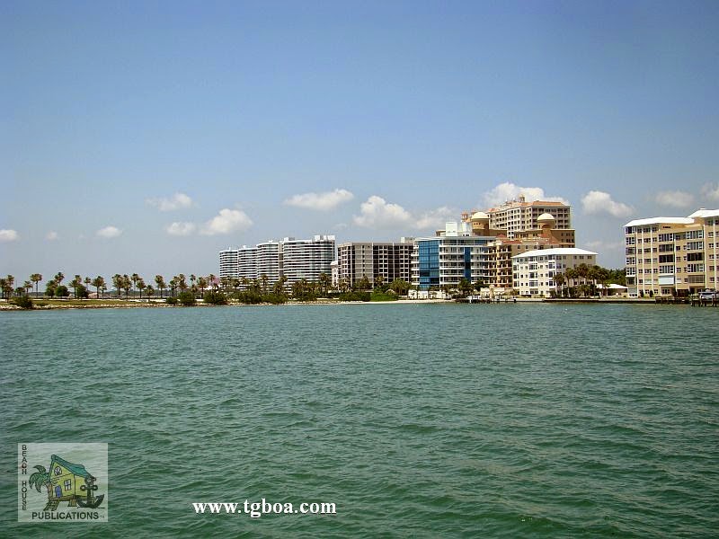
Between here and Sarasota, SM 58-73, the anchoring possibilities are once again fairly limited. You’ll have one in Blackburn Bay, where you can pull off to the west in 6 feet of water, or one in Little Sarasota Bay, also with about 6 feet at MLW. Deeper draft boats will have to wait until arriving in Sarasota proper. Your decision about where to anchor in Sarasota will be dictated by what you want to do while in the area. If you need to provision or want to visit the Ringling Brothers Museum, you’ll probably want to anchor on the mainland side for easier access to downtown. If you want to shop and dine, try the anchorage at Lido Key for the shops and restaurants on St. Armands. If you want to get away from it all, there are anchorages in and around Longboat Key that will fit the bill. The west end of Longboat Key and the area around the Cortez Bridge provide another group of anchorages with access to beaches, restaurants and shops. If you need good protection for coming weather, try the anchorage in Bimini Bay inside Anna Maria Key with great depths.

Now you have reached Tampa Bay. A short hop to the east brings you to the mouth of the Manatee River. There are a number of great anchorages here, including the one just around the corner at DeSoto Point or the free dock and neighboring anchorages in Bradenton. Terra Ceia Bay just to the north of the Manatee River is accessed by going back out into Tampa Bay, then entering through a winding, but well-marked channel to a quiet, uncrowded area for exploration. Those in need of an urban experience will want to continue north in Tampa Bay to the St. Petersburg area. You can anchor just outside of the north basin to the south or north with a short walk to everything you could want or need. If weather is moving in, head south into Big Bayou or around into Boca Ciega Bay’s multitude of anchorages and take the bus to St. Pete.
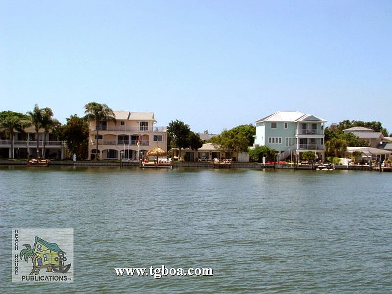
Boca Ciega has practically endless anchoring opportunities. Mud Key Channel takes you back to a very protected anchorage just across the road from the beach. The anchorage off Gulfport is not very protected, but gives you access to a great little town. Good restaurants and shops are right off the waterfront. A short distance down the waterway takes you to Paradise and Treasure Islands. This is a great stop if you need to provision, as the grocery store’s dinghy dock is just a short distance away. Another well-protected anchorage lies hidden behind Johns Pass in a basin to the south with room for a few boats. Redington Shores is a nice spot off the waterway to spend the night, provided you aren’t disturbed by water-skiers.
Then you pass through The Narrows at Indian Rocks Beach, where you can tie to the free day dock for a few hours, then move on in the evening to one of the anchorages in the Clearwater Harbor area. The anchorage next to Belleair Causeway has good easterly protection and shore access. Clearwater Beach also has a great free day dock in Mandalay Channel just across the street from the Gulf. You can tie here for the day to run errands and dine on the beach, then drop back across the channel and anchor for the night.
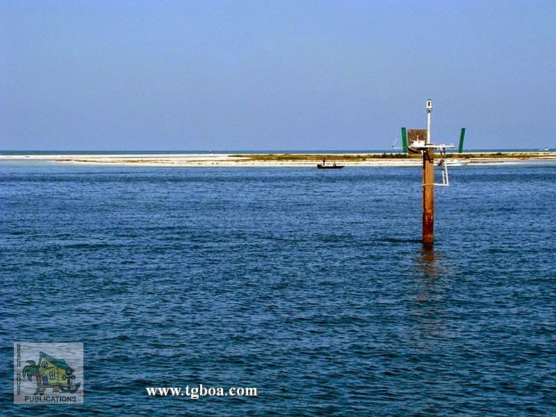
Traveling a little farther north brings you to the end of this section of the GIWW. Three Rooker Bar is not much more than a sandbar with bushes, but what a great spot to unwind. Just to its north is Anclote Key and Anclote River. Anclote Key is good for fair weather, whereas you may want to find a spot in the river anchorage if any foul weather is moving in. Tarpon Springs, upriver, doesn’t really have any anchorages to speak of, but you may want to stop here nonetheless, especially if you are a Greek food aficionado.
Part 2 will continue along the Bog Bend region, Florida Panhandle and portions of Alabama.
In Sept of 2014 we went back to the boat and toured Albania.Albania has been in turmoil ever since gaining independence from the Ottoman empire in 1912. In 1943 it was occupied by Germany, and one year later communist partisans ruled the c…
Our last post describes the Aeolian Islands – here is a map showing them
.JPG)
Our friends Doug and Mary were keen to visit Taormina, so we decided to leave Envoy in the Marina di Portorosa on Sicily’s north-east coast and travel there by car. This marina is particularly expensive at 135 Euros (NZ$211) per night, but there’s not much alternative offering good shelter in this area. Sadly the once grand marina complex is poorly maintained as evidenced by faded paint, plaster falling off buildings, pot-holed roads and vacant shops in the arcade. The marina is built around a canal system with many quality houses fronting the canals.
The sheltered Portorosa Marina is built around canals
.JPG)
I was on the quayside alongside Envoy’s passarelle when the paving stone I was standing on collapsed underneath me giving my left foot some nasty cuts and bruises. Fortunately nothing was broken but my foot was still sore two weeks later. This seems to be a regular occurrence as we notice many of the paving stones have been replaced.
From the marina we drove by rental car to stay one night in Taormina – a great town already mentioned in previous blogs.
Doug and Mary were flying out of Palermo the same day as Diane’s sister, Sharron, and her husband, Doug, were flying in, so we drove to Palermo and stayed one night there, enjoying a great night out with Doug and Mary on their last night, and then collected Sharron and Doug.
Back at Marina di Portorosa we had a rapidly rising north-west wind and approaching rain – not the greatest welcome for our new family guests. Sharron was also still recovering from a broken kneecap and it was with some difficulty she managed to walk across our passarelle and climb down into Envoy’s cockpit. The wind caused a surge to build up in the harbour and even with additional spring lines deployed Envoy moved backwards and forwards in her berth, making for a slightly uncomfortable night. The seas outside the marina had built up to nearly two metres, breaking across the three to four metre deep harbour entrance and making departure impossible for the next few days, so once again we hired a rental car for some touring inland and to the nearby coastal town of Milazzo. Spending so much time aboard we enjoy occasionally getting away from the sea, boats and marinas into the mountains.
Mountain village of Nuvarra
.JPG)
Three days later conditions looked okay to depart so we left our berth and refueled at the diesel pumps for just the second time this year, taking on 800 litres. However the attendant warned us against leaving so we deferred to local knowledge and spent a further night in the marina. I could imagine deciding to leave regardless of local advice, having some type of accident – “I told you so!” The next day the seas calmed to less than half a metre and we set off early for a 70 mile cruise through the Strait of Messina to Taormina.
Map of Strait of Messina
.JPG)
Because the Strait is only about a mile wide at its northern end and often has considerable traffic you’re required to call “Messina VST” before entering the Strait and provide your vessel details and destination. It was quiet for us though, and we only saw one huge container ship and about six ferries.
We had to alter course to stay clear of this huge container ship
.JPG)
Conditions were calm but the Strait has swirling currents making an extra sharp watch essential. Historically the Strait had huge whirlpools and the largest, known as Charybdis, was dangerous to ships. An earthquake in 1783 altered the sea bottom and the whirlpools are no longer dangerous except to very small boats. Arriving back at Taormina completed our 15 week circumnavigation of Sicily.
Map of Sicily’s east coast shows many of the places we’ve mentioned
.JPG)
TECHNICAL – During our cruise to Taormina the Robertson autopilot’s motor failed. Fortunately we have two autopilots so simply switched to the Simrad unit until we can get the other repaired, probably in Corfu. The led display on my portable infra-red thermometer has also failed and will need to be replaced. I use this for monitoring operating temperatures of pumps, alternators etc.
Ditto our Radio Shack wireless thermometer enabling us to check the outside temperature from the pilothouse. Home in New Zealand you’d be able to replace these easily, but not so here.
ENVOY LOG – as at 5/9/14 we’d spent 150 days aboard and cruised 1,376 miles for 250 engine hours.
As promised, I’ve attached three screen shots from Eris J’s transit through the Panama Canal. These pics were sent courtesy of my dear friend, one of the two who stayed with me (albeit electronically) during last night’s momentous event.
Even though I was on the high-res option, the pics are quite grainy. The night transit didn’t help things either, but we do have pics!
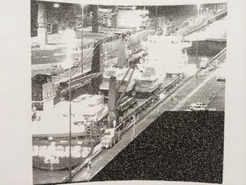
Eris J is in the east-bound lock with her “boat” cargo visible on deck.
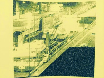
More pics of Eris J right in camera range. She pretty much fills that entire lock.
Someone described this event as a pregnancy: sonograms showing the unborn baby give a pretty good idea of how things are going and a vague glimpse of the baby’s features. However, no one is prepared for the flood of feelings once the baby is born and held for the first time. I thought this was an excellent analogy. I’ve seen a shadowy image of Olympia, seen many, many pictures of her during her build process, but I can’t imagine what it will be like to actually see her and be in her presence for the very first time!
I’ll send more pictures as I get them. This update came from Tom B. this morning re: the ship’s position and ETA:
Welcome to day 266 of 365 photos…the weatherman said there is a storm brewing tonight but things looked pretty calm at the beach. I didn’t get a photo early in the day so I took a quick drive to the beach after supper. I arrived pretty late in the day considering how early sunset is […]
The post Day 266…Storm Brewing appeared first on Moosetique Musing.
We often call the little whirlwind that is our Dee Dee, a monster. I know that those who see her beautiful face doubt me but I have irrefutable proof.When we first picked up our little girl I noticed that she had two unusual swirls of fur on either sid…
Five years is a milestone and often the end of cruising or the realization that this is the best lifestyle forever. I fit into the later, after 5 years i have more certainty that this is how i want to live. My trips back to the US have only reconfirmed…
We left Fort Loudon marina and started our way up river on the Little Tennessee river. Decided to anchor for the night on Baker Creek which was a nice cove and away from all the football boat traffic on Saturday.
We left Fort Loudon marina and started our way up river on the Little Tennessee river. Decided to anchor for the night on Baker Creek which was a nice cove and away from all the football boat traffic on Saturday.
