Sunset, Puerto Don Juan, Wednesday, September 28, 2022
Sunset, Puerto Don Juan, Wednesday, September 28, 2022. To the left, the crescent moon is about to sink below the mountains.
Sunset, at sea near Bahia San Fransquito, Thursday, September 29…
Sunset, Puerto Don Juan, Wednesday, September 28, 2022
Sunset, Puerto Don Juan, Wednesday, September 28, 2022. To the left, the crescent moon is about to sink below the mountains.
Sunset, at sea near Bahia San Fransquito, Thursday, September 29…
Sunrise on Saturday, October 29 We had stayed out late for the Dia de Los Muertos festivities, and on Saturday morning, we were off to a slow start. The diver came and cleaned Kosmos’s bottom. Eric met one of the … Continue reading →
Sunrise on Friday, October 28, looking at the channel from the edge of the docks On Friday morning, Eric flushed the grey water tank. Then he filled up the tank and added Seazyme, an enzyme that dissolves some of the … Continue reading →
Sandy had offered to take us to Loreto with her on Tuesday (October 25) to run errands. Christi took her up on the offer and spent most of Tuesday shopping. Christi and Sandy had lunch at a Birrieria stand that … Continue reading →
We spent Sunday, October 23 doing chores and visiting with the other cruisers in the anchorage. Our neighbor on Stray Cat had to climb his mast, and while he was up there, he took some pictures of us and the anchorage. … Continue reading →


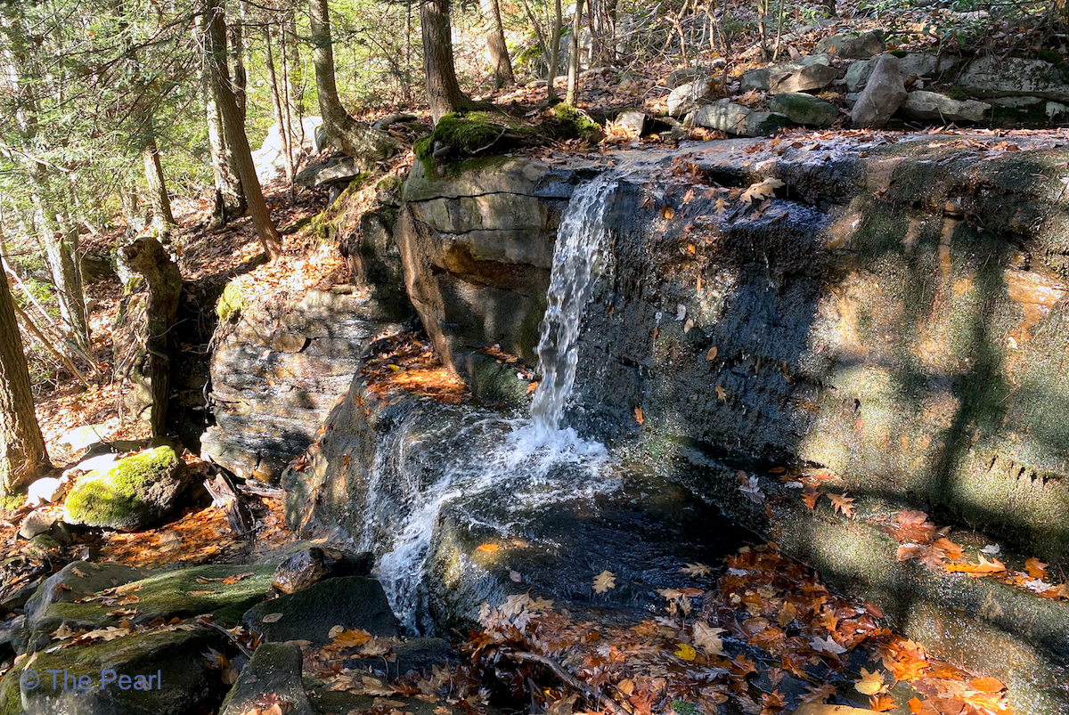
Buttermilk Falls


Bear Creek


I liked Caleta San Juanico. We snorkeled and played at the beach. We went on a hike, and a burro followed us. Dad and mom talked with the other boaters. J’ai aimé Caleta San Juanico. Nous avons plongé et joué … Continue reading →


Looking down towards the beginning of the trail and our car.

The trail


The Summit


Looking down on the Lehigh River and the Lehigh Gorge Scenic Railway. The following pictures were taken from there.

Looking up to the summit of Mount Pisgah.

The Lehigh Gorge Scenic Railway train.

Turn Hole Tunnel at Lehigh Gorge State Park. Turn Hole Tunnel is an abandoned railroad tunnel located near the Glen Onoko access to Lehigh Gorge State Park. It was constructed in 1866 and is 496 feet long. Unfortunately there were posted signs saying we couldn’t go inside.


The leaves are quickly disappearing, but the ones that are still here are amazing.

Hike details
