Tag Archives | trawlers

Oct. 29 – Bear Creek Preserve

“I don’t know where I’m going, but I’m on my way.” ~Anonymous
We’ve had quite a few wet cold days this week, so we didn’t want to waste this beautiful Saturday hiding away from the crowds. So after visiting the wonderful farmers market we found last week, we drove north just a bit to Bear Creek Preserve. 

The preserve is a vast expanse of forests and steep stream valleys in the Pocono Plateau’s Lehigh River Watershed. It’s larger than many state parks and provides critical habitat for black bear, coyote, eagles, migratory songbirds and rattlesnakes. We didn’t see any wildlife…maybe that was a good thing. 

We hiked two separate trials for a total of 4.5 miles and saw another Buttermilk Falls. If you think that’s the only name for falls here…you’d be right. This is the third Buttermilk Falls we’ve found in the area. I have no clue why they all have the same name. 

Our first hike was on the north side of the preserve. It was mostly level and led to a nice little waterfall and scenic overlook. The leaves are beginning to turn burnt orange and brown and more are on the ground than in the trees. Soon it will look like winter and it will be time for us to move south.
The moss along this trail looked like lime green carpet…very pretty.

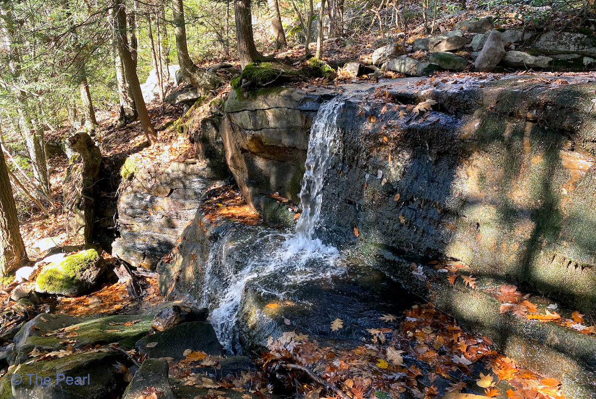
Buttermilk Falls

Our second hike was on the western part of the preserve. It wound us through the woods down to Bear Creek. We crossed several smaller creeks along the trail.

Bear Creek

We crossed two little bridges like this one along Shades Creek.
Bear Creek Preserve trail map. I marked the two hikes we did in turquoise.

Keith’s Perspective on Caleta San Juanico and Puerto Escondido/Loreto/Le point de vue de Keith sur Caleta San Juanico et Puerto Escondido/Loreto

I liked Caleta San Juanico. We snorkeled and  played at the beach. We went on a hike, and a burro followed us. Dad and mom talked with the other boaters.  J’ai aimé Caleta San Juanico. Nous avons plongé et joué … Continue reading

Oct. 27 – Jim Thorpe, PA

“A man who conquers himself is greater than one who conquers a thousand men in battle”. – Buddha
Today we drove down to Jim Thorpe to explore part of the Lehigh Gorge State Park. The Lehigh Gorge Trail follows 26 miles of a former railroad line along the Lehigh River, providing opportunities for hiking, biking and sightseeing. Our first stop was at the Rockport Access to the gorge. We hiked along the rail trail to see Buttermilk Falls and Luke’s Falls. I think we’d like to come back next summer with our bikes, so we could explore more of the trail. It would also be fun to do a rafting trip down the Lehigh River.

Part of the Lehigh Gorge Trail.
Buttermilk Falls
The Lehigh Gorge Trail is part of the longer D&L Trail that is 165 miles long, running from Wilkes Barre to Bristol. 
Luke’s Falls
The Lehigh River
Buck Mountain Creek is just one of many creeks that flows into the Lehigh River.

Our next stop was the cute little town of Jim Thorpe. We spent an afternoon here in June, but didn’t get to do any hiking in the area. After a nice lunch and a little shopping we hiked to the summit of Mount Pisgah. The Mount Pisgah Trail follows the Switchback Railroad, built in the early 1800s to carry coal from mines in the mountains to the Lehigh Canal below. The trail to the summit was steep, rocky and roughly 0.7 miles long, with 500′ of elevation gain along the way. It was truly a workout.
History Lesson:
The Switchback Gravity Railroad, built in 1827, was only the second railroad built in America. It ran nine miles, hauling coal from Summit Hill down to the town of Mauch Chunk (Jim Thorpe) and the Lehigh Canal. As the name implies, it relied on gravity to come down the mountain, with mules hauling the empty cars back up.
By 1844, the line’s success and subsequent traffic necessitated a separate “backtrack” for empties. This created an 18-mile, figure-8 track plan, with the empties pushed up two steep grades by a steam-powered contraption that emerged from beneath the rails.
During non-peak hours, the railroad offered rides along the route for the public, in specially outfitted cars. Following the line’s dramatic descents and loops, these cars could attain speeds of up to 50 miles per hour. In the 1870s the route was devoted exclusively to hauling passengers and became one of the nation’s first tourist railroads. Only Niagara Falls exceeded the site’s 75,000 annual visitors. This wild ride—in which carloads of passengers plunged at high speeds from steep peaks—served as the model for the first roller coaster, introduced on Coney Island in 1884.
This picture can’t convey how steep this trail actually was…but the trees look beautiful.

Looking down towards the beginning of the trail and our car.

The trail

The Summit

Looking down on the Lehigh River and the Lehigh Gorge Scenic Railway. The following pictures were taken from there.

Looking up to the summit of Mount Pisgah.

The Lehigh Gorge Scenic Railway train.

Turn Hole Tunnel at Lehigh Gorge State Park. Turn Hole Tunnel is an abandoned railroad tunnel located near the Glen Onoko access to Lehigh Gorge State Park. It was constructed in 1866 and is 496 feet long. Unfortunately there were posted signs saying we couldn’t go inside. 

The leaves are quickly disappearing, but the ones that are still here are amazing.

Hike details

Oct. 28 – Jim Thorpe, PA

“A man who conquers himself is greater than one who conquers a thousand men in battle”. – Buddha
Today we drove down to Jim Thorpe to explore part of the Lehigh Gorge State Park. The Lehigh Gorge Trail follows 26 miles of a former railroad line along the Lehigh River, providing opportunities for hiking, biking and sightseeing. Our first stop was at the Rockport Access to the gorge. We hiked along the rail trail to see Buttermilk Falls and Luke’s Falls. I think we’d like to come back next summer with our bikes, so we could explore more of the trail. It would also be fun to do a rafting trip down the Lehigh River.

CONTINUE READING HERE…»

Caleta San Juanico, Day 4

Sunrise on Saturday, October 22. The crescent moon was again shining brilliantly as the sun rose under it. Eric was pleased to report that he was now 100% back to normal. In the morning, we went for a hike. We … Continue reading

Caleta San Juanico, Day 3

Sunrise on Friday, October 21. The crescent moon shone brightly even as the sun rose underneath it.   This morning, one of the neighbors in the anchorage filled our scuba tanks. What a relief that we can do the bottom … Continue reading

Oct. 22 – Tobyhanna Falls Hike

“There is a hidden message in every waterfall. It says, if you are flexible, falling will not hurt you.” ―Mehmet Murat Ildan
Saturday was a beautiful fall day and the temperature even warmed up a bit. We started the day by going to the Pocono Farmers Market…it was actually an Amish Market. Wow what a great selection of vegetables and fruits, meats, cheeses, baked goods and home canned items. I really like Amish markets.

CONTINUE READING HERE…»

Caleta San Juanico, Day 2

Sunrise on Thursday, October 20 In the morning, we did our usual school/chores routine. In the afternoon, we took a dinghy ride to scope out the area. We circled around each of the big rocks that are north of us … Continue reading

Playa Coyote in Bahia Concepcion to Caleta San Juanico

On Wednesday, October 19, at 0730, we pulled up anchor and headed north. As the sun was rising on the west side of the cove, the east side glowed in the early morning light. Once we reached the mouth Bahia … Continue reading

Oct. 21 – Shades of Death Trail

“Everyone must take time to sit and watch the leaves turn.” ―Elizabeth Lawrence

Today we hiked the Shades of Death Trail. The name is a little gruesome, but it’s the most popular and picturesque trail in Hickory Run State Park, and I can understand why. While it might sound scary, the trail is actually among the most fun trails to hike in Pennsylvania. The trail is an out and back hike about 2.5 miles that follows the Sand Spring Run and meanders through rhododendron thickets and unique rock formations. Along the trail, the creek cascades over two beautiful man-made dam waterfalls and a series of small riffles and waterfalls as it drops 300 feet to Hickory Run. There are also remains of logging mills. The ruins and dams date back to the early 1800s.

The first colonists chose this sinister name for the area that had rocky soil, numerous swamps and dark forests.

Remains of an old lumber mill.

The Stametz Dam was built 150 years ago.
Small falls along the trail.
The rock formations are so much fun to see and hike through.
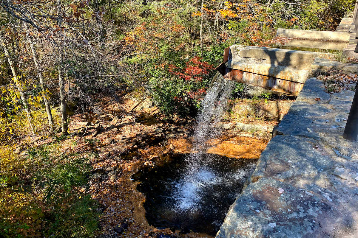
This dam was built by the CCC during the Great Depression.
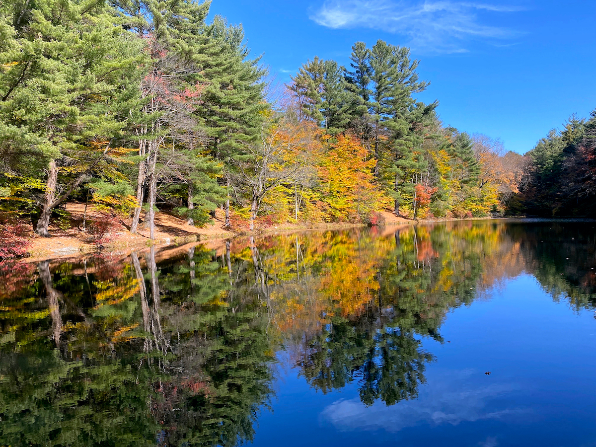
This beautiful lake was formed when the dam was built.
Shades of fall.

Saylorville Dam and Falls along Sand Spring Road.

Bridge crossing Hickory Run on Sand Spring Road.