Most of the identified work aboard DD462-11 is done, or could be done in just a quick spurt of effort, but we are still here; due apparently to local government bureaucracy. (Continued…)
Tag Archives | trawlers
Cruisers don’t have plans, just intentions
Seems the norm here, this time of year, is fog – we planned to leave Sommes Harbor on Sunday, but looked like fog would not get us anywhere further (Carina left, but only made it to Southwest Harbor a hop skip from here). We were hoping to leave …
Thursday, Augus 16, 2012
The storm began this morning around 6:00 A.M. Lots of thunder and lightning and then the rain came. So, today I spent most of the day sewing. I finished a shirt for John. I’m not certain that he will wear it because it is so lou…
Truly on our own
My travels so far have taken me to many exotic and strange lands, some seemingly so different it is hard to believe on the same planet. I have crossed the largest ocean, several major seas, and visited 15 new countries. All this and…
Only in Indonesia
In what world would I hand a bunch of unemployed young guys hanging around a derelict boat two and a half million dollars (about $250 usd and several month’s income for these guys) with the complete confidence that the nex…
Moor $tuff 2012-08-16 13:46:00
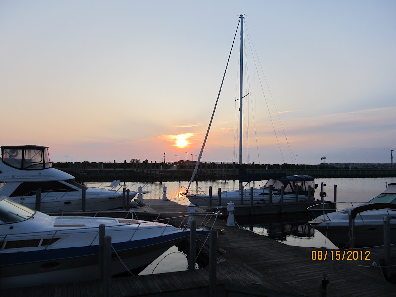
Wednesday, August 15, 2012
85°15.454’ W
45°18.996’ N
Charlevoix City Marina (Lake Michigan)
Charlevoix, Michigan
 |
| Leaving Rogers City |
 |
| Forty Mile Point Lighthouse |
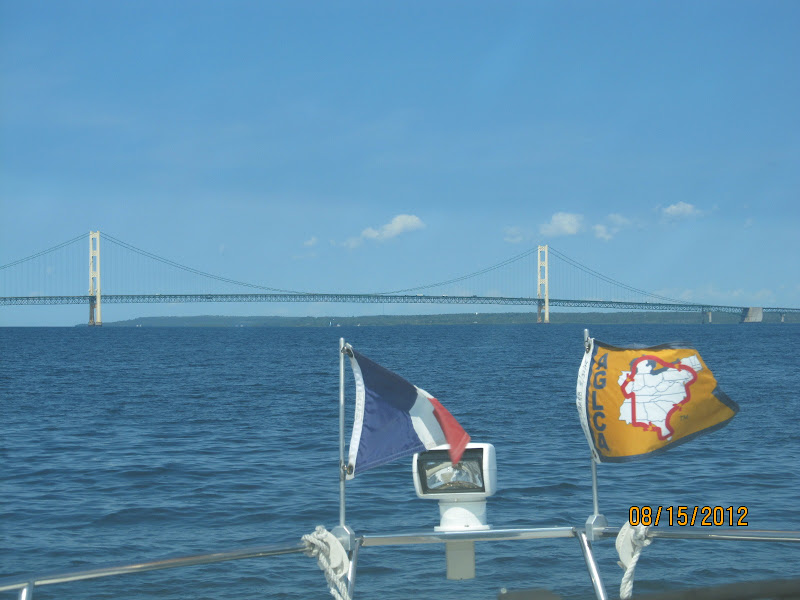
What a day we had today! We started heading north to Mackinaw City with a little chop under us when all of the sudden the sea laid down and turned to glass! As the time passed we started discussing the possibility of going further. If the cruise day was extended we would have to pass through the Mackinaw Straits which we had done six times before! The straits have never been kind to us and extending a long day to enter the Mackinaw Straits didn’t make the most sense.
 |
| Poe Reef Light |
 |
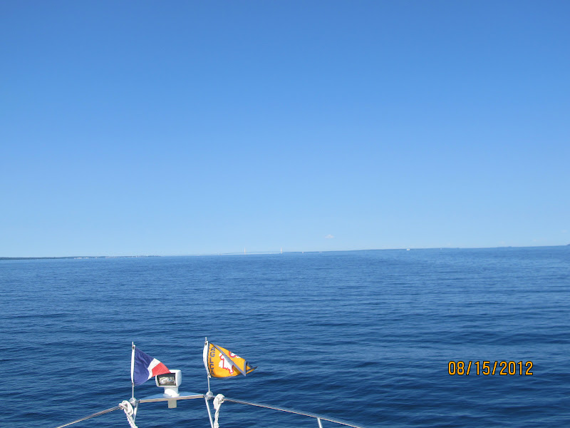
| Our first view of the Mackinaw bridge |
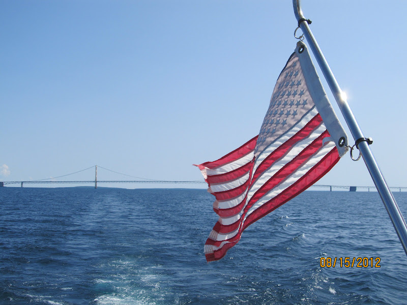
As we got within an hour of the Mackinaw Bridge the water was still glass and the possibility of doing the straits started looking better and better! We called ahead and put our name on a waiting list at Charlevoix Harbor and agreed that if we had no guaranteed slip that we would stay in Mackinaw City. As I was making our approach to the mouth of the marina at Mackinaw City, the phone rang and we were guaranteed a slip in Charlevoix so I changed coarse and headed into the straits. We still had the choice of turning back if the straits were to rough but they were like glass! The water conditions stayed glass like until we reached Charlevoix 52 miles later or a total of 110 miles from Rogers City to Charlevoix our longest day this season!
 |
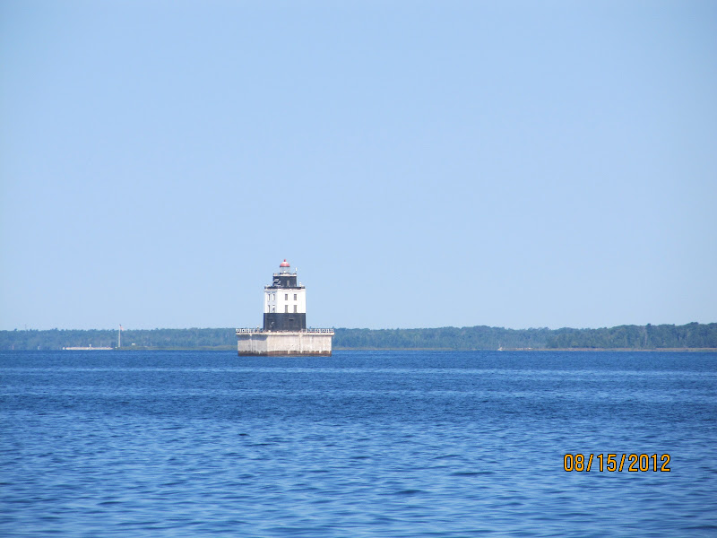
| Fourteen ft Shoal Light |
 |
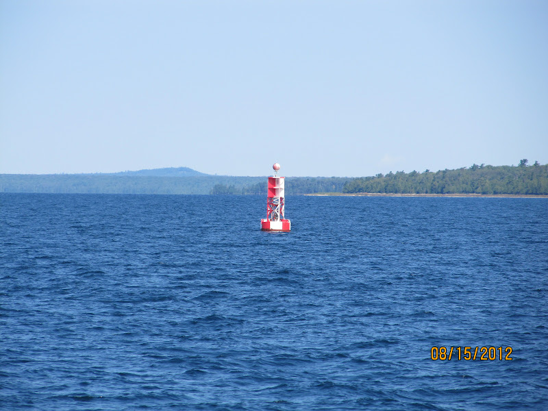
| Red/White Bell buoy |
The weather prediction is not looking good for the next three to four days so we will stay in port and enjoy Charlevoix to its fullest. This is a beautiful city and port to get weathered in!
Considering the 18,000 or 19,000 miles Barb and I have cruised since we left on this adventure in 2008, Lake Michigan is our home waters and there’s comfort in being close to home!
 |
| Mackinaw Bridge |
 |
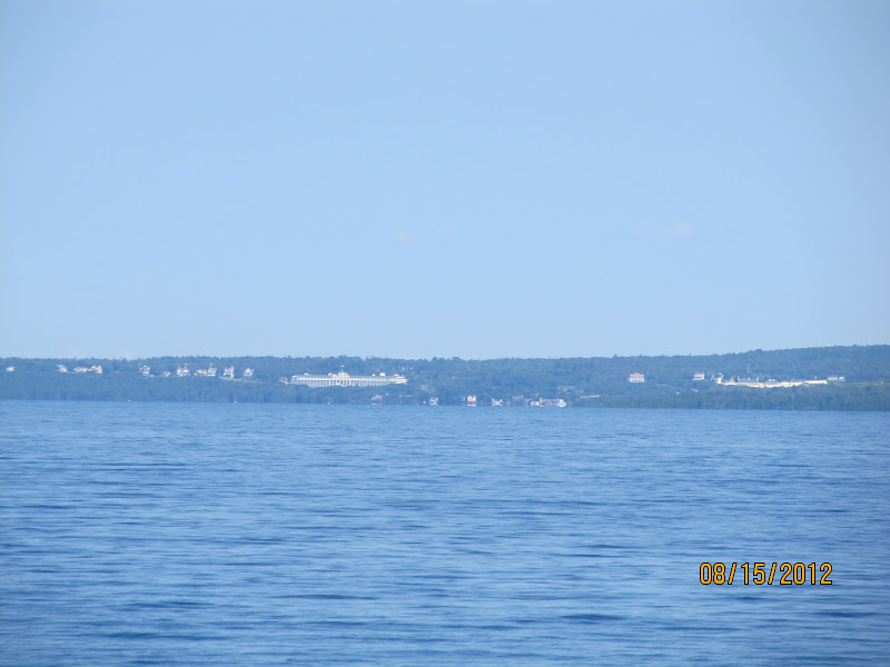
| Mackinaw Island |
 |
| Mackinaw Bridge |
 |
| Looking back at the bridge |
 |
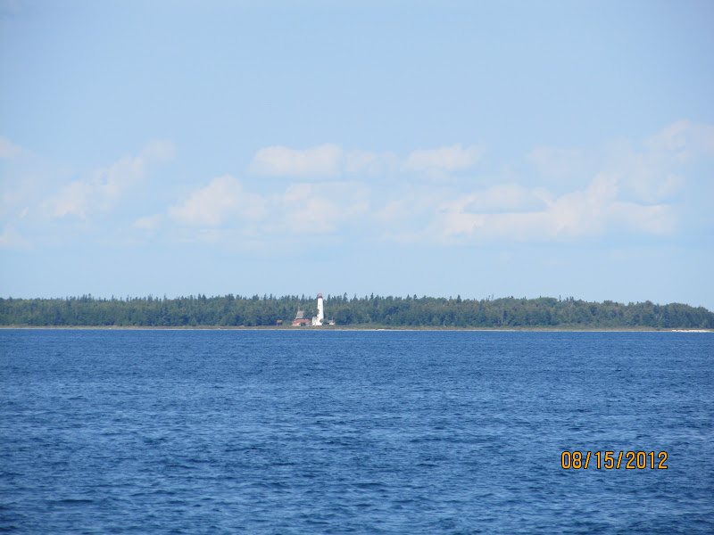
| St. Helena Island Lighthouse |
 |
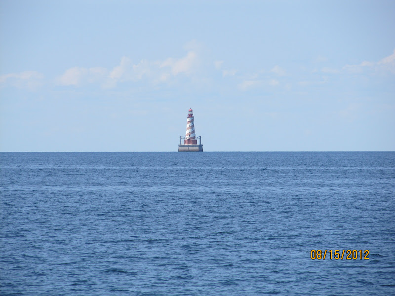
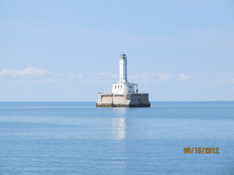
| White Shoal Light |
 |
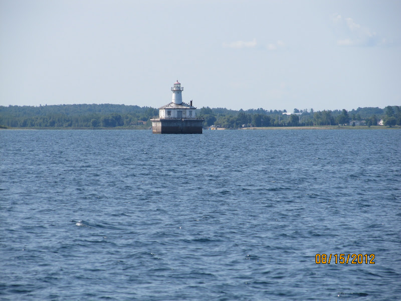
| Grays Reef Light |
 |
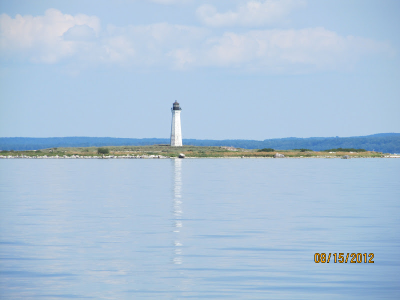
| Ile Aux Galets Light |
 |
| Arriving at Charlevoix |
 |
| Channel into Charlevoix |
Moor $tuff 2012-08-16 12:46:00
Wednesday, August 15, 2012
85°15.454’ W
45°18.996’ N
Charlevoix City Marina (Lake Michigan)
Charlevoix, Michigan
 |
| Leaving Rogers City |
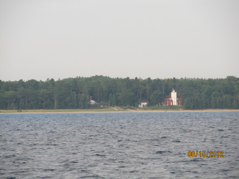 |
| Forty Mile Point Lighthouse |
What a day we had today! We started heading north to Mackinaw City with a little chop under us when all of the sudden the sea laid down and turned to glass! As the time passed we started discussing the possibility of going further. If the cruise day was extended we would have to pass through the Mackinaw Straits which we had done six times before! The straits have never been kind to us and extending a long day to enter the Mackinaw Straits didn’t make the most sense.
 |
| Poe Reef Light |
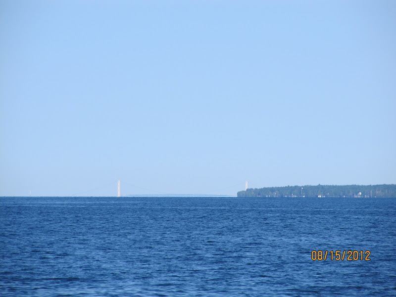 |
| Our first view of the Mackinaw bridge |
As we got within an hour of the Mackinaw Bridge the water was still glass and the possibility of doing the straits started looking better and better! We called ahead and put our name on a waiting list at Charlevoix Harbor and agreed that if we had no guaranteed slip that we would stay in Mackinaw City. As I was making our approach to the mouth of the marina at Mackinaw City, the phone rang and we were guaranteed a slip in Charlevoix so I changed coarse and headed into the straits. We still had the choice of turning back if the straits were to rough but they were like glass! The water conditions stayed glass like until we reached Charlevoix 52 miles later or a total of 110 miles from Rogers City to Charlevoix our longest day this season!
 |
| Fourteen ft Shoal Light |
 |
| Red/White Bell buoy |
The weather prediction is not looking good for the next three to four days so we will stay in port and enjoy Charlevoix to its fullest. This is a beautiful city and port to get weathered in!
Considering the 18,000 or 19,000 miles Barb and I have cruised since we left on this adventure in 2008, Lake Michigan is our home waters and there’s comfort in being close to home!
 |
| Mackinaw Bridge |
 |
| Mackinaw Island |
 |
| Mackinaw Bridge |
 |
| Looking back at the bridge |
 |
| St. Helena Island Lighthouse |
 |
| White Shoal Light |
 |
| Grays Reef Light |
 |
| Ile Aux Galets Light |
 |
| Arriving at Charlevoix |
 |
| Channel into Charlevoix |
Moor $tuff 2012-08-16 12:42:00
Tuesday, August 14, 2012
83°48.706’ W
45°25.380’ N
Rogers City Marina (Lake Huron)
Rogers City, Michigan
 |
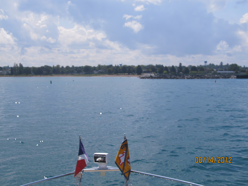
| Leaving Harrisville |
 |
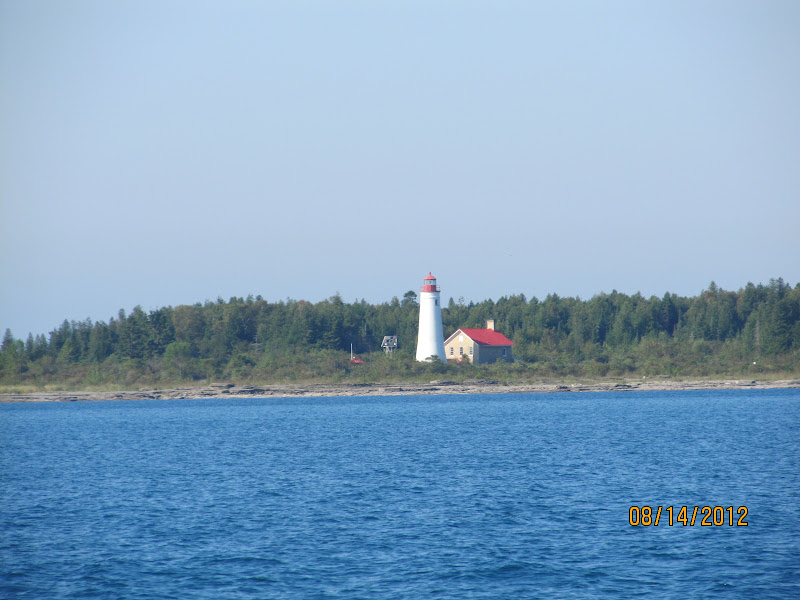
| Sturgeon Point Lighthouse |
Our luck continues to hold with good weather. The sea was fairly quiet with little to no waves for most of the cruise. We started early and covered 72 miles without incident.
 |
| Middle Island Lighthouse |
 |
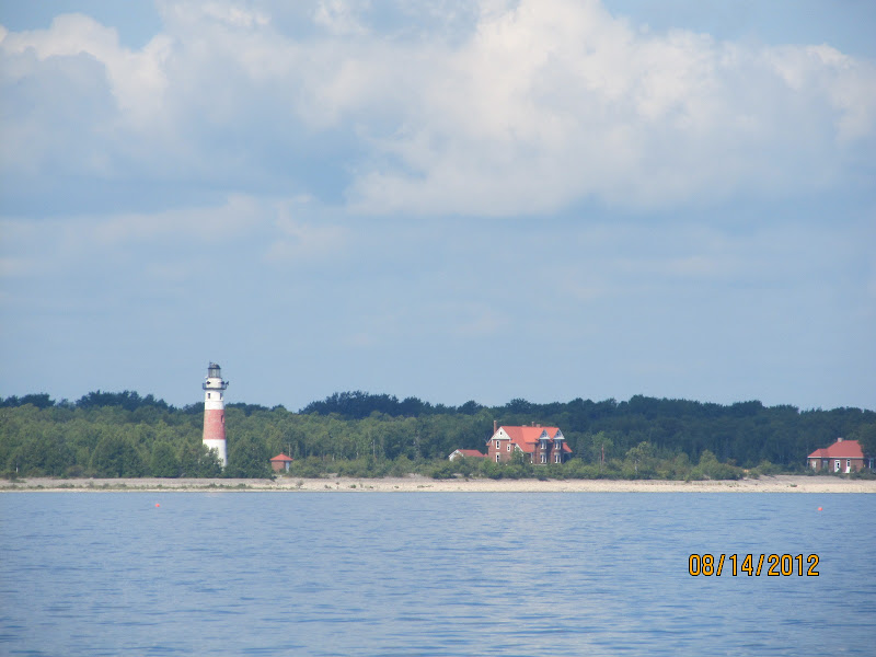
| Presque Isle Lighthouse |
The east coast of Michigan is boring at best and the ports of call are safe havens usually located near a small bar serving bar type food! This city had an Oriental restaurant that we could sit down and enjoy the cuisine which we did.
Tomorrow we’re hoping the weather will hold and plan to make port in Mackinaw City!
 |
| Arriving in Rogers City |
 |
| Street in Rogers City |
 |
| Rogers City Marina |
Moor $tuff 2012-08-16 12:42:00
Tuesday, August 14, 2012
83°48.706’ W
45°25.380’ N
Rogers City Marina (Lake Huron)
Rogers City, Michigan
 |
| Leaving Harrisville |
 |
| Sturgeon Point Lighthouse |
Our luck continues to hold with good weather. The sea was fairly quiet with little to no waves for most of the cruise. We started early and covered 72 miles without incident.
 |
| Middle Island Lighthouse |
 |
| Presque Isle Lighthouse |
The east coast of Michigan is boring at best and the ports of call are safe havens usually located near a small bar serving bar type food! This city had an Oriental restaurant that we could sit down and enjoy the cuisine which we did.
Tomorrow we’re hoping the weather will hold and plan to make port in Mackinaw City!
 |
| Arriving in Rogers City |
 |
| Street in Rogers City |
 |
| Rogers City Marina |
We finish the North Channel – Gore Bay to Drummond Island USA
On Monday (8/13), after walking through the Gore Bay business district, we departed with Jan’s Tern for Meldrum Bay at the west end of Manitoulin Island. The 35 mile trip on flat water took 4 hours thanks to light and variable winds.&nb…