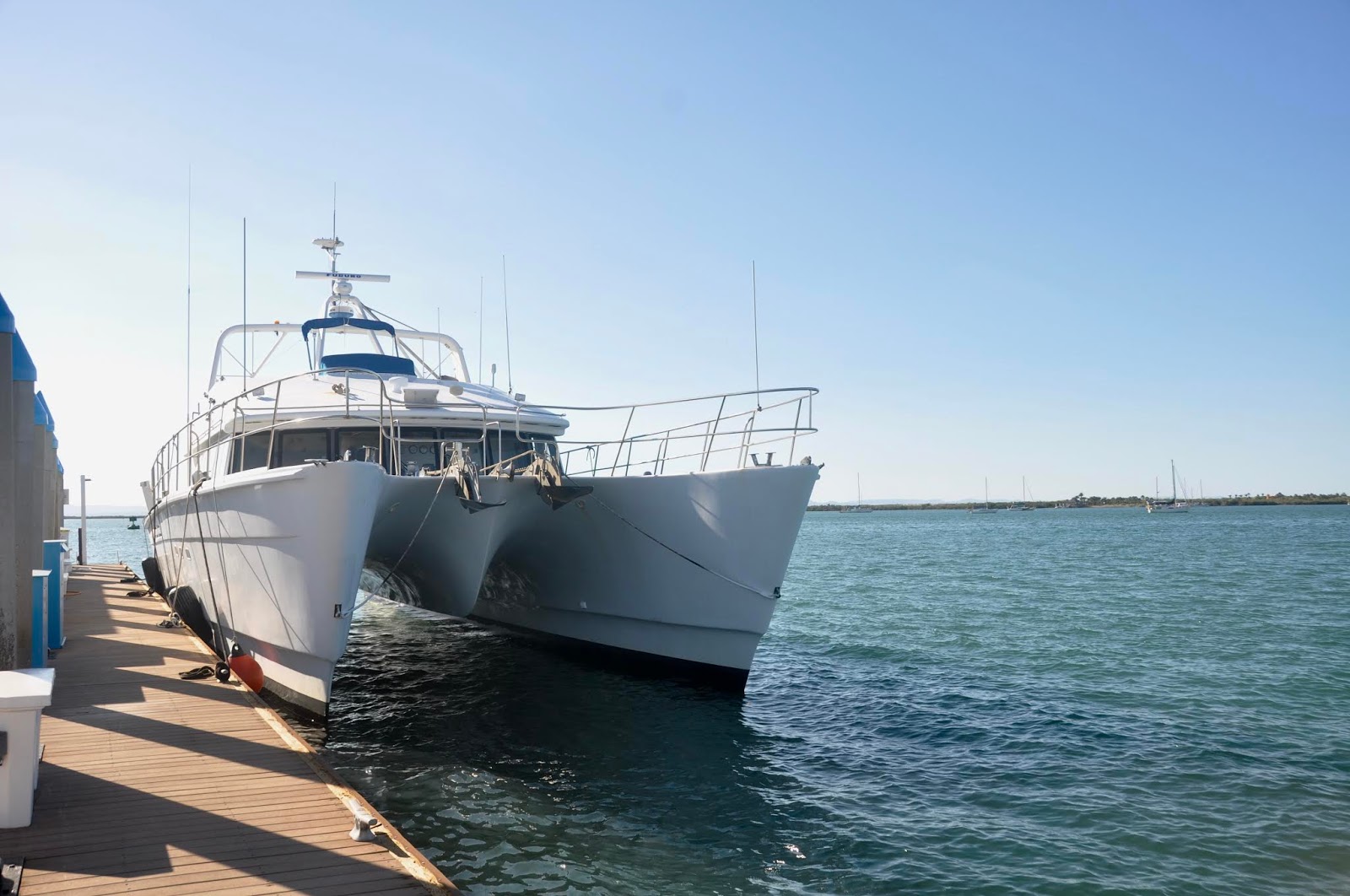
DODGING HURRICANES in HAWAII
 |
| Coasting along |
November 29, 2018
San Carlos, Sonora, Mexico
HECTOR, LANE, MYRIAM, NORMAN, OLIVIA, WALAKA… and then, WILLA! this was our hurricane train during our Hawaiian season and we had to play dodge-ball.
 |
| If anything else, we ate healthy foods! Say, ‘Poke?” |
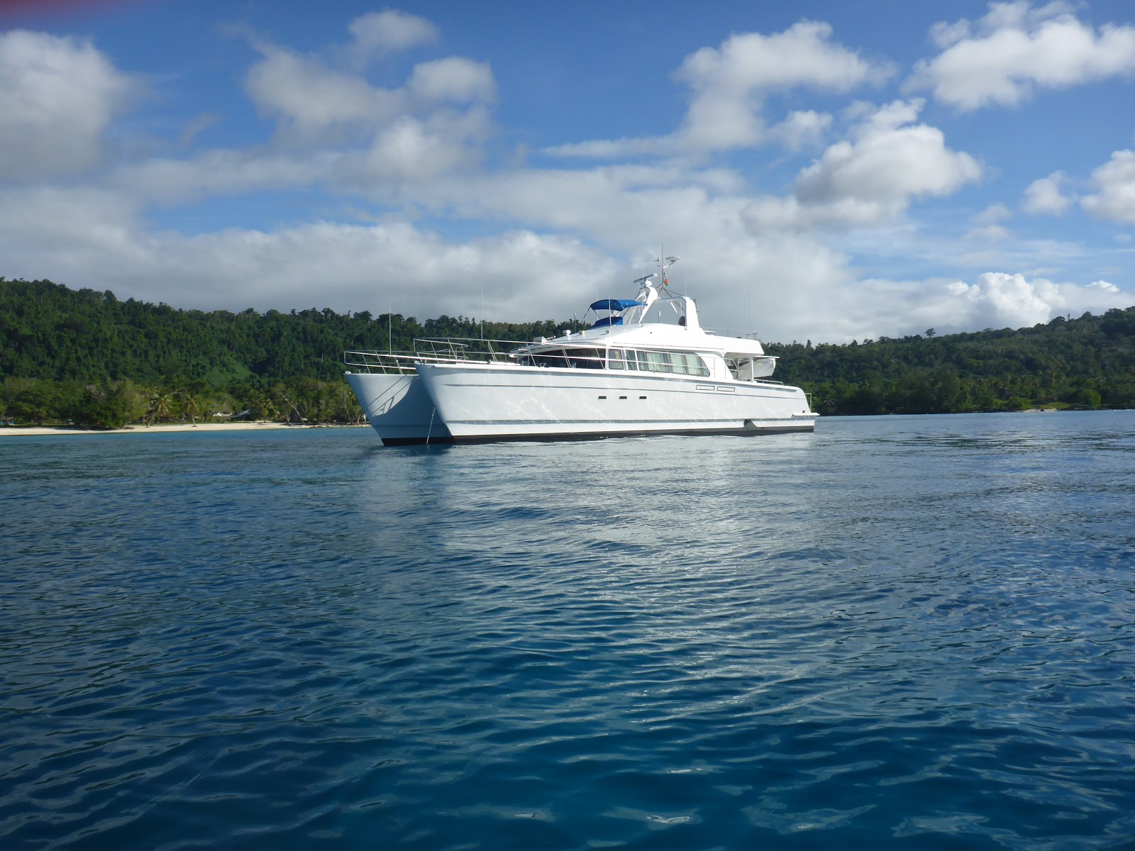
It took me a while to recover from our season in Hawaii, possibly the most difficult in the last 9 years of cruising. As I mentioned in my first Hawaiian blog, protected anchorages and few and far between and marinas are full, unable to accommodate large transient yachts like ours (except for a few very expensive private marinas, some of them not even allowing stay-aboard.) So we kept a weary eye on the weather and kept hopping around.
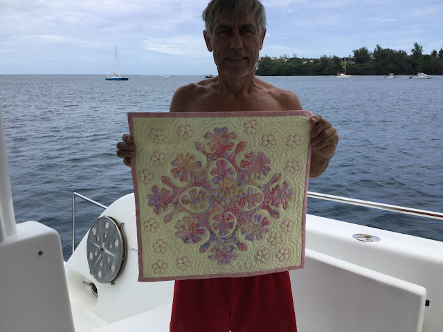 |
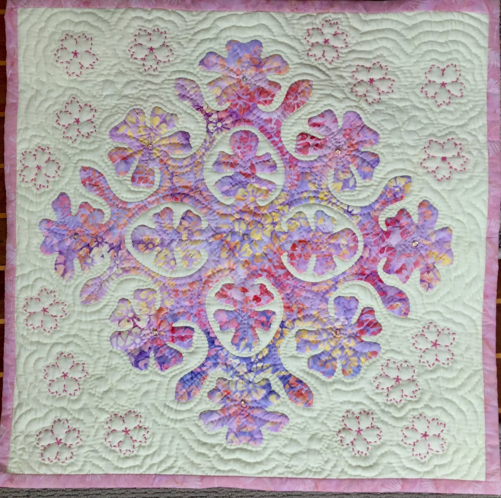
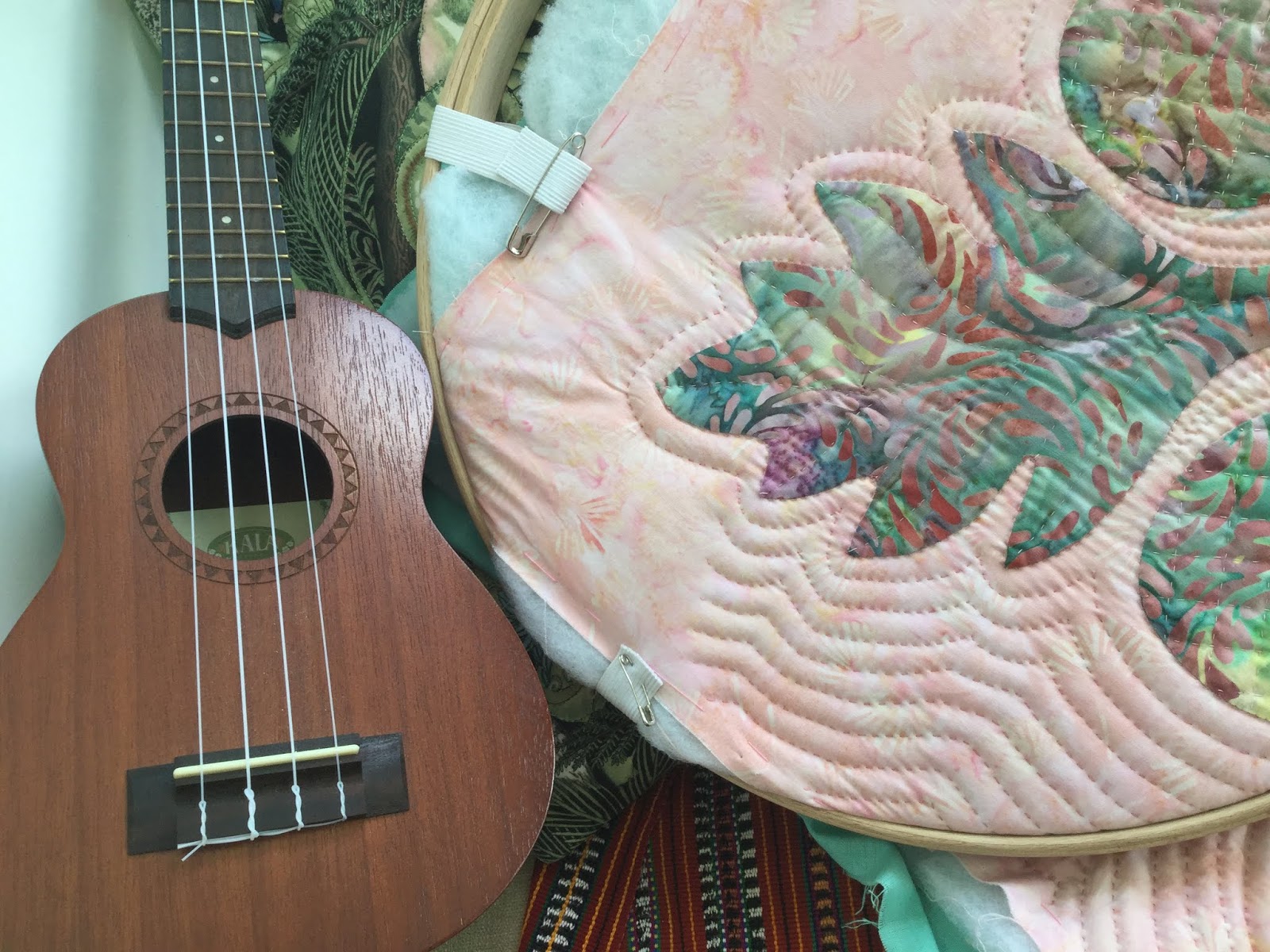
| Checked that on my bucket list: Learned traditional Hawaiian quilting! |
As soon as HECTOR dissipated, we headed south of Honolulu to Molokai.
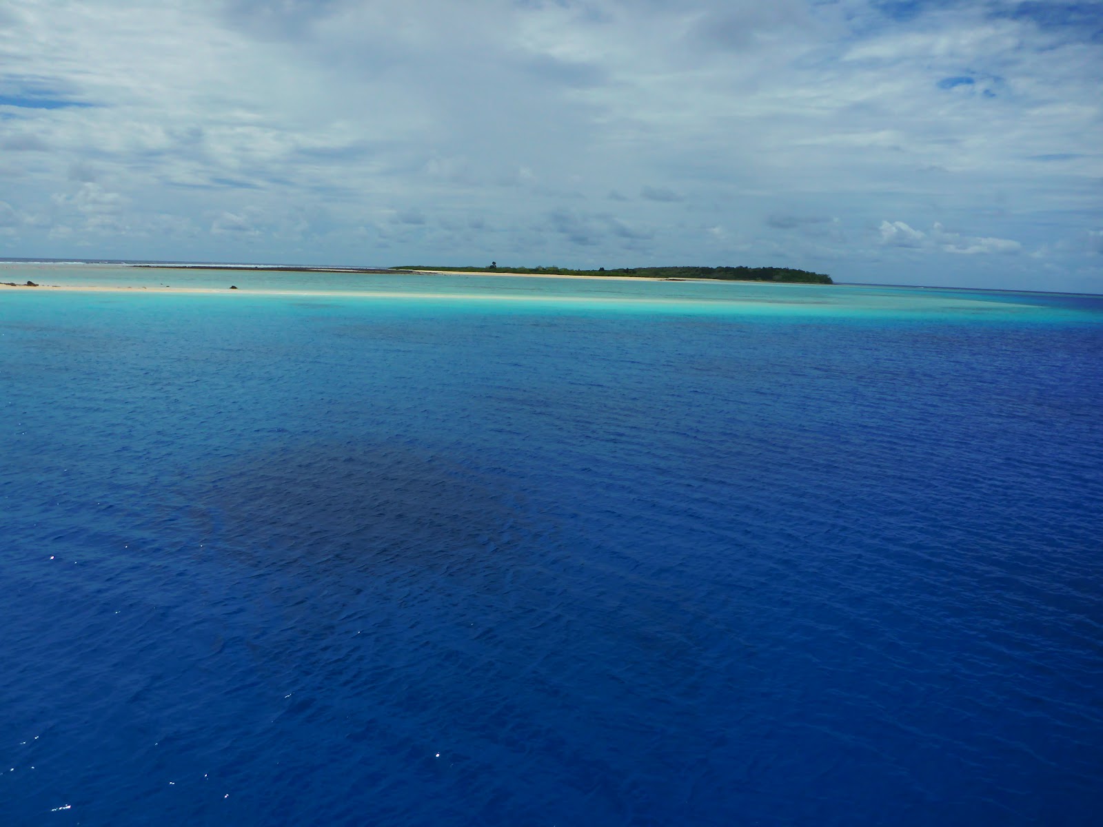
Lono harbor – 21*05.161N, 157*14.925W – used to be a commercial harbor for ships transporting gravel out of Molokai has fallen in disrepair since the quarry has been shut down. It is nothing more than a mud hole, slimy and slippery mud with poor holding power. After re-anchoring a couple of times, we found a solid rock to grip on and held. By morning we were on our way to Lanai, aware that Molokai’s true magic resides on the north shore, not in a mud hole on the south shore. Still, it’s a convenient overnight stop.
 |
| yep, one of the 7 Hawaiian quilts I had time to finish… bad weather has some good aspects! |
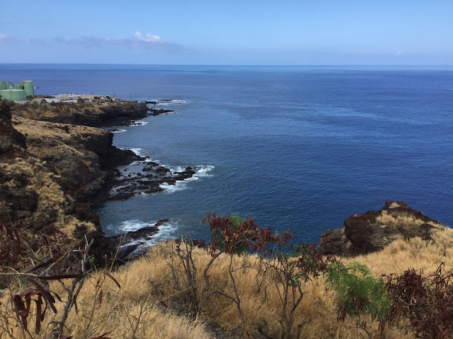
LANAI
Lanai’s Kaumalapau Harbor – 20*47.108N, 156*59.419W – Another “used-to-be” harbor, but in better shape than Lono. A good seawall protects the inner harbor once used by the DOLE Pineapple company. Lanai, the pineapple island. Not much more of that any longer, though. We dropped anchor in the narrow groove between 2 ledges, thankful to be the only yacht there since there is not room for 2 boats. In spite of the wind gusts falling from the Kaumalapau Gulch, we enjoyed relative quiet, snorkeled the marginally interesting ledges to port and starboard, and hiked up the hill in search of a phone signal. It was my birthday treat to be able to talk to my kids and take in the stunning view above the harbor.
 |
| The Lanai coast |
The Pinnacles at Nanahoa – 20*49.667N, 156*59.717W – Three grant pillars stick straight out of the sea and we gave the anchorage a try. Three times wasn’t the charm as we kept plowing through coarse gravel as soon as JP put any kind of power into the pull. We took a good look at the sea foaming around the pinnacles and decided this wasn’t the day to snorkel the place. Off to the next anchorage.
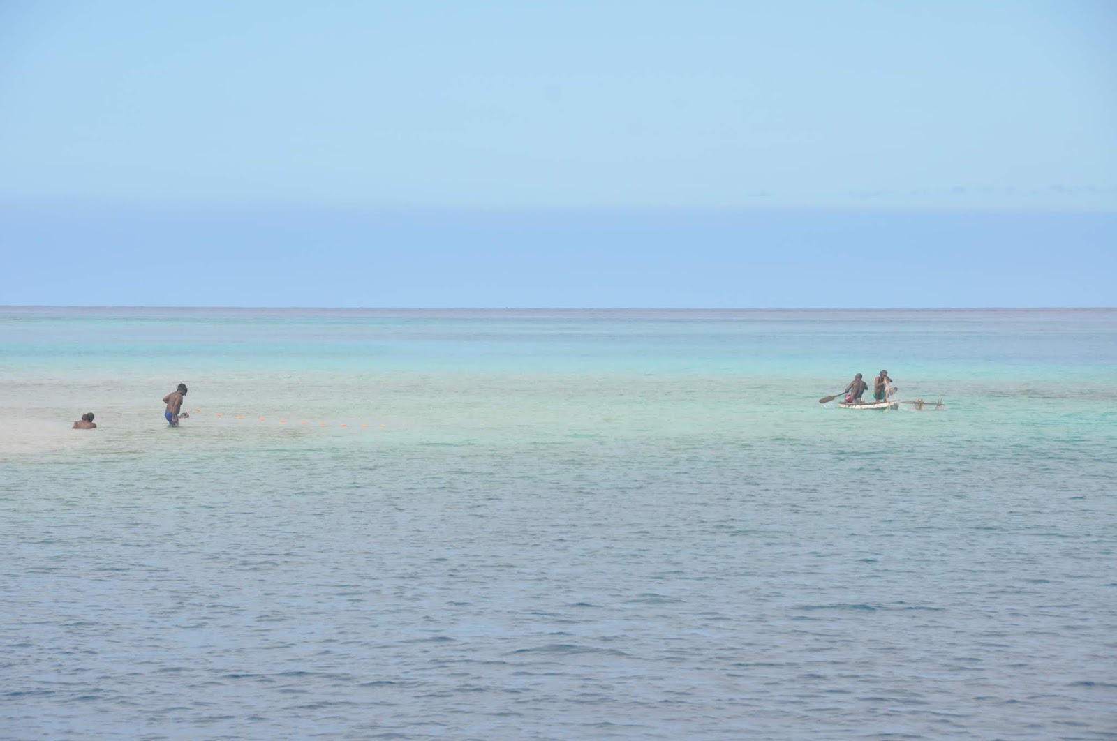
Kalama Bay – 20*47.809N, 145*59.381W – Dubbed “A Snorkeler’s Paradise,” Kalama is indeed full of day-charters who dump dozens of tourists over the reefy boulders. Again, we dropped anchor into a gulch between 2 ledges, again thankful we were the only cruisers. Overboard we went and snorkeled the entire bay, noticed a good number of reef fish over rocks. OK, that was it for us.
 |
| Kalama Bay… rocky spot! |
Yes, after the splendor of the corallian atolls of the South Pacific, we are jaded and underwater Hawaii left us unimpressed. Time to check things above water.
MAUI
To stay in Hawaii during hurricane season, we had to have a compelling reason or two: family and friends in Maui. We were so excited to see our nephew in Lahaina, our friends in Pahia, and to have our grandchildren on board for 10 days! We also kept an eye on the weather. Hurricane LANE was spinning, currently SE of Hawaii, traveling west, on track to pass south of the Big Island the way HECTOR had done. Seemed safe enough.
 |
| Our favorite eatery: Mala Tavern |
Mala Wharf – 20*52.511N, 156*41.081W – An easy and excellent anchorage in most conditions, Mala Wharf is close enough to Lahaina and Kanapaali to feed all touristic hungers. And we indulged! KOA restaurant in Lahaina, MALA TAVERN in Mala (Old Lahaina) took top gourmet notes! Our nephew showed up for a wonderful sunset dinner and our friend Judie hopped on for a Champagne reunion. How fun!
 |
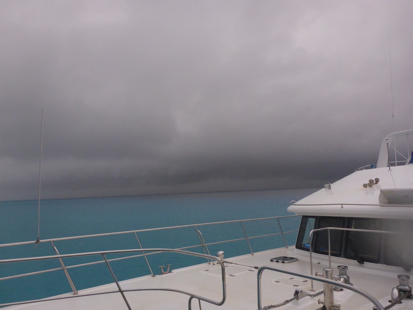
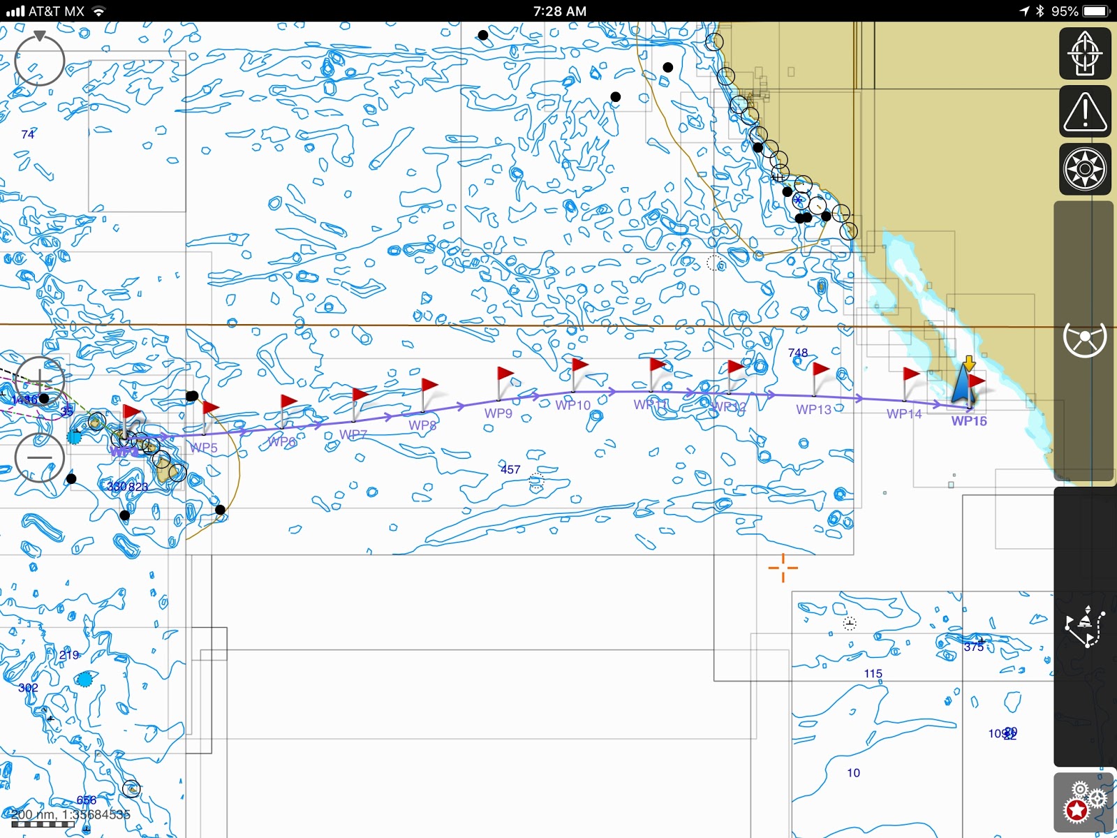
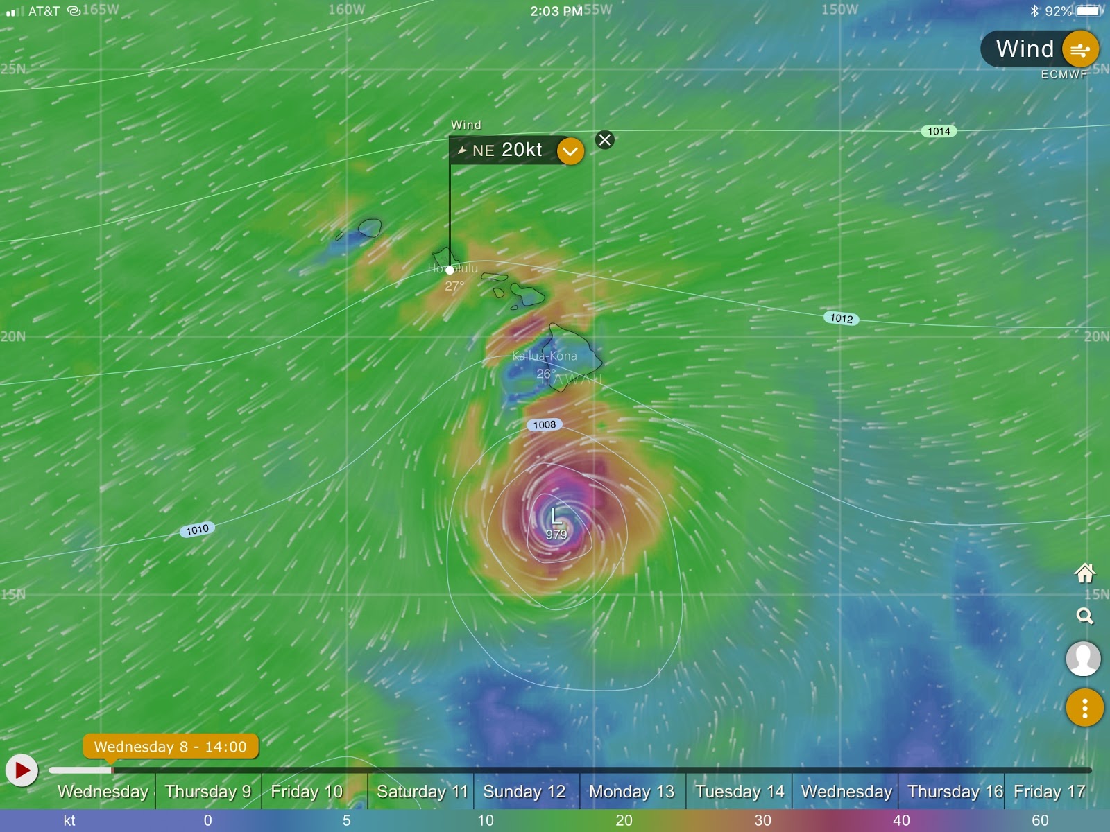
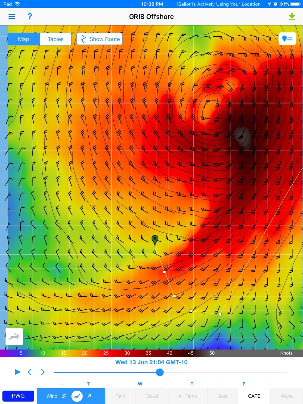
| LANE is headed for us |
Now, it was our grandkids’ turn. But LANE had decided otherwise. This Cat.4 hurricane was suddenly predicted to clip the south of the Big Island and to make a 90 degree turn to starboard, coming NORTH, headed right for the heavenly little pond bordered by Maui to the east, Lanai to the west, Kaho’olawe to the south, and Molokai to the north. The storm was still 3 days away but we had to plan ahead.
Suddenly we were on alert. We still had time to show the kids the turtles swimming around Mala Wharf, and had a not-too-soggy Road to Hanna excursion.
 |
| Our nephew looked out for us, keeping us appraised of all the hurricanes’ tracks. |
Soon, it became clear that we would have to evacuate the anchorage. Our Hawaiian friends rallied to host the grandkids on land under the protection of Mt. Haleakala. The kids were taken care of, even if their parents were frantic. My nephew soon called me from his post at the USCG Maui: “expect 110mph winds and 22’ swells in Mala in 36 hours. Get out!”
 |
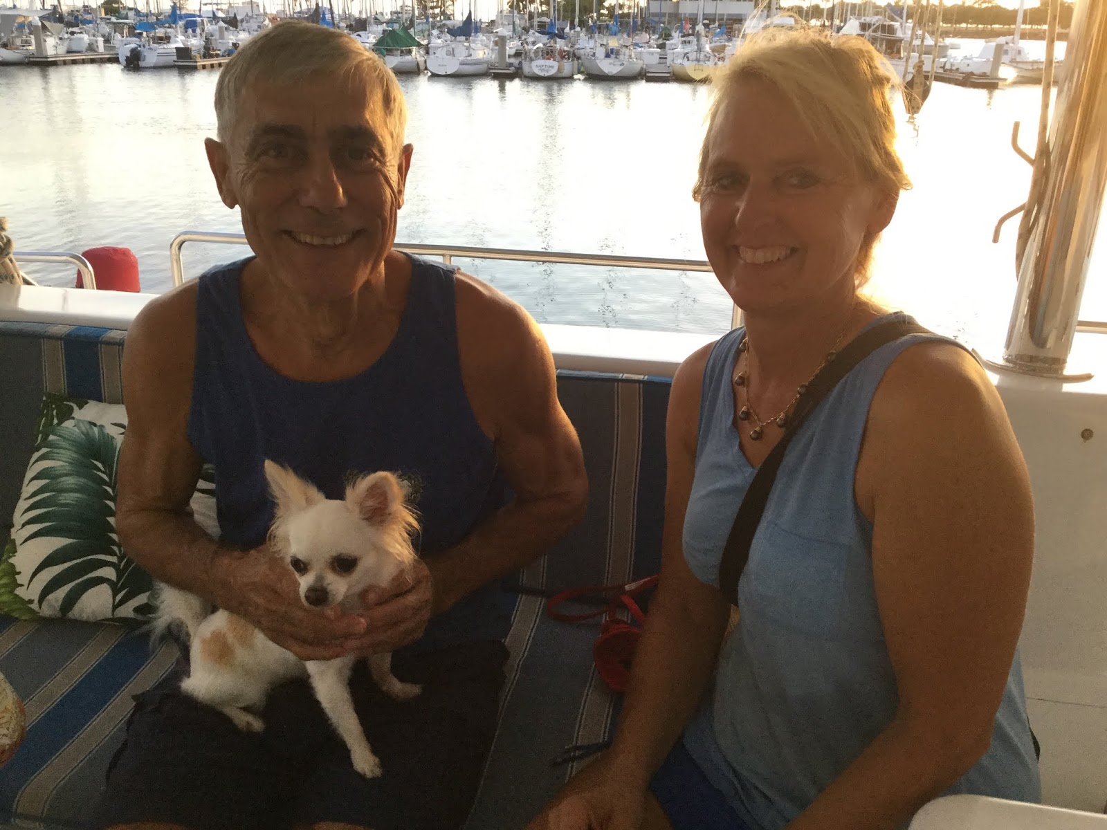
| Reuniting with Judie, such a sweet moment! |
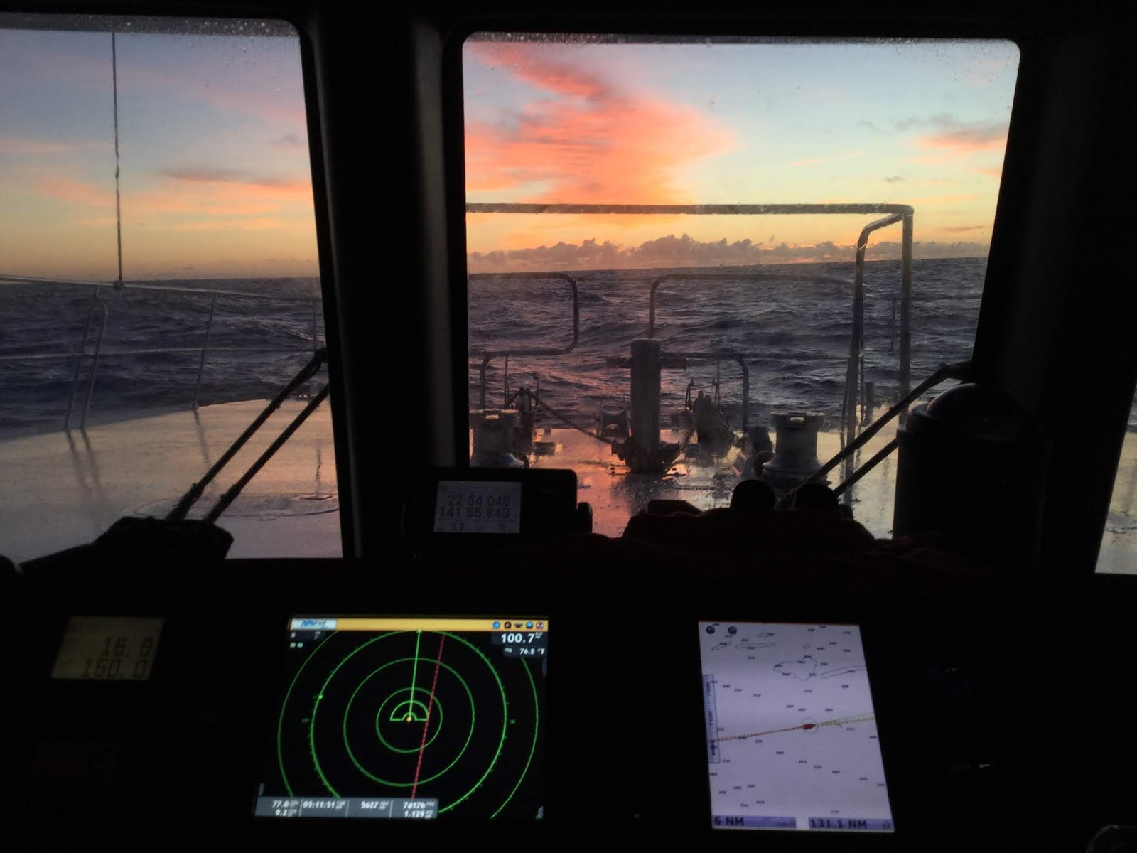
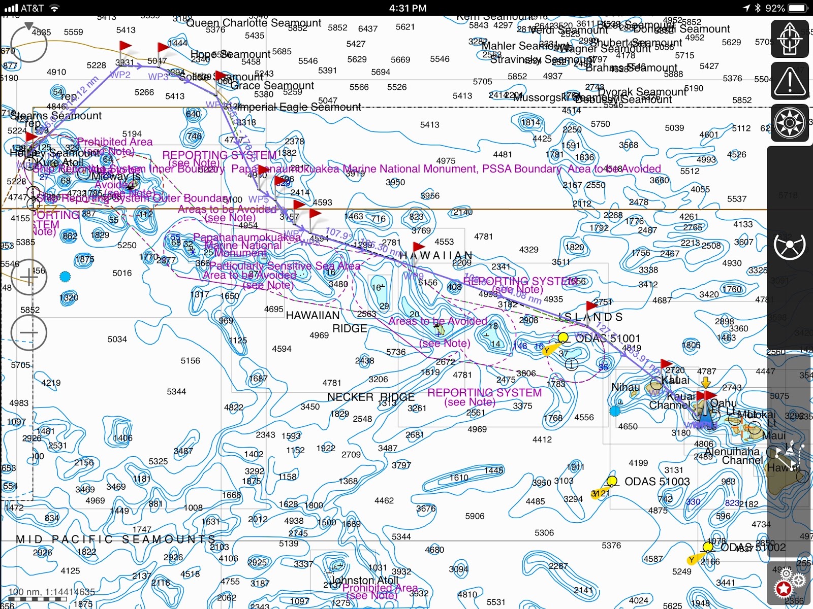
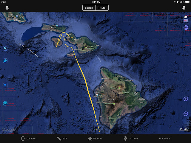
And where were we supposed to go? We were now in Condition Zulu, all harbors closed to commercial traffic and the Maui Harbormaster did not consider us a private yacht, did not authorize us to anchor at Kahului Harbor (where we would have been safe) and only asked, “Can you get away from this thing?” Well, of course, we could! With the USCG airplane screaming the Hurricane Alert siren above us, we made our way NE of Maui…. 200 miles NE! It was a new experience, slogging head on into 6’ waves, 25-30 kts of wind, taking it easy at 6.5 kts, relatively comfortable. When after 36 hours we found some of the Navy ships maneuvering, we felt we were far enough. An eye on the weather, Iridium-texting my frantic daughters, reassured by by bored-to-tears grandchildren who thought LANE was lame, we turned around… but it was a bit too soon.
 |
| After LANE, it was OLIVIA! |
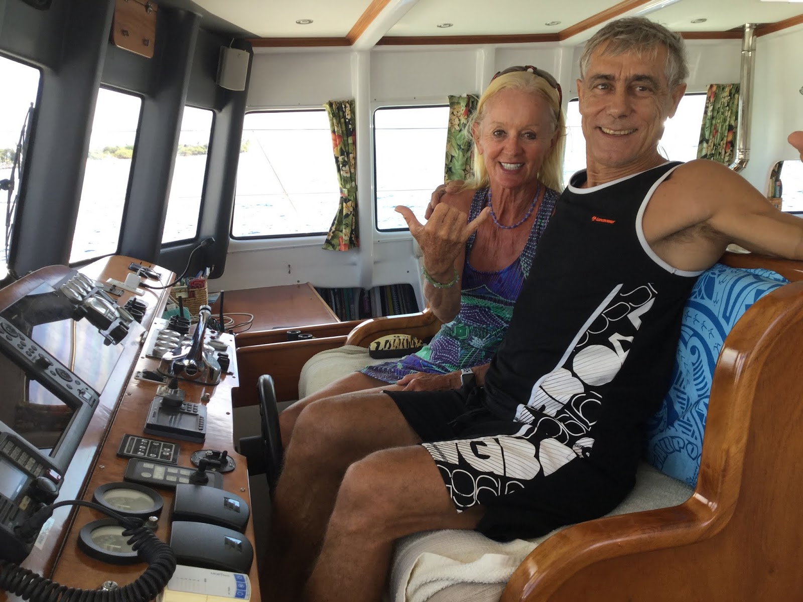
Oh my!!! How did we appreciate the toughness of our little ship. We were surfing 10-12’ following waves, propelled to 17kts at times, and I was blissfully napping when (JP later reported) a wall of white foam suddenly appeared to starboard. A wall! Foaming, breaking wave, taller than the boat! And it was on us! No time to do anything. JP thought “That’s it, we’re going down.” But our DOMINO tilted 45 degrees this way, slid down a bit, tilted 45 degrees the other way, and then kept on surfing the following waves! Catapulted out of my bed, I wondered what that was… a rogue wave that would most likely have swamped less capable boats, holed less sturdy ships, or sunk less seaworthy yachts. DOMINO shouldered it like a pro, shook the foam off her decks, and kept on going without a hiccup! Once more, we were astounded by our ship’s performance and sent a silent thanksgiving prayer to Malcolm Tennant who, we are sure, was grinning up above, quipping, “Told you so!” … and gave kudos to the flawless engineering by Anthony Stanton.
So, we turned back away from the storm once more and waited another 6 hours in the company of the tugboat fleet and the Hawaiian Responder environmental ship. When we saw them turn around, we joined their flotilla.
 |
| Smiles at last, as Miles, our Hawaiian son, joins us for a sleepover . Nothing like breakfast! |
Useless to say, the kids were ticked off at having to stay 4 days off the boat, cooped up indoors, waiting for the storm to pass. Yeah, for sure, at 8- and 16-year-old, a sad way to spend you hard-earned vacation, but a learning experience, especially one of gratitude towards our Ohana, our Hawaiian family (Moe, Janet, and Miles) who kept our kids safe.
 |
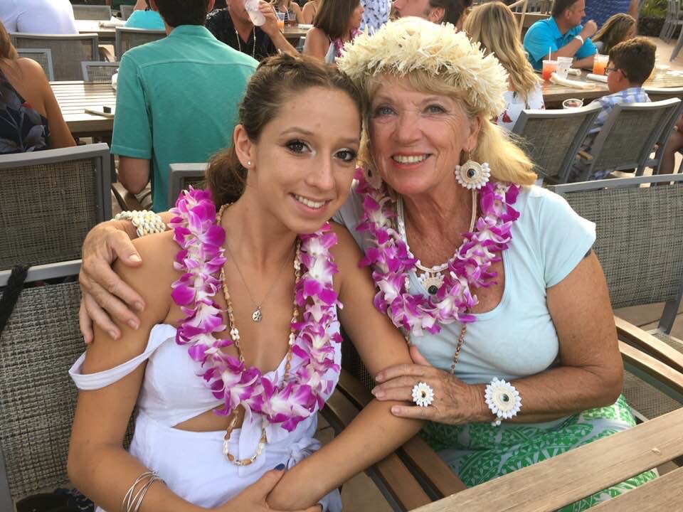
| What could be sweeter than time with your grandchildren… Luau at the Marriott |
It will remain a summer in the kids annals, and no matter how much fun we tried to pack in their last 3 days of vacation, this will remain in their memory the Summer from Hell, a special bond that Jackson and Zoe will share for ever!
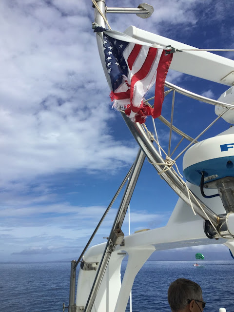 |
| LANE killed our flag and our port side navigation light. |
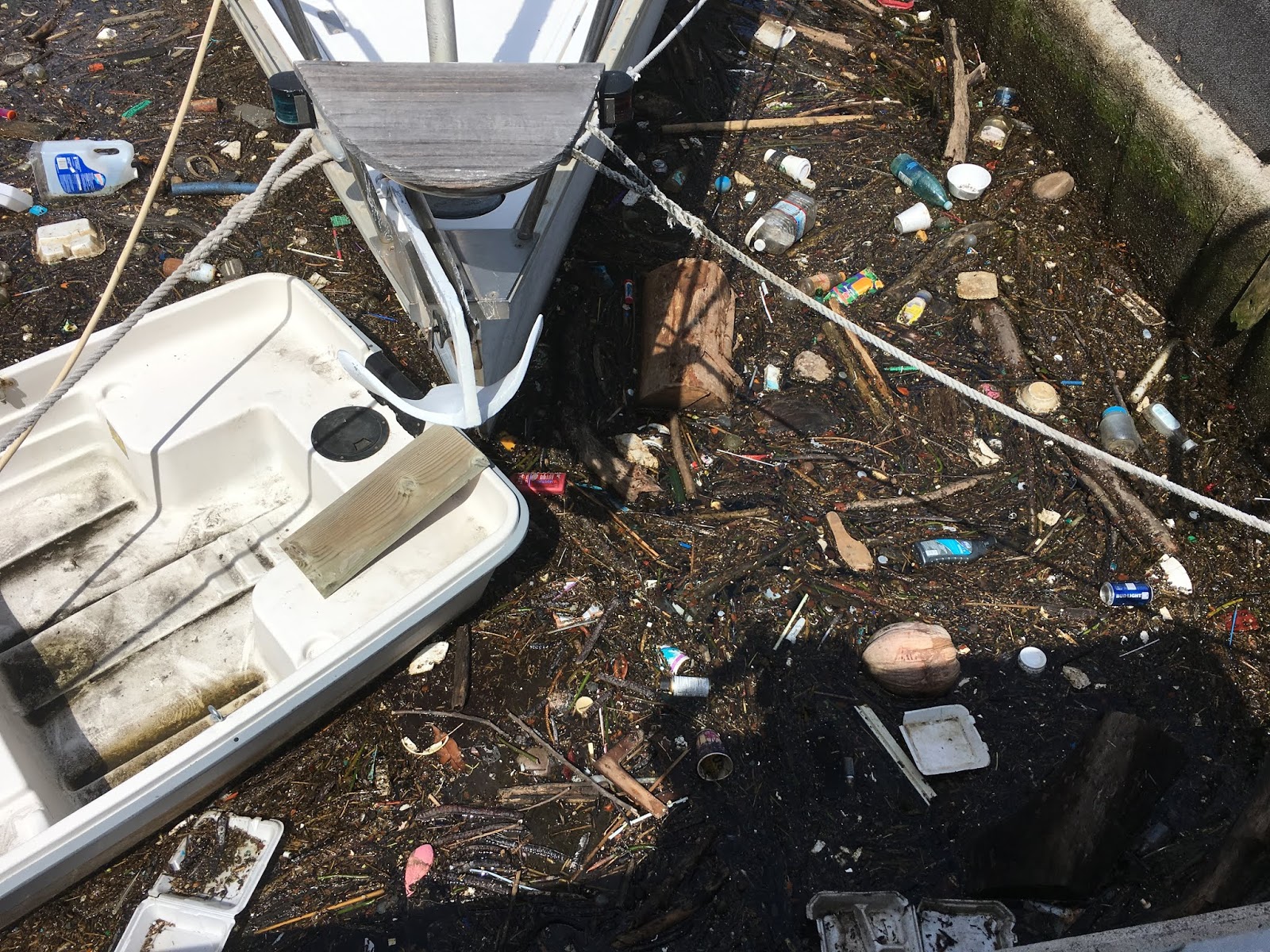
All told, LANE unleashed 70-80knts winds and 8-10’ swells in Mala and we sure were glad to have left, even if it cost us 470 NM round trip!
 |
| More family fun, our nephew and niece and their spouses…. |
Honolua Bay – 21*02.892N, 156*38.43W – Once the kids were gone and the seas calmed down, we checked out the popular Honolua Bay. Good anchorage, many charter boats during the day, many tourists in the water, and marginally appealing snorkeling. Time to move on! But where? Hurricane MYRIAM is churning to the east of the islands, so we wait another day to move south to KONA.
THE BIG ISLAND
 |
| KONA |
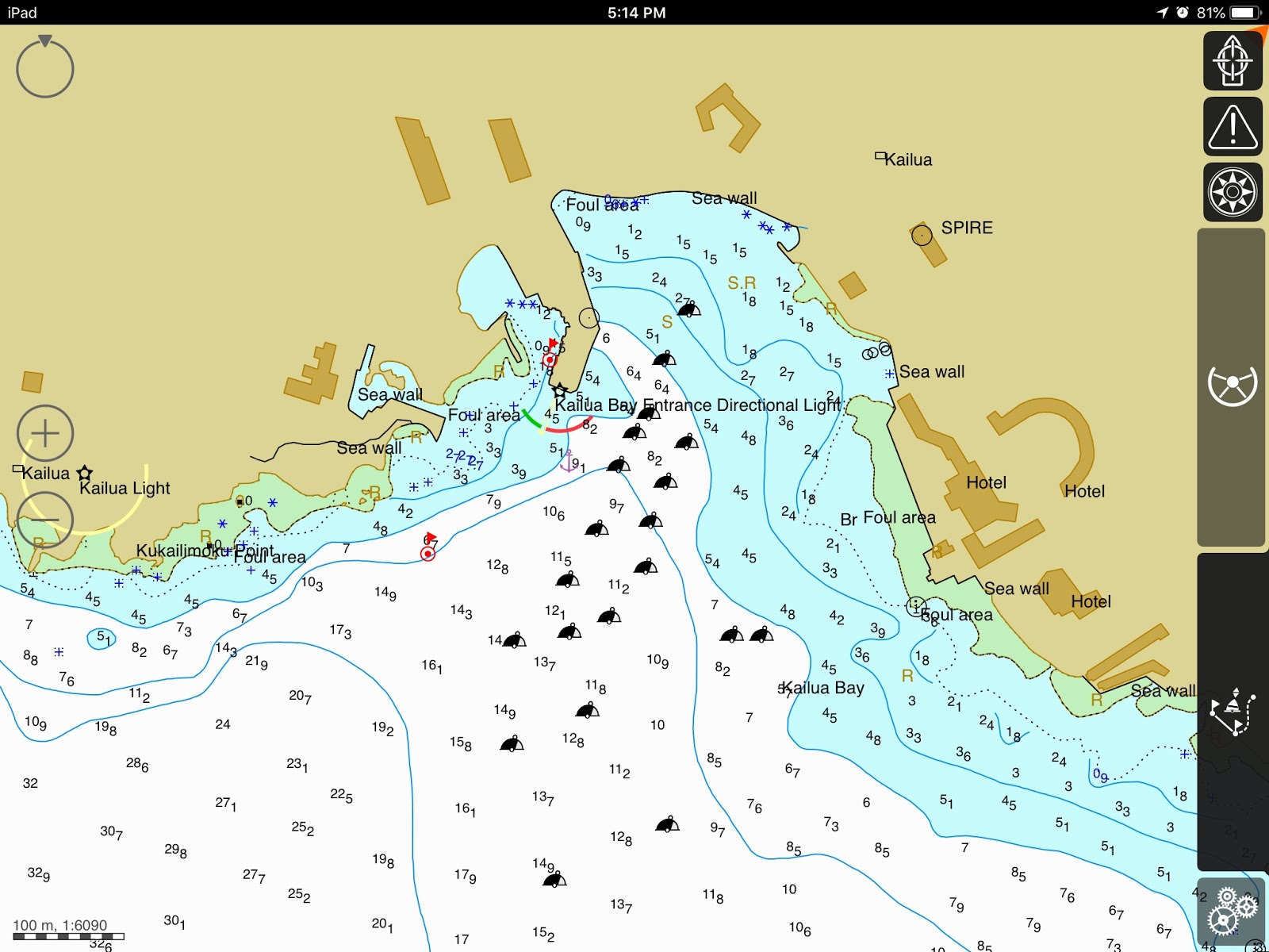
Kailua Kona – 19*38.269N, 155*59.763W – In calm conditions, this is a very picturesque spot. The old hotel, the church, the hills, it’s all so lovely in calm conditions. Not too many spots to drop anchor since the harbor is peppered with moorings. Oh yes, you could theoretically grab a DSLR mooring, as long as you bring all your tackle and drop someone to set it up before you tie up, and retrieve it after you leave!
 |
| Kona harbor… not as big as it seems |
We chose to drop anchor, once more between the reef outcrops, once more nervous about chain damage and holding. We also had to stay away from the Bay entrance directional light, another anchorage restriction.
 |
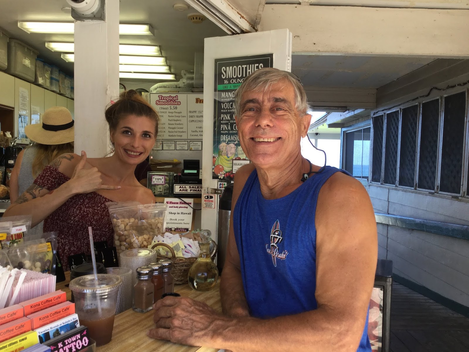
| Coffee tasting |
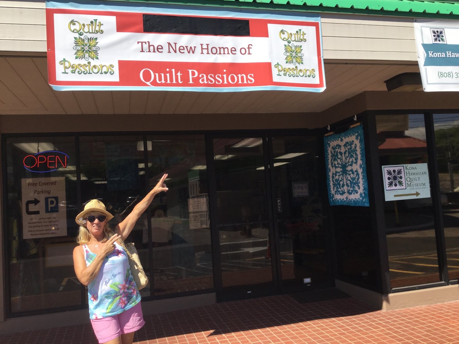
This said, Kona is a lovely town and of course we tasted the coffee and visited the quilt shops and the beautiful Hawaiian quilt museum. Yep, I was happy!
 |
| My happy place! |
But what else than two more hurricanes on the horizon? NORMAN is ending up being a non-issue, passing way east of the islands, but OLIVIA is churning our way… time to find shelter!
 |
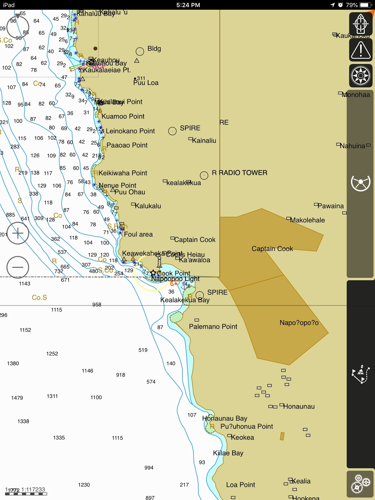
| The very protected anchorage at Cook Bay |
Kealakekua Bay (Cook’s Point) 19*28.426N, 155*55.416W – This has to be one of the most protected anchorages in Hawaii and we felt safe for the entire week we stayed there. Anchorage is restricted and skippers must mind the coral at the bottom. There is coral in this bay, struggling to grow, but there is good sand also. So, watch your sounder and open your eyes!
Yes, this is where Captain Cook was… cooked! Captured and killed by the locals, this extraordinary mariner is immortalized by a memorial at Napoopoo point. This is also a good place to snorkel, the only spot where we found a bit of color, albeit swimming in the oily residue of suntan lotion and sunblock oozing from the dozens of tourists floating around, freshly disgorged from the cruise ship anchored in Kona… as I said, popular spot!
Olivia passed NW of us, sparing the Big Island but scaring the beejeezus out of our friends in Honolulu and wrecking havoc in Kauai. We had dodged that one! Time to move north.
But we should have waited. We made the mistake of leaving a bit too soon and made the poor decision to anchor (again) in Kona while the swells from Olivia where still kicking out of the west… straight into the harbor. Needless to say, crowd was not a problem as the locals had moved somewhere else and we got our butt kicked all night!
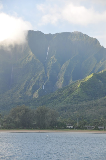 |
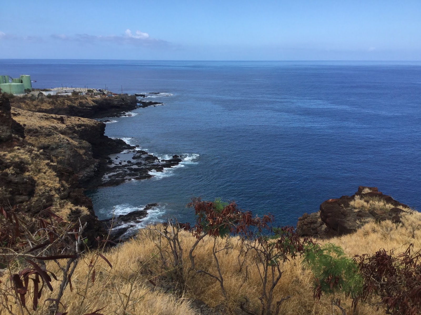
| Coasting along Molokai |
MOLOKAI – … butt kicked all night and all the way to Molokai! But once we turned the NE corner of Molokai, it was suddenly Heaven…
or rather, the garden of Eden, the primal forest dropping into the ocean, waterfalls playing with cloud wisps, and we were in Jurassic Park.
 |
| More MOLOKAI raw beauty |
It was totally unnerving! JP tried to convince me to anchor at Waikolu, behind Okala Island (21*10.472N, 156*55.933W). This is possibly the most stunning anchorage we have ever seen, small and almost on the rocky beach, but I could not even breathe! Yes, I was in a total panic! Something about this place is PRIMAL! I could not consider spending a night alone in that anchorage.
Off we went, anchored in the large Kalaupapa Bay – 21*11.303N, 156*59.179W – Nothing to note in that bay if only the lepers colony building and the stunning relief of the mountains. Molokai will keep its mystique in my book!
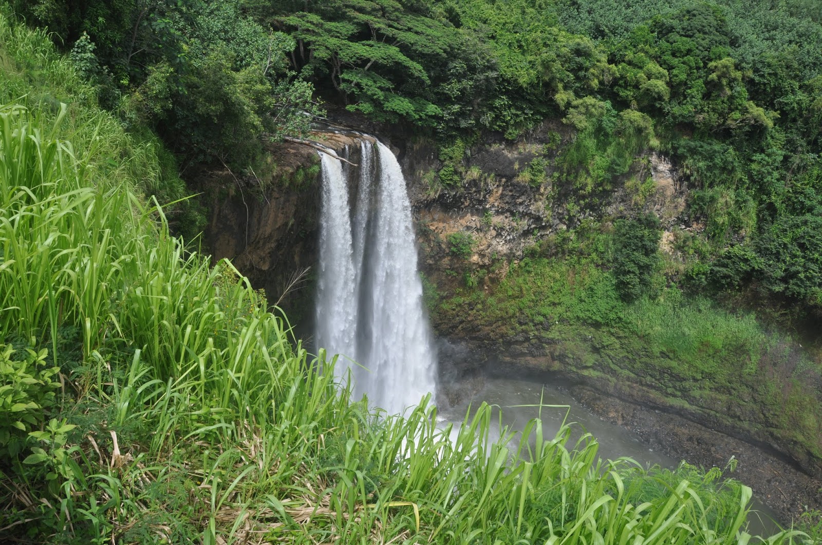
KAUAI
 |
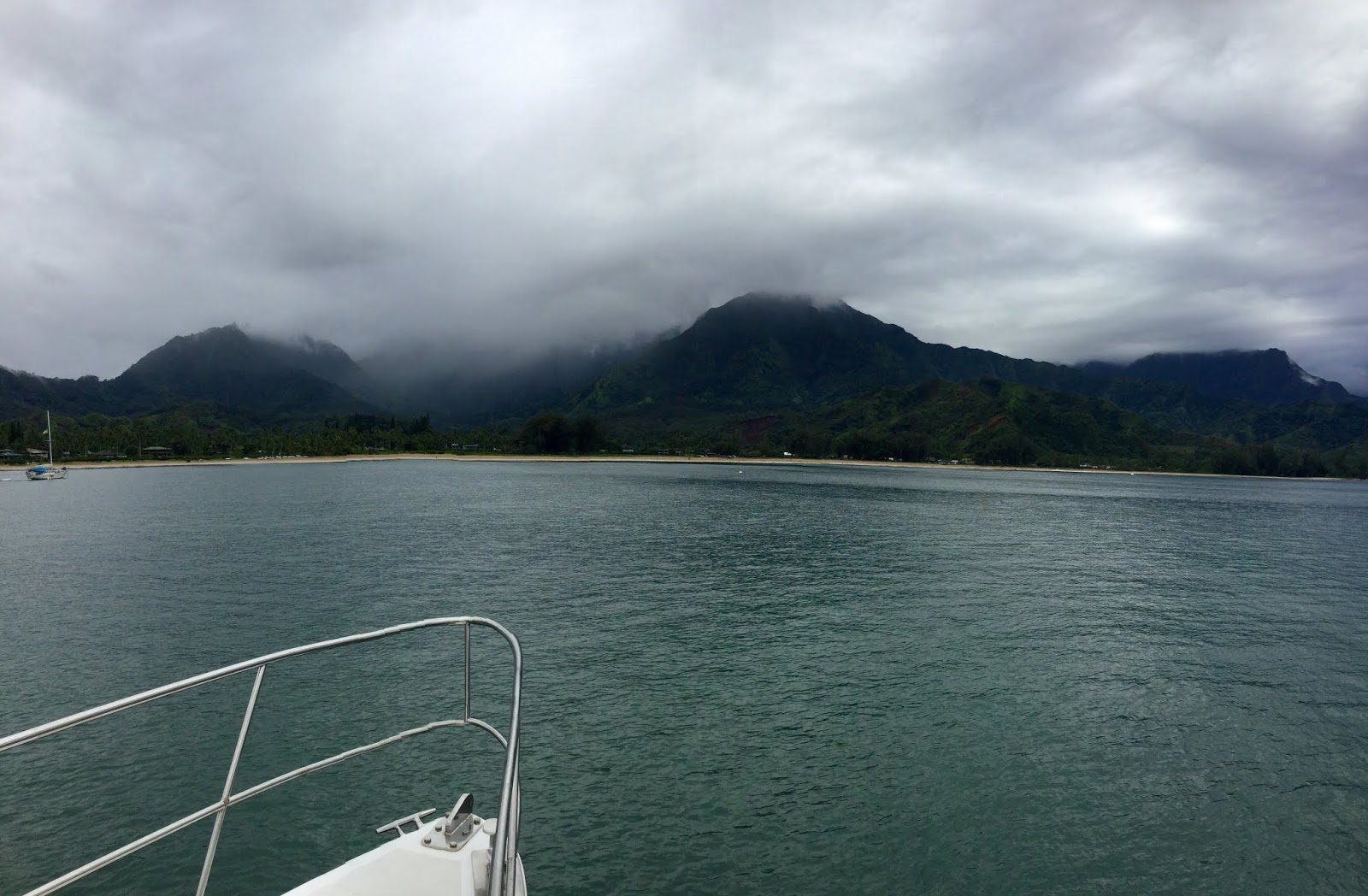
| Hanalei Bay, on a misty afternoon |
Hanalei Bay – 22*12.615N, 159*30*079W – They wrote songs about it! Hanalei Bay is one of the most picture-perfect bays in the world. This easy anchorage did not disappoint. But the shore access was difficult. Hurricane LANE had destroyed the wharf and swamped the beach. Landing the dinghy on the beach proved a challenge in the rolling swell, but well worth the effort.
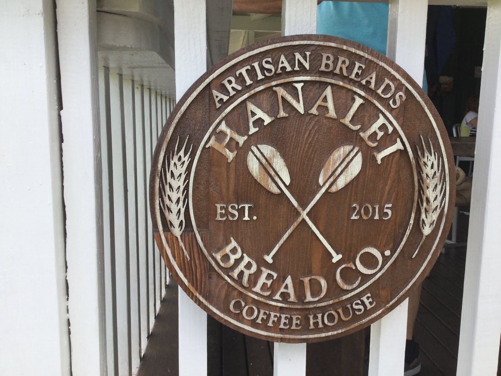
Hanalei is a lovely town that we enjoyed to the fullest, even if the $9 loaf of artisan French bread was a bit extravagant!
The Oceanic Arts store took our top mark, with its exquisite art creations from all over the Pacific Rim… the best, by far, a little museum of sorts! Not to be missed.
 |
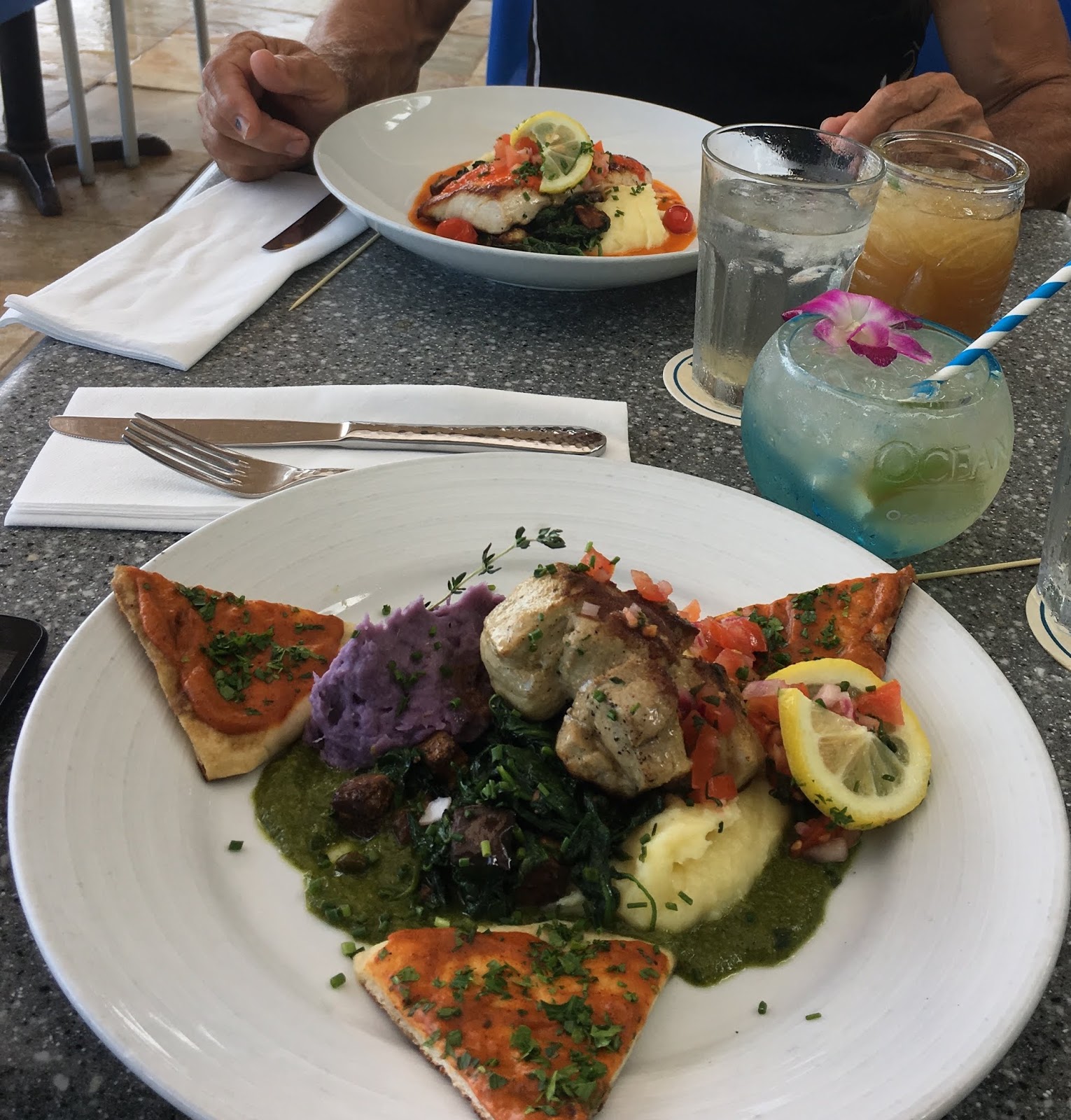
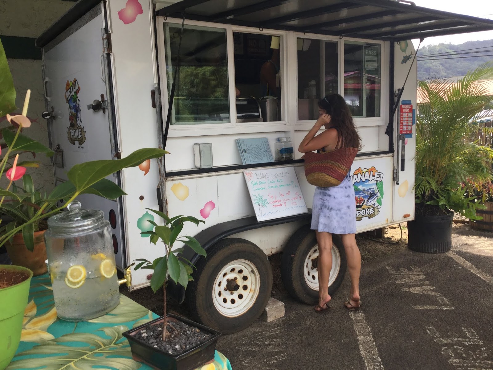
| The best Poke in town! |
What we missed, though, was a bike ride up the coast, since the road was still closed after last springs’ torrential rains. We just delighted in the views from the anchorage, short-lived as it turned out to be, since Hurricane WALAKA was coming our way!
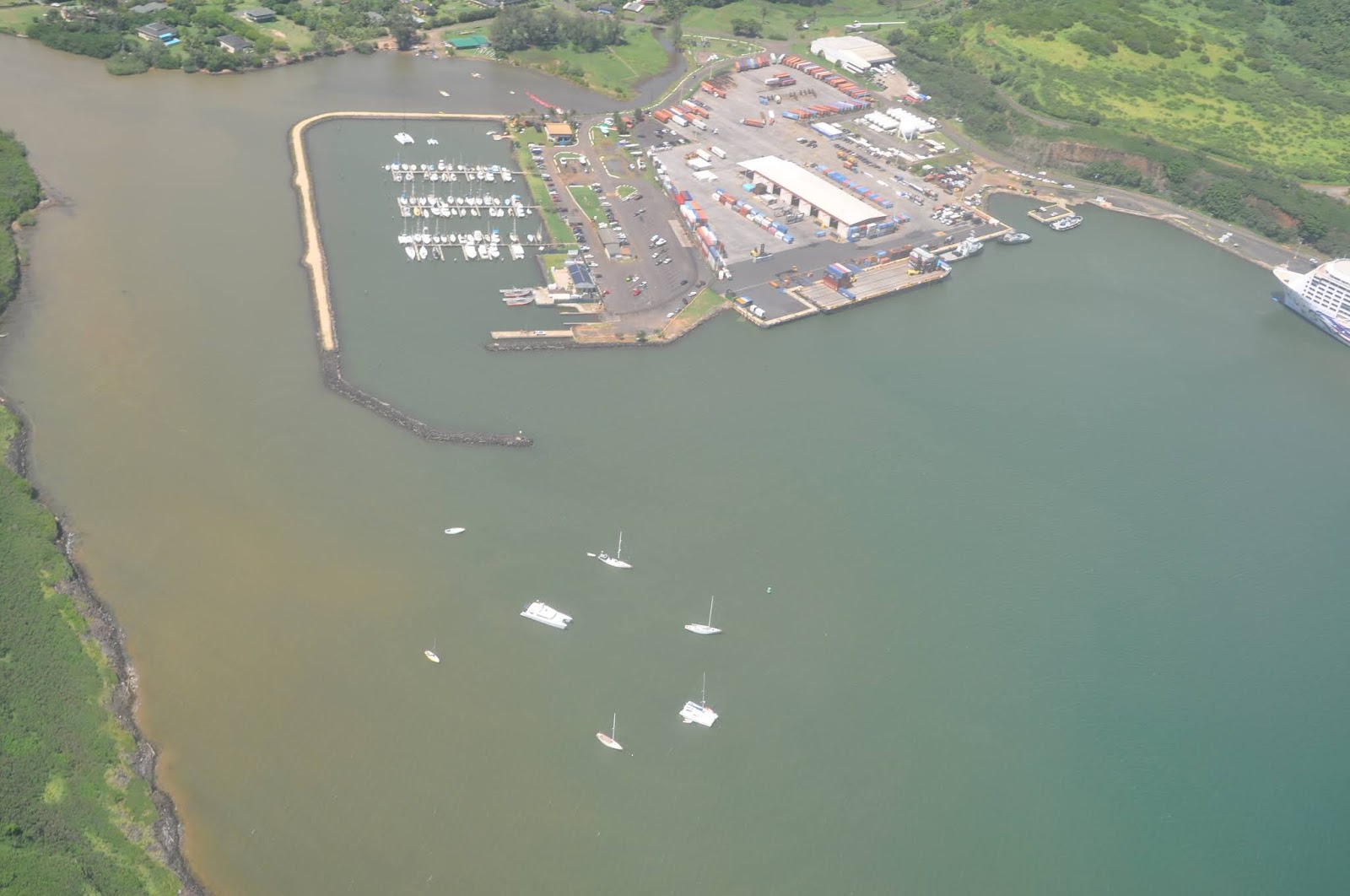
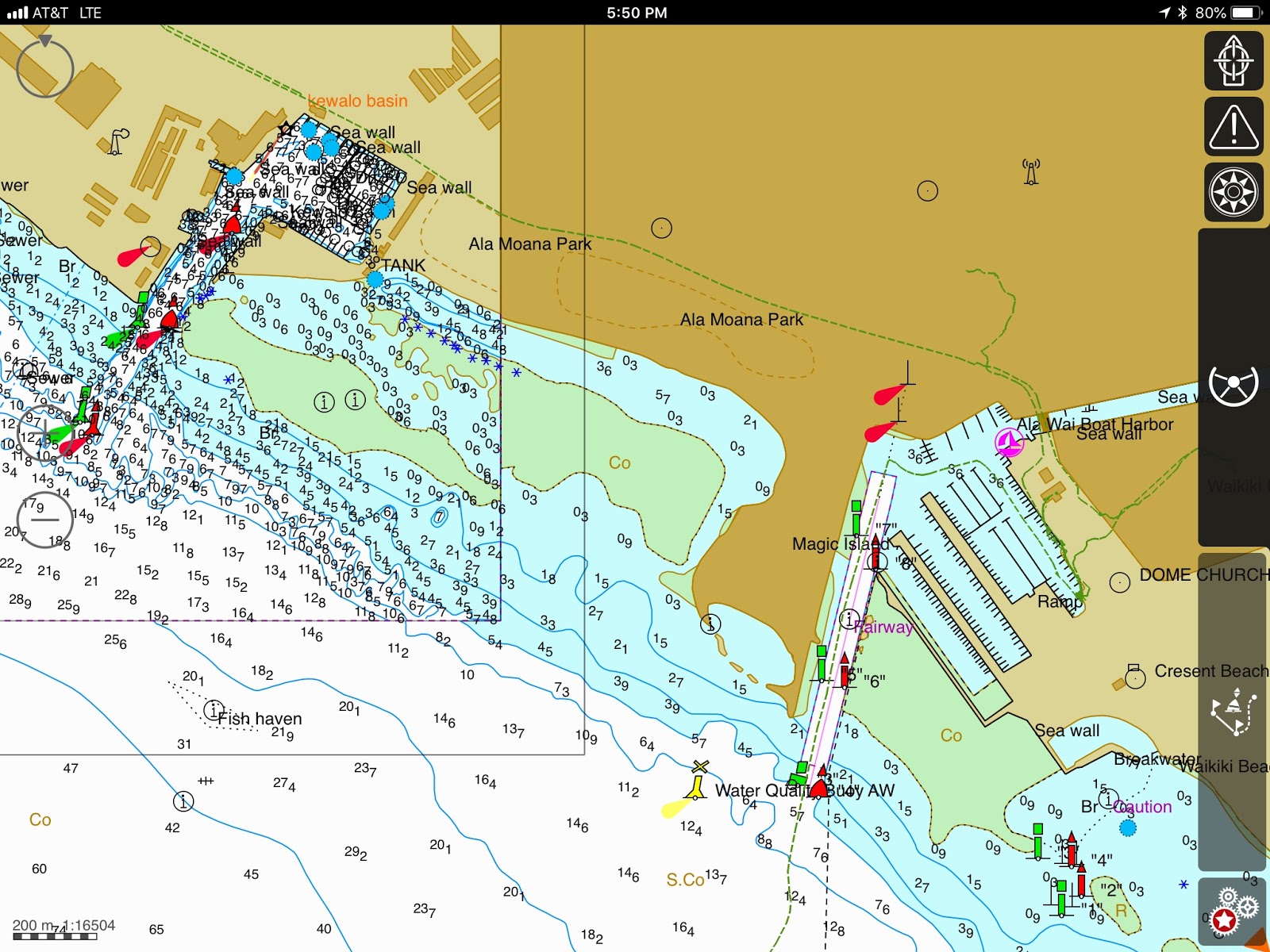
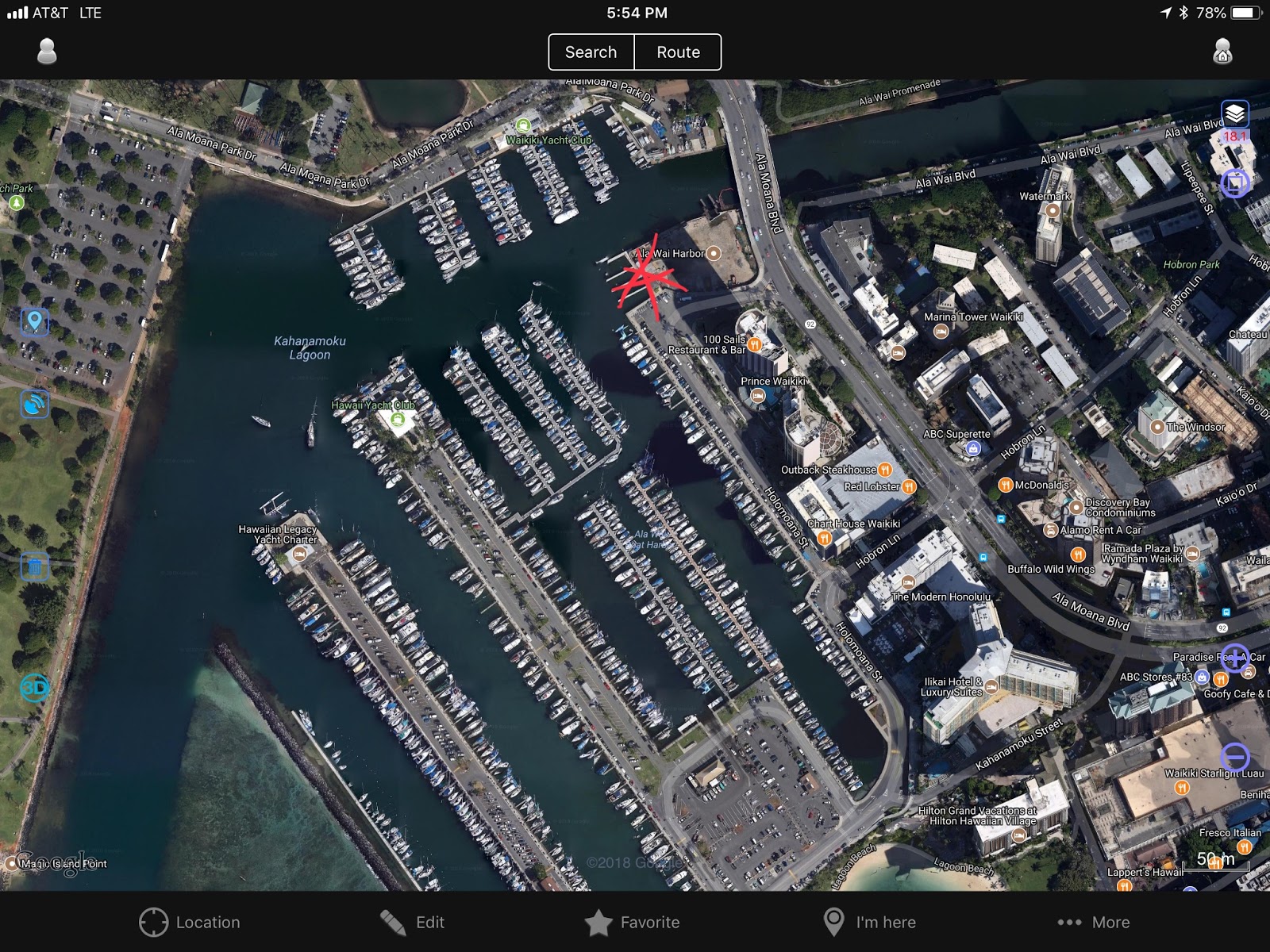
Nawilliwili Harbor – 21*56.960N, 159*21.341W – Now, THAT’s a protected harbor! We got there a few days before the storm, afraid there would not be any room. And it was a good idea! As always, the marina was full, derelict boats were taking 20% of the free anchorages, and the odd mooring ball available had no tackle.
But JP was patient and calculated his radius, dropping DOMINO in the center of all the boats, on a short scope with only 1.5m under the hull. Yep, we were fine there!
 |
| Smack-dab in the middle! |
Kauai will remain our favorite island. It was easy to rent a car and tour the island one day, then hop on a helicopter and see it all from above. Stunning! Well worth the money!
As Hurricane WALAKA was passing to the west, charter boats were limping into the harbor, seeking refuge at the commercial wharf. Soon our friend Kim on her BLAZE II limped in too, reporting 10’ swells at Port Allen overnight, her boat battered and in disarray.
We had dodged yet another one!
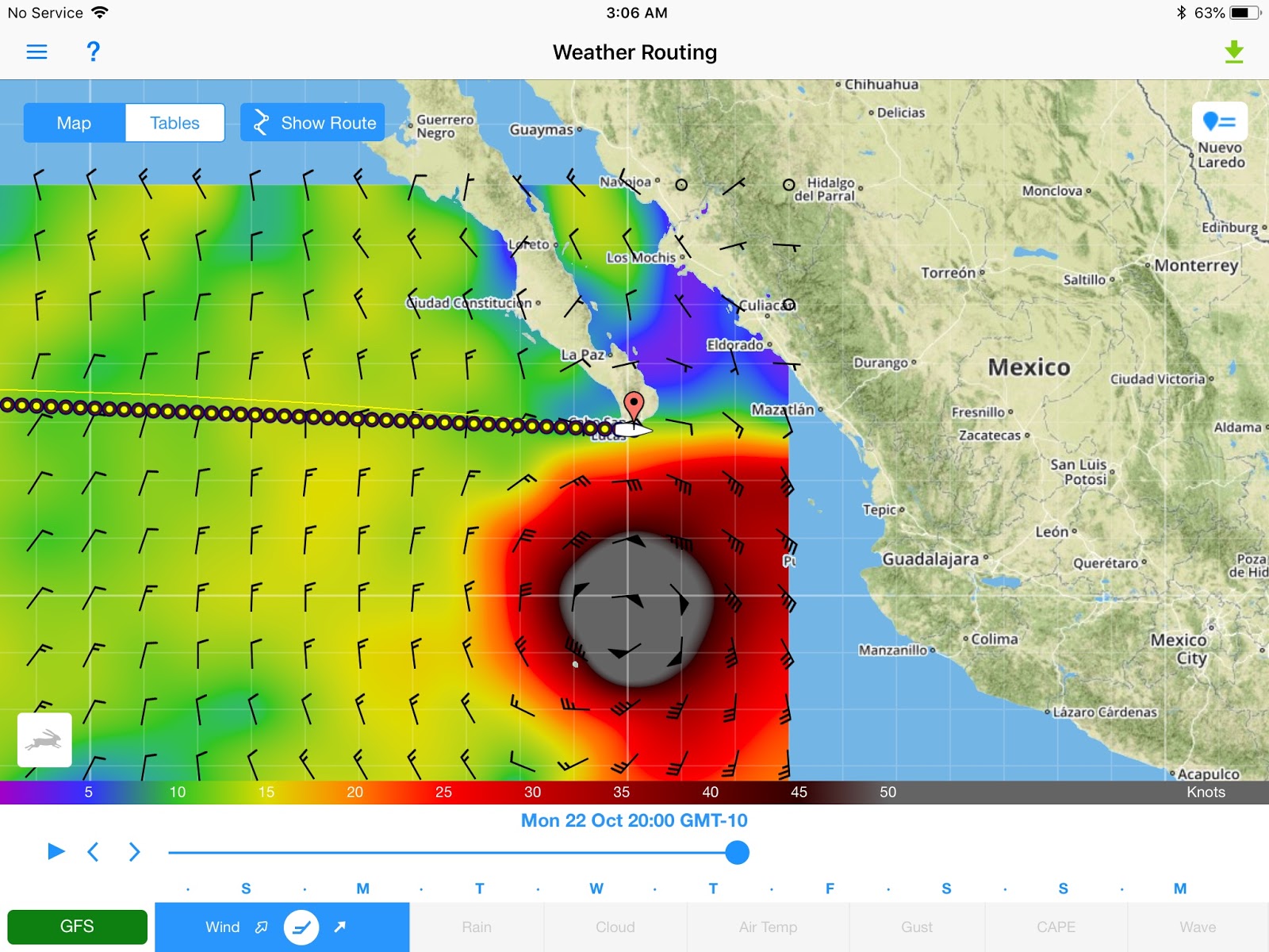
Well, it was still early October and we were waiting for a weather window for our departure for Mexico. By the 10th, it looked good, even though something was spinning off of Honduras.
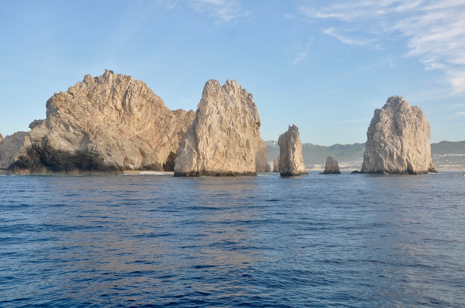
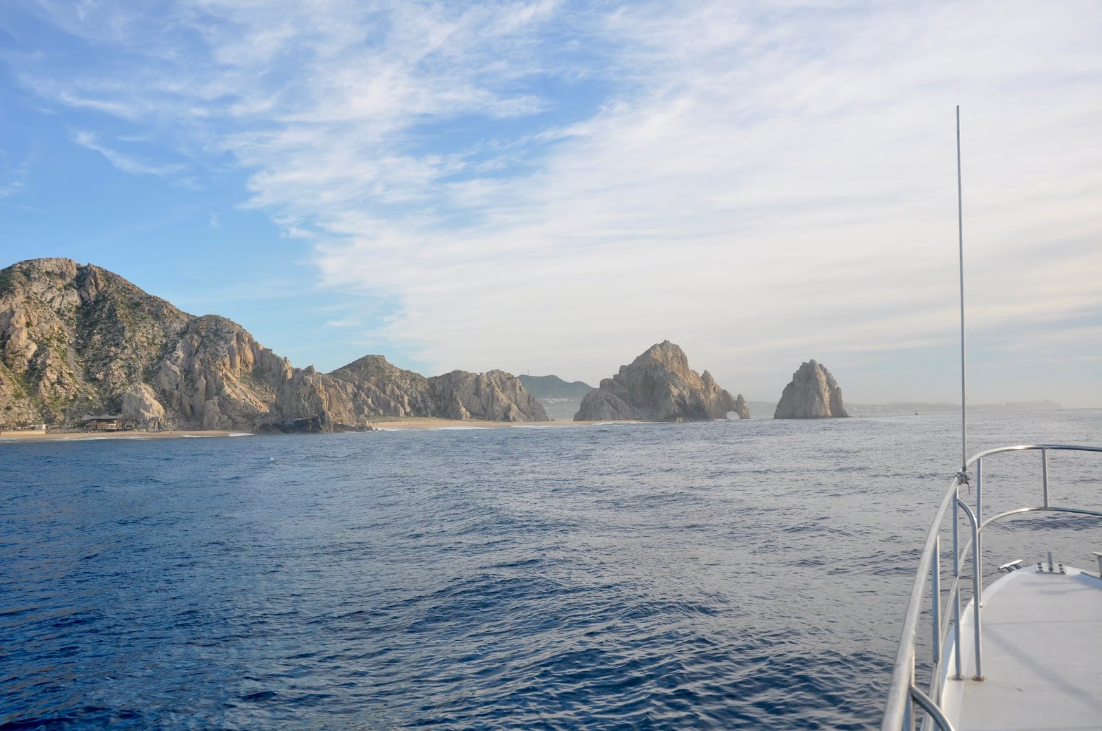
We fueled up, paying the $200 docking fee at the old fuel dock to have access to the fuel truck… and off we went, racing against the spinner coming towards Cabo San Lucas… yes, we were dodging WILLA too!
 |
| Saying goodbye to Kim, our sweet friend on BLAZE II |
Hawaii was a season to remember, for its ruggedness and its raw beauty!
 |
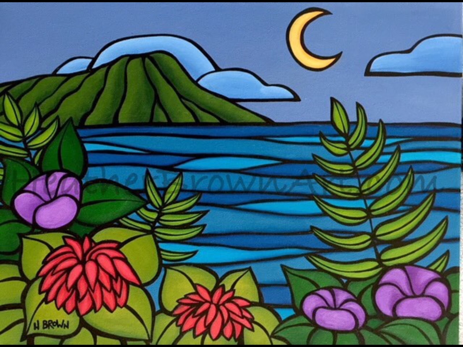
| Heather Brown Art… the essence of Hawaii |
till next time…
dominomarie
 |
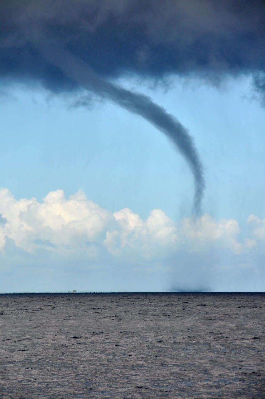
| LANE |