CRUISING IN THE TIME OF COVID-19
December 4, 2020 –
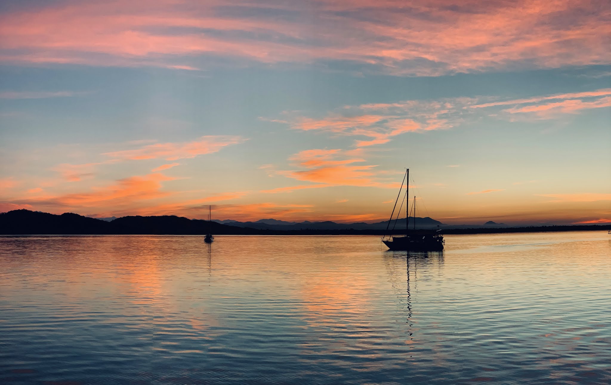
Sea of Cortez, Somewhere between La Paz and Puerto Vallarta
22*28’N , 108*25’W, Heading SE @12 Kts, Wind 12KT from NW, 3-5’ following seas,
Air Temp 23*C, Sea Temp 27*C
Has 2020 been a strange year? Wow! Understatement if any! What with the COVID-19 pandemic, the anarchist riots, the mask-a-raid of a presidential race, and an election process that would be a farce if it weren’t just so pathetic… add the profound changes that will impact the world for generations to come in the way we work, shop, travel, learn and socialize… the economic chaos, unemployment, national debt… and COVID-19.
I try to look for a silver lining: opportunities for on-line commerce, people cooking at home, perhaps trying to do more with less, the development of vaccines and treatments, the realization that personal responsibility goes a long way towards one’s physical and financial well-being… or am I a dreamer? What would John Lennon say?
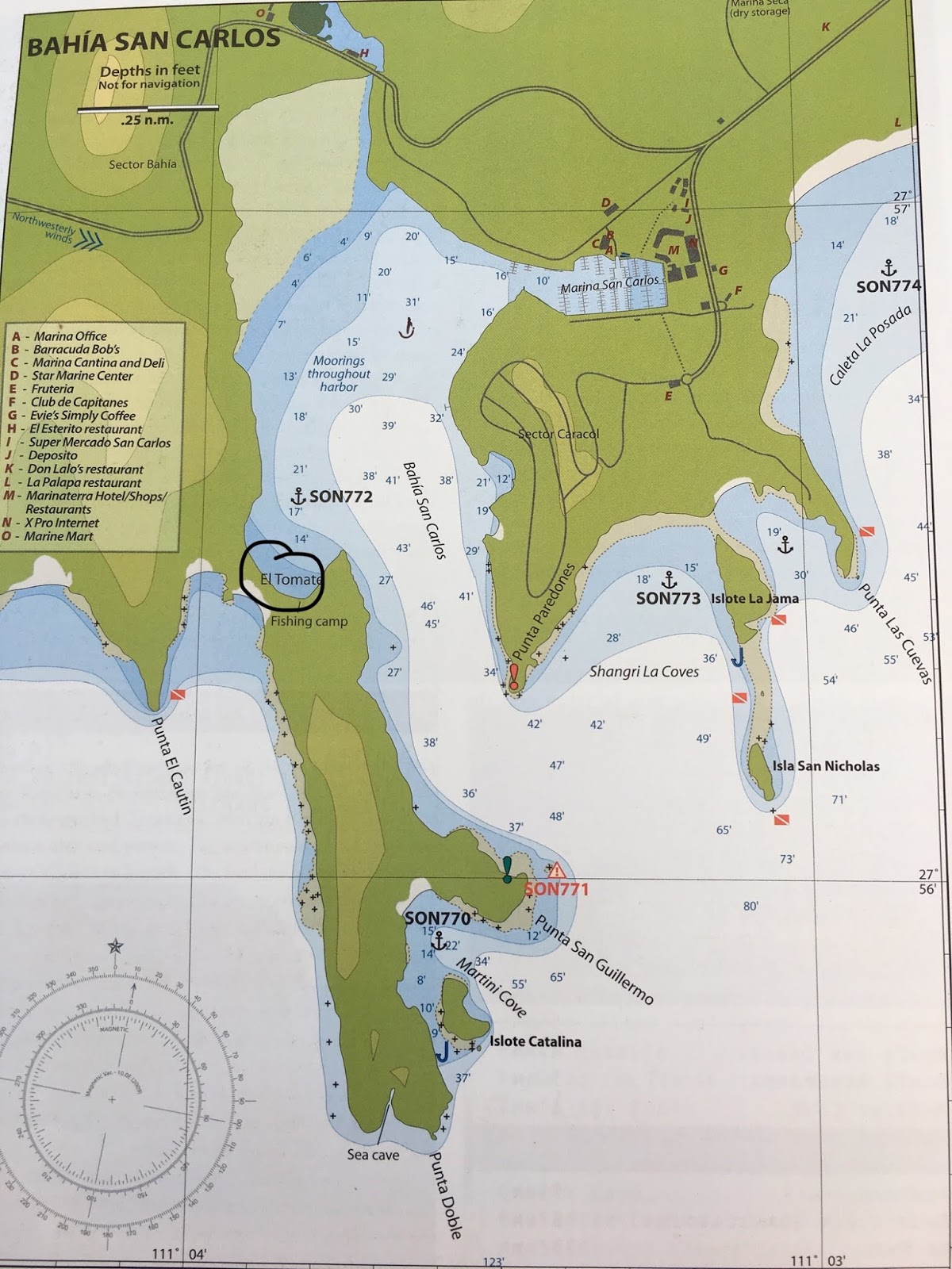
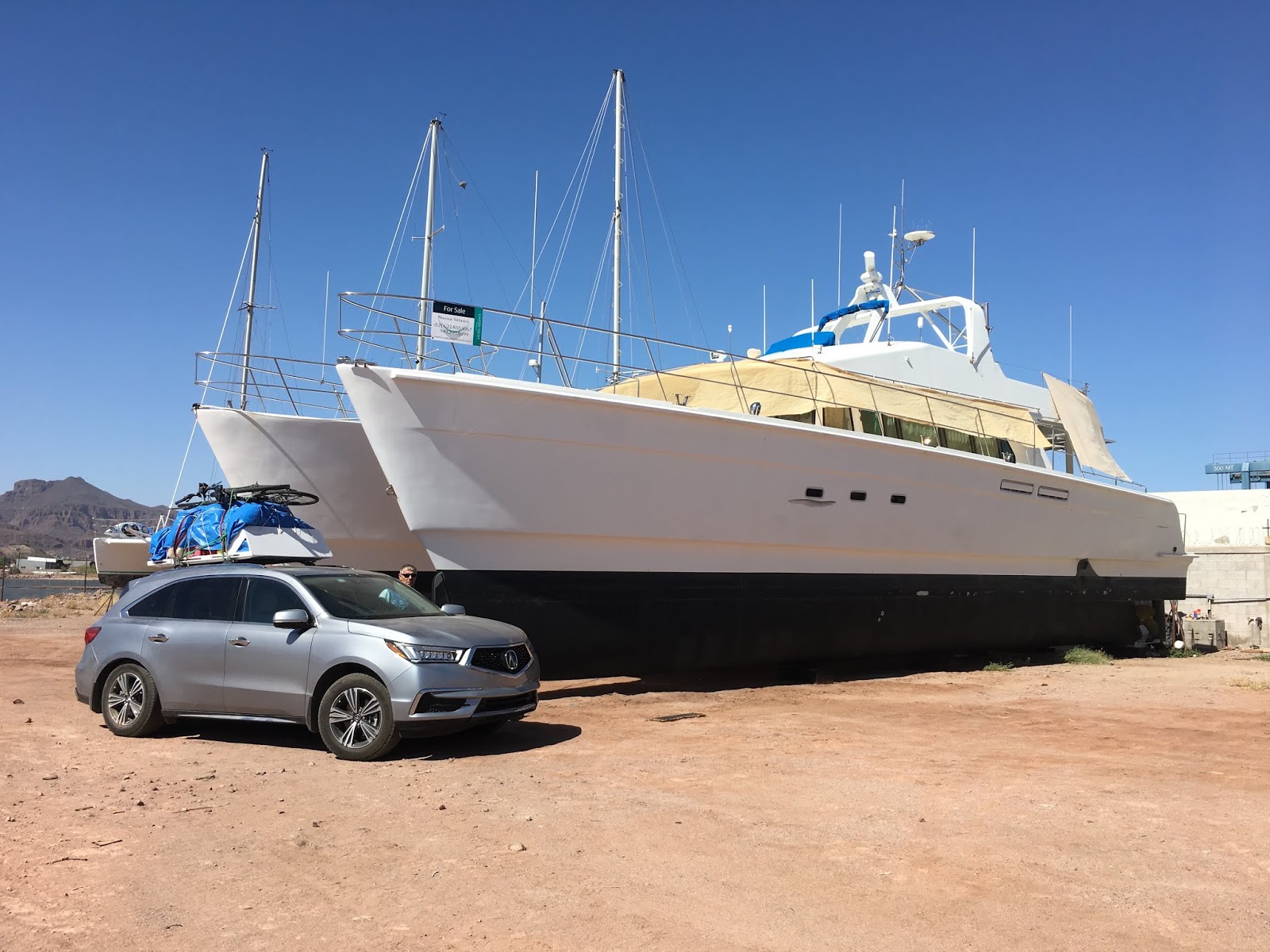
For DOMINO, it’s been a dry year. After cruising Mexico all of last winter, she spent the summer on the hard in Guaymas/San Carlos. We had priced her under $500K to make her more atractive to potential buyers… and she was. Our broker was lining them up to come down and see the boat in San Carlos. Half-a-dozen were even ready to buy her sight-unseen, from Australia to Singapore to Canada and California, she was the hottest yacht on the market. We rushed from our home in The Villages (FL) back down to San Carlos to meet and greet a dozen of apparently committed buyers, but when it came down to booking their flights, all twelve but one got cold feet… COVID Scare! Needless to say, DOMINO is still ours. There again, we are looking for a silver lining.
Nobody wants this extraordinary beast of travel? Well, fine! We’ll keep her. Needless to say, JP is extatic. So, with the greatest thanks to our United Yachts broker Marisa Velasco who has answered hundreds of emails and phone calls over the last 2 years, we are yanking DOMINO off the market, and taking her home to FLORIDA.
Did I mention this is a 4,000 NM trip that includes the crossing of the dreaded Gulf of Tehuantepec, transiting the Panama Canal, and cruising off the less-than-hospitable coasts of Nicaragua, Honduras, Guatemala and Belize? A tall order, but this is 2020, and in light of everything else going on in this mad world, being at sea may be the safest way to survive it all.
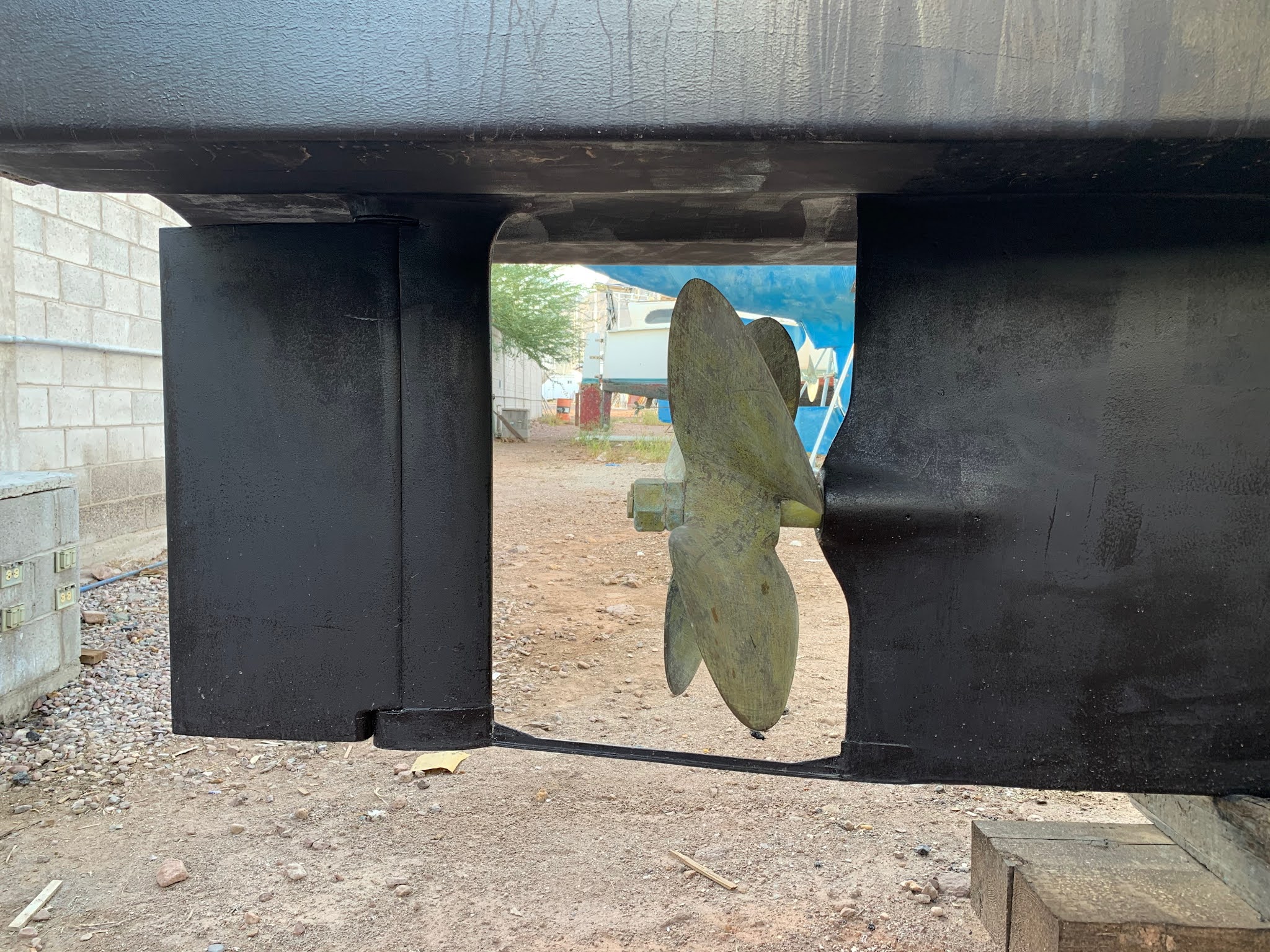
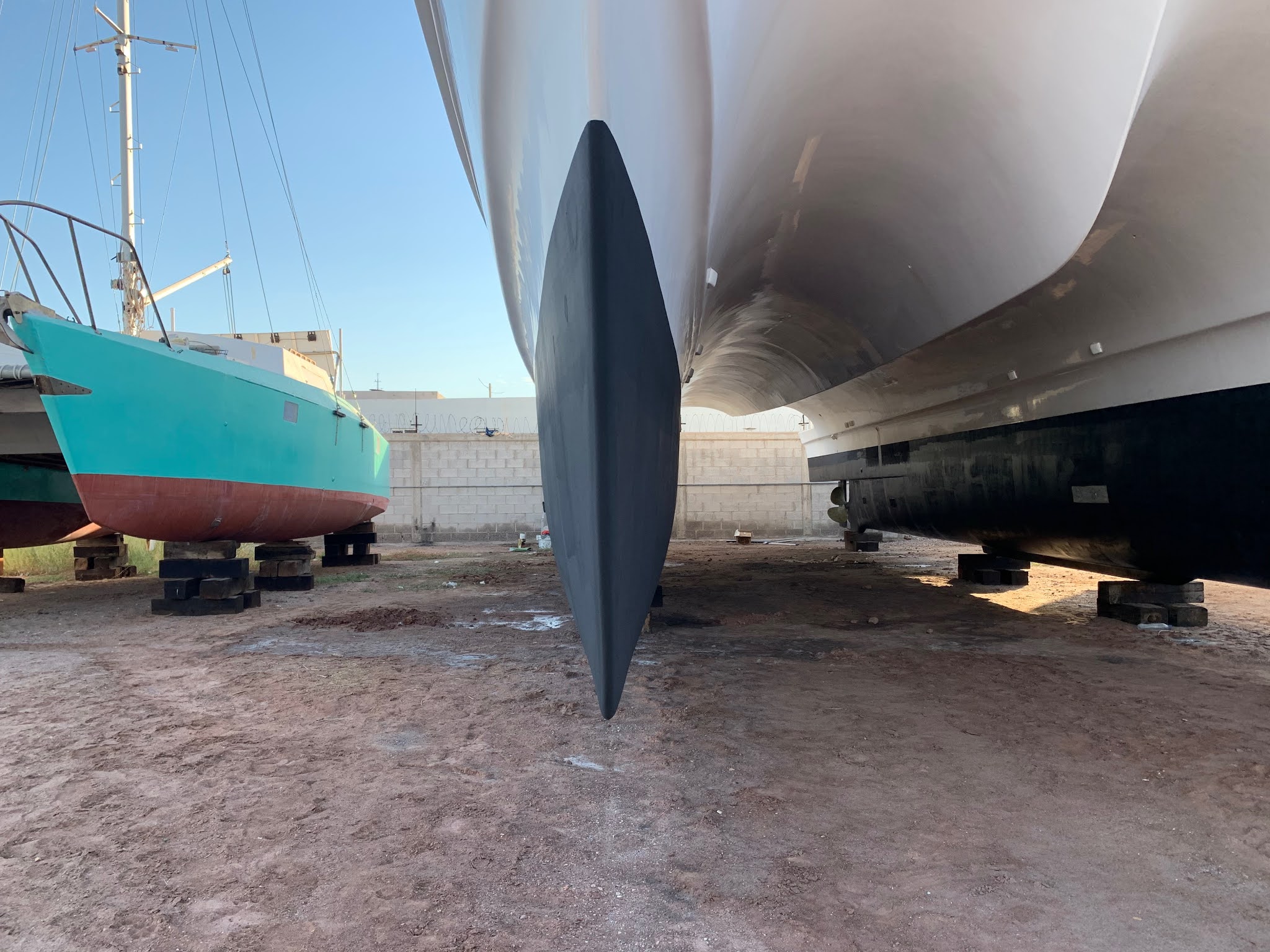
As usual, JP got meticulous with maintenance.
- Replacing the shaft seal on port (and threading 2 more for future use) completes the work started last year on starboard. Shaft seals are good for another 10 years;
- HRO watermaker membranes: after 11 years of heavy use (we delivered 5,000 liters/day in post-Winston Fiji), they are now replaced with new ones, and making 60 gal/hr is pretty cool;
- Big Bertha’s windlass seviced and running smooth;
- Oil change, of course, and new oil filters and impellers, clean air filters;
- Fridge and freezer inspected and re-loaded;
- And the John Deere 6081 AFM engines tested, re-tested, inspected…. JP is soooo compulsive about his engines (understandably so, they are our lifelines) that the thought of anything that could go wrong keeps him awake at night. Fortunately, he has kept in contact through the years with Reuben, the Panama John Deere technical chief who saved us in the San Blas all those years ago. Now in charge of technical training for JD Latin America’s dealers, Reuben is still just an email away from JP, advising him on assessing his engines and assuaging his fears. We do love our John Deere team, world-wide.
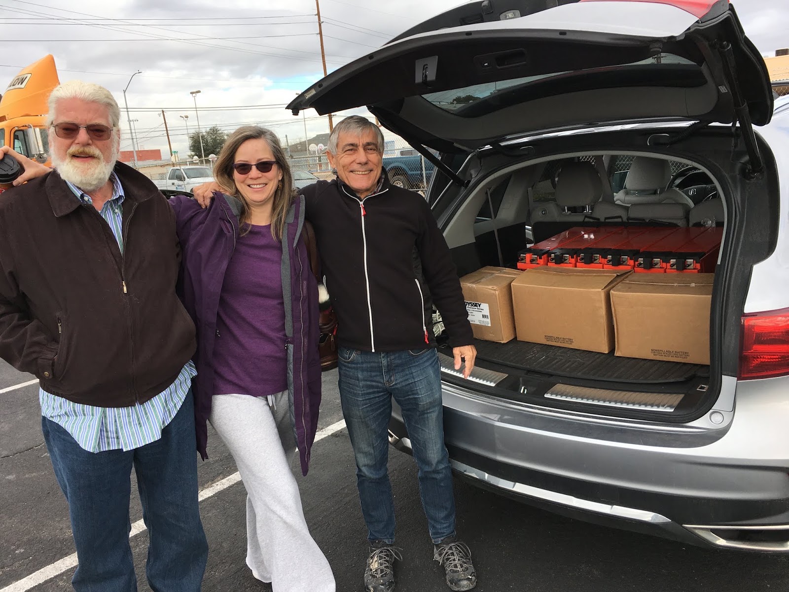
And here we are, on the first part of our long journey home. But not without a shout-out to the San Carlos Pickleball Association. We played every morning, made new friends, and JP even played his first tournament while I made a quick run to Tucson to winterize the Acura in her long-term storage place.
Leg 1- San Carlos to San Juanico (Baja Peninsula) –
The trip from San Carlos to San Juanico involves crossing the Gulf of California (AKA Sea of Cortez) on a 98 NM, WSW line. In any northerly condition, a train of short, steep, sloppy beam seas can rock your boat with an uncomfortable to downright dangerous sway. But JP had picked a calm day, left before sunrise —when the wind is down and seas are calmest— and we only encountered a small, short chop as the wind picked up in the afternoon. Eight hours later, we had dropped anchor in this idyllic spot (average speed 12.2 Kts.)
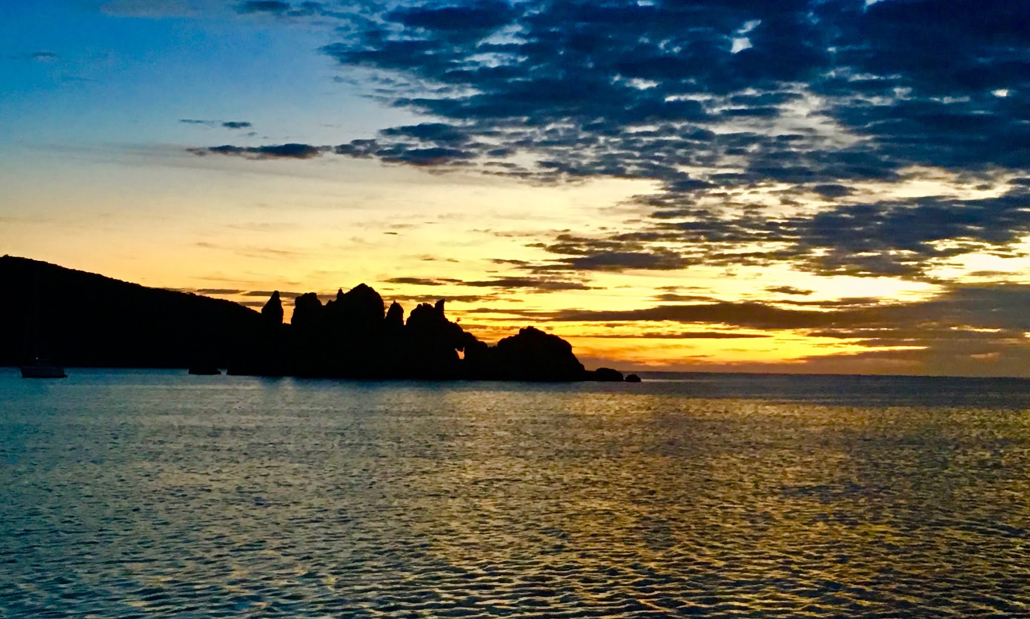
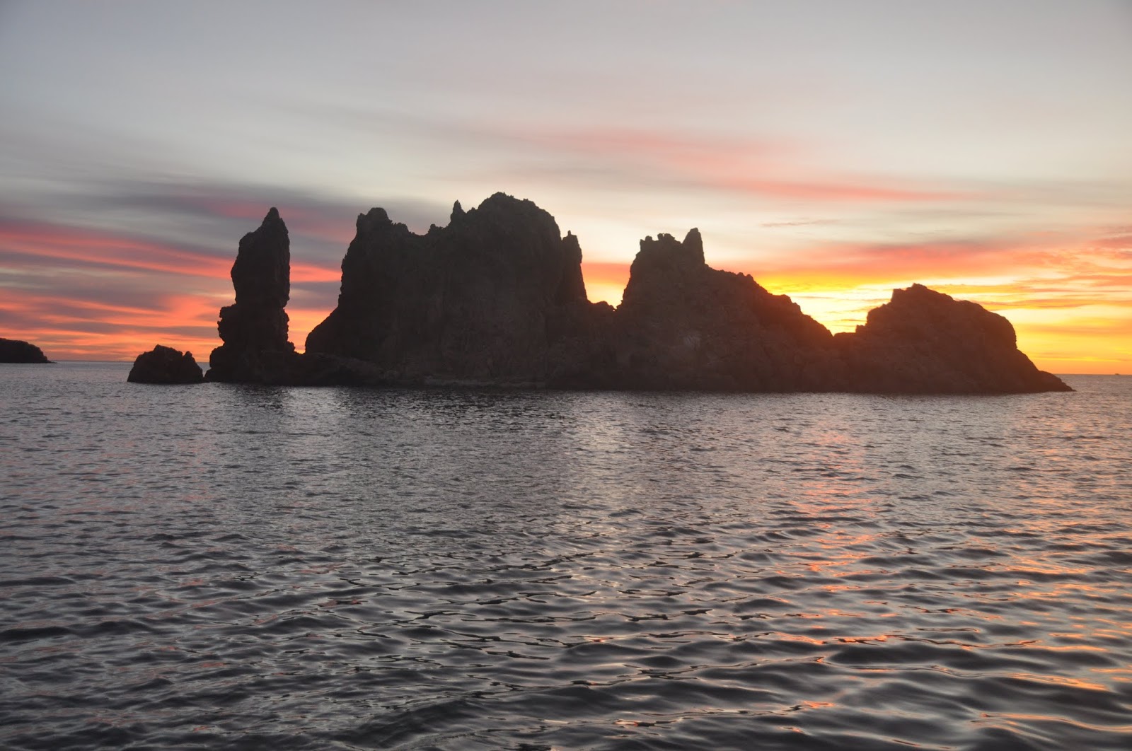
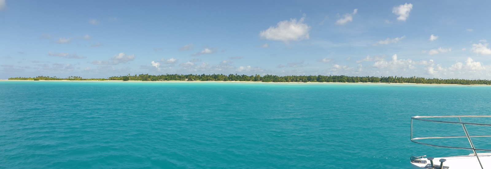
San Juanico (Punta San Basilio) is one of our favorite anchorage for the massive rock and pinnacles, a dream at sunset and when the moon shines on the rocks!
Leg 2 – San Juanico to Timbabiche – Little by little, the wind is ramping up, now in the 15-20 range. The anchorage in Timbabiche is wide but shallow, with little protection from the North… and a rolly night it was; we hightailed it out of there at dawn, expecting yet higher winds for the next 3 days, looking for one of the few shelters: Isla Espiritu Santo, 25 NM East of La Paz.
 |
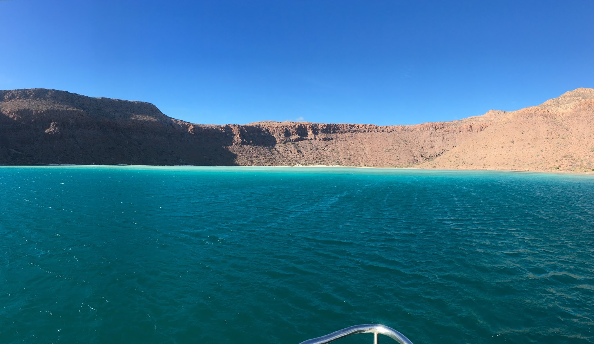
| The crater-anchorage of Caleta Partida |
Leg 3 – Timbabiche to Caleta Partida – Oh yes, the wind is up, in the high 20’s an we made it to the ancient crater of Caleta Partida (Split Bay.) It is a gorgeous site, a crescent-shaped sand beach fringed by turquoise waters, a circular bay broken only by the deep entrance to the west and the shallow isthmus to the east. The holding can be variable. On our first try, the soft sand did not offer much hold: up-anchor and find another spot. There, after JP pulled hard on the anchor in several directions, I wasnt satisfied until I actually dove the anchor and made sure that Big Bertha was up to her neck in sand. Warmer waters (26*C) lured us for a quick swim but the wind chilled us too quickly to want to repeat… we must be getting soft!


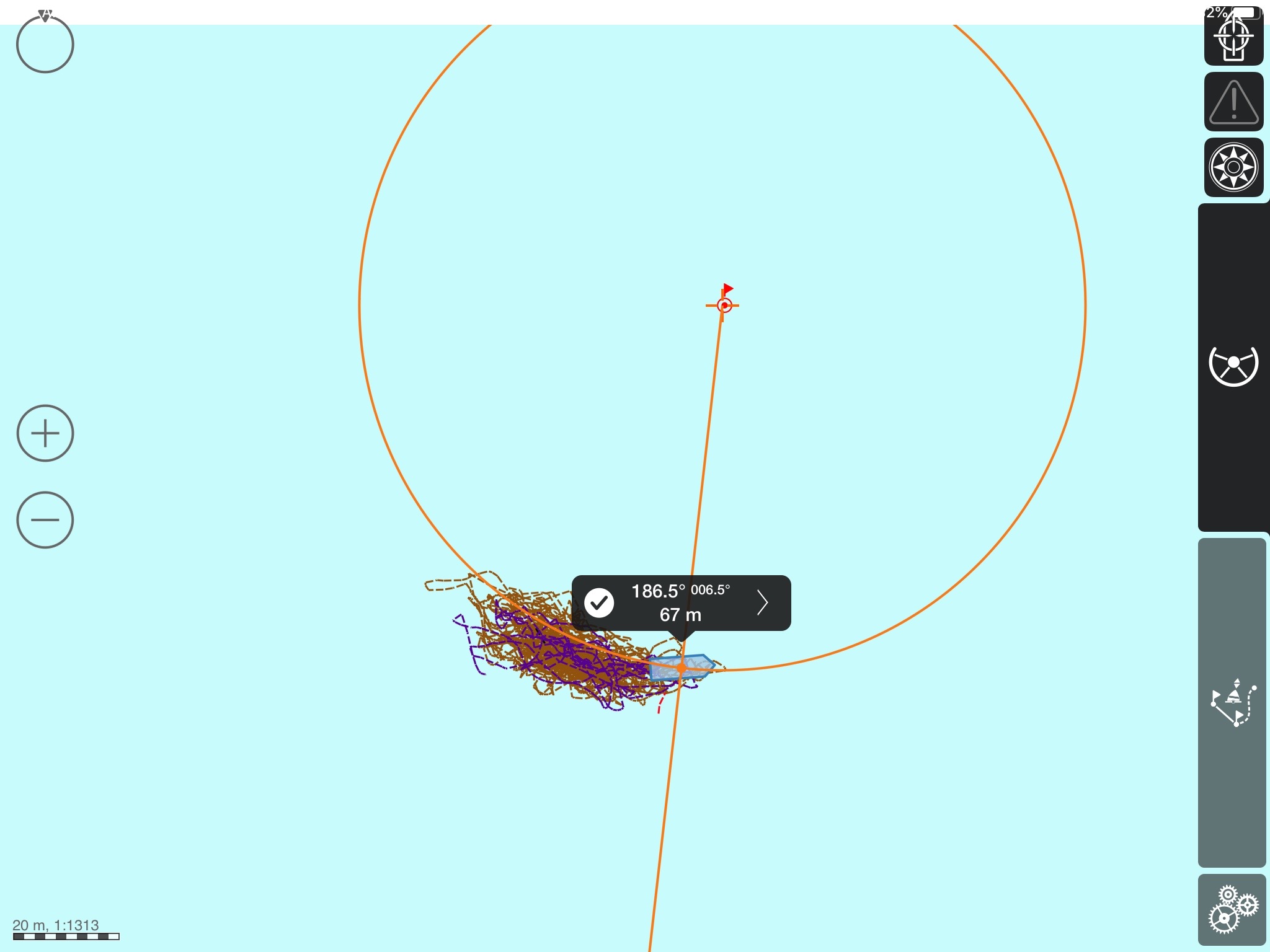
On windy days, I’m responsible for anchor watch, which means I don’t sleep much. JP just installed the “Anchor Alarm” app on his iPhone which is more accurate and uses less power than our on-board electonics. I use iSailor on my iPad. But how do we know where the anchor is? Most anchor alarm systems calculate the swinging radius from the current boat position, not from the anchor position. SO, you have to enter the anchor’s position into the app, right? When I drop anchor from the bow, as soon as there is tension on the chain and the anchor starts to bite, I hand-signal JP who JP double-taps a MOB point on the TZT screen, registering in the spot. That is the position we log into the ship’s log and use for anchor watch. Yes, should you ask, I sleep much better now, even if gusts at 35Kts rattle me some!
Leg 4 – Caleta Partida to La Paz
Monday morning, we must make it to our our appointment with the HRO guys in La Paz, 25 NM away. The Port Captain has closed the port due to high seas, except for boats coming from Isla Espiritu Santo, lucky us!
Marina de La Paz is a favorite of ours: conveniently located downtown, with all sevices available and a very helpful staff. Fortunately, we scored a dock for 2 days and made fast work of getting 2 new membranes for the watermaker.
COVID Safety! As we had noticed in Guaymas and San Carlos, everyone here wears a mask. It’s mandatory everywhere, even on the boardwalk. The stores limit the number of clients inside, one person per family; every shopper gets a temperature check before entering and goes through a decontamination process: shoes are sanitized, hands are sprayed, carts are bleached, no drinking allowed into the stores (leave your cup of Joe outisde!) Everybody complies, nobody complains. The radio airs public safety messages on an hourly basis. Kudos to the Mexicans for their restraint and responsible behaviors!
For the last 3 days, all ports have been closed due to bad seas, from La Paz to Cabo to Mazatlan: No crossing. We know the window to cross the Gulf back to the mainland side is going to be short and we’ll have to jump as quickly as possibel; which means, no slowing down to fish underway. JP, always planning ahead, took matter into his own hands this morning. At sunrise, he grabbed a Hawaiian sling and an old towel and walked to the end of the dock, laid the towel to the edge and laid in wait, sling in hand. What was my man up to? A few minutes later, he re-appeared, a Jurel (Crevalle Jack) dangling from the end of his spear. My little Tarzan!
Leg 5 – La Paz to Bahia Los Muertos –
The Port Captain has re-opened the ports. Looks like the ferries continually plying the waters from Mazatlan to Cabo are deeming the oft-wretched crossing safe for small boats. At slack tide (oh, you don’t want to get out of that marina with any kind of current!) we rallied the masked troops on the dock to help us push off in 15-17Kts cross winds. Easy-peasy for JP and DOMINO’s 600 HP. In two shakes of a lamb’s tail JP had backed us out of the marina, turned around, and headed down the La Paz channel to sea.
Easy, down the coast run, in 20-25 kts, following seas, and we dropped anchor in the sandy bottom of Bahia de los Muertos. For the first time, we caught phone signal and internet in the bay: progress. Yes, there is a bar on the beach, just next to the boat ramp… if you like that kind of things…
Leg 6 – Los Muertos to Bahia Los Frailes – Yet another breezy day, cruising at our usual 12 knots, downwind and following seas… watching sailboats slogging it out in choppy conditions.
Los Frailes has grown. What used to be a deserted beach is now a full-grown fishermans camp, with lean-to’s and cabanas paired with a panga each. We expected a calm afternoon, but the wind decided to funnell through the anchorage and ramp-up in the 25-30 range. Gosh, we’re getting lazy. Instead of launching the dinghy and going snorkeling, I just sat there and huddled with a good book (Caffeine and Nicotine by Eric Weule, on Kindle and paperback: oh, so good!) and watched JP double-check and triple-check his engines and systems.
This said, I had the worst scare dropping anchor. Folks! Never, never call a skipper on VHF while he is dropping anchor.
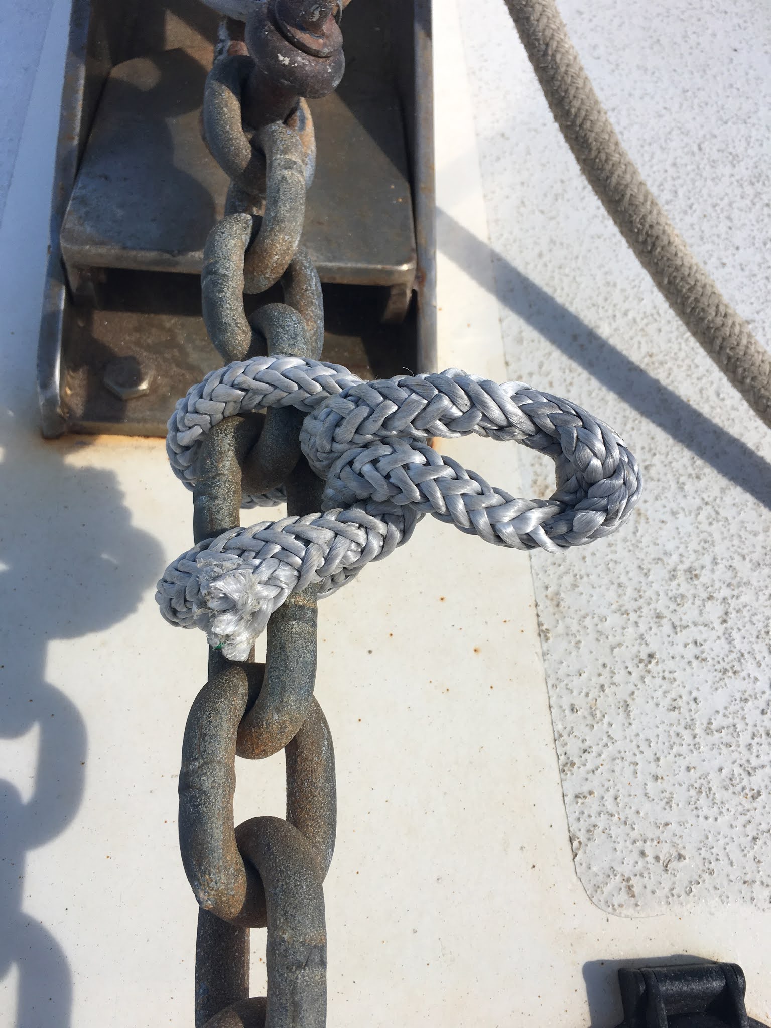
My viewpoint: standing on deck in 25kts of wind, the anchor has dropped, bitten, I have 55 meters of chain out, JP signals to attach the bridle. I have the soft shackle almost looped around the chain, my fingers ready to clip on the bridle’s shackle when suddenly the chain tenses up to the horizontal, pulls on the windlass (which JP always keeps soft enough to not seize up) and the chains unrolls, taking with it the soft shackle and within half-a-second of crushing my fingers into the bow roller. WTF????
 |
| Looping te soft shackle |
JP’s view point;
* Where to drop? Pick a spot: astern of this sloop, I can drop 60 meters back and still be abreast of that ketch on port, at least 3 boat lengths away: good.
* How much chain? Check the depth under the boat, add 7 meters, multiply by 2: minimum scope to attach the bridle. But add 15-20 meter depending on wind, tide, and other conditions. OK, 55 meters should do it here.
* The anchor chain counter confirms Marie’s hand signal that the anchor just touched bottom. I start backing up slowly, double-tap the TZT to record MOB anchor position, while Marie lets the chain unroll. At 55 meters, I stop the boat, and signal to hook the bridle.
 |
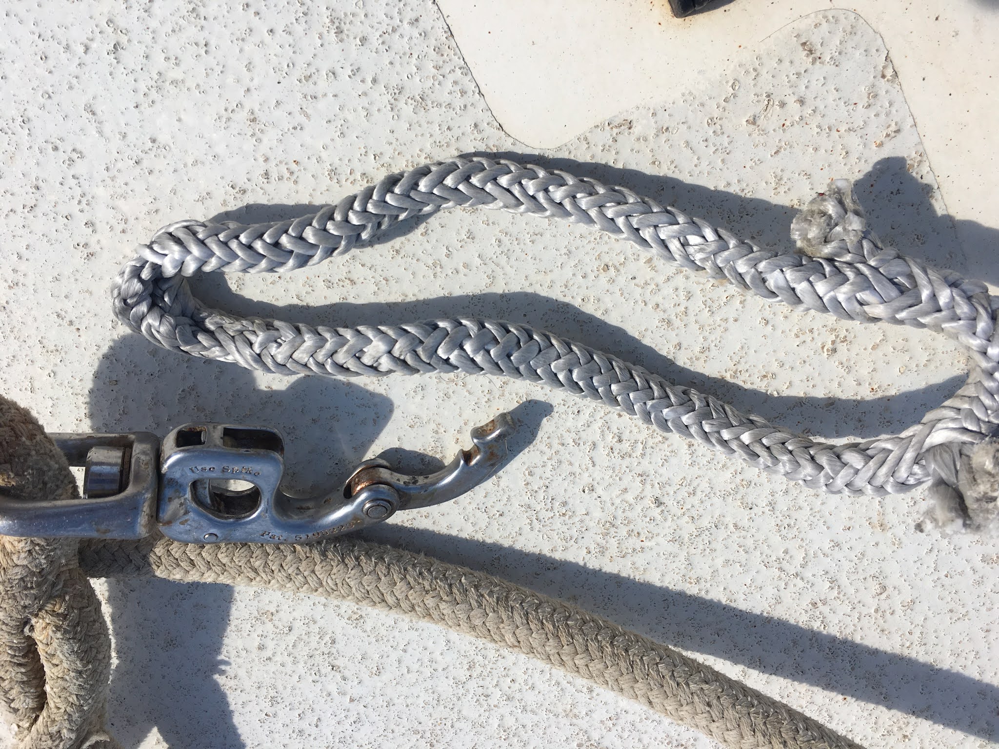
| Clipping the bridle shackle |
* The VHF screams: “DOMINO, DOMINO< this is X$%@ on your port side.” I Grab the VHF, try to respond, forget to ease the boat forward to prevent tension in this freaky 25 Knt headwind, and… Oh Shit!…. The chain unrolls, the bridle’s soft shackle is overboard and Marie is livid!
Teamwork: JP eases up the boat upwind, runs downstarboard to his workshop to grab a spare soft shackle (he knew where it was!) which Marie grabs through the port sliding door. She runs to the bow and quickly loops the soft shackle around the chain, deftly clips the bridle’s hard shackle into the loop, lets go of another 10 meters of chain, and they finish the anchoring maneuver. Crisis averted, Marie still have all her fingers!
Lesson:
1) Skippers, never call a boat while the crew is dropping or retreiveing anchor, especially in high winds.
2) Skippers, if somebody calls you on the VHF in the middle of a maneuver, ignore them! Your crew’s safety depends on your ability to focus on the task.
 |
| The bridle rig |
The wind blew hard all day and till midnight. The ketch on port side who had called on the VHF to complain about our position, finally realized that we had plenty of room. After 1,000+ anchorages, I trust JP to make the right call.
By 4AM, we were awaken by the calm. Time do download the latest OFFSHORE weather GRIB using our IRIDIUM-GO (Satphone Store, thanks for setting us up so quickly!) – OH< looks like we can make the crossing if we hurry up! 0408 – We are off!
 |
| The Pinnacles at San Juanico |
Leg 7 – Los Frailes to Bahia Chamela (Mainland Mexico) –
338NM in 30.5 hrs, average 11 Kts.
And so we jumped, expecting 15-20 Kts on our port quarter and 4-6’ following seas, and that’s exactly what we got in the first 2 hours, with gusts up to 22 Kts. Then, as we got away from the Baja Peninsula and the seas opened up, the wind decreased to 12-15 and the following seas to 2-4’: a beautiful day and moonlit night at sea! At dawn, closing in on Cabo Corrientes (just south of Puerto Vallarta), the wind picked up again and the seas became sloppy, as it often is around a cape, but this was short-lived and soon we were on the lee of the mainland, cruising on flat seas, fair winds, and sunny morning: Perfect! Air temperature of 26.7C, sea temperature of 28.3C, what else can you ask for? Well, a fish would have been nice, but fish we didn’t.
Bahia Chamela is one of those wide sandy bays and dropping the hook is a breeze. On shore, many palapa restaurants dot the beach and we are treated to Mexican folkloric music every afternoon, tuba and all!
The bay is home to many rocky islands that we might snorkel or not, weary of the dozens of tourists shuttled back and forth by the local snorkeling operators… a bit too touristy for us. Besides, with 100% cloud cover for the next 2 days, it is unlikely that the underwater realm will show any of its colors.
So, what do we do? We prepare for our fishing trip, tomorrow or as soon as the sun re-appears. Sailfish is running 20 miles out and JP is determined to give it a shot! In preparation, he is setting up his live-bait fishing hooks and lines. Very studious! What about live bait? While we toiled with the “Mitraillette” all morning trying to snag bait running under the boat (without success), we hailed a local panga passing by and asked for bait. Within seconds, the 3 guys were tossing their “mitrailletes” overboard and pulling bait by the dozen! And hop! Into our bait tank! Got that covered!
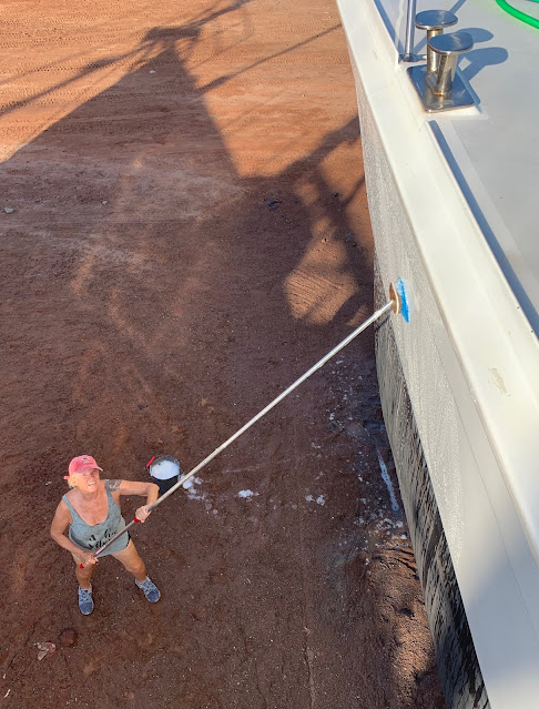
What is there to do? Finish to rinse off the windows and railings and decks of all salt accumulated during the crossing, going for a quick swim around the boat, and reading and cooking, watching the clouds do their thing while the waves rhythmically crash on the beach (Oh, not very many places to land on this surf beach, but they are building a boardwalk and landing dock!) Farniente at its best today!!!
till next time
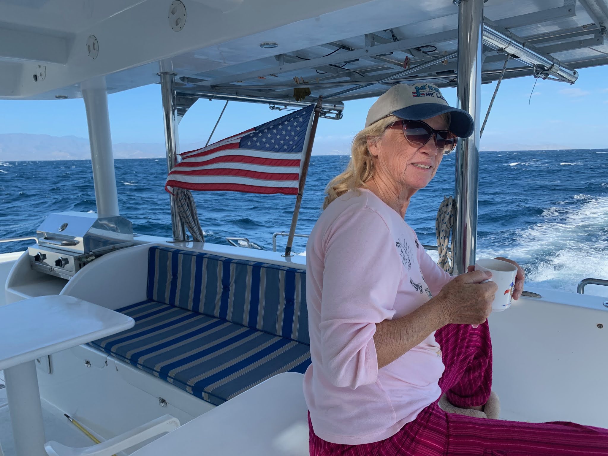
DOMINOMARIE
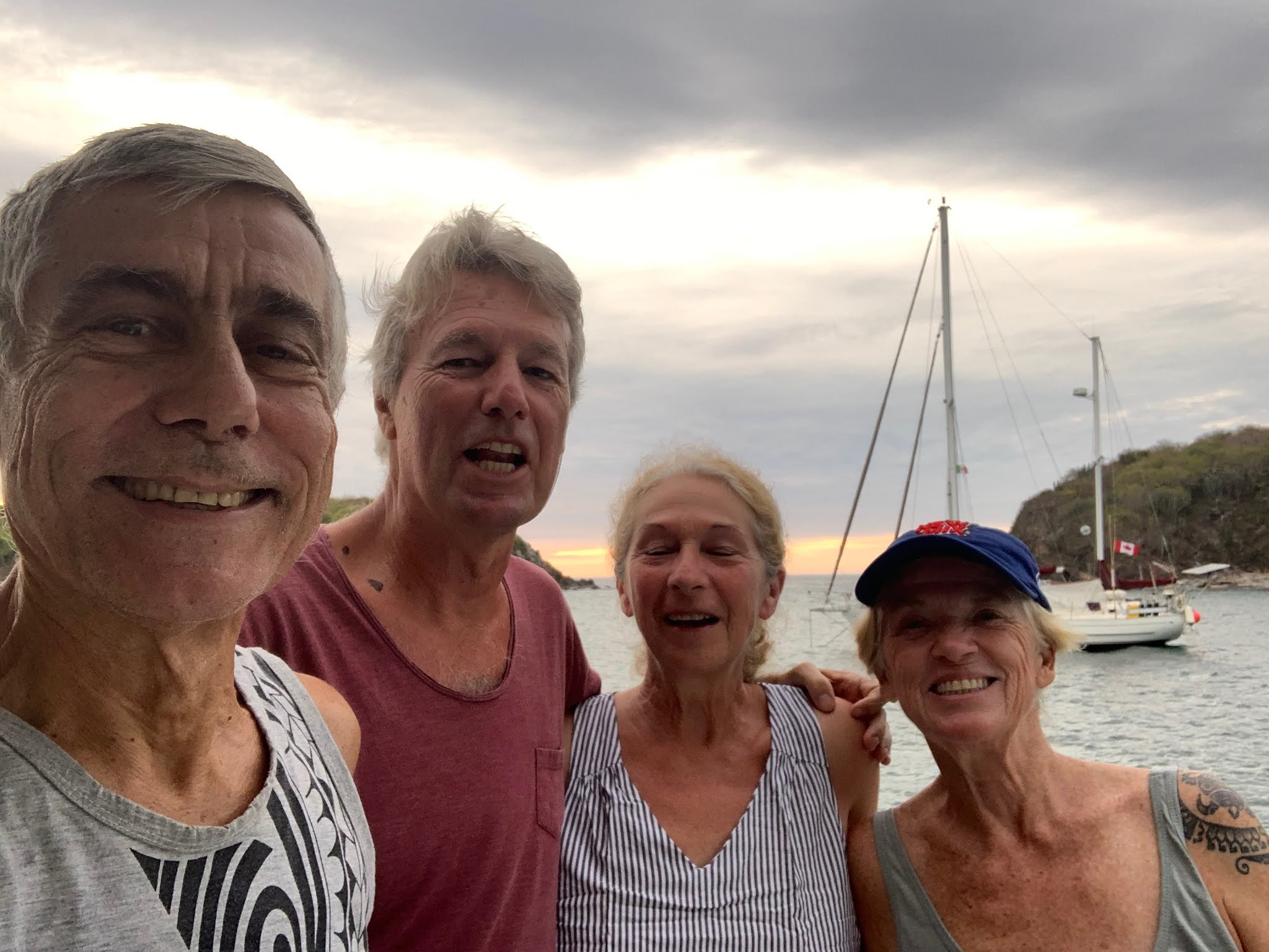
 |
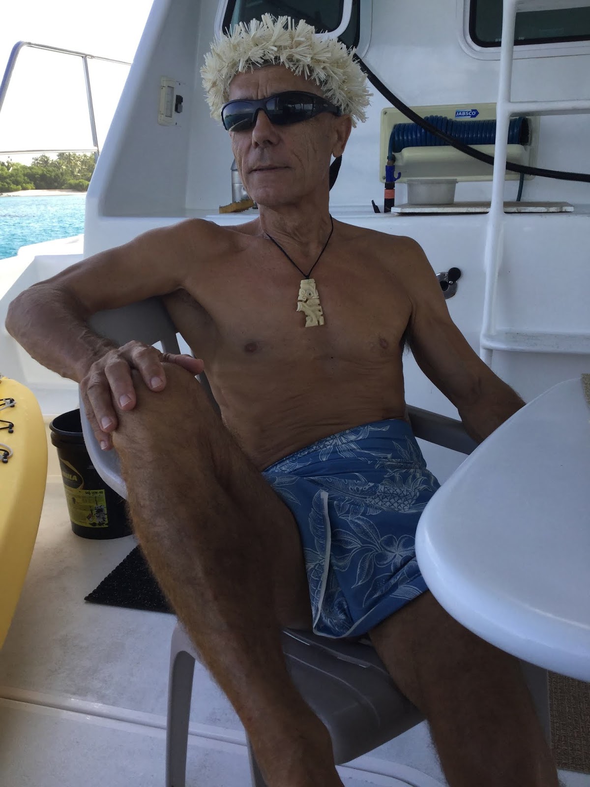
| Cruising with old friends
|
|