
The village of Sand lies in a beautiful setting where the Saudafjorden and the Hylsfjorden meet to form the Sandsfjorden. From our anchorage at Nevoyvagen, we’d already explored to the head of Saudafjorden, including hiking up 3,054ft (931m) Hovlandsnuten from the town of Sauda at the head, and had made a brief pass by tender…
Part III: Replacing 12kW GenSet Cylinder Head
This installment of our maintenance series picks up from our previous video, where we replaced the defective cylinder head in our Northern Lights 12kW generator with a brand new one just shipped in from the US. In this video, we complete the job by adjusting the valves, replacing the coolant and bleeding the fuel…
Sign Us Up
Mom and Dee Dee saw this yard sign on their morning walk.
We’re Just Fine
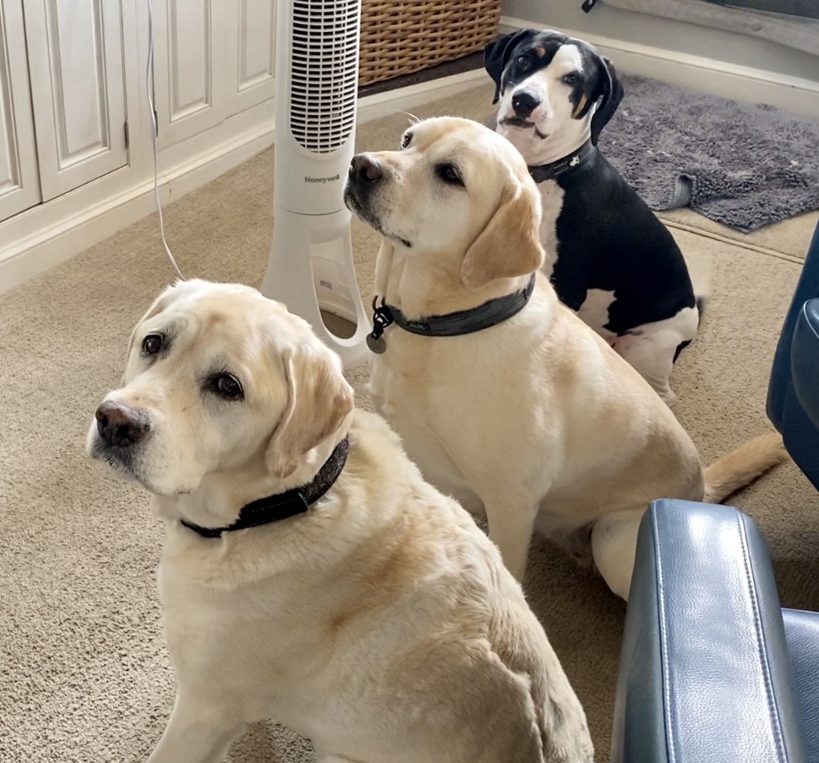
It’s been awhile since Dylan, Dee Dee, and Dora did a blog entry. The entire Red Head crew is doing fine… just not much new going on.
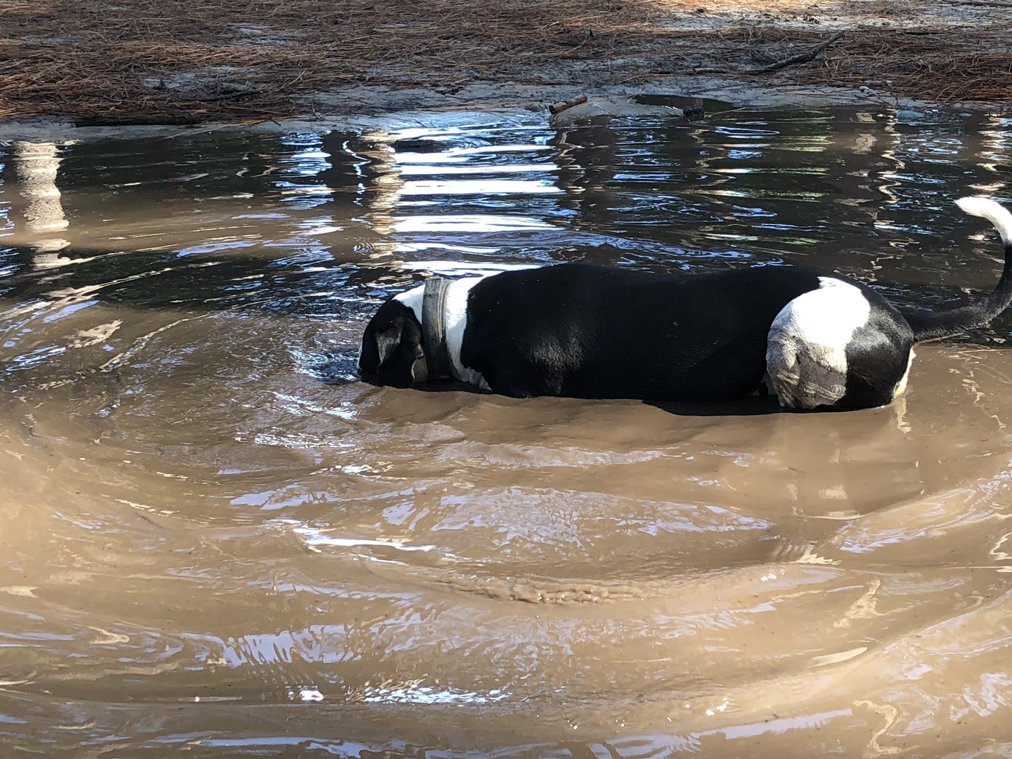
Dylan and Dora head to the dog park each morning where Dora searches for the muddiest puddle she can find.
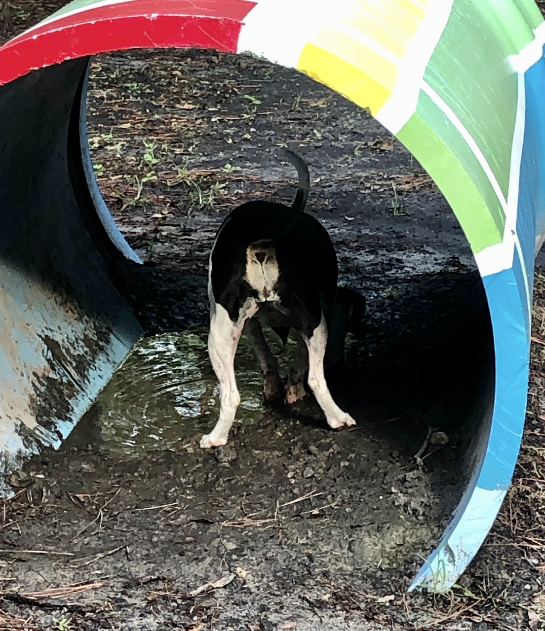
She leaves no stone, or tunnel, unturned in her quest
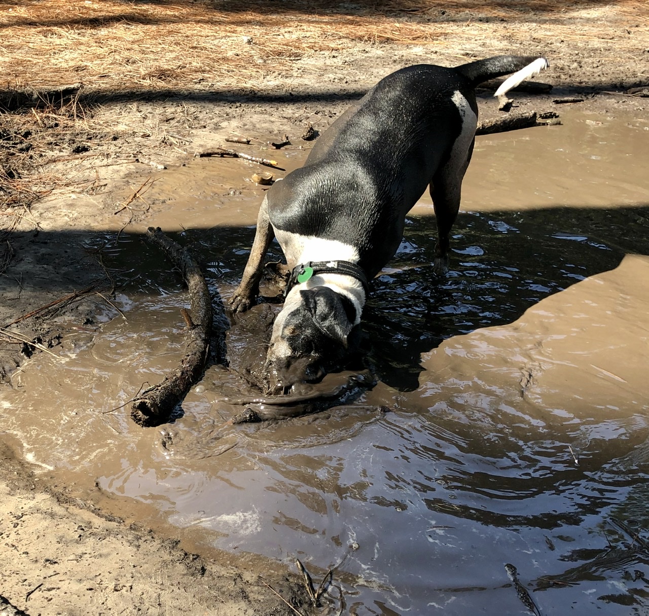
That’s gonna need a good rinse…
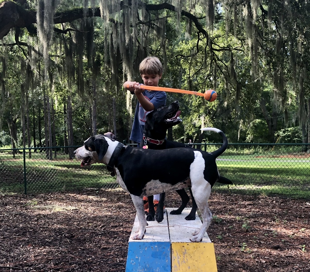
No one is better at making friends than Dora, whether two or four legged
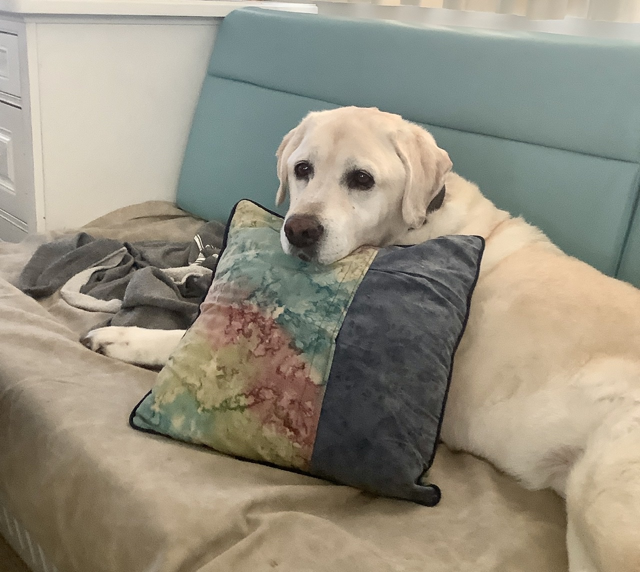
Dylan looks forward to his post-dog park rest.
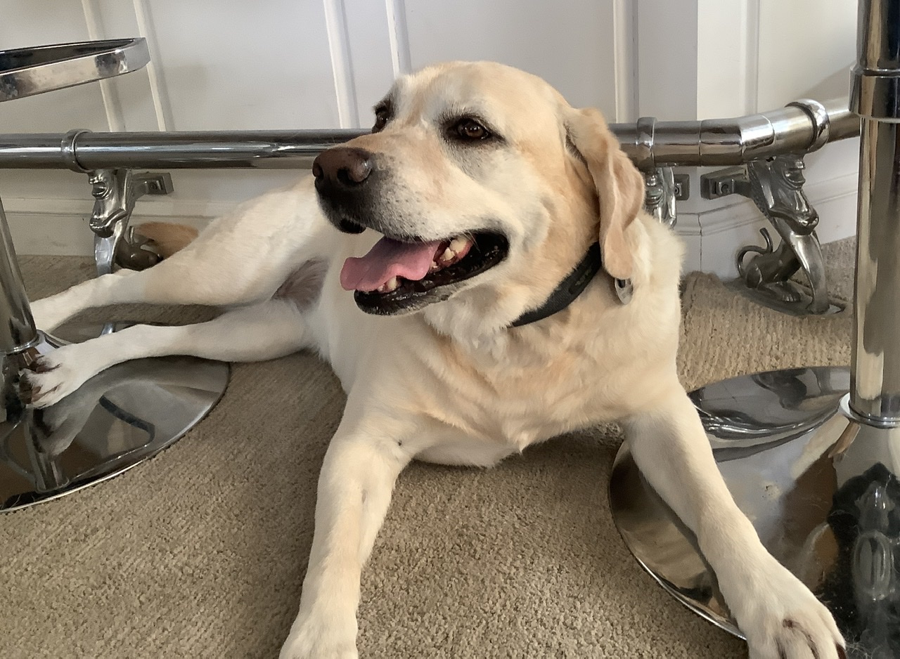
While Dee Dee and Mom enjoy their long morning walk, followed by some quiet time. Mostly the crew is trying to stay safe.
Mom and Dad have developed a plan for taking care of the crew should they become ill. The first goal is to not become ill. So we wear our masks, keep our distance, and stay home. Do we miss friends and dinners and cocktail parties? Zoom and FaceTime help. But honestly, what more do we need than this…
Saudafjorden
Saudafjorden extends 10.5 miles (17km) between the towns of Sand and Sauda through several-thousand-foot mountains with many waterfalls. At the head, the popular Saga Trail extends from Sauda to 3,054ft (931m) Hovlandsnuten. Stone steps newly laid by Nepalese Sherpas lead to the summit, with panoramic views to Saudafjorden and the surrounding mountains. After a 22-mile…
Vindafjorden
After exploring its two branches, Sandeidfjorden and Yrkjefjorden, we completed our five-day tour of cross-shaped Vindafjorden in a beautiful anchorage at Kvaloy. On a warm and sunny day, we toured to the head by tender, then spent a lazy evening enjoying the surroundings from the cockpit. Below are trip highlights from July 24th, 2020. Click…
Juneau to Glacier Bay
While on the dock in Taku Harbor before we went to Juneau, we chatted with several local boaters. They often asked how far north we were going and our reply, Glacier Bay, often elicited the response “have you been to Tracy (or Endicott) Arm.” We have been to both and while both are spectacular, they capture only a portion of what makes Glacier Bay so enjoyable. Tracy and Endicott are long winding fiord-like features with tide water glaciers at the end that calve ice into the water. Glacier Bay also has glaciers that calve ice but it offers more.
First, it encompasses a larger area than either Tracy or Endicott Arms, with more cruising opportunities and a wider range of environments. It has a fascinating natural and human history as Glacier Bay was created in relatively recent times having its origins during the “little ice age” of the 1700’s. The native Tlingit people have oral history that tell of the advancing glaciers that pushed them from their lands that were first covered by ice than by water when the glaciers receded. The wild life is extensive, with many marine mammals (e.g., sea otters, sea lions, whales), birds (e.g., eagles, puffins) and land animals (bears, moose, wolves). While the permitting process for entry is a nuisance, it ensures a quality experience and protects the environment from being loved to death.
Because of Covid related changes, we did not have to do an in-person orientation at the Visitor Center in Bartlett Cove prior to going up bay into the park. With that flexibility, on Wednesday, August 5, we decided to make the long push from Juneau to one of our favorite anchorages, North Sandy Cove, for the night. The route took us by South Marble Island where we saw the requisite sea lions and puffins. While no bears on the beach greeted us, we did have a resident pair of sea otters paddling about and later were serenaded by a pack of wolves, yapping, yipping and howling for several minutes.
Given a forecast of deteriorating weather in future days, the next day we continued up bay to the head of Tarr Inlet and the Margerie Glacier. The absence of cruise ships and the closed Glacier Bay Lodge meant there were no large vessels up bay. Besides the handful of recreational vessels like ourselves, the only commercial vessels operating in the park were small (~30 feet) and fast boats hauling kayakers or taking guests from Gustavus lodges on tours. The ice in the water wasn’t difficult to navigate through, mostly easily dodged large car/truck sized pieces rather than vast swaths of smaller pieces covering an area.
After leaving the Margerie Glacier, we anchored the night at the NE corner of Russell Island, an exposed location with poor holding. The next day, Friday 8/7, we returned to North Sandy Cove. The forecasts were becoming increasingly dire for the weekend, and on Saturday we returned to Bartlett Cove to sit out the storm. We did paddle to shore and give Drake an opportunity to feel something not rocking under his paws.
As this is being written, we are on the tail end of the storm that brought gale force winds to most of the inner channels. We saw gusts in excess of 30 knots and sustained winds in the 20’s. Bartlett Cove is reasonably protected from southeast and south winds which were the initial predicted direction. Unfortunately after we settled into Bartlett Cove to sit out the storm, the track shifted slightly and the tail end of the storm brought 30 knot west winds and 6-foot seas to Icy Strait, a direction to which Bartlett Cove is exposed. This (Monday, 8/10) morning, in the anchorage, we are getting 3-foot rolling waves coming from Icy Strait. We are counting on the forecasted afternoon change to east winds in Icy Strati bringing more settled conditions to the anchorage.
The weather on Tuesday, 8/11, for most inner channels is 10 knot winds and 2-foot seas and we will begin our meandering journey southward.
Juneau to Glacier Bay
While on the dock in Taku Harbor before we went to Juneau, we chatted with several local boaters. They often asked how far north we were going and our reply, Glacier Bay, often elicited the response “have you been to Tracy (or Endicott) Arm.” We have been to both and while both are spectacular, they capture only a portion of what makes Glacier Bay so enjoyable. Tracy and Endicott are long winding fiord-like features with tide water glaciers at the end that calve ice into the water. Glacier Bay also has glaciers that calve ice but it offers more.
First, it encompasses a larger area than either Tracy or Endicott Arms, with more cruising opportunities and a wider range of environments. It has a fascinating natural and human history as Glacier Bay was created in relatively recent times having its origins during the “little ice age” of the 1700’s. The native Tlingit people have oral history that tell of the advancing glaciers that pushed them from their lands that were first covered by ice than by water when the glaciers receded. The wild life is extensive, with many marine mammals (e.g., sea otters, sea lions, whales), birds (e.g., eagles, puffins) and land animals (bears, moose, wolves). While the permitting process for entry is a nuisance, it ensures a quality experience and protects the environment from being loved to death.
Because of Covid related changes, we did not have to do an in-person orientation at the Visitor Center in Bartlett Cove prior to going up bay into the park. With that flexibility, on Wednesday, August 5, we decided to make the long push from Juneau to one of our favorite anchorages, North Sandy Cove, for the night. The route took us by South Marble Island where we saw the requisite sea lions and puffins. While no bears on the beach greeted us, we did have a resident pair of sea otters paddling about and later were serenaded by a pack of wolves, yapping, yipping and howling for several minutes.
Given a forecast of deteriorating weather in future days, the next day we continued up bay to the head of Tarr Inlet and the Margerie Glacier. The absence of cruise ships and the closed Glacier Bay Lodge meant there were no large vessels up bay. Besides the handful of recreational vessels like ourselves, the only commercial vessels operating in the park were small (~30 feet) and fast boats hauling kayakers or taking guests from Gustavus lodges on tours. The ice in the water wasn’t difficult to navigate through, mostly easily dodged large car/truck sized pieces rather than vast swaths of smaller pieces covering an area.
After leaving the Margerie Glacier, we anchored the night at the NE corner of Russell Island, an exposed location with poor holding. The next day, Friday 8/7, we returned to North Sandy Cove. The forecasts were becoming increasingly dire for the weekend, and on Saturday we returned to Bartlett Cove to sit out the storm. We did paddle to shore and give Drake an opportunity to feel something not rocking under his paws.
As this is being written, we are on the tail end of the storm that brought gale force winds to most of the inner channels. We saw gusts in excess of 30 knots and sustained winds in the 20’s. Bartlett Cove is reasonably protected from southeast and south winds which were the initial predicted direction. Unfortunately after we settled into Bartlett Cove to sit out the storm, the track shifted slightly and the tail end of the storm brought 30 knot west winds and 6-foot seas to Icy Strait, a direction to which Bartlett Cove is exposed. This (Monday, 8/10) morning, in the anchorage, we are getting 3-foot rolling waves coming from Icy Strait. We are counting on the forecasted afternoon change to east winds in Icy Strati bringing more settled conditions to the anchorage.
The weather on Tuesday, 8/11, for most inner channels is 10 knot winds and 2-foot seas and we will begin our meandering journey southward.
CRUISING UPDATE
When
New Zealand moved to lockdown Level 1 on 14 May we became one of the
few countries to allow unrestricted cruising once again, while the
Australian situation continues to vary by state with some
restrictions still in place.
New Zealand moved to lockdown Level 1 on 14 May we became one of the
few countries to allow unrestricted cruising once again, while the
Australian situation continues to vary by state with some
restrictions still in place.
More
recently several other countries, mostly in the Med, Caribbean and
South Pacific have followed suit, but there are various restrictions
in place relating to isolation, quarantine and screening.
recently several other countries, mostly in the Med, Caribbean and
South Pacific have followed suit, but there are various restrictions
in place relating to isolation, quarantine and screening.
For example
Fiji has opened Nadi’s Port Denerau, but visiting crews must have
had a minimum of 14 days quarantine at sea, have tested negative for
covid-19 before departure to Fiji and be screened on arrival.
Fiji has opened Nadi’s Port Denerau, but visiting crews must have
had a minimum of 14 days quarantine at sea, have tested negative for
covid-19 before departure to Fiji and be screened on arrival.
Most
Australasian cruisers owning vessels overseas have chosen to forgo
this year’s cruising because of confusion about regulations,
difficulties booking return travel and the need to quarantine on
return. There is also a general concern that circumstances can change
very rapidly and cause major issues for those in the wrong place at
the wrong time.
Australasian cruisers owning vessels overseas have chosen to forgo
this year’s cruising because of confusion about regulations,
difficulties booking return travel and the need to quarantine on
return. There is also a general concern that circumstances can change
very rapidly and cause major issues for those in the wrong place at
the wrong time.
We
continue to enjoy cruising aboard our Salthouse 52, Rapport and since
purchase in late November have logged 50 nights aboard, despite
staying off the water during lockdown Levels 3 and 4.
continue to enjoy cruising aboard our Salthouse 52, Rapport and since
purchase in late November have logged 50 nights aboard, despite
staying off the water during lockdown Levels 3 and 4.
We’ve spoken
to several cruisers who went out to Waiheke, Great Barrier, Kawau and
the Bay of Islands during lockdown and while most of them were
approached by police none of them were required to return home or
stop cruising, so it seems the only real issue would have been a
question mark over insurance cover.
to several cruisers who went out to Waiheke, Great Barrier, Kawau and
the Bay of Islands during lockdown and while most of them were
approached by police none of them were required to return home or
stop cruising, so it seems the only real issue would have been a
question mark over insurance cover.
Our
most recent trip has been eight nights in early June to Waiheke’s
“bottom end”.
most recent trip has been eight nights in early June to Waiheke’s
“bottom end”.
We
arrive aboard at
Hobsonville marina with
our friends Frank and Marie on a
dismal Saturday morning and head
to Westhaven to refuel. We mainly use the flybridge helm and after
berthing at the fuel dock and going below I notice the bilge pump
warning light activated
at the lower helm.
arrive aboard at
Hobsonville marina with
our friends Frank and Marie on a
dismal Saturday morning and head
to Westhaven to refuel. We mainly use the flybridge helm and after
berthing at the fuel dock and going below I notice the bilge pump
warning light activated
at the lower helm.
After
lifting our
bilge hatches I
find
sea water coming in sufficiently
to activate the pumps.
lifting our
bilge hatches I
find
sea water coming in sufficiently
to activate the pumps.
At this point we have no idea where the water
is coming from and as a precaution contact Coastguard in case
additional pumps are needed and
it turns
out Paul, the Coastguard skipper is also a marine surveyor. We can’t
definitively find the source of the leak, but Paul finds a loose hose
clamp on the outlet side of one the
bilge
pumps
and we can see some water back flowing into the bilge.
is coming from and as a precaution contact Coastguard in case
additional pumps are needed and
it turns
out Paul, the Coastguard skipper is also a marine surveyor. We can’t
definitively find the source of the leak, but Paul finds a loose hose
clamp on the outlet side of one the
bilge
pumps
and we can see some water back flowing into the bilge.
After we
tighten the hose clamp the leak stops and we clear all of the water
from the bilge – problem solved right? Well,
no.
tighten the hose clamp the leak stops and we clear all of the water
from the bilge – problem solved right? Well,
no.
We
refuel and depart for Waiheke with a bilge hatch left open to
monitor the situation.
After about ten minutes Frank appears telling
me
there’s
sea water in the bilge again. Damnation or words to that effect are
said as we head back to moor
alongside the
fuel berth to
have
another look. We agree the problem must be related to the engines as
there was no water ingress when they weren’t running.
refuel and depart for Waiheke with a bilge hatch left open to
monitor the situation.
After about ten minutes Frank appears telling
me
there’s
sea water in the bilge again. Damnation or words to that effect are
said as we head back to moor
alongside the
fuel berth to
have
another look. We agree the problem must be related to the engines as
there was no water ingress when they weren’t running.
Sure enough
we find the port
“dripless” shaft seal’s plastic water lubrication fitting has
broken and water intended for lubrication is
going
into the bilge. Frank suggests a temporary repair using Selleys
“Knead-It”
fast-setting
epoxy putty, usable
in wet conditions
(every
cruising vessel should carry a tube or two of this) and
30
minutes later the repair is complete.
we find the port
“dripless” shaft seal’s plastic water lubrication fitting has
broken and water intended for lubrication is
going
into the bilge. Frank suggests a temporary repair using Selleys
“Knead-It”
fast-setting
epoxy putty, usable
in wet conditions
(every
cruising vessel should carry a tube or two of this) and
30
minutes later the repair is complete.
By
now it’s late Saturday afternoon and with
a
gale warning in place
and heavy rain predicted we decide
to spend
the night
back on
our marina
monitoring
the repair and awaiting
better conditions. Two
days later we head
off for an excellent six days cruising with
our
temporary repair lasting
well. One
highlight
was
drift fishing in the Firth of Thames finding plenty of hungry snapper
at most times of day and states of tide. Another
was Waihehe’s Mawhitipana Bay, better known as
Palm Beach where
set back from the beach’s eastern end is the
delightful
and relaxing
Arcadia
cafe
reminiscent of the rustic tavernas we enjoyed during our Med cruising
and
having
a
superette next
door selling
most supplies.
now it’s late Saturday afternoon and with
a
gale warning in place
and heavy rain predicted we decide
to spend
the night
back on
our marina
monitoring
the repair and awaiting
better conditions. Two
days later we head
off for an excellent six days cruising with
our
temporary repair lasting
well. One
highlight
was
drift fishing in the Firth of Thames finding plenty of hungry snapper
at most times of day and states of tide. Another
was Waihehe’s Mawhitipana Bay, better known as
Palm Beach where
set back from the beach’s eastern end is the
delightful
and relaxing
Arcadia
cafe
reminiscent of the rustic tavernas we enjoyed during our Med cruising
and
having
a
superette next
door selling
most supplies.
After
our return I organise repairs to
our shaft seal.
I’ve never been a big fan of dripless shaft seals with
a rubber
bellows because
if the bellows fails
the consequences can be catastrophic.
our return I organise repairs to
our shaft seal.
I’ve never been a big fan of dripless shaft seals with
a rubber
bellows because
if the bellows fails
the consequences can be catastrophic.
However
to
be fair I’m told they’re widely used commercially.
to
be fair I’m told they’re widely used commercially.
Our
shaft seals are about six years old and the manufacturer recommends
installing a replacement service kit after this time. It turns out
that for not much more than the cost of the service kits we can
instal the very robust and low maintenance Kiwi shaft seals, so we go
down that path.
shaft seals are about six years old and the manufacturer recommends
installing a replacement service kit after this time. It turns out
that for not much more than the cost of the service kits we can
instal the very robust and low maintenance Kiwi shaft seals, so we go
down that path.
These seals incorporate an electronic alarm to detect
a high seal temperature – normally caused by an issue with the
supply of cooling sea water.
a high seal temperature – normally caused by an issue with the
supply of cooling sea water.
I’m
also unhappy with our bilge pump monitoring system
and instal a loud audible alarm so we’ll
know immediately a pump is activated and can then turn the alarm off
while we check its
cause.
also unhappy with our bilge pump monitoring system
and instal a loud audible alarm so we’ll
know immediately a pump is activated and can then turn the alarm off
while we check its
cause.
Hopefully
these problems are now resolved, but no doubt others will follow!
these problems are now resolved, but no doubt others will follow!
CRUISING UPDATE
When New Zealand moved to lockdown Level 1 on 14 May we became one of the few countries to allow unrestricted cruising once again, while the Australian situation continues to vary by state with some restrictions still in place.
More recently several other countries, mostly in the Med, Caribbean and South Pacific have followed suit, but there are various restrictions in place relating to isolation, quarantine and screening.
For example Fiji has opened Nadi’s Port Denerau, but visiting crews must have had a minimum of 14 days quarantine at sea, have tested negative for covid-19 before departure to Fiji and be screened on arrival.
Most Australasian cruisers owning vessels overseas have chosen to forgo this year’s cruising because of confusion about regulations, difficulties booking return travel and the need to quarantine on return. There is also a general concern that circumstances can change very rapidly and cause major issues for those in the wrong place at the wrong time.
We continue to enjoy cruising aboard our Salthouse 52, Rapport and since purchase in late November have logged 50 nights aboard, despite staying off the water during lockdown Levels 3 and 4.
We’ve spoken to several cruisers who went out to Waiheke, Great Barrier, Kawau and the Bay of Islands during lockdown and while most of them were approached by police none of them were required to return home or stop cruising, so it seems the only real issue would have been a question mark over insurance cover.
Our most recent trip has been eight nights in early June to Waiheke’s “bottom end”.
We arrive aboard at Hobsonville marina with our friends Frank and Marie on adismal Saturday morning and head to Westhaven to refuel. We mainly use the flybridge helm and after berthing at the fuel dock and going below I notice the bilge pump warning light activatedat the lower helm.
After lifting our bilge hatches I find sea water coming in sufficientlyto activate the pumps.
At this point we have no idea where the water is coming from and as a precaution contact Coastguard in case additional pumps are needed and it turns out Paul, the Coastguard skipper is also a marine surveyor. We can’t definitively find the source of the leak, but Paul finds a loose hose clamp on the outlet side of one the bilge pumpsand we can see some water back flowing into the bilge.
After we tighten the hose clamp the leak stops and we clear all of the water from the bilge – problem solved right? Well, no.
We refuel and depart for Waiheke with a bilge hatch left open to monitor the situation. After about ten minutes Frank appears tellingme there’s sea water in the bilge again. Damnation or words to that effect are said as we head back to moor alongside the fuel berth to have another look. We agree the problem must be related to the engines as there was no water ingress when they weren’t running.
Sure enough we find the port“dripless” shaft seal’s plastic water lubrication fitting has broken and water intended for lubrication is going into the bilge. Frank suggests a temporary repair using Selleys “Knead-It” fast-setting epoxy putty, usable in wet conditions(every cruising vessel should carry a tube or two of this) and 30minutes later the repair is complete.
By now it’s late Saturday afternoon and with a gale warning in placeand heavy rain predicted we decide to spend the nightback onour marinamonitoringthe repair and awaitingbetter conditions. Two days later we head off for an excellent six days cruising with our temporary repair lastingwell. One highlight was drift fishing in the Firth of Thames finding plenty of hungry snapper at most times of day and states of tide. Another was Waihehe’s Mawhitipana Bay, better known asPalm Beach where set back from the beach’s eastern end is the delightful and relaxing Arcadia cafe reminiscent of the rustic tavernas we enjoyed during our Med cruising and having a superette next door sellingmost supplies.
After our return I organise repairs to our shaft seal. I’ve never been a big fan of dripless shaft seals witha rubberbellows because if the bellows fails the consequences can be catastrophic.
However to be fair I’m told they’re widely used commercially.
Our shaft seals are about six years old and the manufacturer recommends installing a replacement service kit after this time. It turns out that for not much more than the cost of the service kits we can instal the very robust and low maintenance Kiwi shaft seals, so we go down that path.
These seals incorporate an electronic alarm to detect a high seal temperature – normally caused by an issue with the supply of cooling sea water.
I’m also unhappy with our bilge pump monitoring systemand instal a loud audible alarm so we’llknow immediately a pump is activated and can then turn the alarm off while we check itscause.
Hopefully these problems are now resolved, but no doubt others will follow!
