Those of you who have followed my bi-yearly coastal runs know that none have escaped a weather incident. And yes, I know it’s not over until the fat lady sings, but as we proceed down the coast of Virginia with 479 NM under our belt the weather has been VERY cooperative. Most important, the forecasts continue to look promising although not perfect due to higher 20 to 30 knot winds from the north starting on Friday, the result of a frontal passage. However, a north wind once we clear Cape Hatteras will give us a following sea, perhaps all the way to Stuart. Stay tuned for an update.
 |
| Sunrise as we head southeast toward the Cape Cod Canal |
The voyage started on a high note on Tuesday, November 1 with a 6:24 AM departure, 36 minutes earlier than planned. That 36 minutes coupled with other time pickups could mean getting into Clewiston before dark. We’ll see.
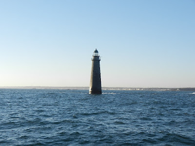 |
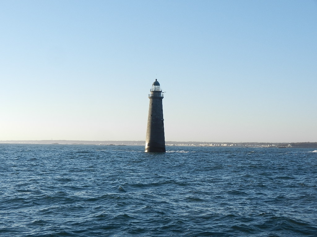
| Minots Light Cohasset |
We experienced light winds and favorable seas from Hingham to the Cape Cod Canal and then a favorable 1 to 2 knot current through canal, which continued through Buzzards Bay along with flat seas. We averaged 8.8 knots to the Buzzards Bay Light (.4 knots above the 63’s optimum 8.4 knot cruise speed at 1400 RPM). At the light we set a direct course to Cape May. This course took us within 100 yards of the Block Island wind farm, which you may recall was the subject of a blog article last May entitled “Alien Lights in the Night.” We passed the wind farm just before 7:00 PM, in the dark, but knowing the farm was there eliminated the mystery. Now it’s just a friendly “landmark” along the way.
 |
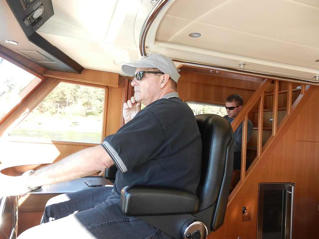
| Morgan sitting on the flybridge stairwell |
Last November when we went direct to cut out the Long Island and Jersey shorelines we started out with a favorable forecast for winds and wave heights. NOAA lied, or, perhaps I read it wrong, but winds built overnight and before reaching Ocean City we experience waves that ultimately reached 10 feet before subsiding as we got close to shore. Not fun and it fouled the anchor chain on both anchors.
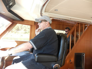 |
| Guy in command |
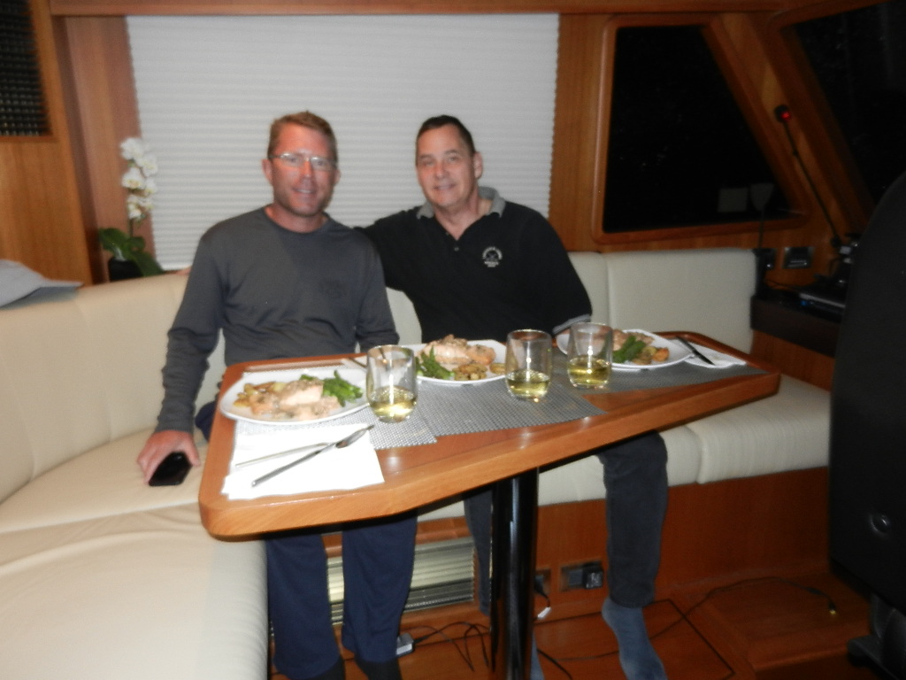
This year NOAA’s forecasted for this offshore run predicted 5 knots winds out of the south with flat seas. Well they got it wrong again. Winds built overnight to a solid 15 knots and seas built 3 to 4 feet. Mind you I’m not complaining, just reporting. Except for a little spray the run was pleasant enough that I cooked a gourmet meal. Monday’s dinner consisted of a caprese salad, an entrée of poached salmon with shallots, garlic and herbs, asparagus with garlic herb marinate and baked herb de Provence potatoes slices, white wine and raspberries with whipped cream for desert.
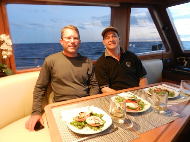 |
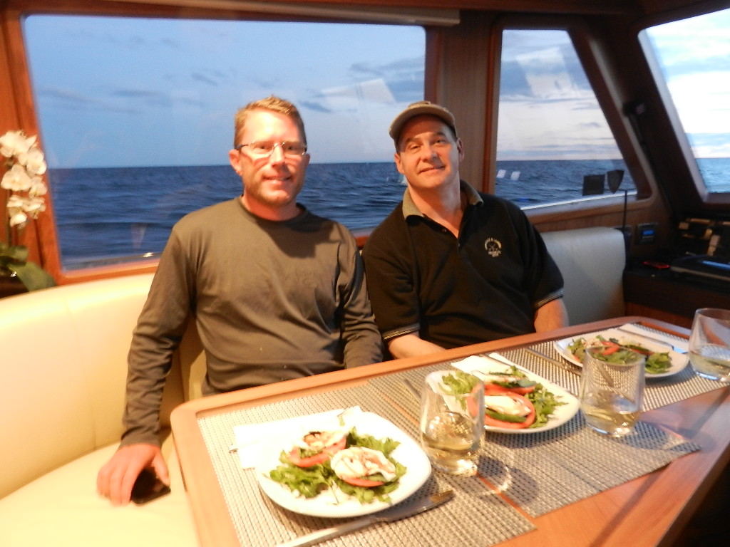
| Morgan and Guy pose with the caprese salad |
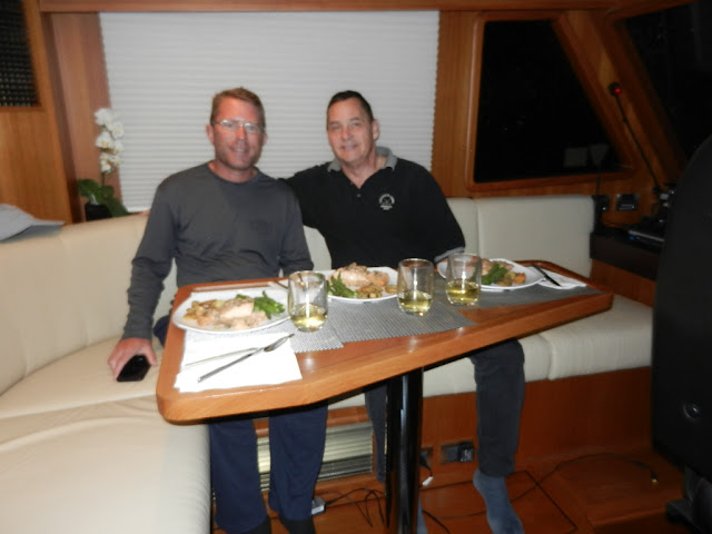 |
| Ready for a gourmet dinner |
We did have one interesting incident. The Coast Guard at 10:19 AM broadcasted a warning of a wooden dock floating in vicinity of Ocean City and provided the following location; 39 degrees 16.302 minutes north, 074 degrees 36.263 minutes west. I programmed this into the chartplotter and discovered the location was on land. Something was amiss. The problem is that there are different three different formats for latitude and longitude and my chartplotter’s format did not match the Coast Guard’s.
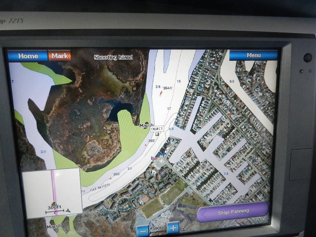
I called the Coast Guard and requested the location in degrees, minutes and seconds. Looks like I stumped the stars as it took a good 10 minutes and numerous calls to finally get the information I needed (36.16.19 N, 074. 36.14 W). We plotted the location. It showed the object floating in the ICW in the vicinity of Shooting Island. I called the Coast Guard and described the location and asked for confirmation. Yep. We got it right.
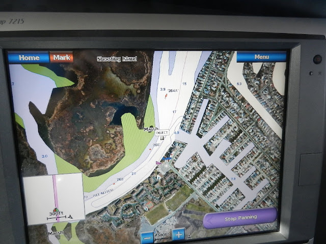 |
| Location of the floating object (a dock) after getting the location in the correct format |
My recollection of the warning is that they reported the location as Ocean City and gave the latitude and longitude. Had they stated it was on the “intracoastal” I would have disregarded the warning as we will pass Ocean City well offshore. I find the Coast Guard’s communication here as sloppy.
Further, not being able to immediately provide the location in degrees, minutes and seconds is also sloppy. I did not realize that there were multiple was to format lat/lon until last year when I called Garmin to find out why I could not program the recommended route for the shallow water at Sarasota Big Pass. I suspect that is true of most boaters.
Stay tuned for updates on our progress.
Written by Les.