
Another coat of primer going on the keel & bottom!Spent the morning finishing up the sanding on the keel & bottom panels. Decided to try to get some paint on it this afternoon. This time it’s an industrial grade epoxy primer that’s used for und…
Ride ‘Em Cowboy (And Girl)…
Great Loop II Date: 8/7/2014
Day #8 (Thursday): 95 miles (293 total miles)
Port #5: Harrisville Municipal Harbor
OB’s crew arose early to get underway for a long day on the water. Our plans have changed daily. We want to add new experiences to our adventure.

Although Port Austin and Tawas Harbor (all in Michigan) would have been new ports to us, we have always wanted to let OB touch Lake Superior before our long distant cruising days close. We also need to travel as far as we can when the weather permits, especially since we are traveling at slower speeds. So Todd plotted a course to Harrisville, MI repeating the same long travel day we had 4 years ago during Loop #1.
We left Port Sanilac under a beautiful sunrise and 1 foot seas. By the time we were approaching the Saginaw Bay area, we were taking 3 foot rollers on the nose. Were it Lake Erie, everything in the boat would be on the floor, including us. Lake Huron is much deeper so riding them is more like a slow motion bucking bull ride. Although not a bad ride, it does get a bit tiring.
Many times during this trip (including today) we are not in sight of land. Even with the bouncing, each member of the crew has to take time at the helm and find things to do. I often work on our blog, although today we were out of range for both our phones and our MiFi. Todd moves between the upper and lower stations, drinks coffee and plans course directions. Charlie finds the best spot to ride out the boat movement and sleeps.
 |
| We saw one lone sailor today. Four power boaters did pass us southbound but I didn’t get their picture. |
 |
| Looking west… |
 |
| …looking north… |
 |
| …looking east… |
 |
| …looking south… |
 |
| …Charlie looking at his eyelids. This was his spot today…the lowest spot in the boat! |
I wanted to try my new inverter in the galley with my crockpot. Before we left port, I assembled beef stew in the crockpot and plugged it in. I was so happy it all worked well and we had a fine dinner aboard when we arrived in Harrisville.
 |
| Here’s the crockpot set up…the red arrow is pointing to the 1000W Inverter. I keep the crockpot in the sink so it doesn’t migrate to the floor if seas get bumpy. |
We relaxed on the bridge before dinner, walked Charlie a few times, watched a little TV after dinner and turned in early. Today was a 10 hour travel day and we were tired.
Mixing Business with Pleasure – Side Trips to Marblehead & Swampscott
Two side trips, one to Marblehead and one to Swampscott, were facilitated by Diana having brought the car up to Salem. The first was to Marblehead on Tuesday afternoon.The Taurus parked in the historic districtMarblehead Historic DistrictMarblehe…
Day 209…National Lighthouse Day
Welcome to day 209 of 365 photos…Today is almost over but it was National Lighthouse Day. I am on the Outer Banks today and saw three lighthouses that I will share with you. Camera: Nikon D7100 – Lens: Tokina 12-28mm Focal Length: 28mm – Aperture: f/5.6 – Shutter Speed: 1/800 second – ISO: 400 Glad… Continue Reading
The post Day 209…National Lighthouse Day appeared first on Moosetique Musing.
The River Is Waiting
First I would like to apologize for our blog postings not being as timely as they have been in the past. There is a very good reason for that and I will do a post explaining why sometime in the future. Beach House still needed to get farther north to…
The River Is Waiting
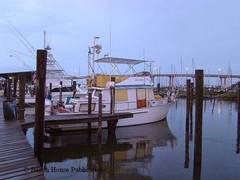
First I would like to apologize for our blog postings not being as timely as they have been in the past. There is a very good reason for that and I will do a post explaining why sometime in the future. Beach House still needed to get farther north to be sure we met our insurance requirements and to also give the crew peace of mind during this next hurricane season. The stay at Dog River Marina was nice and the chores and repairs we wanted to make were done early. The only delay was waiting for the chart chip for the plotter that covers the inland river systems. We came to the realization that our plotter only covered a small part of Mobile Bay and did not cover any of the inland rivers. So a new C-Map chip was ordered and, of course, the two-day shipping arrived in four days. Since it was delivered at about 10 a.m., the docklines were cast off and the trip up Mobile Bay and into downtown Mobile was made a little later than we liked, but still early enough to reach our first day’s anchorage with time to spare.

The downtown Mobile waterfront is mostly industrialized with shipping terminals, repair yards and various other terminals. The only semblance of a downtown waterfront is the Convention Center with a concrete bulkhead to tie recreational boats. The reviews we have received from other boaters do not recommend this spot because of the large amount of commercial activity, including large ships, working tugs and tows that can create rather large wakes along the wall. In bad weather, this can be downright treacherous. Our destination was much farther upriver, and one encounter with the prop wash from a tug moving a ship into the terminal was all we needed to encourage us to keep moving. Once beyond the main harbor, the scenery changes significantly and the hustle and bustle changes to a relaxed and more remote waterway. The Mobile River is wide and deep right up to the banks. The current flow was against us for the entire trip and always runs from north to south. Along this stretch we would have about ½ to ¾ knot of current against Beach House, nothing of real concern. During the Spring floods, the current can run 3 knots or more.
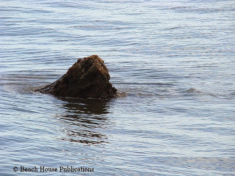
Once away from Mobile, the river is tree lined on both sides and there is little to no sign of civilization. There were a few small fishing boats, but even they disappeared as the miles ticked off behind us. A sharp lookout is required anywhere on the river system. We often passed everything from plastic buckets to tree branches to entire trees floating just near the surface. Many of these pieces of debris could do serious damage to our propeller if we struck them at our cruising speed. What appeared to be nothing more than a small branch floating just above the surface might very well have a 20-foot tree trunk attached and just a foot or more underwater. We often found ourselves zigging and zagging around small pieces of driftwood just in case. Once well underway, it would be a long distance for any attempts to provide us with assistance or repairs should we have needed them.
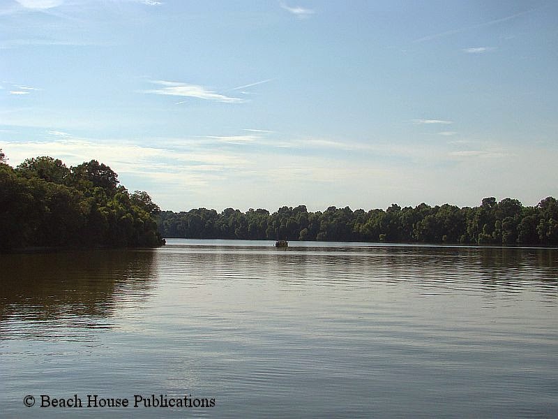
Because of the late start, the decision was made to pass up several good anchorage spots early on. Insurance pressures were not the only reason we needed to get up the river system as soon as possible. The locks at Coffeeville and Demopolis were both scheduled to close for a month to complete annual maintenance and the date was approaching. The distance to our first anchorage was at river statute mile 39.2, giving us a total mileage for the day at about 50 miles. The tree-lined river is spectacular and the only traffic besides Beach House was a number of large tows pushing barges that measured in the hundreds of feet. The first day was uneventful and by mid-afternoon the entrance to Tensas River appeared around a corner offering a wide, deep, protected anchorage well off the river and away from the commercial traffic that travels all night. Just past the first bend in the Tensas, the depths rise to 8 and 10 feet rather than the normal 20 to 30. Our challenge for the rest of the trip would be to find anchorages that were shallow enough to not need excessive amounts of anchor rode. On this night, we would share the anchorage with a small sailboat. It would be the last anchorage for while that we would share with another pleasure boat.

Hurdle number one was within our grasp. Coffeeville Lock and Dam is located at river mile 116.6, about 77 miles up river. A long day for us, but easily doable. The day started just after the sun came up, and for half the day, the sun was out and the temps were comfortable. By midday, the clouds began to build and a check of weather radar showed showers and rain moving into our area. At the junction located at statute mile 45, the Mobile River becomes the Tombigbee. The river twists and turns to such an extent that to travel 40 miles as the crow flies requires traveling 60 miles or more on the river. On several occasions we heard our boat named being called over the VHF radio. Tows heading in our direction were seeing us on their AIS display and knew exactly where we were, and how fast we were traveling. The AIS allowed us and them to be aware of each other and make passing arrangements long before either of us saw the other. At times, it was as simple as instructions from the tow to give them a pass on one or two whistles. One whistle meant we passed them leaving the tow on our port side and two whistles meant we left the tow on our starboard side. On a couple of occasions we were asked to pull over to the side and stand by until the tow had passed. Beach House was happy to comply.

By 4:30 in the afternoon, we were approaching Coffeeville Lock. It had been raining off and on for hours, and as we approached the lock entrance the rain increased, of course. Contacting the Lockmaster on the VHF radio, we were instructed to enter the lock and tie up port side to. The boat is secured in the lock using a single floating bollard tucked into an indentation in the lock wall. All that is required is a single line attached to a midship cleat. We were also instructed to make sure everyone working on deck was wearing a lifejacket. Beach House slowly approached the floating bollard, slowed to a stop, and a line was dropped around the bollard and then made fast to the midship cleat with little or no slack. It was the easiest lock tie up we have ever experienced. The Coffeeville Lock would raise us up 35 feet to the next river level. The entire process took about 25 minutes and Beach House was the only vessel in the huge lock. When we motored out the other side, the rain was pouring and we were thoroughly soaked. Rather than find another anchorage for the night, the decision was made to tie up at Bobby’s Fish Camp, a small marina and campground just outside the lock. We wanted to plug in and dry off for the night before we began the next part of our river journey.
View From Mile Zero
Yep, Conch Harbor Marina’s onSpot wifi hotspot is fast enough to stream live video.
So grab a Margarita, sit back, and watch the sunset in Key West — From the comfort of your own home. ~Searchin’ for my lost shaker of salt~
World Class Sunset
Enjoy
Nordhavn Exumas Abacos Bahamas trawler Caribbean Pickwick Boat dogs
Memphis Downtown
Memphis Downtown
Ladies of the Lakes…
Great Loop II Date: 8/6/2014
Day #7 (Wednesday): 44 miles (197 total miles)
Port #4: Port Sanilac Marina (private sailboat marina south of the state docks)
Today opened up with beautiful sun, reported early morning fog (that we never saw) and 10 minutes to make the bridge opening at 8:30AM. We moved around quickly and had OB in front of the bridge when the sirens sounded and the spans opened up to let us out into a busy St. Clair River.
We passed many downbound ‘Ladies of the Lakes’ (and Oceans). They come in all different shapes and sizes. Some have their wheelhouse on the bow; some have the wheelhouse on the stern. All of the freighters we saw today were of size that could make the locks.


 |
| Couldn’t tell if these guys were working or playing poker as their freighter passed us going downbound. |
 |
| It always seems odd to me to see barges and tows here. More expect them on the Illinois, Mississippi, Ohio and Tennessee River systems. |

It was surprising to pass the Pearl Mist, a new cruise ship from the Pearl Seas Cruiselines. She has 6 decks, 108 cabins and ‘pampers’ 210 passengers. Her website, as well as the report in the USA Today article, list The Pearl Seas as a ‘luxury’ cruiseliner. Depending on the destination, the prices range from the mid-$3000s to $11,000 per person. She is 335 feet long, has a 56 foot beam and draws 12 feet which still makes OB look like a puppy!


Going under the Bluewater Bridge that spans from Port Huron, MI to Sarnia, ON, CA is always interesting. The waters in the St. Clair River and Lake Huron are such a beautiful blue, you’d swear it isn’t real. But when you hit the turbulence before and under the bridge, you know it is moving with force DOWN to Lake Erie.

Once we escaped into Lake Huron, we had 2 foot rollers for the rest of our trip to Port Sanilac. We had a shorter day, docked at a private marina instead of the state docks and had a most scrumptious appetizer dinner. Since there was an ice cream shop onsite, we had some good hand dipped ice cream before turning in for the night.
Because of OB’s size, the dockmaster had us put our navigation lights on during the night. He feared the local fishermen that frequent the marina would run into us in the dark. Apparently they don’t often look where they are going. It did make me consider doing the same once we get OB to her dock in Cape Coral. I’ve thought about doing something to make her obvious in our canal during the night…until the locals get used to her being there.
 |
| After leaving the St. Clair River, freighters became ghosts on the horizon. |


 |
| Charlie picked his spot in the breeze coming in the door. |
 |
| This is what we typically see as we approach our marina for the night’s stay. |
 |
| OB sitting at the end of the dock. |
 |
| Port Sanilac Marina is a private marina with mostly sailboats. They were super friendly, very clean facility and a quiet night. |
 |
| We had appetizers at Uri’s and they were D.E.L.I.C.I.O.U.S. |
 |
| Uri’s has a nice dining room that overlooks the marina. We loved this little bar and chose to relax here. |
Best laid plans of mice and men often go astray.
“The best laid schemes o’ mice an’ men / Gang aft a-gley.” – Robert Burns
Ayup! Well long story short. I was planning on giving the keel & bottom panels a quick light sanding yesterday to get it ready to put the anti-fouling paint on it. Now, the keel and bottom wasn’t really faired to the quality of the side panels because once they’re covered in black anti-fouling paint and in the water no one will see them. As soon as I put the small sanding block to the bottom I immediately cut right through the primer onto the epoxy coating underneath! Doh!
So what to do. Say ‘screw it’ and just anti-foul over it or put more primer on? Hmmmm? My buddy Peter had pretty good luck with an epoxy primer he got from Benjamin Moore so I called the store in Ottawa. They don’t sell that exact kind Peter used but had a new brand. So off I went to Ottawa to buy some more expensive paint! *Sigh*
In order to get a new coat of primer on the boat the old layer has to be sanded (Keyed) so the new primer can bond to it better. I started that this morning, doing it all by hand so I didn’t burn too many holes through the primer. It takes the fine touch of the hand to keep it from cutting too deep.
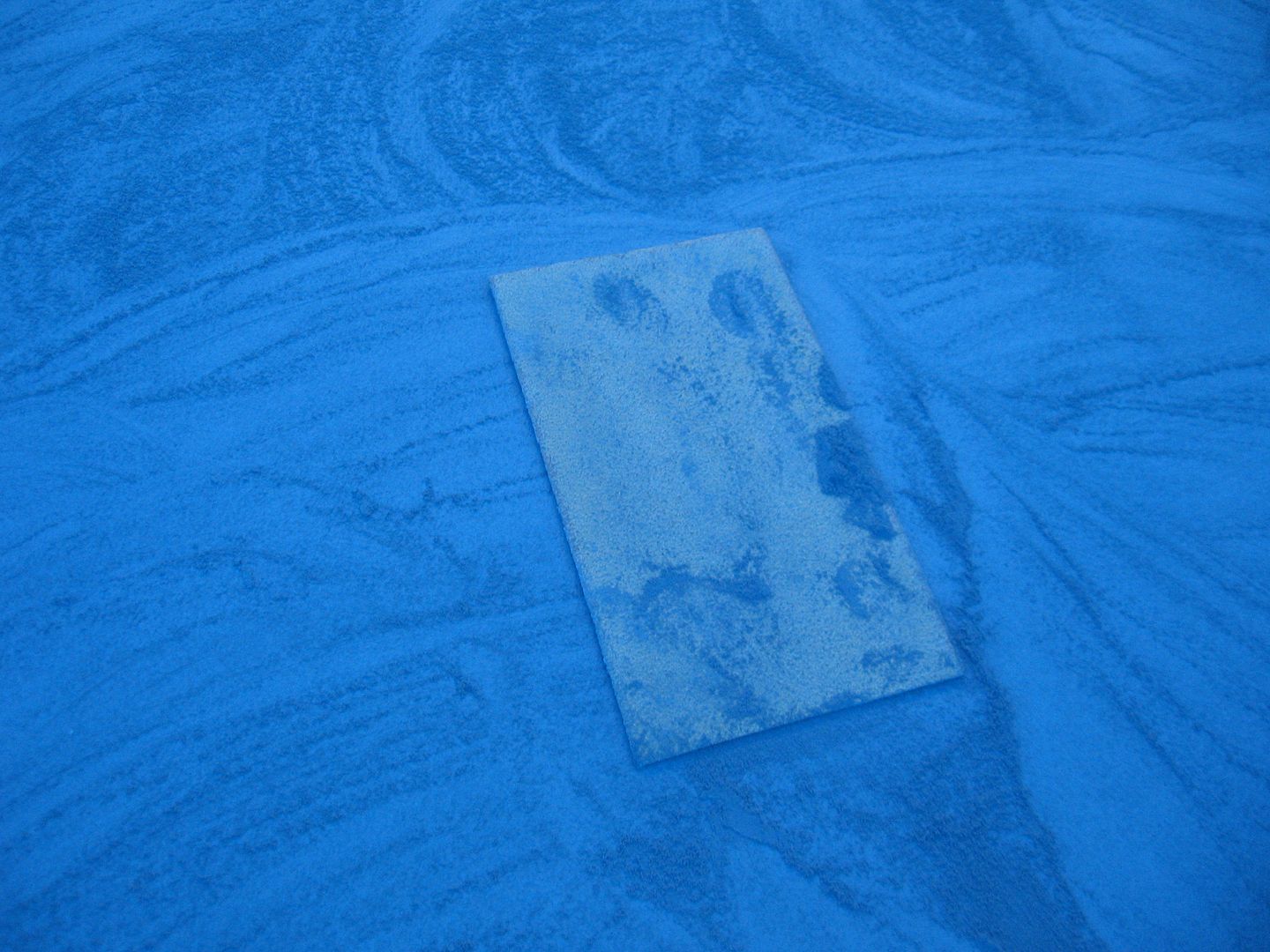
It goes pretty quickly. The primer is soft. Not squishy soft but soft like chalk sort of. Once you get the orange peel sanded off you end up with a nice smooth hard surface. It’s nasty stuff to sand though. Produces a very fine dark grey dust that goes absolutely everywhere!
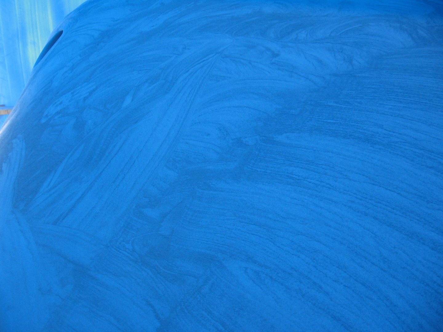
So originally the plan was to just do the keel & bottom down to the water line for the re-coat. I was planning on doing the sides later once the boat is upright and most of the work is done. I figured it’ll get a few bumps, bruises, bangs & nicks along the way so finish fairing and painting would be near the last thing done on the boat. Well silly me just has to try out his fancy schmancy sanding tools (Flexicats) on the side panels.
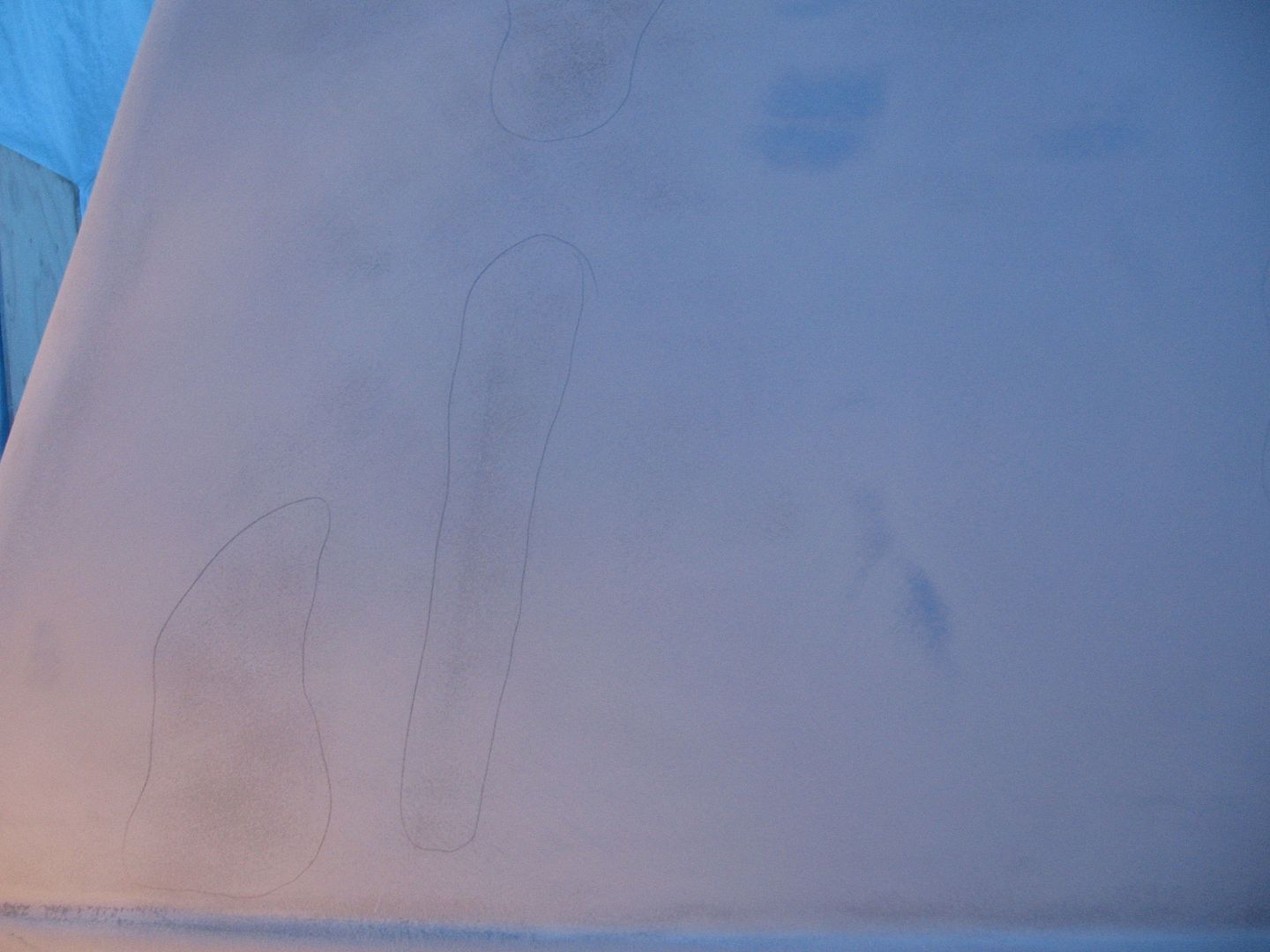
It becomes evident pretty quick that there’s still work to be done on the sides. The blue spots are highs and I’ve circled the lows in pencil. The low spots will have to get an extra coat of primer before another go round of sanding & primer. These lows are incredibly shallow. You can’t feel them except for the slight orange peel in the primer that’s left. So that’s where today’s plan sort of went off the track. I’ll get back to the keel tomorrow then put another coat of primer on it. I’ll be able to overcoat this primer with the anti-fouling a lot easier. It has a much greater window for overcoat than the other stuff did.
Who knows, in a 100,000 years some alien archaeologist may find this image on a trashed hard drive of a computer server and wonder: “What the f*ck is that?” 
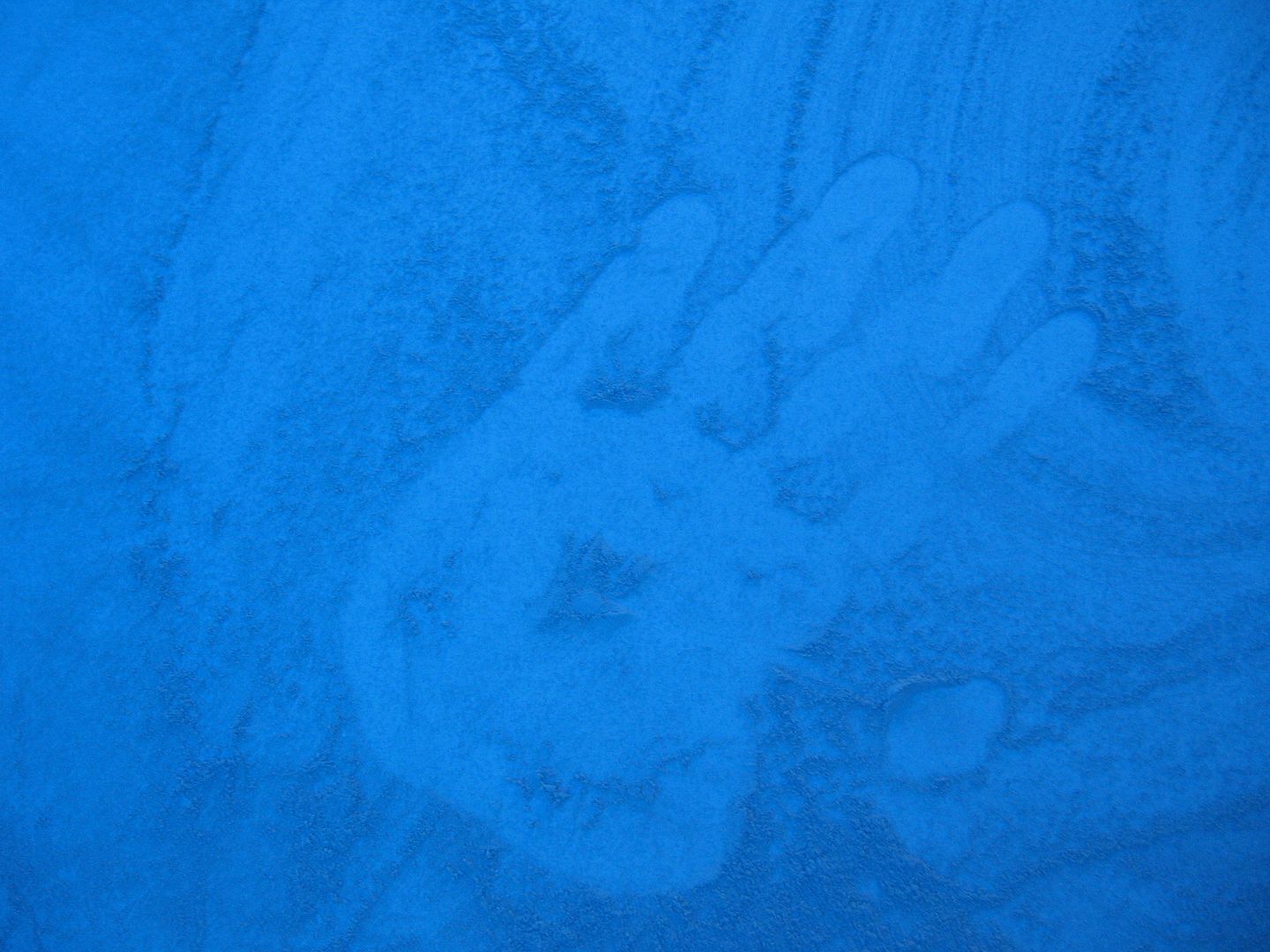
So just when I thought I was done sanding I’m back to sanding. I’m sorry, believe me no one wants to see this tub flipped over more than me.
Standby……..
Hard Core Weather Watchers Alert -Bertha Is Going to Rock
Hurricane Bertha has gotten a little press so far, but her evolution to extra-tropical structure indicates big things may be in store for the UK and parts of Europe.Hurricanes are compact, rarely more than 40 miles across where their strong winds reside, and slow moving. As a result they are easy to dodge. When these […]
