Alaska 2014 – Vancouver to Dent Island

May 17, 2014

With no early departure scheduled, we slept in until 0700 and then, after coffee and a trip to “Urban Fare” for pastries, lounged in the cockpit in the sun and had the pastry snacks.  After a while, we got up the energy to prepare shrimp and avocado omelets chased down with Bloody Mary’s while watching the pedestrians heading to the ferries and the dragon boats both training in the estuary and providing tours for the two cruise ships in port.

At 1300 all four of us headed to Granville Island using the water taxi so we could shop and also search for more fresh oysters.  The oysters were found at “The Lobsterman” and we brought back several dozen which we shucked and had as an appetizer before going to “Provence Bistro” for a meal of “small plates” that we shared.  The menu included escargot, stuffed Piquillo peppers, meatballs, calamari, mushrooms and gnocchi, all good.  Returning to Spirit, we had a reprise game of”Mexican Train” before finally calling it a night.
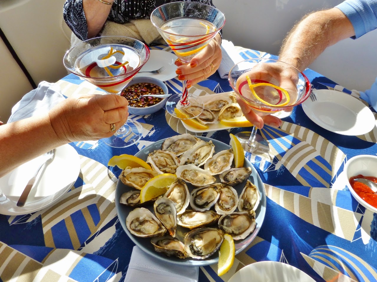
Our fresh oysters from The Lobsterman
May 18, 2014


Pat Benson on the Selene 53 “Wild Blue” had recommended some frozen croissants from Urban Fare called “Vancouver Croissants”.  Patrick had purchased a box of plain and a box of chocolate croissants, and we tested them by letting them rise overnight per the directions.  By the time we got up on Sunday morning they had fully risen and became the centerpiece of breakfast in the cockpit.  They were as good as advertised!

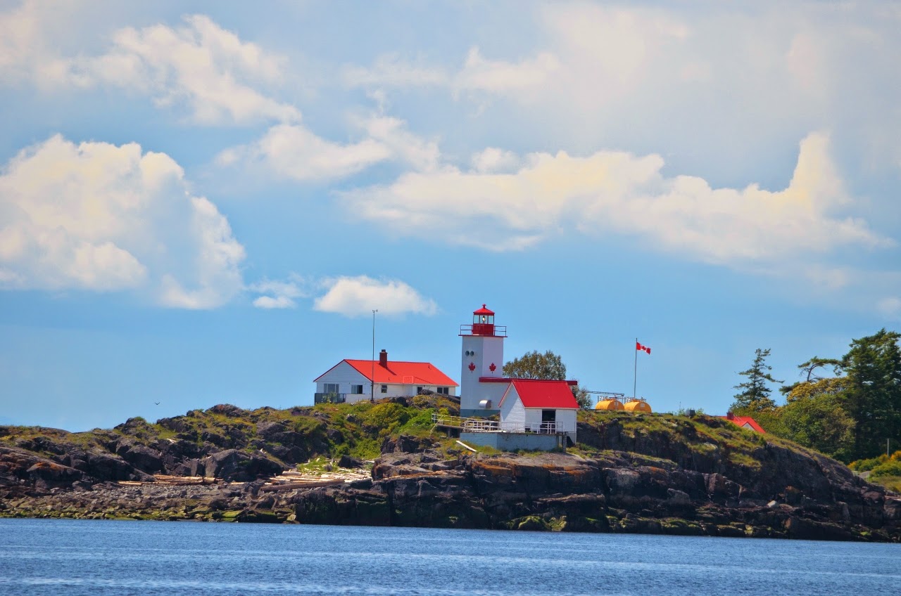
At 1000 we said goodbye to Ted and Lisa Marx, who will take the afternoon train back to Edmonds and headed out of False Creek.  The weather was mostly sunny, with just rippled seas and light winds.  After threading our way through the numerous freighters anchored in English Bay we headed past Bowen Island at the entrance to Howe Sound.  As we passed White Islets we saw a number of both mature and juvenile bald eagles and sea lions on the rocks.  Continuing towards Pender Harbor we passed Mary Island lighthouse and cruised through Welcome Passage past Smuggler Cove.  Smuggler Cove looked nearly full of sailboats as we passed the entrance, where we had anchored on our trip north in 2007.  We did not even use the stabilizers as we continued to Pender Harbor and our favorite anchorage spot in Gerrans Bay.  Arriving at 1600 at the entrance to Pender Harbor, we brought the tender alongside and by 1630 were anchored in 40 feet of water.  Tightening the stabilizer housing bolts also apparently slowed the small leak in the seals, which is great news.
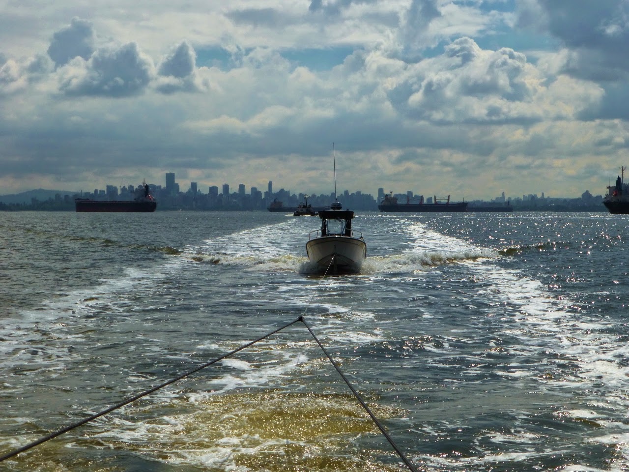
Weaving between the freighters departing English Bay
Birds on White Islets

Mary Island Lighthouse near Welcome Passage
After all the good food the last several days we just kicked back and had leftover ribs and potato salad for a late dinner as the sun dipped below the hills to the west of the anchorage.

Today we covered another 48 nautical miles and have now gone 133 nautical miles since Anacortes.

May 19, 2014


We had rain overnight, loud enough to wake us up, but that changed to light rain by dawn and just clouds by the time we pulled the anchor at 0730 and headed up Malaspina Strait.  The spot prawn fishery is in full swing with lots of pots in the water.
BC Spot Prawner with a crowd of hopeful seagulls
By 1030 we were abeam Grief Point, aptly named based on prior years storms, but today just rippled seas, partly sunny skies and pleasant temperatures.  Marine traffic was light, except for the number of boats fishing.  We diverted slightly to Powell River to see what shape the derelict concrete ships that form the breakwater were in, but little visible change from two years ago.
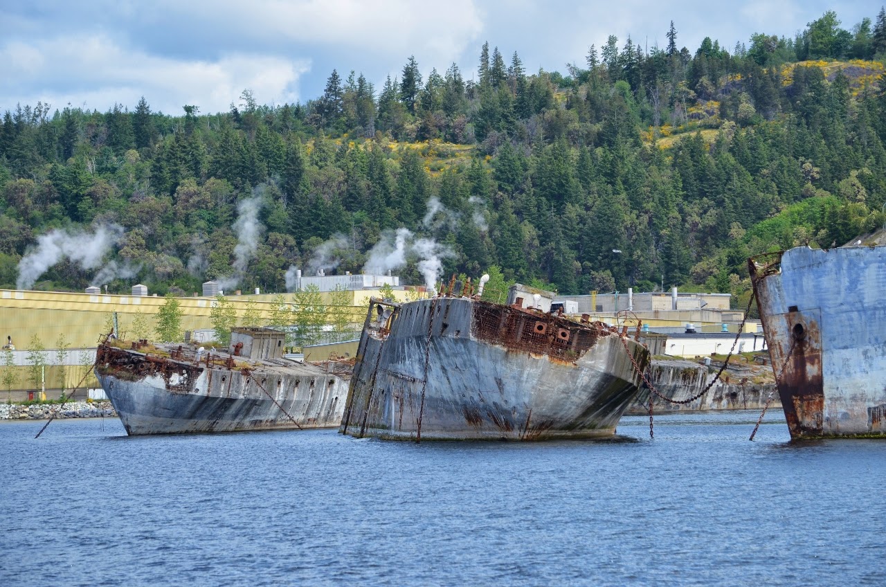
The concrete ship breakwater at Powell River continues to deteriorate
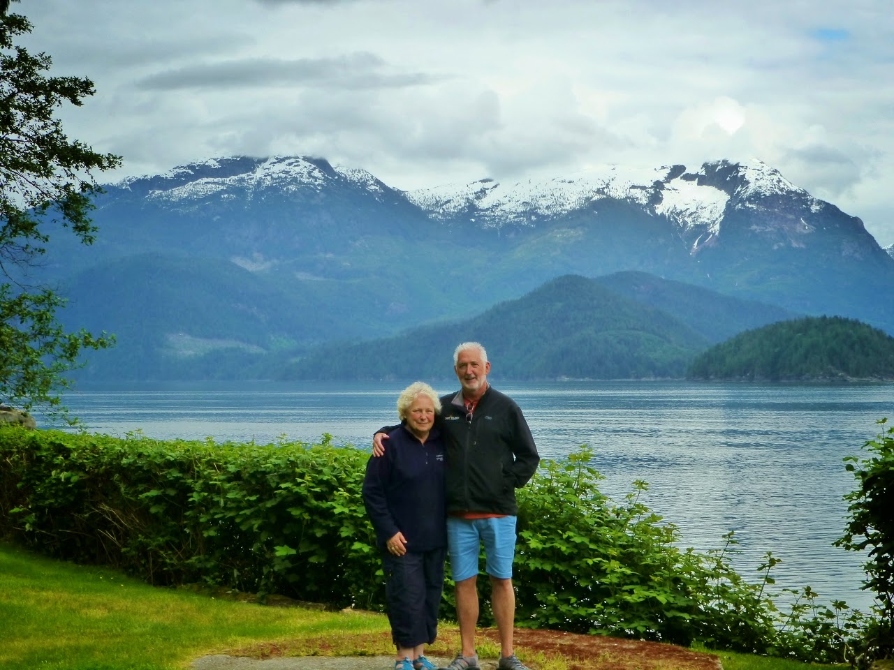
Entering Thulin Passage at 1230 we debated which anchorage would best suit us to make slack tide at Gillard Passage at 0944 the next morning, without having to get up before dawn.  Toba Wildernest Resort won out, since we had never been there before and all the other places were already familiar to us.  Proceeding up Waddington Channel past the oyster farms and across to Toba Wildernest, we finally docked at 1550.  Kyle and Andrea Hunter, who own the Resort and their daughter Rowan were on the dock to take lines.  The views of the BC Coastal Range from Toba Wildernest were spectacular, even shrouded in clouds.  After a tour of their facility, including the unique hydro power facility, we returned to Spirit to soak in the scenery after a 62 nautical mile day, with our total mileage now at 194.
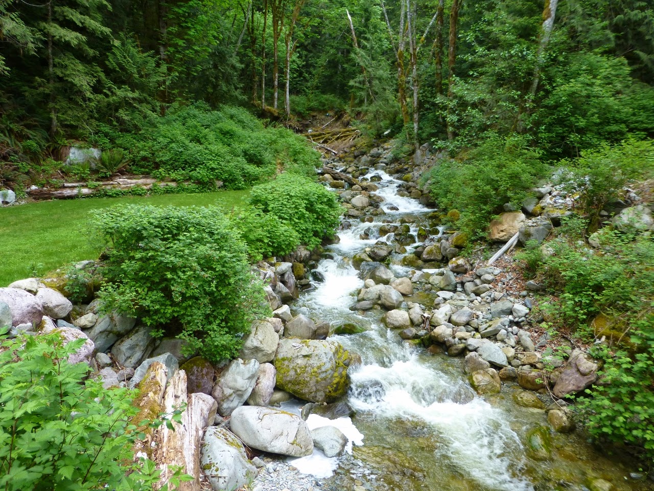
Toba Wildernest has great scenery

At Toba Wildernest with the BC Coastal Range in the background
May 20, 2014

Departing at 0630 under sunny skies we motored down Pryce Channel, Raza Passage and then Calm Channel.  Arriving early at Yuculta Rapids, with the current against us, we slowed down and waited 30 minutes until the current slackened a little.  We still arrived at Dent Island Lodge nearly one hour ahead of plan and were the only vessel.  Justin Farr, the general manager, took our lines and after settling in, Patrick prepared the Grady White for a fishing expedition.

The cook will not arrive until this afternoon, so we will cook our own dinner on-board, menu to be determined.

The Grady White handled the eddies and whirlpools nicely as Patrick headed back to Lewis Channel, where “Springs” (Chinook Salmon) had been plentiful the previous week.  Lack of maintenance on the downriggers (our fault) caught up to Patrick as a corroded wire broke, leaving 12 pounds of lead in 200 feet of water at the bottom of the channel.  Returning to Dent Island empty handed, new synthetic cables were purchased to avoid a repeat performance.

We have now traveled 204 nautical miles.

St Lucie Lock and Dam Marina and Campground

The St. Lucie Lock and Dam is located a little more than 15 miles upriver from the “crossroads” at the St. Lucie Inlet, the Atlantic Intracoastal Waterway and the St. Lucie River. Approximately 10,000 vessels transit this lock every year and the majority of them are recreational vessels. The Locks are operated from 7 AM to 7 PM, seven days a week. It takes about 20 minutes on average for boats to lock through completely. Signs indicate the arrival point on both sides and the Lockmaster is contacted on VHF Channel 13. He will give instructions to wait for the green light before entering and the Captain can choose the side of the lock on which to tie. Lines are dropped from the lock walls to secure the boat at the bow and stern as the water levels are raised or lowered. The Lockmaster announces when it’s safe to proceed after the lock gates are opened.


Ride along as we transit the St. Lucie Lock.
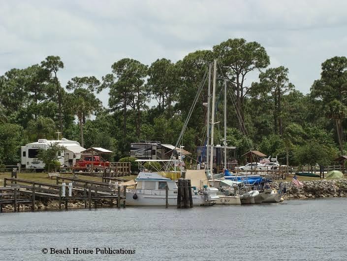
Immediately after exiting the Lock heading westbound, boaters will see a series of finger piers on their port side with space for eight boats. The finger piers are short, but with some creative tie ups, boats up to 40 feet have used the facilities. The slips are also narrow, making it difficult for two boats with wide beams to tie up in the slip. But if you find the space acceptable, this can be an excellent stopover along the Okeechobee Waterway and an excellent value for transient dockage. Daily fees are $24.00, a flat fee, and include power and water. If you happen to be 62 or over, you are eligible for a Golden Age Passport, allowing you half price entry to any national park, including the St. Lucie Lock and Dam Park. It’s hard to beat $12 per night for dockage that includes power and water! The signs near the docks say that there is a 14 day maximum, but the park has allowed boaters to stay a month or more. Technically there are four slips that can be reserved in advance and four slips on a first-come, first-served basis. The Park Rangers don’t seem to enforce this and at the time we were there, everyone had just arrived and paid the fees with no problem. Some boaters from Stuart make this an annual trek to get away from the hustle and bustle of the town for a while.
The Park is located quite a distance from any kind of shopping or restaurants so without transportation, there is not much to do except rest and relax and maybe get caught up on a few boat projects. As luck would have it, a couple of the boaters there had vehicles and offered rides to anyone that needed one. The campers in the RVs and travel trailers were also a friendly bunch and could be a source for a ride into the shopping centers if needed.
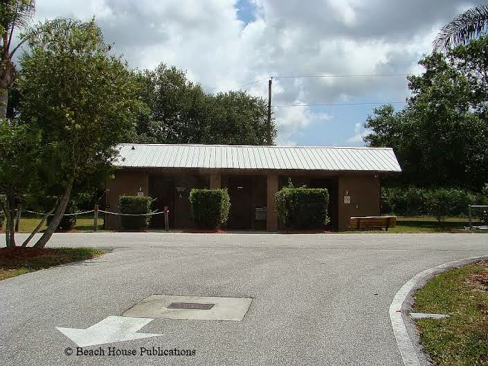
The Park has clean restrooms for the use by the campers and the marina. Each restroom also has a shower. These are cleaned daily by the Park employees and we found everyone very friendly and helpful. A large pavilion with picnic tables, a fire pit and charcoal grills made for an excellent evening get together spot for the boaters and some of the campers. Every afternoon and evening several of us gathered to share drinks, snacks and swap stories. It’s surprising how much the boaters and the campers have in common. We enjoyed the comradery and solitude so much that we decided to stay for a week and take care of some errands. Enterprise Rent-A-Car will pick up and drop off at the Park if a car is needed.
There are several smaller pavilions around the Park, all with charcoal grills and picnic tables. Walking is our exercise of choice and the Park offers a number of walking trails. There is a walkway across the entire lock and spillway to the other side of the river, where more pavilions and walking trails are available. The view from the lock is pretty incredible – just be sure to be off the gates when they open and close for passing boats. All kinds of wildlife can be found around every corner. Hawks, eagles and osprey soar overhead and the gators lounge in the sun along the banks of the river. You might even find a few snakes along the trail, so be ready for just about anything. A good insect repellent comes in handy for those times when the wind drops off and the little pests come out to feed. At the opposite end of the lock on the same side as the campground is a small visitor center. There are exhibits on the wildlife and history of the lock, and videos with interesting information. The Ranger at the center can answer any questions and they post the Lake levels daily from the Corps of Engineers website. We thoroughly enjoyed our time there and looked forward to getting to the park at the W.P. Franklin Lock on the other side of the Lake and farther across the Okeechobee Waterway. The Park there offers the same services. But that’s a story for another time.

Life in the Fast Lane: Yellow Flag on the Hudson

A yellow flag, or caution flag in NASCAR racing, requires the driver to slow down (due to an accident or hazards of the track).  We got a yellow flag in the form of a yellow engine alarm late in the day that slowed us down and required a pit stop….

Top Preforming Bed and Breakfast Award

Making Waves Boatel is recognised as a Top Performing Toronto Bed and Breakfast as Reviewed by Travellers on the World’s Largest Travel Site Toronto – May 20, 2014 – Making Waves Boatel today announced that it has received a TripAdvisor® Certificate … Continue reading

Patience, Patience, Patience

Our “plan” was to stay at the marina in Miami for three days (Friday, Saturday, and Sunday, April 25th through the 27th) and then anchor out in No Name Harbor at the southern end of Key Biscayne on Monday, April 28th, ready for an early departure the following morning. But as all cruisers know, so called “plans” are written in sand at low tide, subject to being washed away, and so it was with ours. Weather forecasts predicted that conditions would not be favorable for a safe, smooth Gulf Stream crossing for at least several days, so we would just have to be patient (not really one of our strong suits). Attitude adjustment, anyone?

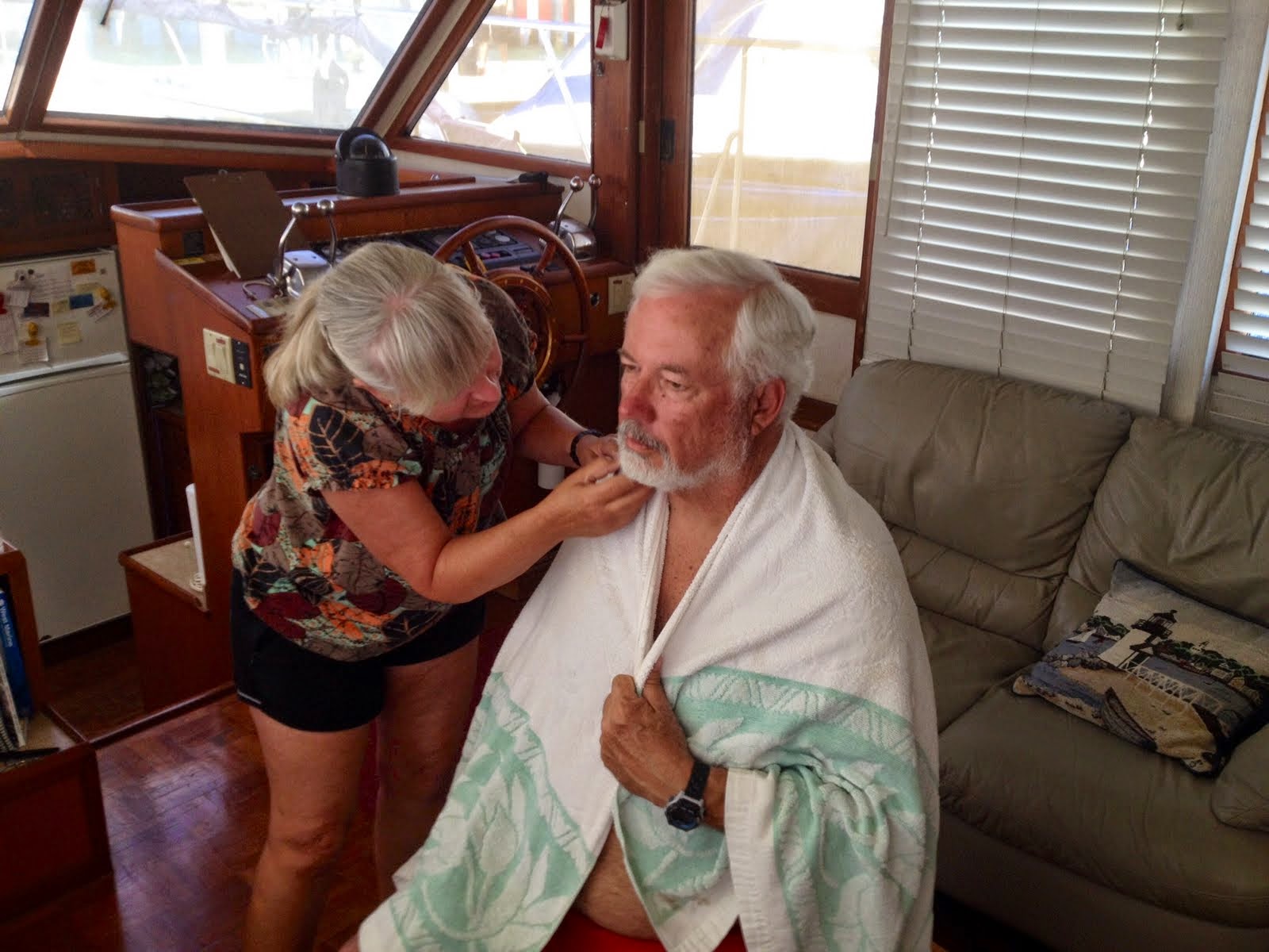
And there are always little chores that one can do to while away the time, such as giving Ken a haircut and beard trim. It has to be done sometime, right?

Of course, when conditions are not perfect for cruising, one can always rent a car and take a road trip, so we decided that a trip to Key Largo would be fun. By this time, our good friend, Don Graf (who was going to join us on our Bahamas cruise) had arrived, so off the three of us went, away from the hustle-bustle of Miami toward the laid back atmosphere of the Florida Keys.

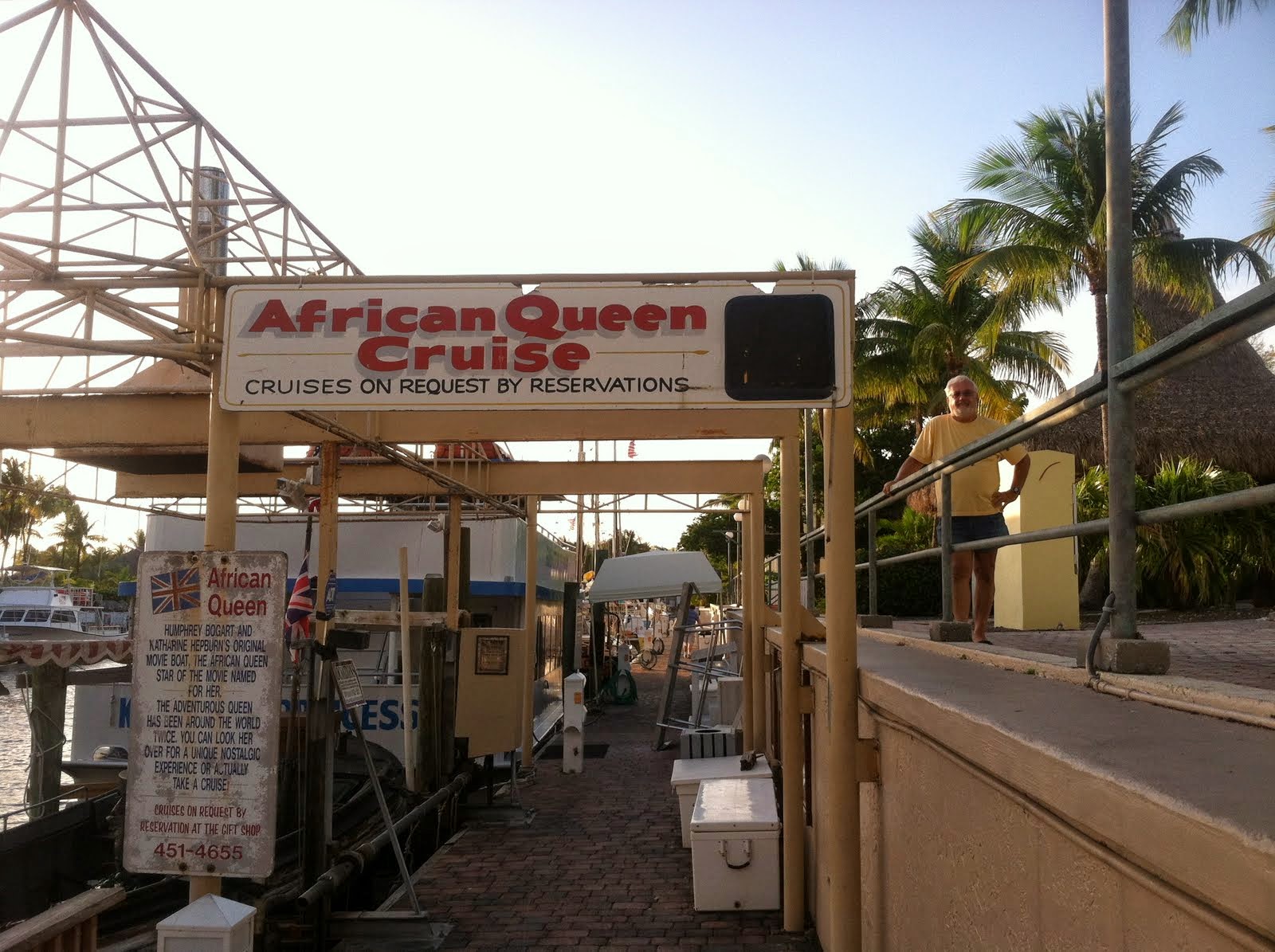
Many years ago we had visited Key Largo and remembered seeing the “African Queen” (from the movie of the same name starring Humphrey Bogart) moored next to a Holiday Inn, so we decided to see if it was still there. Guess what? It is! It’s now used for boat tours and charters.


Deciding to spend the night at this scenic spot, we checked in to the Holiday Inn and enjoyed a dip in one of their two swimming pools before deciding where to go for dinner.

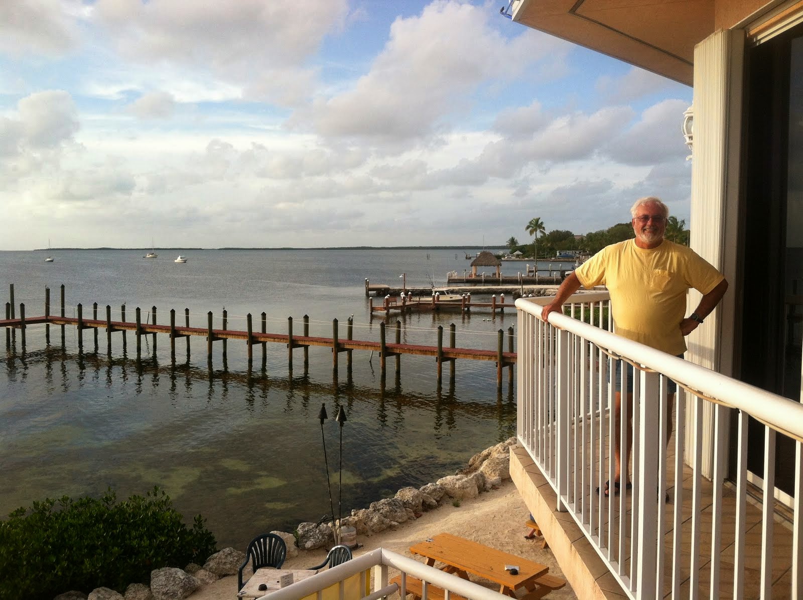
We ended up making a great choice, dining at the Bayside Grill overlooking Sunset Cove, very picturesque, with wonderful food.

Before heading back to Miami we decided to stop at John Pennekamp Coral Reef State Park, which is the first undersea park in the U.S., encompassing 70 nautical square miles. We had hoped to see the Visitor Center’s exhibits, but it was closed for renovation, so we checked out a couple of replica cannons from a 1715 Spanish shipwreck and then donned our snorkel gear for a quick dip in the water.

On Monday, May 5th, the weather window we were waiting for opened up, and we headed out into Biscayne Bay for a short, uneventful cruise to No Name Harbor (located inside Bill Baggs Cape Florida State Park), where we dropped anchor and prepared to dinghy ashore to pay the $20 fee required for an overnight stay.

Then, off we went on foot in search of the oldest structure in Miami-Dade county, the 95-foot-high Cape Florida Lighthouse. Of course, it was closed for renovation, but it was still a beautiful sight to behold in its lush, tropical setting at the southern tip of Key Biscayne.

After our long hot walk, we were ready for a cold beer and tasty lunch at Boaters’ Grill, conveniently located at the head of No Name Harbor.

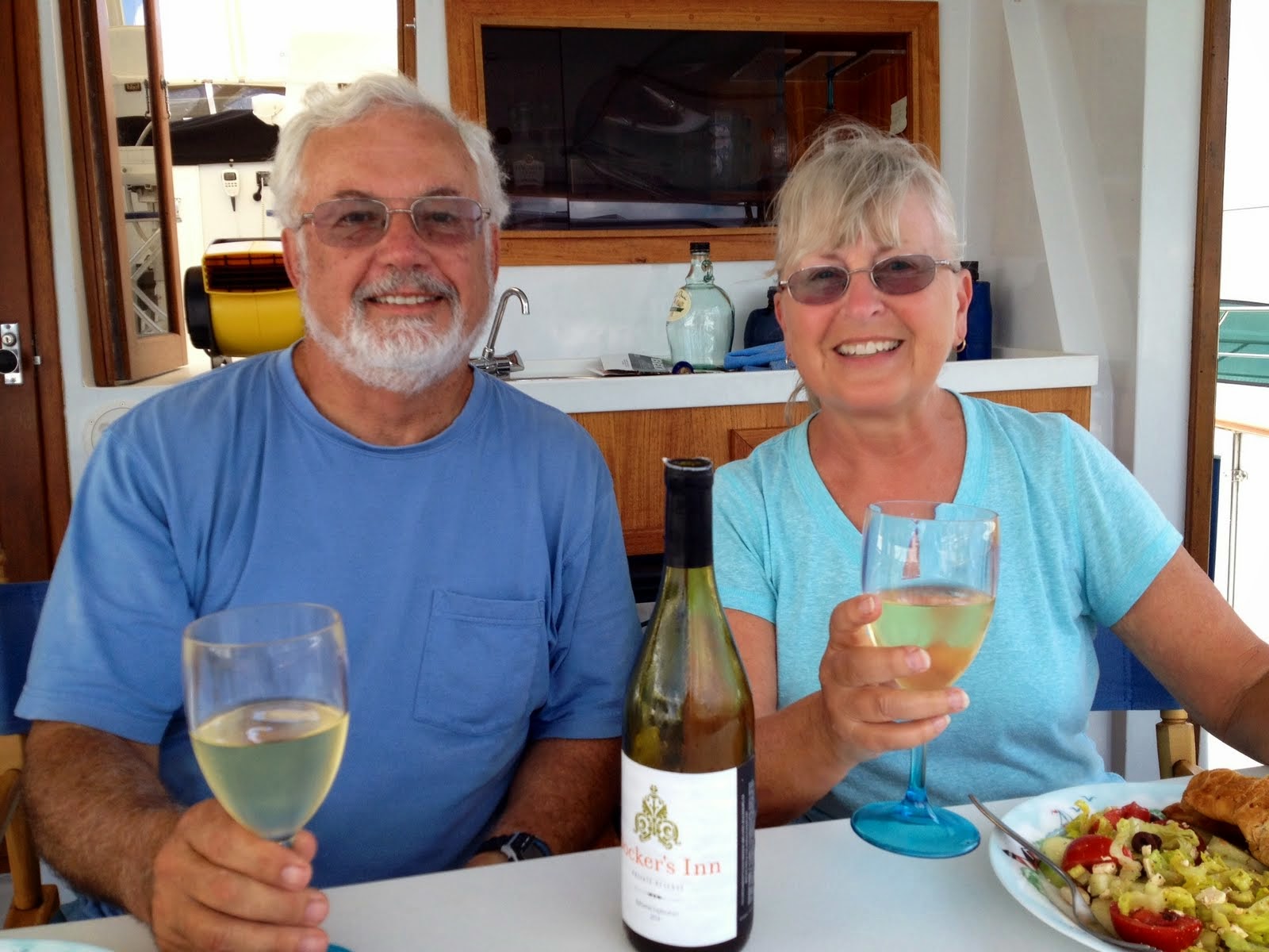
Back aboard “Docker’s Inn,” we spent the rest of the day soaking up the atmosphere of this marine environment, surrounded by several anchored sailboats which only added to the serenity of the scene.

As the sun set that evening, we felt more than ready to be on our way across the Gulf Stream the following day.

By 6:00 a.m. we were up, making final preparations for our departure, and expecting to see all of the folks on the sailboats around us doing the same. But, at 6:40 when we pulled up anchor and left the harbor, everyone else appeared to be staying put. So off we went, out the Cape Florida Channel toward the Fowey Rocks Light, whose position five miles offshore enables it to better guide deep-draft ships than the Cape Florida Lighthouse ever did.

From there we had plotted a course on our electronic chart plotter to Bimini, 50 miles east northeast of the Fowey Rocks buoy. Most of that distance we would be crossing the Gulf Stream, an actual river in the Atlantic Ocean which flows north with a current ranging from 1.5 knots on either side to 3 knots in the middle. Because of this we had to steer a course well south of our intended destination to allow for the current always pushing us northward. With east winds blowing at 10-12 knots and waves ranging from 1-3 ft. in height, it was a bumpy enough ride that we had to hang on to something most of the time, but overall, it wasn’t too bad. We did, however, have to carefully observe northbound and southbound freighters and tows in our path, three of which prompted us to temporarily change course and/or slow down to allow them to pass us, and thus, to avoid a possible collision.

At 11:40 a.m., less than five hours after leaving Key Biscayne, we first spotted land way off on the horizon, right where our GPS electronic chart plotter indicated that it should be. Almost simultaneously the bumpy sea began to calm down a bit, and we all breathed a sigh of relief, realizing that our long-awaited cruise to the Bahamas was really materializing at last. Not long after that the red rooftops of the Bimini Sands Resort and Marina on South Bimini came into view, and we knew that we were headed directly for the red and green buoys marking the entrance channel to both North and South Bimini.

A brief conversation with the harbormaster provided the instructions we needed to safely enter the harbor and find our reserved slip, and before we knew it we were there, tied up and raising our yellow quarantine flag, ready to clear customs and immigration. That process required the captain (Sharon) to fill out a bunch of forms and take a short taxi ride to the airport while Ken and Don sat on the aft deck of the “Docker” drinking beer and congratulating themselves on having the good sense to not be designated as “captain” of the vessel.

Finally, with passports stamped and $300 boat tax and fishing license paid, the quarantine flag came down and the Bahamas courtesy flag was raised, and we were free to check out our new surroundings. As we looked around at what this marina has to offer, we were very glad we had made this choice.

And now, having had to extend our stay here twice already due to windy and rough conditions in both the Gulf Stream to our west and the Great Bahama Bank to our east, we are still happy with our choice.  So, this is what it’s like to be stranded in paradise!


Patience, Patience, Patience

Our “plan” was to stay at the marina in Miami for three days (Friday, Saturday, and Sunday, April 25th through the 27th) and then anchor out in No Name Harbor at the southern end of Key Biscayne on Monday, April 28th, ready for an early departure the following morning. But as all cruisers know, so called “plans” are written in sand at low tide, subject to being washed away, and so it was with ours. Weather forecasts predicted that conditions would not be favorable for a safe, smooth Gulf Stream crossing for at least several days, so we would just have to be patient (not really one of our strong suits). Attitude adjustment, anyone?

And there are always little chores that one can do to while away the time, such as giving Ken a haircut and beard trim. It has to be done sometime, right?

Of course, when conditions are not perfect for cruising, one can always rent a car and take a road trip, so we decided that a trip to Key Largo would be fun. By this time, our good friend, Don Graf (who was going to join us on our Bahamas cruise) had arrived, so off the three of us went, away from the hustle-bustle of Miami toward the laid back atmosphere of the Florida Keys.

Many years ago we had visited Key Largo and remembered seeing the “African Queen” (from the movie of the same name starring Humphrey Bogart) moored next to a Holiday Inn, so we decided to see if it was still there. Guess what? It is! It’s now used for boat tours and charters.


Deciding to spend the night at this scenic spot, we checked in to the Holiday Inn and enjoyed a dip in one of their two swimming pools before deciding where to go for dinner.

We ended up making a great choice, dining at the Bayside Grill overlooking Sunset Cove, very picturesque, with wonderful food.

Before heading back to Miami we decided to stop at John Pennekamp Coral Reef State Park, which is the first undersea park in the U.S., encompassing 70 nautical square miles. We had hoped to see the Visitor Center’s exhibits, but it was closed for renovation, so we checked out a couple of replica cannons from a 1715 Spanish shipwreck and then donned our snorkel gear for a quick dip in the water.

On Monday, May 5th, the weather window we were waiting for opened up, and we headed out into Biscayne Bay for a short, uneventful cruise to No Name Harbor (located inside Bill Baggs Cape Florida State Park), where we dropped anchor and prepared to dinghy ashore to pay the $20 fee required for an overnight stay.

Then, off we went on foot in search of the oldest structure in Miami-Dade county, the 95-foot-high Cape Florida Lighthouse. Of course, it was closed for renovation, but it was still a beautiful sight to behold in its lush, tropical setting at the southern tip of Key Biscayne.

After our long hot walk, we were ready for a cold beer and tasty lunch at Boaters’ Grill, conveniently located at the head of No Name Harbor.

Back aboard “Docker’s Inn,” we spent the rest of the day soaking up the atmosphere of this marine environment, surrounded by several anchored sailboats which only added to the serenity of the scene.

As the sun set that evening, we felt more than ready to be on our way across the Gulf Stream the following day.

By 6:00 a.m. we were up, making final preparations for our departure, and expecting to see all of the folks on the sailboats around us doing the same. But, at 6:40 when we pulled up anchor and left the harbor, everyone else appeared to be staying put. So off we went, out the Cape Florida Channel toward the Fowey Rocks Light, whose position five miles offshore enables it to better guide deep-draft ships than the Cape Florida Lighthouse ever did.

From there we had plotted a course on our electronic chart plotter to Bimini, 50 miles east northeast of the Fowey Rocks buoy. Most of that distance we would be crossing the Gulf Stream, an actual river in the Atlantic Ocean which flows north with a current ranging from 1.5 knots on either side to 3 knots in the middle. Because of this we had to steer a course well south of our intended destination to allow for the current always pushing us northward. With east winds blowing at 10-12 knots and waves ranging from 1-3 ft. in height, it was a bumpy enough ride that we had to hang on to something most of the time, but overall, it wasn’t too bad. We did, however, have to carefully observe northbound and southbound freighters and tows in our path, three of which prompted us to temporarily change course and/or slow down to allow them to pass us, and thus, to avoid a possible collision.

At 11:40 a.m., less than five hours after leaving Key Biscayne, we first spotted land way off on the horizon, right where our GPS electronic chart plotter indicated that it should be. Almost simultaneously the bumpy sea began to calm down a bit, and we all breathed a sigh of relief, realizing that our long-awaited cruise to the Bahamas was really materializing at last. Not long after that the red rooftops of the Bimini Sands Resort and Marina on South Bimini came into view, and we knew that we were headed directly for the red and green buoys marking the entrance channel to both North and South Bimini.

A brief conversation with the harbormaster provided the instructions we needed to safely enter the harbor and find our reserved slip, and before we knew it we were there, tied up and raising our yellow quarantine flag, ready to clear customs and immigration. That process required the captain (Sharon) to fill out a bunch of forms and take a short taxi ride to the airport while Ken and Don sat on the aft deck of the “Docker” drinking beer and congratulating themselves on having the good sense to not be designated as “captain” of the vessel.

Finally, with passports stamped and $300 boat tax and fishing license paid, the quarantine flag came down and the Bahamas courtesy flag was raised, and we were free to check out our new surroundings. As we looked around at what this marina has to offer, we were very glad we had made this choice.

And now, having had to extend our stay here twice already due to windy and rough conditions in both the Gulf Stream to our west and the Great Bahama Bank to our east, we are still happy with our choice.  So, this is what it’s like to be stranded in paradise!


Anna Mae and crew in The Cayos De Albuquerque

After a hectic day of trying to clear out of Panama, a taxi ride to Colon and paper shuffling, we set out late on the afternoon of the 16th for our 215NM run to a tiny little island owned by Columbia, Cayos De Albuquerque. 
The water was bumpier than we anticipated. Leaving Shelter Bay, passing through the breakwater into The Caribbean and leaving The Panama Canal behind, the winds bounced around us blowing 25 knots. The wave heights hit up to 9’ averaging around 7’ at 8 seconds, Anna Mae performed flawlessly. 
The captain maintained a positive attitude, his first mate was not much help through the night. I’m glad to have Tom and Susanne on board. Early the next morning I managed to take a few shifts, I am experimenting with motion sickness medication, enough said…
By late afternoon of the 17th we could see our destination in the distance. A large reef surrounds the two islands of Cayos De Albuquerque with a tricky entrance of many shallow areas. One of the Islands is a Columbian military base and the other a small fishing camp. Our VHF radio sounded as we approached. A not so happy Spanish voice expressed in unfriendly terms that we were not welcome, although our Columbian Zarpe and crew list showed that we could drop our anchor in Columbian waters.
Bill and I had our eyes on the charts trying to decide which mapping program was the most accurate,  Nobeltec, Coastal Explorer or Navionics on my IPad. Tom and Susanne gave us hand signals from the bow. Watching the depth sounder made all of us very tense. Continually conversing with the Spanish voice on the VHF that we needed to anchor before the sun set. Attempting to maneuver out of the coral reef in the dark was not an option.
Eventually we found a spot to anchor and repeating No hablo Espanol Senor the gruff Spanish military voice relented and reluctantly allowed us to stay and we settled in for the night. 
We woke the next morning to blue skies, and a visit to The Columbian Military Base on the island. As we approached a very young man with a machine gun approached and escorted us through sandy walkways shaded with palm trees and lined with conch shells. I wanted to scoop up as many as I could, but was afraid that might be frowned upon by our Columbian friend with the machine gun, so I refrained. 
The military base is very primitive. The 20 or so soldiers on the island live in a small building with bunks stacked three high. None of them look to be older than 25 or 30. When they examined our passports, exit papers, Zarpe and crew list from Panama indicating our entry into Columbia they decided all was okay.  Several even smiled and attempted to joked with us. My Spanish isn’t great and Bill’s even worse. Bill was talking with them in his famous Spanglish dialect. They all laughed, I’m sure not with him but at him…
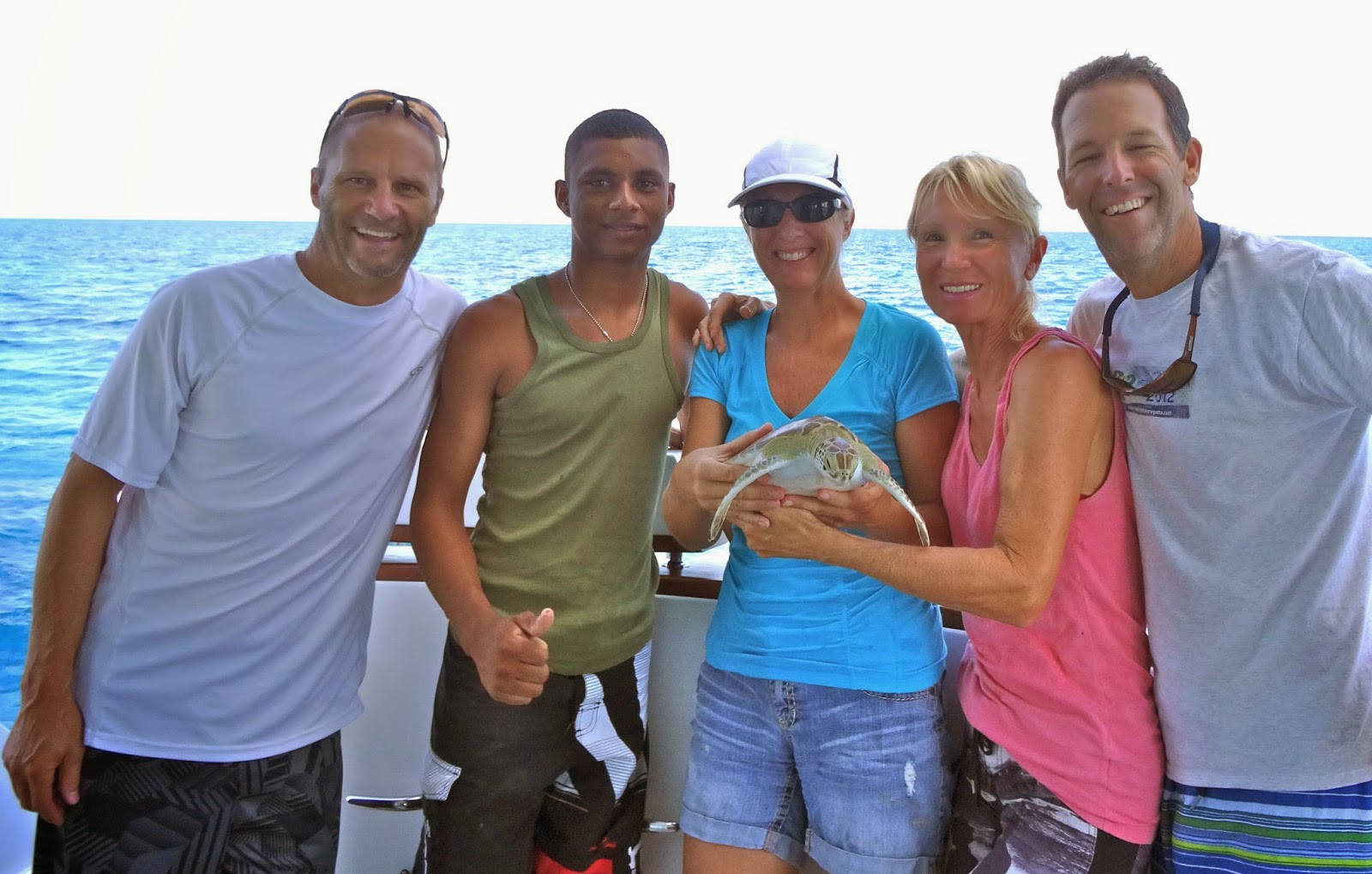
As we walked back to our dingy one of the soldiers knew I had my eye on the conch shells stacked in piles along the bank and lining the walkways. I wish I had a picture, but was told no photos permitted. One of the soldiers got a huge smile on his face and asked me to wait while he got something for me. I thought for sure I was going to add a big beautiful conch shell to my collection.(Cherie you would have been in shell heaven). Instead of the shiny shell I was anticipating he walked out from behind a palm with a live sea turtle and handed it to me. For the time being the shell was forgotten, I was instantly in love with the little turtle. 

Our new crew members.


My first thought was why do you have this little guy and please tell me you don’t eat them? They all laughed, indicated they they helped the turtles as they migrated to the island to lay their eggs. This little guy was about 5 years old. As I was holding him his front flippers slapped at my hands and he stretched his neck toward the water. 
Two of the soldiers asked to come aboard Anna Mae for a tour. The turtle was snuggled in my lap as we all made the short ride dingy ride out to Anna Mae. I petted the turtle behind his head and on his tummy, he was so soft.
After a quick tour of Anna Mae and a few pictures, we filled a bag with drinks and some food the soldiers could share with their buddies. We had a little ceremony when we set our turtle free, he swam away quickly with a smile on his face.
Today we snorkeled off the reefs surrounding the islands, the crystal clear water is beautiful with so many colorful fish and amazing sea life. We saw a large lion fish hanging out in a cave along with a multitude of colorful sea life. 
Anna Mae sits alone in this anchorage, it’s a beautiful area and from the sound of things not many boats are allowed to stay. We visited with a couple of fishermen that showed us their catch of the day. They dive down for conch, lobster and fish the various reefs. Most of them are from Isla San Andres. 
I’m happy to report a couple of additions to my collection, a mini conch and two puffy sand dollars. 

We are happily anchored in a little bay off Isla Andres. We hope to stay a few days and already talked with some locals that want to share a nice snorkel site with us tomorrow.
When my internet signal improves I will share some pictures.

Anna Mae and crew in The Cayos De Albuquerque

After a hectic day of trying to clear out of Panama, a taxi ride to Colon and paper shuffling, we set out late on the afternoon of the 16th for our 215NM run to a tiny little island owned by Columbia, Cayos De Albuquerque. 
The water was bumpier than we anticipated. Leaving Shelter Bay, passing through the breakwater into The Caribbean and leaving The Panama Canal behind, the winds bounced around us blowing 25 knots. The wave heights hit up to 9’ averaging around 7’ at 8 seconds, Anna Mae performed flawlessly. 
The captain maintained a positive attitude, his first mate was not much help through the night. I’m glad to have Tom and Susanne on board. Early the next morning I managed to take a few shifts, I am experimenting with motion sickness medication, enough said…
By late afternoon of the 17th we could see our destination in the distance. A large reef surrounds the two islands of Cayos De Albuquerque with a tricky entrance of many shallow areas. One of the Islands is a Columbian military base and the other a small fishing camp. Our VHF radio sounded as we approached. A not so happy Spanish voice expressed in unfriendly terms that we were not welcome, although our Columbian Zarpe and crew list showed that we could drop our anchor in Columbian waters.
Bill and I had our eyes on the charts trying to decide which mapping program was the most accurate,  Nobeltec, Coastal Explorer or Navionics on my IPad. Tom and Susanne gave us hand signals from the bow. Watching the depth sounder made all of us very tense. Continually conversing with the Spanish voice on the VHF that we needed to anchor before the sun set. Attempting to maneuver out of the coral reef in the dark was not an option.
Eventually we found a spot to anchor and repeating No hablo Espanol Senor the gruff Spanish military voice relented and reluctantly allowed us to stay and we settled in for the night. 
We woke the next morning to blue skies, and a visit to The Columbian Military Base on the island. As we approached a very young man with a machine gun approached and escorted us through sandy walkways shaded with palm trees and lined with conch shells. I wanted to scoop up as many as I could, but was afraid that might be frowned upon by our Columbian friend with the machine gun, so I refrained. 
The military base is very primitive. The 20 or so soldiers on the island live in a small building with bunks stacked three high. None of them look to be older than 25 or 30. When they examined our passports, exit papers, Zarpe and crew list from Panama indicating our entry into Columbia they decided all was okay.  Several even smiled and attempted to joked with us. My Spanish isn’t great and Bill’s even worse. Bill was talking with them in his famous Spanglish dialect. They all laughed, I’m sure not with him but at him…
As we walked back to our dingy one of the soldiers knew I had my eye on the conch shells stacked in piles along the bank and lining the walkways. I wish I had a picture, but was told no photos permitted. One of the soldiers got a huge smile on his face and asked me to wait while he got something for me. I thought for sure I was going to add a big beautiful conch shell to my collection.(Cherie you would have been in shell heaven). Instead of the shiny shell I was anticipating he walked out from behind a palm with a live sea turtle and handed it to me. For the time being the shell was forgotten, I was instantly in love with the little turtle. 

Our new crew members.


My first thought was why do you have this little guy and please tell me you don’t eat them? They all laughed, indicated they they helped the turtles as they migrated to the island to lay their eggs. This little guy was about 5 years old. As I was holding him his front flippers slapped at my hands and he stretched his neck toward the water. 
Two of the soldiers asked to come aboard Anna Mae for a tour. The turtle was snuggled in my lap as we all made the short ride dingy ride out to Anna Mae. I petted the turtle behind his head and on his tummy, he was so soft.
After a quick tour of Anna Mae and a few pictures, we filled a bag with drinks and some food the soldiers could share with their buddies. We had a little ceremony when we set our turtle free, he swam away quickly with a smile on his face.
Today we snorkeled off the reefs surrounding the islands, the crystal clear water is beautiful with so many colorful fish and amazing sea life. We saw a large lion fish hanging out in a cave along with a multitude of colorful sea life. 
Anna Mae sits alone in this anchorage, it’s a beautiful area and from the sound of things not many boats are allowed to stay. We visited with a couple of fishermen that showed us their catch of the day. They dive down for conch, lobster and fish the various reefs. Most of them are from Isla San Andres. 
I’m happy to report a couple of additions to my collection, a mini conch and two puffy sand dollars. 

We are happily anchored in a little bay off Isla Andres. We hope to stay a few days and already talked with some locals that want to share a nice snorkel site with us tomorrow.
When my internet signal improves I will share some pictures.

Day 129 – 365 Project…Wild Ponies

Welcome to day 129 of  365 photos…this afternoon found me in Beaufort, North Carolina and on a whim I decided to take a Waterbug Tour in hopes of seeing wild ponies or possibly some dolphins. Luck was with us today because there were two ponies, one of which was right on the edge of the… Continue Reading

The post Day 129 – 365 Project…Wild Ponies appeared first on Moosetique Musing.

Warning on Caframo Fans

We don’t have enough information yet to determine if our experience with the Caframo 747 fans are just an isolated case that only we have experienced, or whether this is a problem with other fans of the same model. On both our Mariner 40 ketch, Sea Tre…