
Bay de Vieux was a microcosm of our Newfoundland trip and a fitting final anchorage. There we enjoyed fabulous scenery, dramatic waterfalls, an excellent view hike and chatted with some friendly locals from nearby Ramea. Trip highlights from August 27th follow. Click any image for a larger view, or click the position to view the…
Tag Archives | Nordhavn
STUNNING SANTORINI
Envoy is currently still anchored at Ay Eufemia, Cephalonia Island.


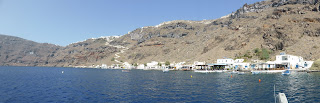

Diane’s sister, Sharon, and her husband Doug are meeting us in Santorini (or Thira as Greeks call it) so we cruise about 20 miles southwards from Ios Island with the Meltemi wind behind us and anchor off Akrotiri Beach (in fact more of a rocky foreshore than a beach) on the southern side of Santorini.
On a previous visit this was sheltered but as the Meltemi has been blowing for so long the uncomfortable remnants of swell is finding it’s way here and although our flopper-stoppers help reduce its effect we still roll around too much for comfort.
Ashore is a great taverna with amazingly friendly owners and staff who allow us to moor our RHIB in their tiny sheltered harbour with room for just a few dinghies and provide us with fresh water to fill Envoy’s tanks.
Envoy’s RHIB safe in taverna’s small private harbour

We enjoy spending some time sitting in their taverna rather than rolling around at anchor and later they generously give us a bag of fresh fruit and vegetables from their garden.
When we catch the bus to a small supermarket several kilometres inland the owners offer us a lift back and take us in an old ute with three of us and a friendly dog jammed into the front bench seat. Santorini is romantic, mysterious, hugely impressive and the classic Greek postcard island. In 1440 BC it was the scene of one of the largest volcanic eruptions in recorded history when the entire centre of the island, comprising some 30 cubic km blew into the sky, leaving a crater some six miles long and four wide, which filled with seawater to form the present cliff-lined Caldera. Cruising into and later looking down on the Caldera we can only marvel at the size of an eruption that could cause such a crater and a series of tsunamis estimated 60 to 100 metres high, moving at 160 km/hr, devastating Crete 60 miles away to the south and totally destroying the Minoan civilization.
The Caldera has hugely impressive steep rugged cliffs

The volcano is nowadays not extinct but dormant, with the last eruption in 1925 and a 7.8 Richter Scale earthquake causing major damage and loss of life in 1956.
Some historians speculate that Santorini is the location of the mythical island of Atlantis, which according to Plato was “in a single day and night of misfortune disappeared in the depths of the sea” and it is the island on which the Jules Vernes classic Twenty Thousand Leagues Under The Sea is based.
Santorini has notoriously poor shelter for visiting yachts, and the Cruising Guide recommends leaving your boat in the marina at nearby Ios Island and catching a ferry across. The Caldera is mostly too deep to anchor, and the marina on the south side of the island is very crowded and not possible to book in advance.
Sharon and Doug’s first day with us at Santorini

THE HOWLING
After Sharon and Doug join us at Santorini we head back to the relatively sheltered anchorage of Ormos Manganari on Ios Island and the wind just doesn’t drop, in fact for 20 days out of 22 we have winds well into the 20 knots, gusting high 30s and one day into the mid 40s. Winds like this produce white-capped wavelets even just a couple of hundred metres from the shore while the stronger gusts lift sheets of spray off the sea’s surface. This frequently makes getting ashore in our RHIB a challenge and sometimes impossible and we are certainly over the howling noise the wind produces from about 15 knots.
We have excellent ground tackle so dragging our anchor isn’t an issue but we have to keep a close watch on other boats, particularly charter yachts anchored close by.
I see one yacht’s outboard-powered RHIB flip upside down in the strong wind (this is common so never leave an outboard on a small tender in strong winds). Later the yacht’s crew attempt to paddle ashore but are unable to make headway and get blown well downwind so Diane and I leap into our RHIB and “rescue” them.
Our destination is Crete in the southern Aegean and we finally see a break in the weather and head back to Santorini for an overnight stop on our way to Crete.
Santorini is a place everybody should visit and it’s great for stunning scenery, shopping and restaurants with lots of beaches to cool of and quieter parts of the island where you can avoid the large numbers of tourists and commercialism. It consists of a group of several islands very close together and other cruisers had told us that Captain John’s restaurant in Ormos Ay Nikolau bay on the eastern side of Thirasia Island provide free moorings, so we head there, not wanting to risk rolling around at anchor off the south coast’s Akrotiri Beach again.
This bay has little wind and is flat calm with only an occasional wake from passing boats and two of Captain John’s staff jump in their dinghy to help us moor Envoy’s bow and stern to buoys just a few metres from shore, the water being very deep. The best way of securing to a buoy is to pass a long line through the buoy’s holding point (usually a loop of line under the buoy attached directly to the buoy’s mooring chain) and make both ends fast aboard your vessel. Then you can easily remove your lines when you want to without having to leave your boat. These guys tied the end of our line to the buoy’s holding point making it impossible to remove except from a dinghy and although I intended to correct this later we have to hurry to catch a ferry across to the main island and I forget about it.
Envoy moored between two buoys outside taverna

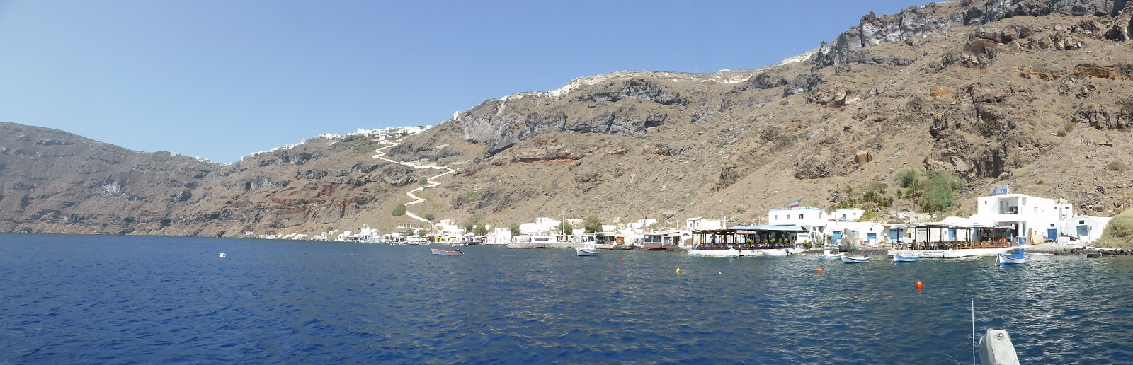
Tavernas and mooring area at Santorini’s Thirasia Is
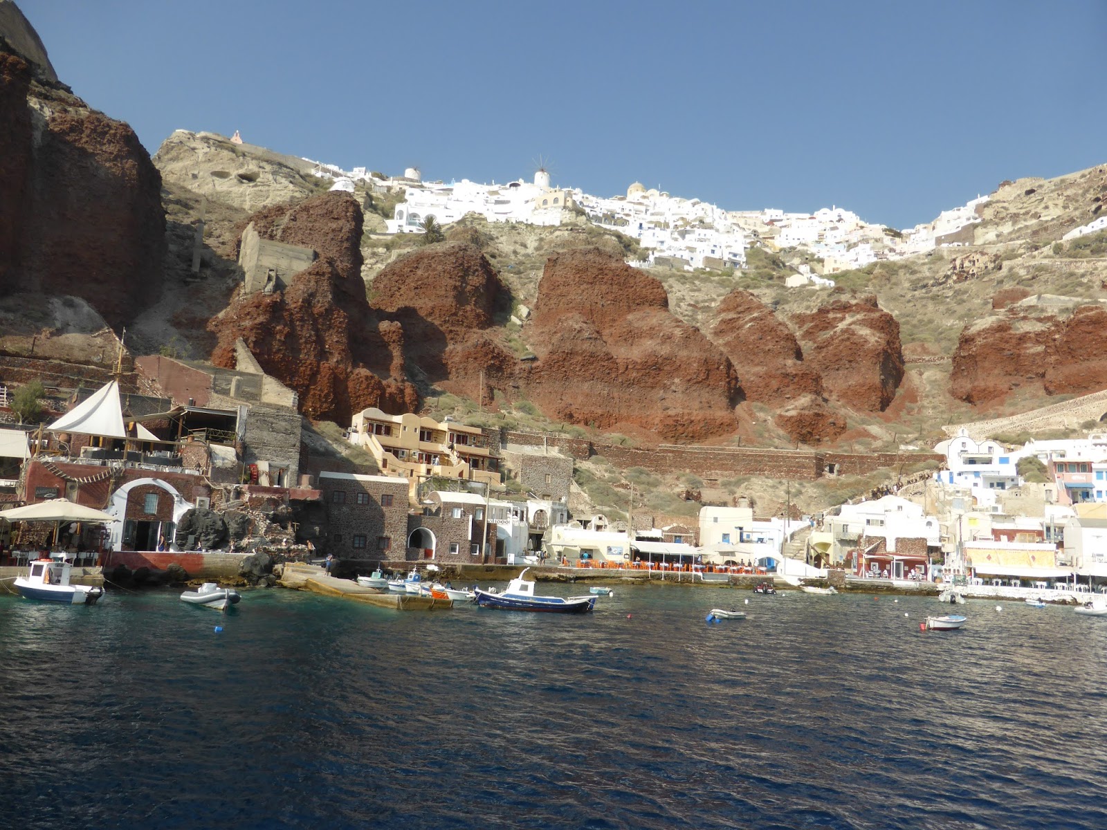
Picturesque village on Santorini where ferry from Thirasia takes us
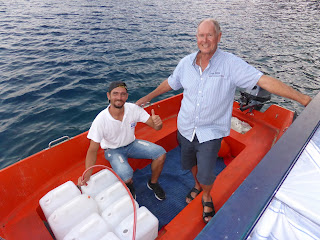
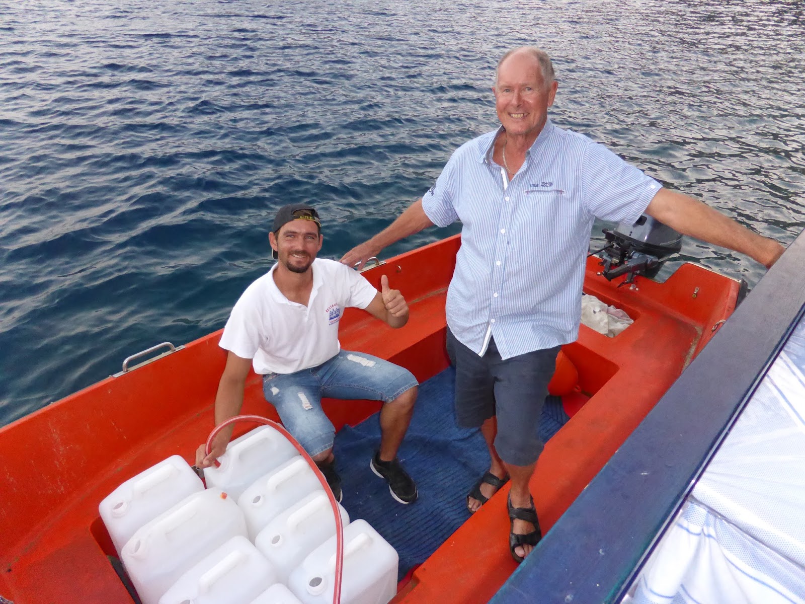
One of the taverna staff uses their dinghy to help load our water containers aboard Envoy. He’s much younger than me so the lifting help is appreciated
Next day we make an early start to cruise about 65 miles to northern Crete, but now the wind has increased a little to about 15 knots on our beam making it difficult to untie the less-than-professional knots in our lines. We retrieve the bow line by using a double-ended second line to take the strain so that the original line can be removed, but the stern line is secured to a smaller buoy which has been pulled underwater by the strain, so not wanting to delay our departure I have to cut the line as close as possible to the knot, losing about a metre of line in the process and learning a useful lesson about getting mooring lines deployed correctly in the first place.
We continue on to Crete taking about 12 hours in following winds up to just 15 knots and seas of one metre.
IOS ISLAND – PACKAGED HEDONISM
Envoy is currently anchored at Ay Eufemia, Cephalonia Island back in the Ionian Sea.




From Sikinos it’s just five miles east to Ios, inhabited for thousands of years by Macedonians, Ionians, classical Greeks, Romans, Byzantine crusaders and Venetians – interspersed with pirates.
We anchor in a large sandy bay called Ormos Milopotamou offering near perfect shelter from the 25 knot gusting 35 knot winds forecast. Although the shelter is good it’s a real tourist mecca with hordes of sun-worshipers decorating the beach, high-powered motor boats towing skiers and banana boats around the anchorage and tavernas belting out loud monotonous music – it’s anything but quiet. We seem like the oldest people here and Lonely Planet describes Ios as “packaged Hedonism”.
Ios’s Ormos Milopotamou beach
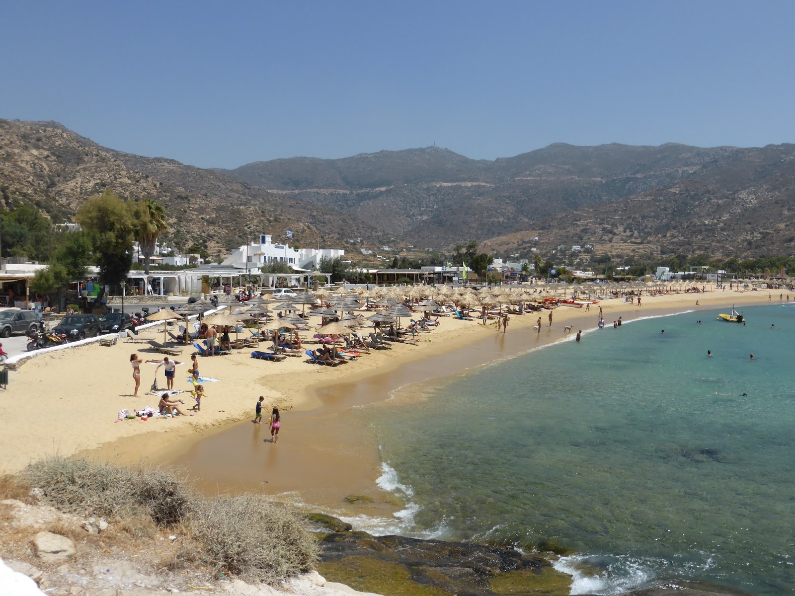
The sports boats travel at high speed dangerously close to swimmers and other boats as their drivers give friendly waves, but nobody seems to care – it seems here in Greece rules are made to be broken.
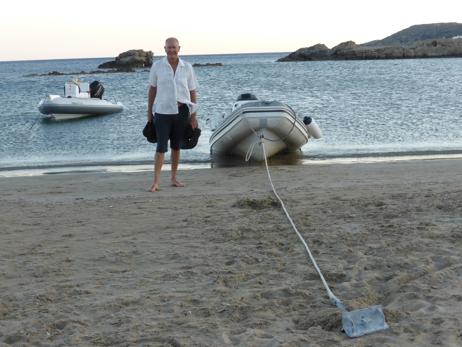
Often it’s hard to find a place to leave our RHIB when going ashore. There’s no jetty to secure to and it’s not allowed to take your RHIB through the swimmers to the sandy beach.
Here Laurie has laid a stern anchor and secured the RHIB’s bow to a rocky platform to get ashore.

Ashore there’s plenty of places to re-stock provisions and there’s a bus service to the hilltop Chora, which unlike recent ones we’ve visited is sizable and interesting with the usual whitewashed buildings and narrow cobbled lanes lined with shops, cafes and tavernas.
Below the Chora on the island’s north-western side is the ferry port, also lined with quaint tavernas and although this harbour has great shelter, yachts are not allowed to anchor here as large ferries need the turning space.
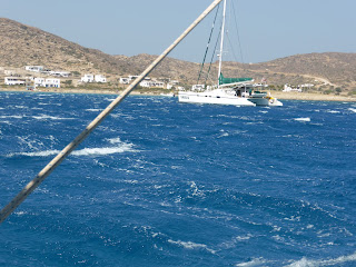
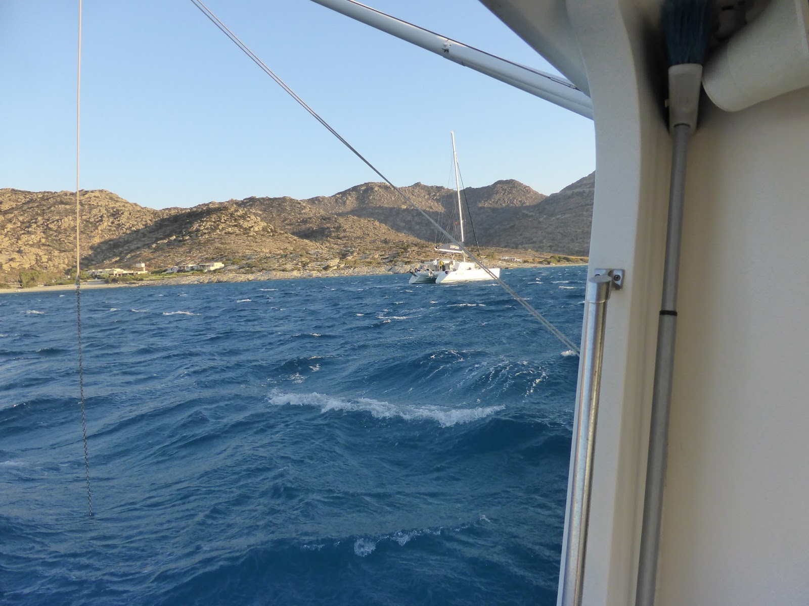
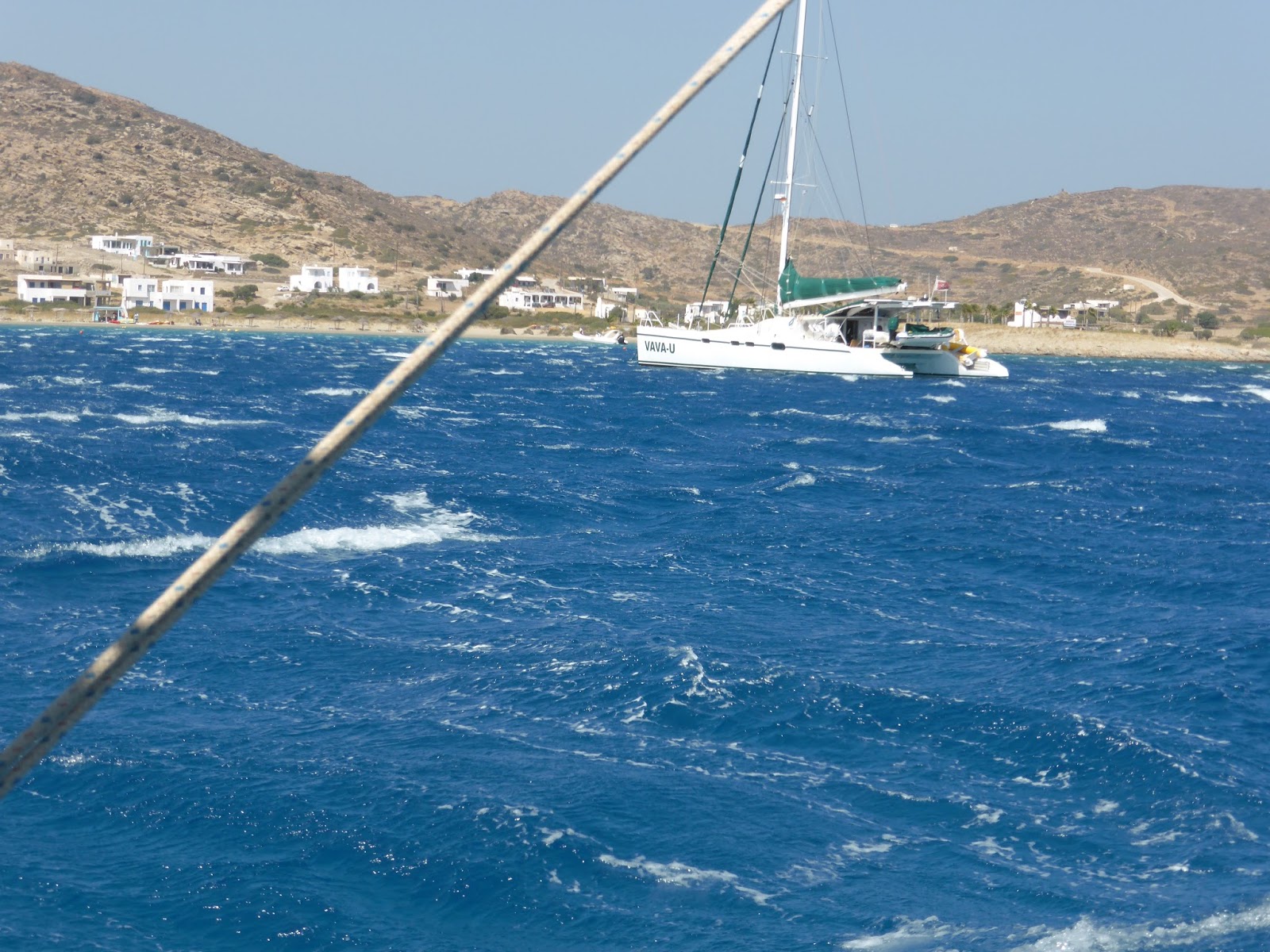
Just one hour’s cruise south is the more remote and quieter bay of Ormos Manganari and here we spend much of the next few days sitting out the Meltemi (strong northerly wind). The wind is so strong that there are sandstorms on the beach, water is lifted in sheets of spray off the sea’s surface and we can’t come ashore during squalls.
Photos of choppy seas often don’t come out that well, but these two may give an idea of the conditions at anchor close to shore with an offshore wind, taken from Envoy
Laurie relaxing with a glass of wine on a more settled day

Envoy anchored off Ormos Manganari few days later in settled weather

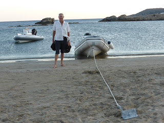
Beaching our RHIB ashore for an evening drink at Ormos Manganari
Ios is noted as the island nudists come to, but we haven’t seen any evidence of that so far.
From Ios it will be an easy “downhill” southerly cruise to Santorini where we meet our next visitors.
FOR FOODIES
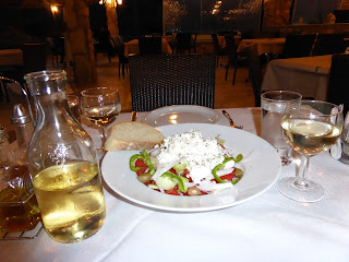
Ios has some great local soft cheese made from goat’s milk, something between feta and yoghurt and used in Greek Salads.
The wine in this Greek salad photo is cheap locally produced house wine but has a superb colour and aroma, tasting quite reasonable too

Maretron N2KView on Dirona
When we go to sea in Dirona there are usually only two people on the boat. That means automation and reliability are super important to us, and we want early warning of problems or unusual conditions. Maretron N2kView is a good-value display system that has worked very well for us and allowed us to incrementally expand what…
Grey River
The narrow entrance channel to Grey River is a gap in the cliffs only 450-ft wide and hardly is visible until you are right up to it. We’d timed our entrance for low-water slack as an ebb current against wind and swell can generate steep and rough seas outside the entrance. Even without any opposing…
La Hune Bay
We entered La Hune Bay past a stubby light perched above a helicopter service pad on a steep, barren cliff. The light and the abandoned community of Cape La Hune gave the place an even more remote feel than some of our other anchorages, as if nobody had been there for a very long time….
MORE ISLANDS IN THE SOUTHERN CYCLADES
Envoy is currently anchored off Koroni on the way back to the Ionian Sea.
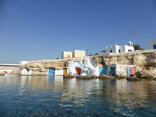
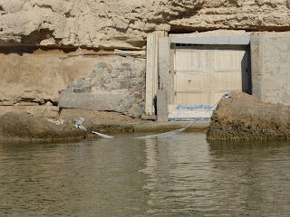


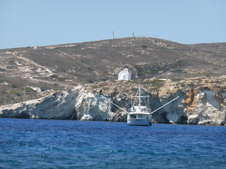
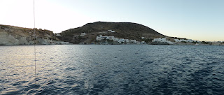
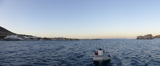
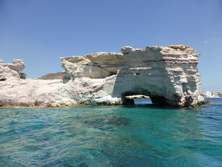

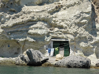
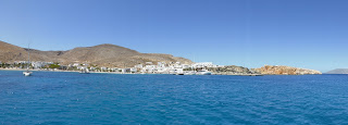
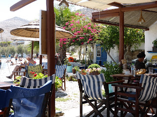

With the wind forecast to turn to a rare, comparatively light, 20 knot south-westerly (it’s mostly from the north) we cruise to shelter on the northern side of Milos island and find a delightful anchorage at Mandrakia. In total contrast to Adhamas this is just a secluded bay with several holiday villas and one atmospheric taverna ashore overlooking a beautiful tiny shallow harbour, suitable only for very shallow-draught boats and surrounded by rustic holiday homes, mostly built into sea caves.
We go ashore here to enjoy the spectacular view and a cold beer or two.
The Mandrakia harbour

A great cool place to sling a hammock

View from the taverna

Octopuses hang to dry outside taverna

Envoy in the Mandrakia anchorage

But the southerly change is only for one night and it’s back to strong northerlies again, so next day we cruise about an hour to anchor off Psathi on the island of Nisos Kimolos. The anchorage is interesting and quiet with only us there and a small hospitable village to explore.
Envoy at anchor in Nisos Kolomos
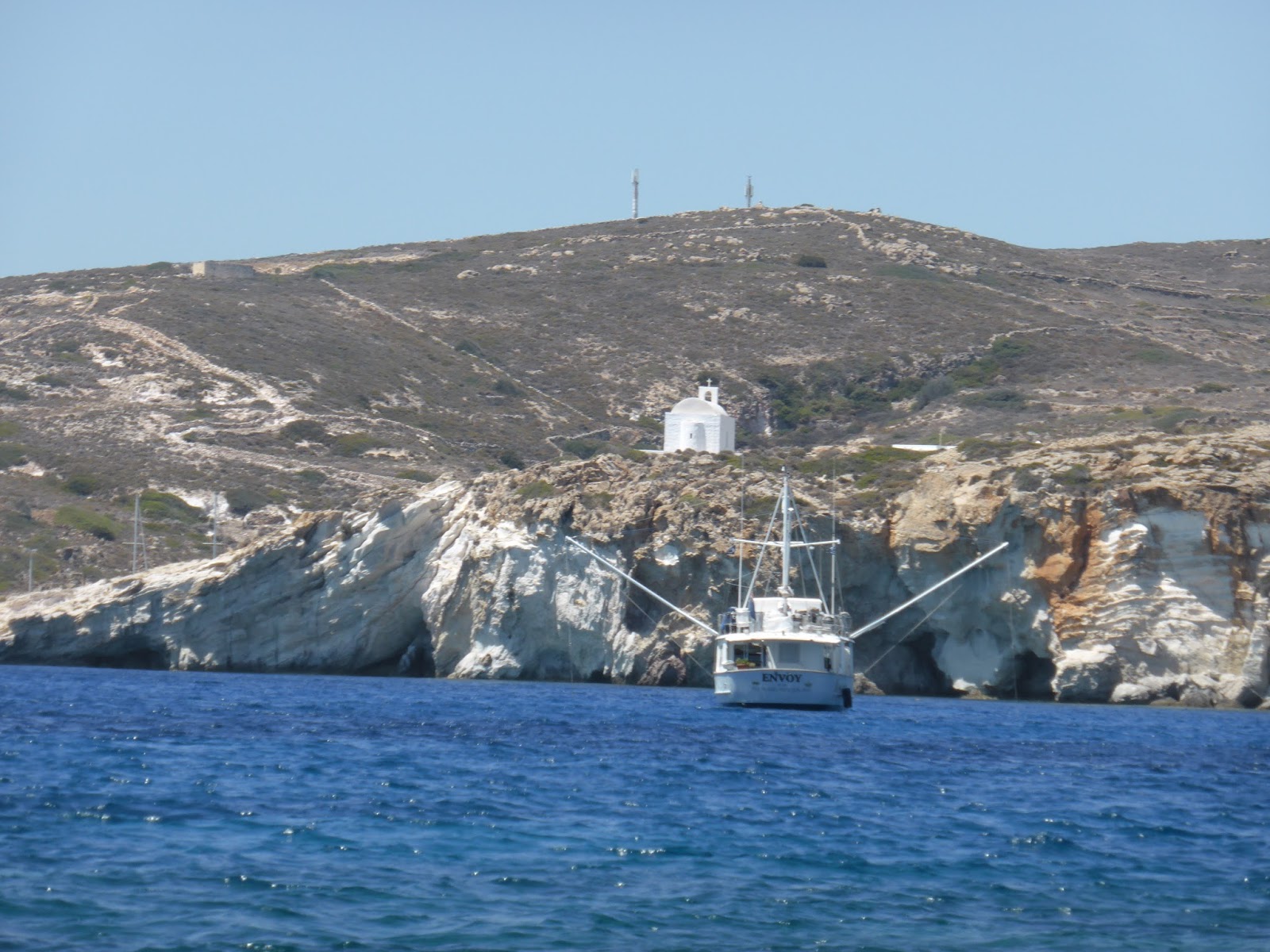
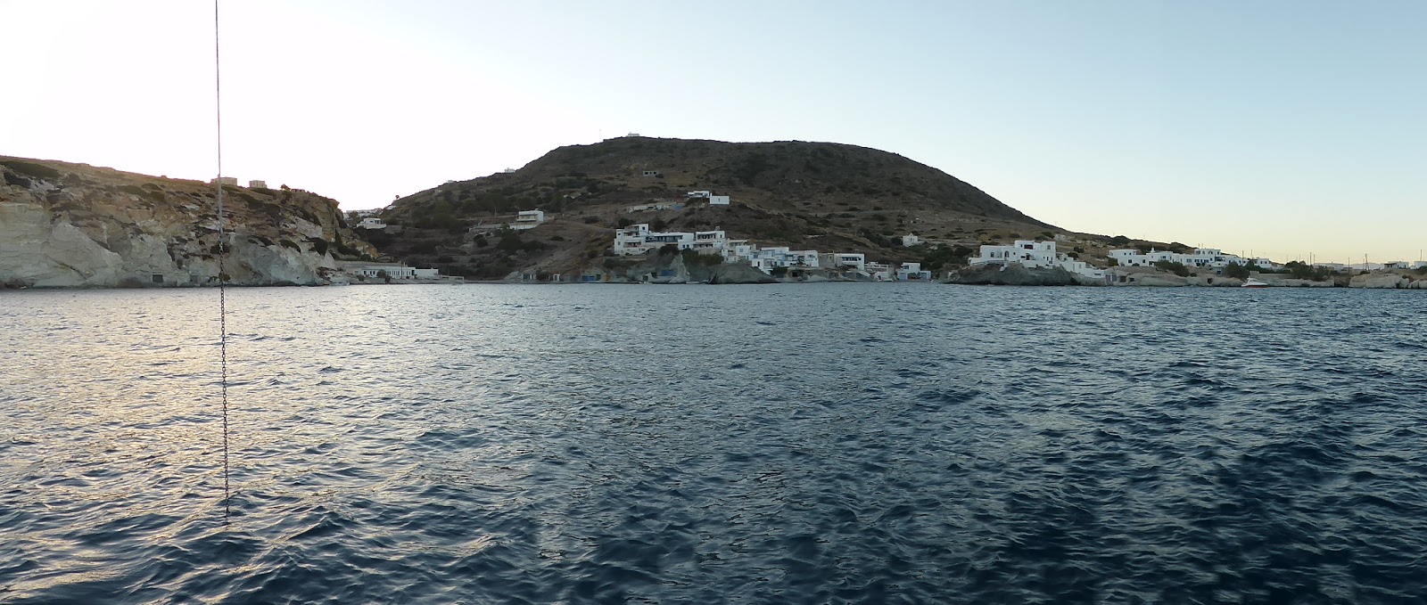
Two views of our anchorage

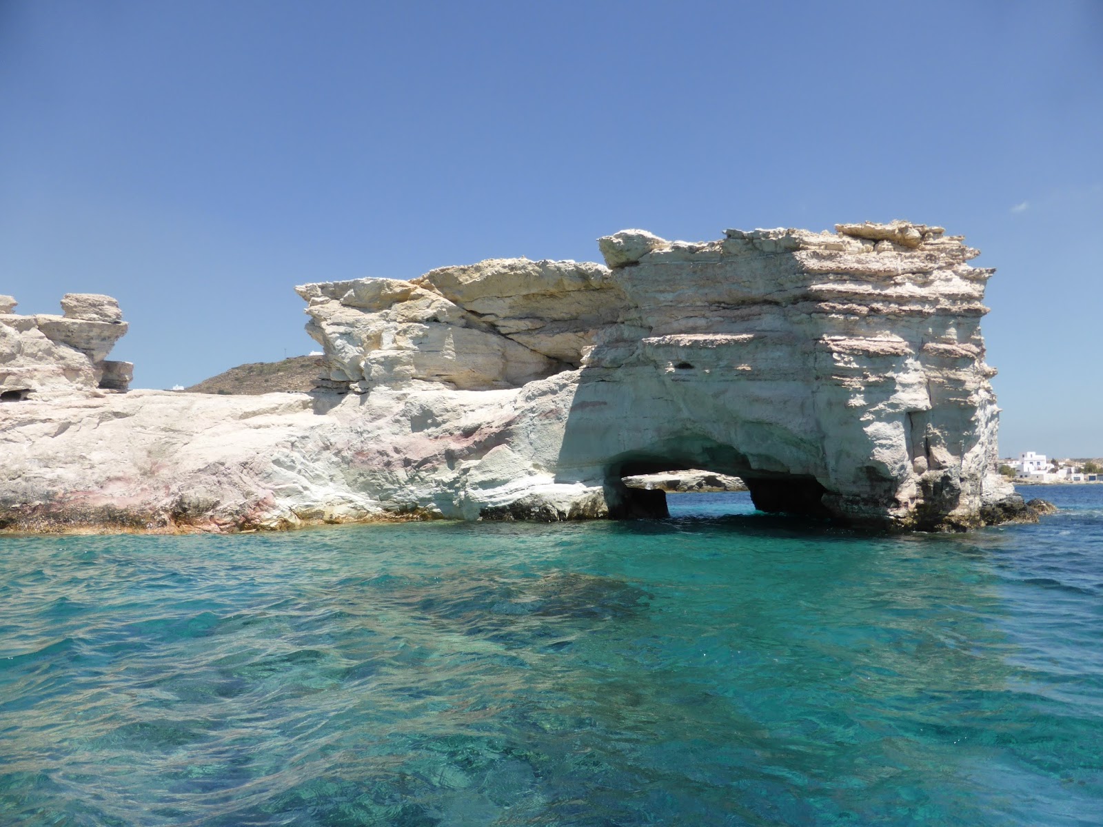
Interesting rock formations close to Envoy at anchor
These holiday homes are built into sea caves – well it saves excavation costs!

Close-up of sea cave holiday home
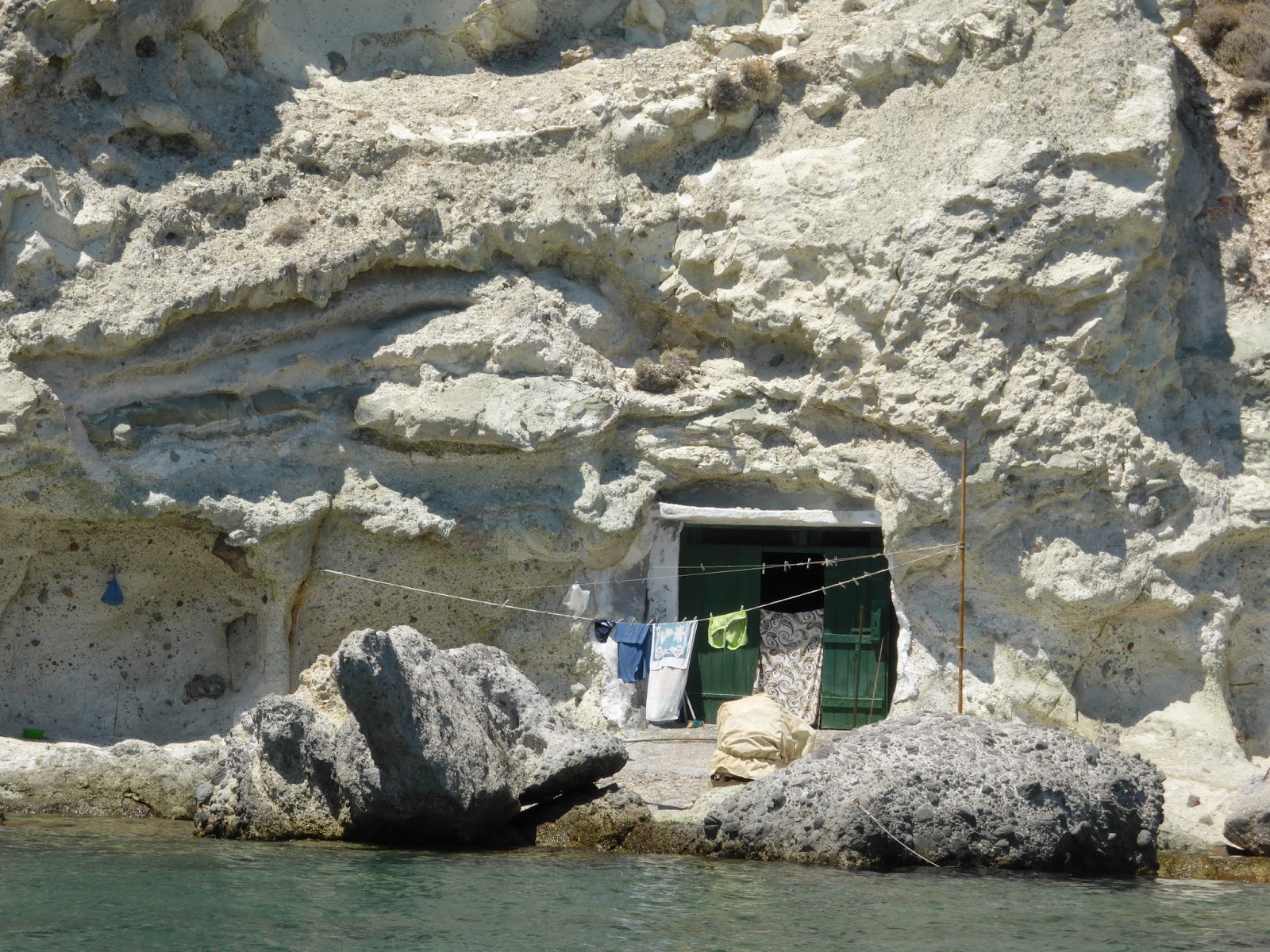
Again we take a bus to visit the hilltop Chora and again find it disappointing. Maybe we’ve seen a few too many of these?
Still needing to head east we cruise to Karavostasi on the dry, barren island of Folegandros. The uncrowded anchorage is picturesque and ashore is interesting for a wander around followed by a cold beer in a quaint beachside taverna – now there’s a familiar story!
Folegandros harbour

Beachside taverna Folegandros harbour
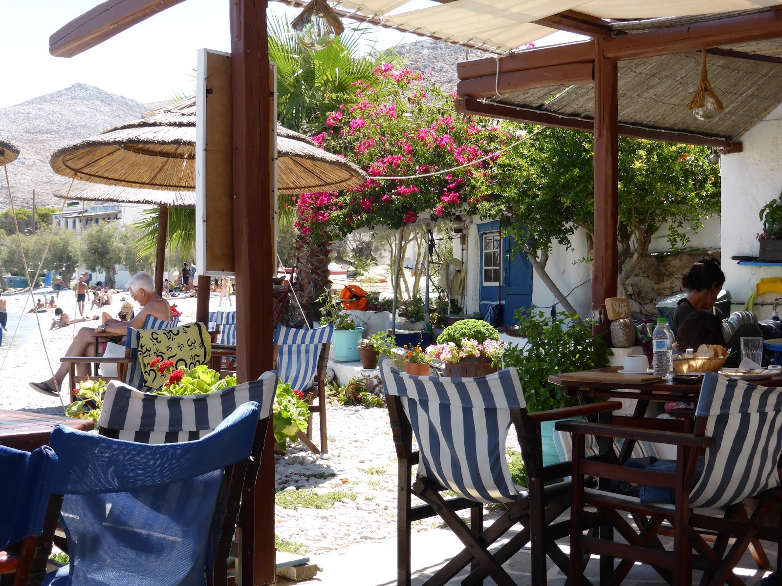
The winds from the north have been exceptionally strong for the last few weeks and dictate our daily planning to a great extent. Here in Folegandros it has been sheltered with the 20 knot wind from the north-west but now it moves to the north and even this small change of direction sends an uncomfortable swell into our confined anchorage. Several boats depart followed shortly by us as we head for the island of Sikinos. The wind is now gusting 25 knots and the seas are much rougher than we expected – six to ten feet high, close together and breaking. We’re towing our RHIB and Di says she has never seen it on top of a wave that much higher than Envoy before.
The stabilisers are finding it hard to cope with the short, steep, breaking seas exactly beam-on and a few things fall out of their storage positions – something that rarely happens aboard Envoy, so we alter course away from the present direct line to our destination and take the seas at an angle of about 25 degrees to the beam, noticing an immediate and welcome improvement. These are not the conditions in which we’d want anything to go wrong or to have nervous guests aboard.
I haven’t put my finger on the reason why, but the seas in the Med can get more vicious than one would expect for any given wind strength.
We’re glad to reach the lee of Sikinos and anchor off the only shelter the island offers – Skala Sikinos. We’re the only boat here and the small village is great to wander around and peaceful with few tourists, however the anchorage is very small and close to a ferry turning area. Shortly after midnight I’m awoken by the sound of throbbing engines and a rattling anchor chain, and go on deck to look into the beam of a searchlight shining down from the bow of a ferry about 10 metres above me and only 20 metres away. Fortunately these ferry captains know what they’re doing but it’s a bit nerve-wracking and after the same thing happens soon after daylight and a ferry crew member politely hails down to us that we should move further from the jetty we decide to move on as there’s nowhere here for us to re-anchor safely in the strong winds.
Huge ferry looms close high above Envoy

Aviron Bay
You’d think by now that we might be getting tired of yet another view hike with a waterfall. Not yet. But even if we were, Aviron Bay would perk us right back up again. There we anchored off a one thousand-foot waterfall and climbed to the clifftops for sweeping views of the anchorage and surrounding…
Hare Bay
We’d been told that we couldn’t really say we’d been to Newfoundland without sighting a moose, but we’d not seen one yet. We’d seen moose dropping and moose tracks, but no moose. We have been up on the highest points in the area where we can see for miles in all directions with unbroken hills…
[KensBlog] Roche Harbor, Our Home Port
|
||||||||||


