
For several decades, I wrote occasional magazine articles about boating. Then this blog. Then my Bleecker Mountain Life blog. I then decided to write books. In 2016, I wrote three.The first is non-fiction, and titled “…
ENVOY’S FIRE DAMAGE ASSESSMENT COMPLETED
We are staying ashore in a country area 10km from Lefkas Marina, Greece where Envoy is on the hardstand.
Vassilis warned us about snakes and although we haven’t seen any near the house we’ve seen two slithering across the road to Lefkas.
Vassilis warned us about snakes and although we haven’t seen any near the house we’ve seen two slithering across the road to Lefkas.
Following heat, soot and smoke damage to Envoy caused by fire on a nearby boat the clean up has finished and today Tuesday the surveyor, together with the contractor who will be doing the repairs, visited for the second time to fully assess the actual damage. This was mostly about determining which GRP areas need repairs to the GRP, which need painting and which only need polishing.
The next steps are the contractor has to prepare a detailed quote for every item that needs repair, discuss it with me on Friday, then pass it to the surveyor who will pass it on to the insurers with his recommendations. The one contractor is quoting for everything and will engage subcontractors (eg for rigging, upholstery, glazing) as needed. The surveyor says we should have the go-ahead to start work about mid next week and the contractor advises he can start within a couple of days from then.
The nature of the issues hasn’t changed from our previous postings except that our large RHIB stored on the starboard side upper deck, facing the fire, will need a new pontoon cover (known as “chaps”) and its hull (slightly discolored by heat) painting.
Everyone knows me as an optimist, but I can’t see this being finished much before the end of June (that is 6 weeks) and maybe that’s optimistic. The contractor will be giving me his time estimate with the quote.
Of course things are still happening that aren’t related to the fire.
We’ve successfully tested much of Envoy’s equipment but lots of other equipment can’t be tested until we’re back in the water.
We’ve taken six fire extinguishers and two inflatable life jackets in for periodic routine servicing.
Or smaller 2,7m “Valiant” is being repaired due to a sea water leak through the transom and is turning out to be a bit of a major with the repair cost about one third the cost of a new one. But we’re assured it will be like new so proceeding with the repair.
Sailand are about to start some work including:
– remove keel cooler for periodic servicing involving dismantling and internal and external cleaning, plus remove and re-seal its through hull fitting
– replace leaking domestic fresh water filter housing
– replace failed Robertson auto pilot sender unit with new one
– replace fresh water purifier’s u/v lamp
Next update mid next week should include the repair work’s start date and estimated completion date.
Meanwhile our daughter Amy is with us and tomorrow we’re heading away for a three-day drive to some scenic Greek mainland areas.
[kensblog] It’s 2017. What are our cruising plans?
Greetings all! Roberta and I will be off to a slow start on our cruising this year. Over a decade ago I was told I needed a new right knee. I ignored the Doctors and the knee got worse. Finally, this year it became obvious that I could delay no fur…
[kensblog] It’s 2017. What are our cruising plans?
Start your own blog now! Free!
A Shipping Adventure
Idyll Time is now on her way to the Pacific North West! With confirmation that the Clipper Nassau, our transport ship, was nearing West Palm, we said our goodbyes to the remaining Krogens still at Sunset Bay Marina and took a slip at North Palm Beach Marina to ready the boat for shipping. With the […]
2017 Toronto Events and Festivals Guide
Your 2017 Toronto Events and Festivals Guide provides a fun-filled lineup of things to do in Toronto during the summer. The guide is divided into two sections. 1.) Events listed by date and 2.) Things to do in Toronto that happen all summer … Continue reading →
Streaming North: Confidently Cutting Close on Fuel
So it’s 1:00 AM on Thursday morning and were headed for
Charleston as I take over the 1 to 4 watch from Bob. We had been watching the
weather closely throughout the trip and suspected that we may run into stormy
weather as we headed north. After making the 1:00 AM log entry and performing
an engine room check, I focused on the weather for Cape Hatteras, the most
challenging stretch of water on the entire 1600 NM voyage. Below is what a saw:
Charleston as I take over the 1 to 4 watch from Bob. We had been watching the
weather closely throughout the trip and suspected that we may run into stormy
weather as we headed north. After making the 1:00 AM log entry and performing
an engine room check, I focused on the weather for Cape Hatteras, the most
challenging stretch of water on the entire 1600 NM voyage. Below is what a saw:

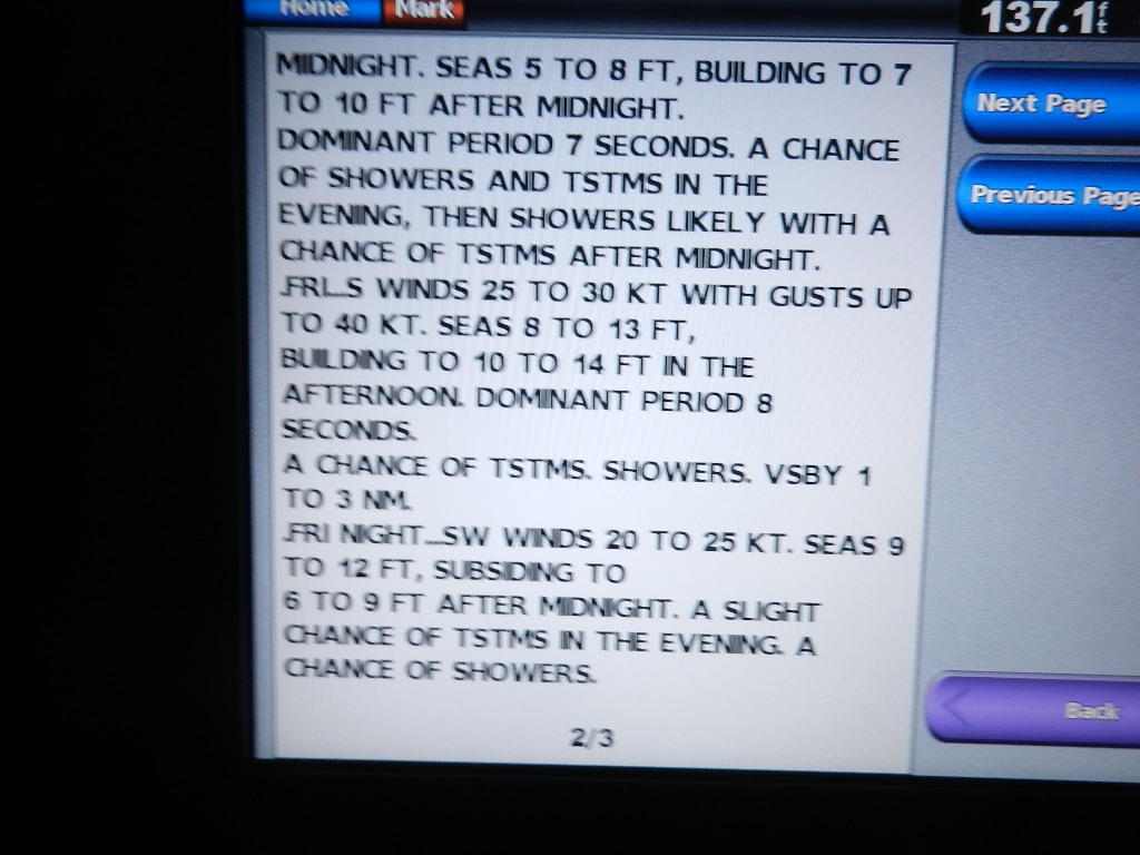
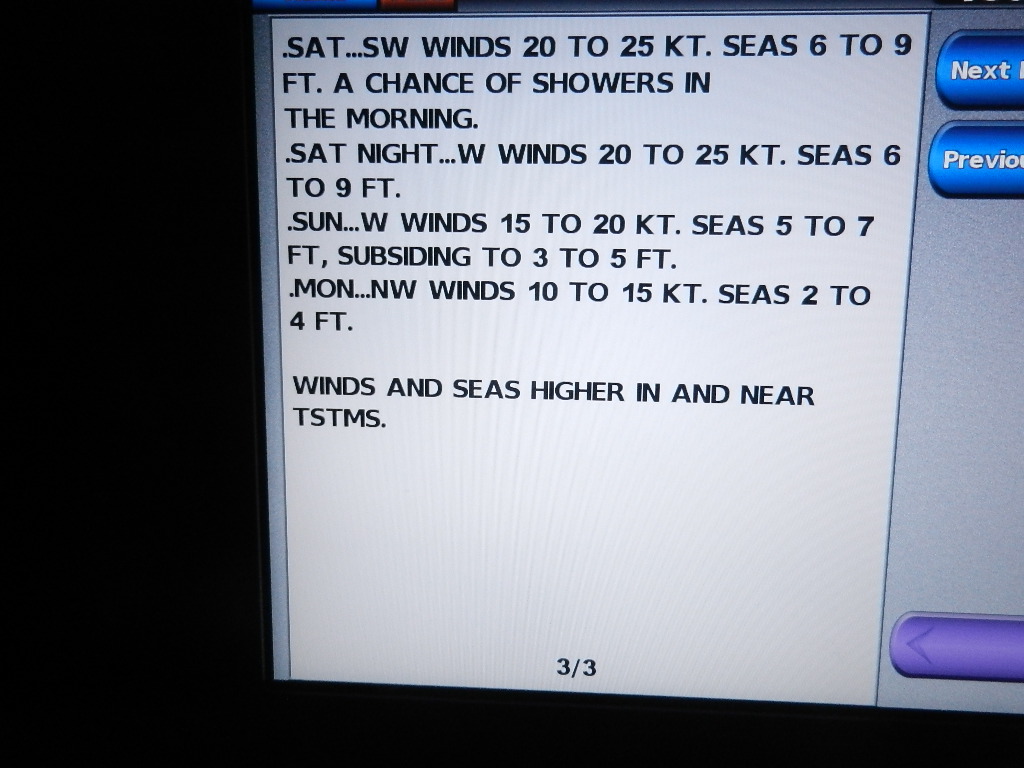
The forecast for Cape Hatteras to Ocracoke Inlet showed that
starting on Thursday night wind and seas would continue to increase pretty
dramatically. This was due to the formation of a deep low pressure system over Alabama and high pressure over New York that was drifting slowly east into the
Atlantic. This combination coupled with
a frontal passage at Cape Hatteras foretold extremely rough seas over a wide area.
starting on Thursday night wind and seas would continue to increase pretty
dramatically. This was due to the formation of a deep low pressure system over Alabama and high pressure over New York that was drifting slowly east into the
Atlantic. This combination coupled with
a frontal passage at Cape Hatteras foretold extremely rough seas over a wide area.
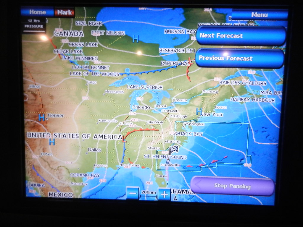 |
| Deep low pressure over Alabama drifting east with high pressure over New York slowly lifting into the Atlantic |
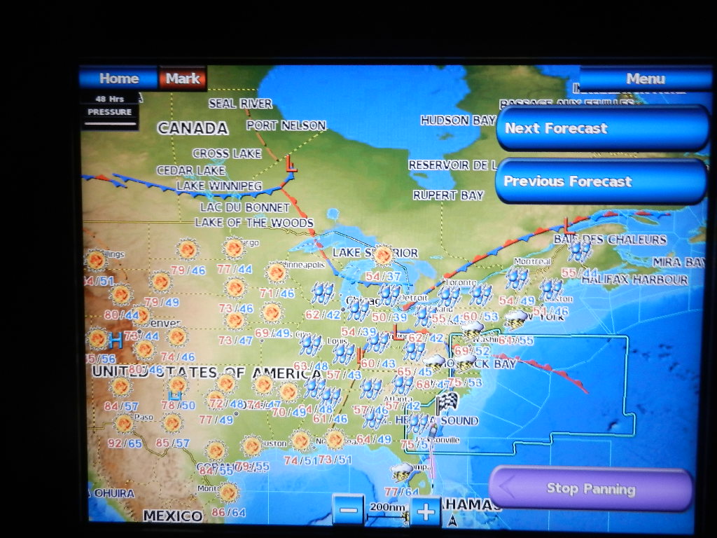 |
| Cold front approaching the coast in 48 hour |
As noted in the forecast photos above, the conditions at Cape Hatteras would not improve until late Sunday. Monday’s forecast called 2 to 4 foot seas, which is great for traversing Cape Hatteras. Stopping and waiting for the weather to clear was clearly in the cards,
Explanatory Note: My decision to head further north on minimal fuel reserves is based on three years of experience with the 63. That experience includes two ECU adjustments by Caterpillar to correct a discrepancy that showed fuel consumption readings below the actual amount of fuel consumed. It also includes fill-ups after runs in excess of 600 miles where I was able to predict the amount of fuel added with 20 gallons in each 500 gallon tank (A .04% error rate).
Decision Time: At 9:25 AM on Thursday, Bob and I (yes, again, Guy was sleeping) made a decision to head for Georgetown South Carolina where we planned to stay for at least two days waiting for the weather to improve. This decision, which put us at or below the 10% fuel reserve, had several major components:
- At 9:22 AM we were sitting on 220 gallons of fuel as measured by the site glasses on the fuel tanks. The tank tender’s “worst case” measurement was 126 gallons (see Explanatory Note below).
- The additional distance to Georgetown was 65 nautical miles. That translates into approximately 75 more gallons of fuel consumption.
- A forecast for 4 to 6 foot seas in the late afternoon between Charleston and Georgetown.
- Current wind conditions were southeast at 22 knots. This would produce a sea on the starboard forward quarter and a relatively stable ride owing to the stabilizers.
- The 13 NM run up Winyah Bay would be on calm water reducing the risk of an engine stoppage from unporting a fuel line
- The marinas in Georgetown are in protected waters – critical as storms were approaching from the west.
- Heading to Charleston City Marina (aka the Mega Dock) would add 13 nautical miles from our arrival point at the inlet (and another 13 nautical miles to return to sea)
- Diesel fuel price at Georgetown was $2.27 versus Charleston at $2.74.
At 9:50 AM we changed course for Georgetown just south of Charleston channel. We had covered 705 nautical miles since leaving Sarasota four days earlier. Our current speed was 8.0 knots (as we were out of the Gulf Stream). The engine monitors showed 720 gallons of fuel consumed. Add to that approximately 72 gallons of generator use and we have a total fuel burn of 794 gallons.
Five hours later, we arrived at the Winyah Bay inlet and headed north up the bay to Georgetown.
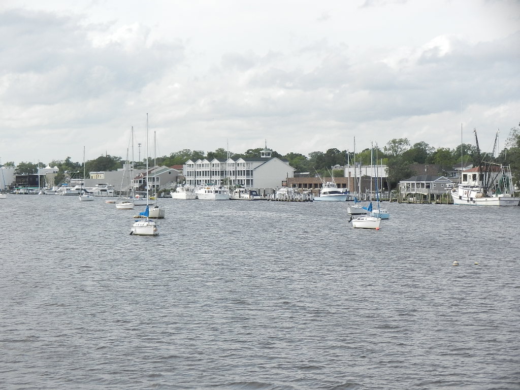 |
| Approaching Harborwalk Marine in Georgetown You can barely see their Phillips 66 sign |
Finally, at 5:23 PM we arrived at the Harborwalk Marina fuel dock. We were greeted by Larry and promptly started the process of refueling. Note: Larry gave me a $2.17 fuel price based on an expectation of over 1,000 gallons.
When fueling was completed we had taken on 1,205 gallons, which includes refilling the auxiliary tanks. So to fully understand our fuel situation we need to focus on the 960 gallons of fuel in the main tanks at the start of the trip.
Recall that we left Sarasota with 960 gallons in the main tanks (500 gallons each) and 31 gallons in the auxiliary tanks (which were essentially unusable). That translates into 480 gallons in each main tank. At Harborwalk I added 468 gallons to port ad 466 gallons to starboard. The site glasses overstated fuel remaining showing port with 50 gallons remaining and starboard with 60 gallons. The Tank Tender showed port with 21 and starboard with 29 gallons remaining. No question that we cut it close (with at least two hours of running time left if you go with the Tank Tender readings). Again a calculated risk, which in this case included total confidence in the fuel consumption data put out by the engine monitors and the fact that the last hour of the trip was on the calm waters of Winyah Bay.
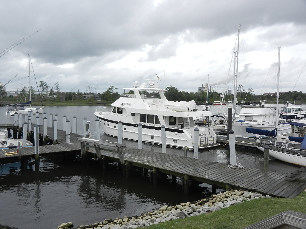 |
| Guided Discovery at Harborwalk Marina with approaching storm clouds |
Summary: This trip established many new records:
- The longest distance traveled (766 nautical miles)
- The first trip around the Florida keys (with the 63)
- The most fuel purchased at any one time (1,205 gallons)
- A fuel price within 4 cents of the lowest price we’ve paid since acquiring the 63.
- The first “ride” in the Gulf Stream
- The fastest enroute speeds
- The shortest time enroute. We were 19 hours ahead of schedule when we arrived at Georgetown inlet.
- The first trip in three years with with down time due to weather (2 days)
- The lowest amount of fuel remaining at trip end.
Statistics:
- Total Distance: 766 nautical miles (740 since the Venice Inlet)
- Average Speed: 9.4 knots
- Maximum Speed: 14.9 knots
- Engine Hours: 83
- Engine Fuel Burned: 795 gallons
- Generator Fuel Burned: 100 gallons
- Total Fuel Burned: 895 gallons
- Fuel Needed: 1,164 gallons (895 + 269 gallons to fill the auxilliary tanks)
- Fuel Purchased: 1,205 gallons
- Fuel Cost (at $2.17 per gallon): $2,614.8
Written by Les.
Streaming North: Confidently Cutting Close on Fuel
So it’s 1:00 AM on Thursday morning and were headed for Charleston as I take over the 1 to 4 watch from Bob. We had been watching the weather closely throughout the trip and suspected that we may run into stormy weather as we headed north. After making the 1:00 AM log entry and performing an engine room check, I focused on the weather for Cape Hatteras, the most challenging stretch of water on the entire 1600 NM voyage. Below is what a saw:
The forecast for Cape Hatteras to Ocracoke Inlet showed that starting on Thursday night wind and seas would continue to increase pretty dramatically. This was due to the formation of a deep low pressure system over Alabama and a high pressure over New York that was drifting east slowly into the Atlantic. This combination coupled with a frontal passage at Cape Hatteras foretold extremely rough seas over a wide area.
|
| Deep low pressure over Alabama drifting east with high pressure over New York slowly lifting into the Atlantic |
|
| Cold front approaching the coast in 48 hour |
As noted in the forecast photos above, the conditions at Cape Hatteras would not improve until late Sunday. Monday’s forecast called 2 to 4 foot seas, which is great for traversing Cape Hatteras. Stopping and waiting for the weather to clear was clearly in the cards,
Explanatory Note: My decision to head further north on minimal fuel reserves is based on three years of experience with the 63. That experience includes two ECU adjustment by Caterpillar to correct a discrepancy that showed fuel consumption reading below the actual amount of fuel consumed. It also includes fill-ups after runs in excess of 600 miles where I was able to predict the amount of fuel added with 20 gallons in each 500 gallon tank (A .4% error rate).
Decision Time: At 9:25 AM on Thursday, Bob and I (yes, again, Guy was sleeping) made a decision to head for Georgetown South Carolina where we planned to lay over for at least two days waiting for the weather to improve. This decision, which put us at or below the 10% fuel reserve, had several major components:
- At 9:22 AM we were sitting on 220 gallons of fuel as measured by the site glasses on the fuel tanks. The tank tender’s “worst case” measurement was 126 gallons (see Explanatory Note below).
- The additional distance to Georgetown was 65 nautical miles. That translates into approximately 75 more gallons of fuel consumption.
- A forecast for 4 to 6 foot seas in the late afternoon between Charleston and Georgetown.
- Current wind conditions were southeast at 22 knots. This would produce a sea on the starboard forward quarter and a relatively stable ride owing to the stabilizers.
- The 13 NM run up Winyah Bay would be on calm water reducing the risk of an engine stoppage from unporting a fuel line
- The marinas in Georgetown are in protected waters – critical as storms were approcing from the west.
- Heading to Charleston City Marina (aka the Mega Dock) would add 13 nautical miles from our arrival point at the inlet (and another 13 nautical miles to return to sea)
- Diesel fuel price at Georgetown was $2.27 versus Charleston at $2.74.
At 9:50 AM we changed course for Georgetown just south of Charleston channel. We had covered 705 nautical miles since leaving Sarasota four days earlier. Our current speed was 8.0 knots (as we were out of the Gulf Stream). The engine monitors showed 720 gallons of fuel consumed. Add to that approximately 72 gallons of generator use and we have a total fuel burn of 794 gallons.
Five hours later, we arrived at the Winyah Bay inlet and headed north up the bay to Georgetown.
|
| Approaching Harborwalk Marine in Georgetown You ban barely see the Phillips 66 sign |
Finally, at 5:23 PM we arrived at the Harborwalk Marina fuel dock. We were greeted by Larry and promptly started the process of refueling. Note: Larry gave me a $2.17 fuel price based on an expectation of over 1,000 gallons.
|
| Guided Discovery at Harborwalk Marina |
Summary: This trip established a many new records:
- The longest distance traveled (766 nautical miles)
- The first trip around the Florida keys (with the 63)
- The most fuel purchased at any one time (1,205 gallons)
- A fuel price within 4 cents of the lowest price we’ve paid since acquiring the 63.
- The first “ride” in the Gulf Stream
- The fastest enroute speeds
- The shortest time enroute. We were 19 hours ahead of schedule when we arrived at Georgetown inlet.
- The first trip in three years with with down time (2 days) due to weather
Statistics:
Total Distance: 766.1 nautical miles (740 since the Venice Inlet)
Average Speed: 9.4 knots
Maximum Speed: 14.9 knots
Engine Hours: 83
Engine Fuel Burned: 795 gallons
Generator Fuel Burned: 100 gallons
Total Fuel Burned: 895 gallons
Fuel Needed: 1,164 gallons (895 + 269 gallons to fill the auxilliary tanks)
Fuel Purchased: 1,205 gallons
Fuel Cost (at $2.17 per gallon): $2,614.85
Written by Les.
Streaming North: Decisions, Decisions and Still More Decisions
Welcome back.
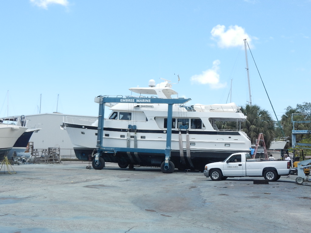
To fully appreciate what is going to happen over the next 3 days you need some background information. The boat was hauled on Tuesday, April 25, at Embree Marine Services to correct an alignment problem on the port engine. On that haul, Embree had removed 300 gallons of fuel from the auxiliary tanks to facilitate the lift. On my instructions, they returned all 300 gallons to the main tanks, which topped them off and put the excess (31 gallons) in the auxiliary tanks. Therefore, I left St Petersburg Florida on Thursday, April 27 with 1,000 gallons in the main tanks. Upon arrival in Sarasota I noted a fuel burn of 39 gallons. At departure Monday morning I had 960 gallons in the mains (and 31 gallons in the auxiliaries).

The original plan was to fill up in Miami at the Miami Beach Marina, which is conveniently located just inside the Miami Inlet and then head back out and catch the Gulf Stream, which comes within 7 to 10 miles of the Miami Inlet. Then, weather permitting (defined as a southerly winds with favorable seas, preferably following) continue north riding the Gulf Stream to Cape Hatteras and then once past the cape, head north to Ocean City Maryland where we would refuel before the final leg to Hingham. If this all came to pass we would be in Hingham in a record 7 days. Note: The run from Miami to Ocean City is 818 nautical miles.
Now for the story.
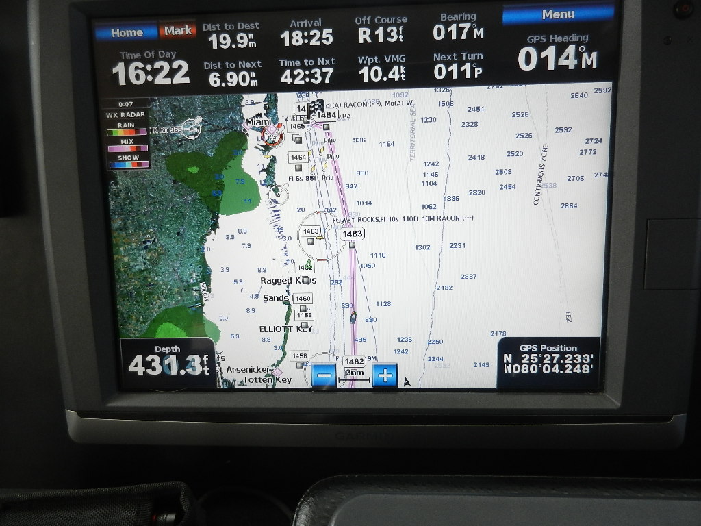 |
| Just south of Sand Key. Miami is 19,9 nautical miles north |
At around 4:23 PM we off Sands Key and approximately 16 NM south of Miami. Our plan to stop for fuel at the Miami Beach Marina was not going to work as they close the fuel dock promptly at 6:00 PM. We would arrive at the open water buoy at 6:23 PM. Miami fueling was not going to work.
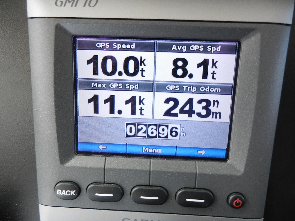 |
| 20 nautical miles south of Miami We had covered 270 nautical miles, 243 NM since Venice Current speed is 10 knots. Average speed is 8.1 knots (since Venice) |
Decision Time: As we passed Miami around 6:30 PM we considered refueling at Port Canaveral early Wednesday morning and set up a route that kept us in the stream for as long as possible before heading northwest to the inlet. That plan was abandoned at 3:10 AM on Wednesday morning.
On Tuesday evening at around 8:30 PM we were off Fort Lauderdale. Looking to the northwest we could see dark clouds. Sirius Satellite Weather was showing a large area of thunderstorms with various intensities, including some bright red cells. The system was slow moving to the south with a slight easterly component.
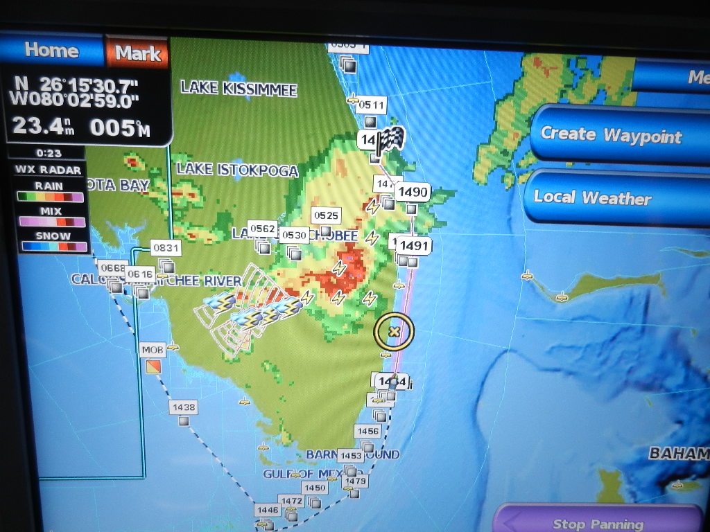 |
| Rain and thunder storms ahead |
Coincidentally, Diana and Kodi were in Fort Lauderdale staying at our friend’s lovely condo on the beach. Had it still been light, Diana could have spotted Guided Discovery with binoculars. I talked with Diana by cell phone and we discussed the storms. Diana was concerned as NOAA had issued a tornado warning and urged me to seek shelter.
Explanatory Note: The risk of thunderstorms include high winds and lightning. High wind are likely with a frontal passage and are more severe when they form a squall line. Lightening is not a life risk when we are in the cabin. However, a lightning strike can take out the boat’s electronics and electrical system and can even damage the engine’s ECUs. At an electronics seminar at an Outer Reef rendezvous in 2013 (while the 63 was being built) I asked the moderator about the current state of lightning protection for boats. He responded by saying that no solution had been developed and that replacement of burned out electronics was a substantial part of their business. A lightning strike can occur at sea and at the dock. There was no advantage to heading for shore.
Around 9:00 PM off Boca Raton we experienced the frontal passage with rain showers, thunder and occasional cloud to cloud lightning. Winds quickly increased from 3 knots to 24 knots and clocked from southeast to northwest. We noted a drop in current speed from 11.4 to 10.4. However, we were still solidly in the Gulf Stream. Our average speed was now 8.5 knots.
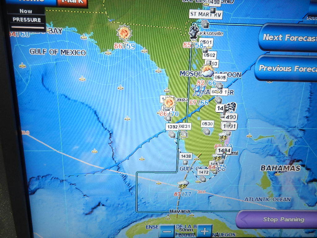 |
| The cold front that was kicking up the storms |
Decision Time. At 3.10 AM on Wednesday, Bob and I (Guy was sleeping) decided to bypass Port Canaveral and continue riding the Gulf Stream north to St Simons Georgia, some 200 NM north. Current speed was now 12.5 knots and our average has increased to 9.0 knots. We ball-parked our ETA at Morningstar Marina to be around 3:00 AM the following morning. Morningstar has 1,100 feet of transient face dock so the likelihood of finding space would be good.
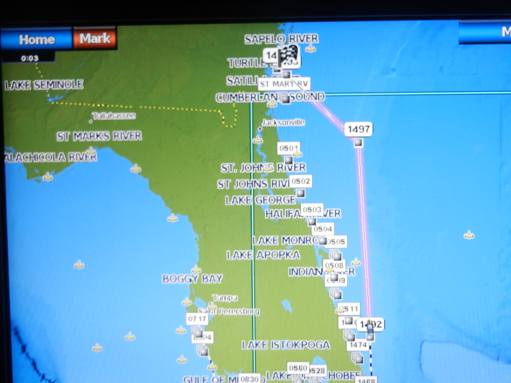 |
| Route to St Simons Georgia The leg from WP 1492 to WP 1497 is the west wall of the Gulf Stream |
Here’s the logic. We would continue to take advantage of the Gulf Stream and some reasonably good weather following the frontal passage (see below). Fuel reserve 300 gallons, 150 in each tank.
The forecast for Altamaha Sound to Fernandina Beach out to 60 miles:
- Wednesday: Winds NNE 5 to 10 increasing to east 10 to 15 in the afternoon. Seas 3 to 4 feet with an 8 second period.
- Wednesday Night: East southeast winds (a quartering tail wind) 10 to 15 knots with 3 to 4 foot seas with a period of 8 seconds
- Thursday: South southeast winds 20 to 25 knots with seas 4 to 6 feet.
At 4:00 AM on Wednesday we were 18 NM due east of Fort Pierce Inlet in 2 to 3 foot seas following the frontal passage. Our average speed was now 9.0 knots. We estimated current speed at 12.4 knots.
 |
| Passing the Fort Pierce Inlet |
12 hours later, at 4:30 PM we were 58 NM east of St Augustine, Florida. Seas continued at 2 to 3 feet and our average speed had reached 9.7 knots. We had covered 550 nautical miles since leaving Sarasota.
Notice that as we continued north our off shore distance increased dramatically. That’s the reality of running the Gulf Stream. To stay in the stream you have to be willing to cruise way offshore. It would now take around 7 hours to reach shore and even more to reach a port. Favorable weather and well maintained boat are essential.
Decision Time: Earlier at 3:30 PM, Bob and I (Guy was again sleeping) decided to continue to Charleston, South Carolina. This was an easy decision. Why arrive in St Simons at 3:00 AM and waste time and good weather waiting for the fuel dock to open? Interestingly, this decision only added 60 nautical miles to the trip. Most important, it allowed us to continue in the Gulf Stream as Charleston was a straight shot 170 NMs north from our present position east of St Augustine Inlet. At that time we calculated 536 nautical miles made good. Charleston added 170 nautical miles for a total of 706 NMs. We calculated our reserve at 294 gallons. Readers with a sharp eye will notice that the fuel reserve to St Simons (300 NM) is identical for Charleston. How can that be? It’s simply a matter of heading due north instead of heading northwest (i.e., swinging the course arc). We also conserved fuel by staying in the stream.
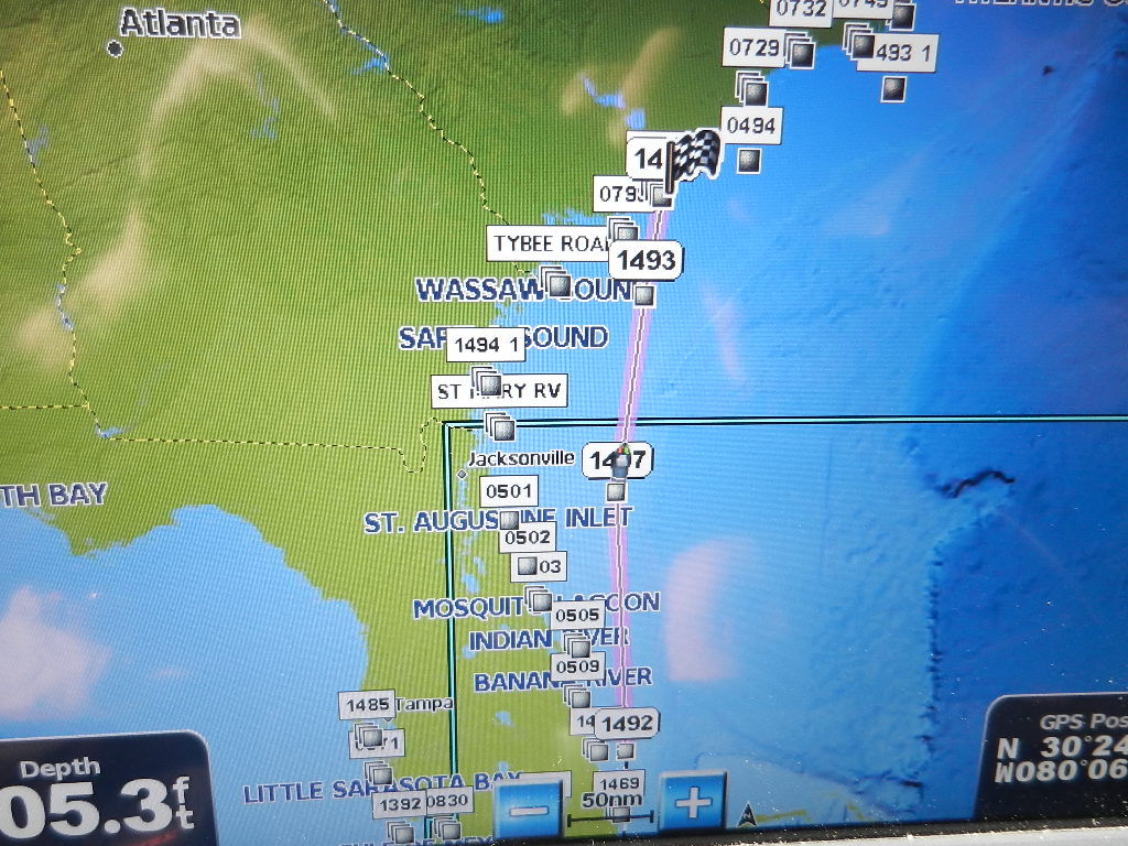 |
| Decision to go direct o Charleston |
At 1:00 AM on Thursday Morning we were 68 NMs due east of Little St Simons Island and mostly out of the Gulf Stream as indicated by current speed of 8.6 knots. We still showed an average speed of 9.7 knots. Seas were running 2 feet of less as winds continued to back to the south. At that point we were 74 nautical miles south of Charleston with an ETA of 9:46 AM at the point where we would intersect with the Charleston approach buoys. We calculated our fuel reserve at 236 gallons including generator usage to the intersection.
The following words appear in the log for this latest entry. “Peaceful!!” BUT this is the “lull before the storm.” Read on. It clearly gets more exciting.
Written by Les.,
Streaming North: Discovering the Gulf Stream
Departure: May 1, 2017 @ 6:32 AM.
Following tradition, Darrel and Sue Peters joined us in the morning and helped us cast off. We met them in Florence Alabama in November of 2010 while on a Great Loop side trip. Sue left her pocketbook in the courtesy car and, having found no money in here purse (just kidding), we guessed that it was the folks on the 50 foot Ocean Alexander, returned the pocket book and have been friends ever since.
Back to business.
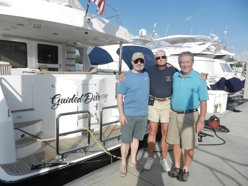 |
| The Crew: Guy Aries, Les and Bob Benson |
Departure from Sarasota is always a challenge as there is no easy way out to the Gulf. There are three options; Big Pass, New Pass and the Venice Inlet via the ICW, and each has its issues. Big Pass is a local knowledge pass that is tricky in calm water and dangerous with rough seas due to the shallow depths. New Pass, recently dredged, has a bridge with restricted openings before 7:00 AM and a very shallow channel (where we almost touched last March) leading to the pass. Taking the ICW to Venice involves 4 bridges, two of which open every 20 minutes and numerous no wake zones.
 |
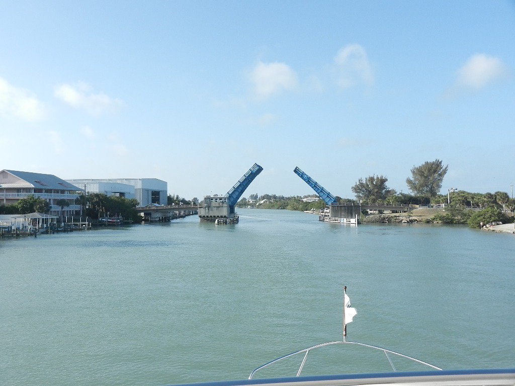
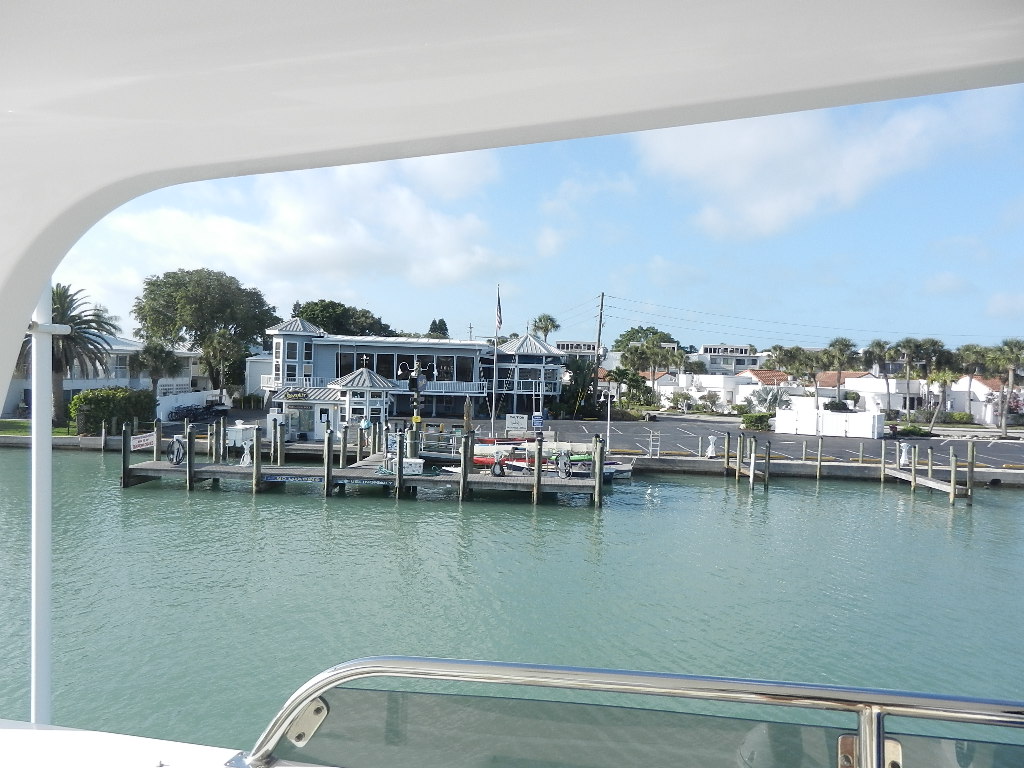
| Casey Key Swing Bridge |
We chose Venice via the ICW on Monday morning as a brisk 20 knot wind out of the south was making, according to the forecast, 3 foot waves. That wave direction increased the risk of bouncing of the bottom at Big Pass. To shorten our time on this route we left at 6:30 AM to take advantage of the fact that the Siesta Key bridge opens on demand before 7:00 AM. The run to the inlet took two hours and 13 minutes.
When we entered the Gulf at Venice we saw that we had made the right decision as we immediately started pitching in a 3 to 4 foot head sea. Seas calmed to 2 to 3 feet as we passes Marco Island around 7:00 PM then increased to 4 to 6 as we progress toward the Keys. The 63 handled the seas will but pitching is not fun unless you’re playing baseball.
Around 4:00 AM on Tuesday morning we were 17 NM north of Marathon and the Seven Mile Bridge. Winds that had been 25 to 30 knots out of southeast winds reduced to 15 to 20 knots and the seas calmed. At 6:27 AM, 24 hours after departing Sarasota we crossed under the Seven Mile Bridge. We had covered 182 nautical miles at an average speed of 7.7 knots.
 |
| Seven Mile Bridge |
Explanatory Note: The 63 cruises at 8.4 knots at 1400 RPM. The head winds and seas had reduced our speed by .7 knots. That may sound trivial but it’s not when you running 24 hours a day for multiple days. Essentially, you lose 16 NM and 2 hours every 24 hours.
Decision time. Run the Hawk Channel in protected water or run outside the reef in deep water to catch the Gulf Stream. This proved to be an easy decision as the forecast of south southeast winds at 10 to 15 knots with 3 to 5 foot seas was the same on both sides of the reef.
Would we get the promised push from the Gulf Stream? That question was clearly answered 4 hours later when we recorded an average speed of 7.9 knots. We were now seeing current speed readings of approximately 8.8 knots and, best of all, we were running in 3 to 4 foot seas off the starboard forward quarter. Those seas continued to calm (to 2 feet) and our speed continued to increase to 9.0 knots. The Gulf Stream was giving us a 1.5 knot push.
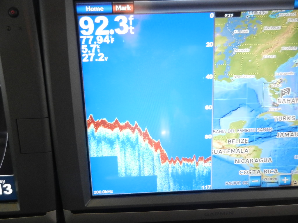 |
| The depth increases as we cross the reef. Our position is shown on the right hand screen Sorry for the poor photo |
The Gulf Stream turned Guided Discovery into a speedboat. OK, I know. You think that’s a big exaggeration but you need to read on.
Written by Les
