
Was following a thread on one of the boating forums. Silly questions you get from newbies etc. This was one that came to mind from my sailing days.——————————–Was departing Thunder Bay, ON aboard CCG Icebreaker/buoytender. Giving ne…
April 15 – Welaka, FL
Bryant’s Wharf/Public Dock
“There is more to life than increasing its speed.” —Ghandi
We knew a cold front was going to move through the area today, bringing high winds and rain, so we left our beautiful anchorage in good time this morning. We decided we’d move over to the free dock in Welaka. Our cruise today was only eight miles…these long days are getting rough! Most of their dock space is for shorter day boats. A lot of people on the river have pontoon or bass boats. The only spot larger enough for us was on the end of the pier. Three thick pilings cabled together, which is called a dolphin, stood at the edge of the dock. Docking wasn’t too hard, but getting fenders adjusted to the large clusters of thick pilings was a bit more challenging and getting off the boat meant stepping across about 18” of water. Once we were tired up we took a quick walk around this little town and talked to a few people fishing on the pier. They told us about a few creeks and springs we should explore in our dinghy…we love getting local advise. We didn’t know about any of the places they talked about, so we have added them to our list things to do.
We spent most of the afternoon on the boat…watching it rain and rocking in the wind. It was a good day to get caught up on reading, paper work and photo editing. Sometimes it’s nice to have a slow day. We were looking forward to eating at a little restaurant above the dock, called Café Bleuu, but we found out they’re only open Thursday through Sunday. Hopefully we can try it on our return trip. We decided to go to another favorite place we’d heard about called Shrimp R Us…it was very good, but just your basic seafood restaurant. We spent a quiet evening on the boat just relaxing.
One of the little streets in Welaka

Bryant’s Wharf – Welaka Public Dock

Watching it rain


Turning On Marina Jack’s
As posted earlier, Istaboa’s in Sarasota, (I like saying that), hosting a trio of wireless internet gearheads while providing the perfect venue for the testing of all sorts of wireless mojo.The first order of business was to completely remove the forme…
First Long Range Cruise – 211 NM Charleston, SC to Beaufort, NC
We arrived in Charleston yesterday after a 10 hour 84 mile offshore run from Hilton Head and were looking forward to a few days in this exciting city with our friends Darrell and Sue who planned to arrive on Monday. We’ve visited Charleston a number of times, once by car circa 2006, on the Great Loop in April 2010 and most recently while attending the 2013 Outer Reef Rendezvous (June in Mount Pleasant).
However, we were not entirely looking forward to the journey from Charleston to Norfolk, which we planned to do on the ICW. So we went back and reread our blog and we were reminded of the ICW challenges of tricky navigation, skinny water, currents and no wake zones. Hmm. We wondered if there was a reasonable offshore alternative.
Note: Charleston is a great place but at this time of the year it is full of bugs called no see-ums.
Explanatory Note: Cruising like life is full of trade-offs. Traverse the ICW and you cruise on calm waters with constantly changing scenery. But you trade that for tricky navigation, skinny water, currents, no wake zones and the need to pay constant attention to tides (especially now that we draw another foot of water – 5 ft on the 63 versus 4 on the 48). Operate on the ocean and you get direct routes with deep water. But there are trade offs. You have to negotiate inlets, some of which are very tricky (read as dangerous), add miles getting in and out of the inlets, add distance as the inlets are relatively few and far between and finally, and most critical, you have to deal with weather, wind and waves.
Readers will recall that we departed St Simon Island for Hilton Head on calm waters and then after a two day stay departed Hilton Head for Charleston on the same weather window. We checked the weather on Saturday night to see if our weather window was still “open.” It was.
According to Weather Underground, seas on Sunday were forecasted as 2 to 3 feet building to 3 to 4 feet on Monday on mild southeasterly winds (5 kts building to 15 kts ) and then increasing steadily to 5 to 7 feet as winds picked up 15 to 25 as a cold front approached from the west. My take, there was 36 to 48 hours remaining on the current weather window.
Explanatory Note: Heading north east along the shore with a southeast wind is a favorable condition for the 63. Waves were forecasted to be on our beam which is optimum for the hydraulic stabilizers. I’ve had Guided Discovery out on a 6 foot beam sea and she rode just fine. Stabilizers are effective with seas from about 30 degrees to 150 degrees on the beam. Following seas are OF too. The most difficult point of “sail” is a head sea where the boat wants to pitch. Stabilizers control roll. They are and less effective with pitch and yaw.
The next question was where to go. Below are the cities we visited on Great Loop between Charleston and Beaufort, NC with the miles for each leg. The trip is 235 nautical miles with four stops. I calculated the offshore run from Charleston to Beaufort and determined 212 miles including the inlets at both ends. The difference is 23 miles which at 8 knots represents three hours and 18 gallons of fuel.
|
Charleston
|
Georgetown,SC
|
56.8
|
|
Georgetown,SC
|
Myrtle Beach,SC
|
44.4
|
|
Myrtle Beach,SC
|
Southport,NC
|
38.2
|
|
Southport,NC
|
Wrightsville Beach
|
22.5
|
|
Wrightsville Beach
|
Beaufort, NC
|
72.2
|
Summary: We had a solid 24 hour weather window with an acceptable 24 hour cushion. We could save both travel days, some long some short, and distance (fuel). We could get within 180 nautical miles of Norfolk where we will meet Dick Singer and Phil Fuoco for the 500 mile offshore run to the Cape Cod Canal. We could be in a charming city (Beaufort) with a downtown dock and we could get out of Charleston’s no see-ums (bugs that have been driving Diana crazy and a long walk to town from the marina). If we left at 10:00 AM we would get into Beaufort around 11:00 AM (assuming 8.4 knots at 1400 RPM). Tradeoff: 25 hours on the water with an overnight. Concern: Kodi has never eliminated on the boat.
Night crossings have historically not been our thing. In fact Diana and I have only made one, a five hour run from Chicago IL to Southhaven MI on the 44 Sundancer (at 20 knots) in circa 2002. I made one without Diana from Mystic to Branford CT on October 10, 2011 to move the boat closer to Yale New Haven Hospital after Diana’s knee injury (that ended our cruising for 8 months). That run involved a tricky night approach to an unfamiliar harbor.
Decision: Go!
We moved the boat from our slip to the gas dock, which proved to be tricky maneuver as we were against a wall with very little space to turn. Thanks to powerful thrusters I was able to extricate us but it was definitely another learning experience.
Diana gave Kodi a walk while I fueled the boat. We took on 460 gallons at $4.05 per gallons, the lowest we paid to date. While on the walk Diana picked up some stones where Kodi had urinated in the hopes that It would encourage her do so underway.
We departed at 10:28 AM and headed down the channel past Fort Sumpter on an outbound tide. Good news: The 2.4 knot current raised our speed to 11.0 knots Bad news: The outbound current combined with the 10 knot easterly wind produced 4 to 5 foot standing waves in the channel. Guided Discovery pitched a bit, which scared the Furry Kid. We passed the 900 foot Maersk Pittsburgh a large container ship in the channel. She threw a big wake (6 to 7 feet) but the stabilizers handled it.
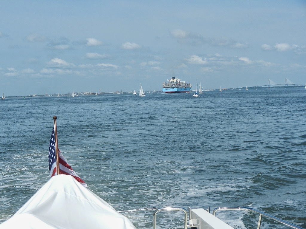 |
| Maersk Pittsburgh |
At 11:18 AM we turned north and quickly were into the promised two foot seas, which were spaced 7 to 9 seconds apart. From there to the outer channel marker at the Beaufort Inlet, which we made at 10:25 AM on Monday, we headed northeast along the coast making only three course changes.
 |
| Our work area for the trip north |
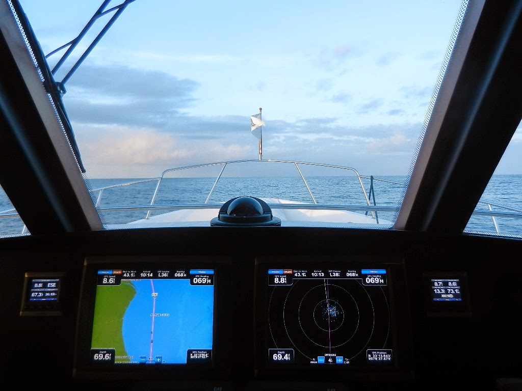 |
| Early afternoon. The left screen shows we’re way south of Bald Head Island. The right screen is radar |
 |
| Nautical twilight. The left screen shows us at Bald Head Island. The right screen is monitoring weather |
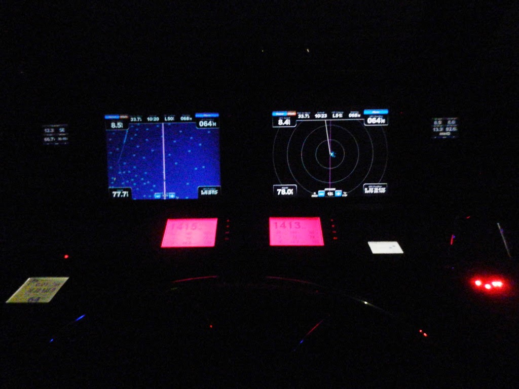 |
| Running in the dark. Radar and AIS are our eyes |
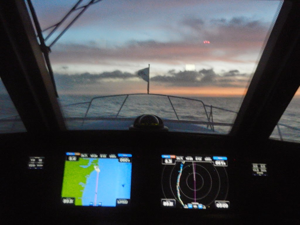 |
| Just before sunrise. The left screen shows us 38.8 NM south of the Beaufort Inlet marker |
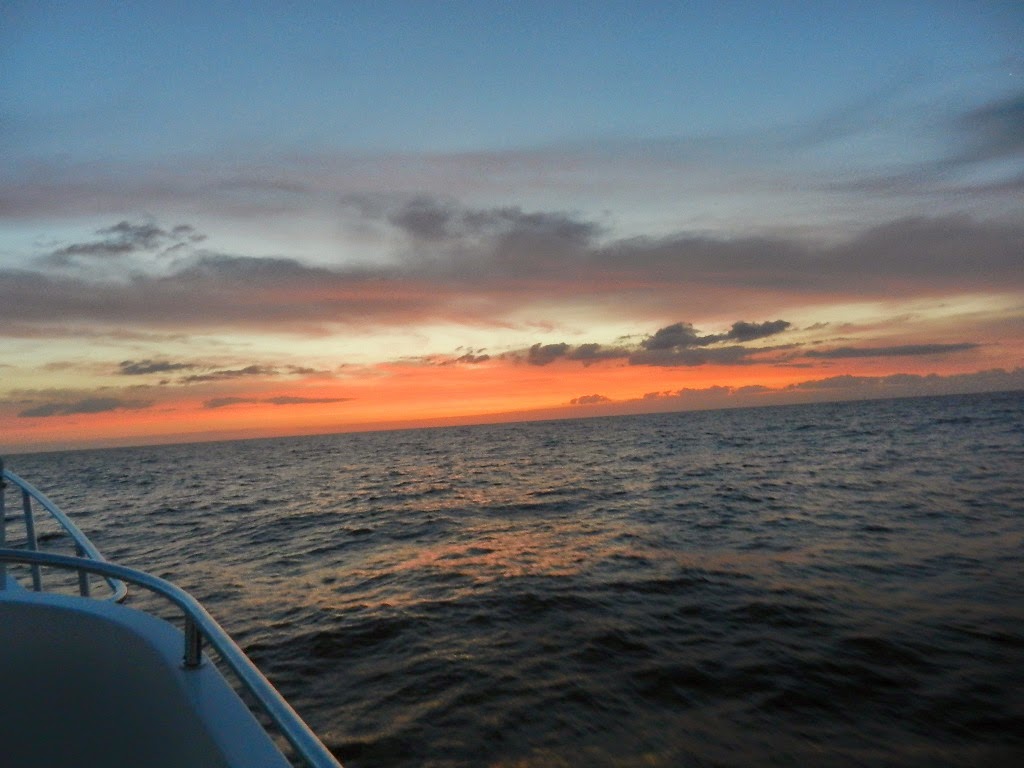 |
| Red in the morning, sailor take warning |
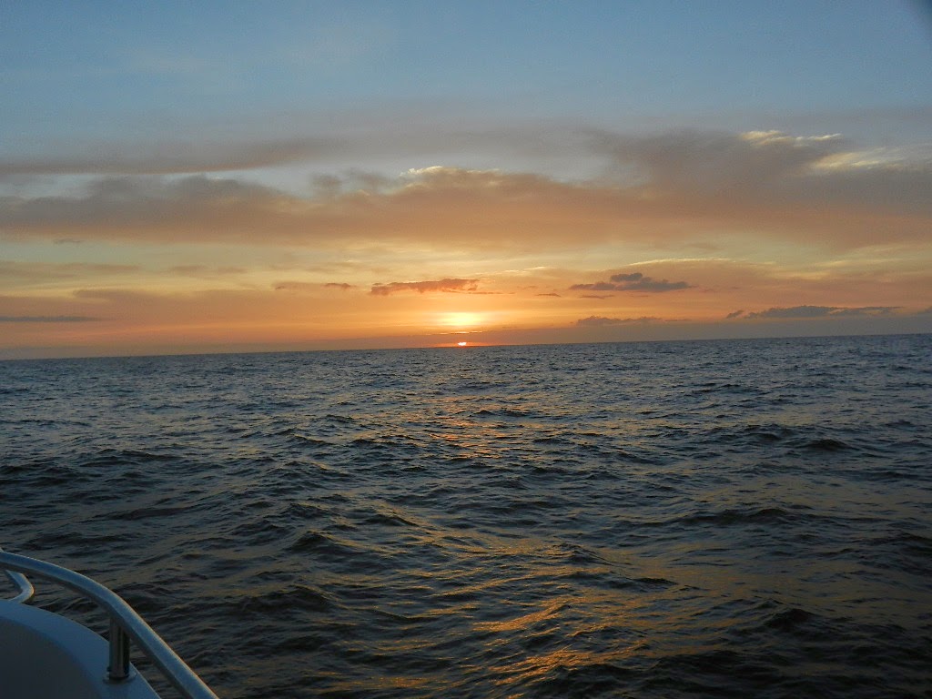 |
| Sunrise (those are hard to see 4 to 5 foot swells) |
What’s it like to run for 212 miles over 25 hours. The answer is easy when you do it in a 63 foot trawler equipped with oversized stabilizers on relatively calm waters. While you are aware of the seas, the boats roll is negligible even when we encountered 5 foot swells on Monday morning. We operated from the pilothouse for 95% of the trip; both because of the temperature and the better working environment. The pilothouse is laid out so that everything I need is close at hand.
During the evening Diana took the helm to let me catch some sleep. I probably slept for 3 and a half hours and was very comfortable sleeping on the pilothouse settee.
I kept a log recording data so that I might be helpful. The data included:
- Time
- Position
- Course
- Speed
- Wave height
- Distance to next waypoint
- Distance traveled
- Wind direction and speed
- Barometer reading and direction (rising, steady, falling)
- Average speed
Particularly important on this run was wind direction, wind speed, barometer and wave heights. Remember, we made this journey on the basis that we had a 24 hour weather window with a 24 hour cushion. Would the weather forecast prove to be correct and did we make a good decision? Winds started out NE at 5 knots and gradually backed around to ENE, E, ESE and SE while we were heading northeast on the open water. The wind speed increased over time reaching a high of SE at 14 knots just after midnight. Then they started decreasing in velocity. This was a good sign. The barometer started out at 30.20 and falling at 2:45 PM. It gradually fell to 30.12 inches suggesting the approach of the predicted low and a cold front. Waves heights started out at 2 to 3 feet and rose gradually to 3 to 4 feet (with an occasional 5 footer). All of this data suggested that the forecast was behaving as predicted and that we had made a good “go” decision.
Explanatory Note: I’ve always been interested in weather since my days as a private pilot (1972 to 1983 – 1,300 hours including 300 plus of actual instrument time). As a cruiser since 1999, I’ve continued to pay close attention to weather. However, weather is somewhat transactional for the type of cruising we have done up until today. By transactional I mean you look at the current conditions and forecast and decide if you have enough good weather for the distance to be covered. Rarely did we run more than ten hours. Cruising overnight (and for longer as we plan to do from Norfolk to the Cape Cod Canal) one needs to be more strategic as weather and forecasts can change. Do I have enough good weather for the trip and a bit more for a margin of error? The longer the trip the greater the margin. Keeping track of weather trends while underway serves two purposes. One, to make tactical decisions to deal with changes and two, to improve ones judgment on the go/no go decision.
I also made engine room visits every three or four hours (wearing earmuffs made by Remington) to check for leaks and shoot temperature readings with a hand held pyrometer.
Explanatory Note: Handheld Infrared Thermometers are used to safely measure surface temperatures without making physical contact. Infrared thermometers measure the temperature from a distance by detecting the amount of thermal electromagnetic radiation emitted by an object.
We arrived in Beaufort at 11:50 AM and tied up a Beaufort Dock, a marina that sits of their main downtown business street.
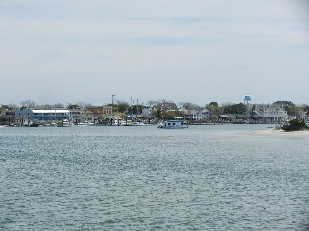 |
| View of downtown Beaufort |
 |
| Guided Discovery at Beaufort docks |
One concern: Kodi did not eliminate during the entire 25 hours despite our efforts and encouragement. Kodi as you know is highly trained. She knows exactly what we are asking and with the exception of eliminating, responded to every command. She is so incredibly housebroken. We need to work on this.
One negative. www.activecaptain.com, a wonderful website for cruisers that provides data on marinas, anchorages, hazards and local knowledge, that is constantly updated by cruisers like us, showed the marina’s transient rate as $2.50 per foot ($158 per night). A bit expensive but OK it’s close to town. When I got there the dockmaster told me the rate was $2.95 per foot ($186 per night). I mentioned that active captain showed a lower rate and further pointed out that they were less than 20% filled. I then got a song and dace that I could get a lower rate if I took a slip ($2.75). I did not have a good feeling about this and plan to write a negative review for active captain. This marina does not justify $3.00 a foot. The bathrooms are old and tired and not very clean (not that we need them but many smaller cruisers do).
Statistics:
- Nautical miles Charleston to Beaufort: 212.5
- Average speed: 8.4 knots
- Fuel consumption: 174.7 gallons
- Fuel efficiency: 1.22 NMPG
- Distance traveled since Fort Lauderdale: 747.3 NM (859 SM)
And one post script – the weather. We called it right. When we awoke Tuesday morning it was raining and windy (15 to 20 knots). The temperature decreased to 60 degrees by late evening. At 11:30 PM Tuesday we had the promised frontal passage. It was accompanied by a with shift to the north, an immediate 5 degree temperature drop in the first 20 minutes, a fifteen degree drop after 90 minutes and a drop in pressure to 29.89 inches. The boat took a roll at the dock that was hard enough to cause the door on the Portuguese bridge to slam shut. (Note: New procedure. The door will be kept shut as weather approaches or when we are underway.
Written by Les.
Chicago Friends & A Little Nostalgia – Hilton Head to Charleston, SC
We arrived in Hilton Head at 4:35 PM on Thursday after a lovely 81 mile cruise on flat water from St Simons. Our cruising partners, Darrell and Sue, had departed St. Simons the day before (Wednesday) to cruise north to Hilton Head via the ICW. &n…
Day 95 – 365 Project…Camera Settings…oh-oh
Welcome to day 95 of 365 photos…I wanted to touch on camera settings today and since I was feeling a bit under the weather, I am going to use a few of yesterdays photos for my examples. To let you know what prompted this post, here is a bit of background. I have been walking… Continue Reading
The post Day 95 – 365 Project…Camera Settings…oh-oh appeared first on Moosetique Musing.
A Friend Passes – Ronald D. Markovits
Yesterday, our friend, Linda Markovits informed us that her husband, Ron, had died on Tuesday, April 7. I had spoken very briefly with Ron the previous Saturday, learned that he was in the hospital and not feeling well. He promised to call later. He sounded terrible. He never returned my call.
I did not expect him to die so quickly but then I’m not entirely surprised. I had spoken to Ron about a year ago and learned that he had been diagnosed with stage 4 colon cancer. He said the doctor had given him a prognosis of 6 months but had said that with aggressive chemotherapy that his life might be extended to 6 years or more. Ron embraced the chemo protocol and moved forward.
Ron and I go back many years and share some very important statistics. We were both born in 1943, both worked for the Warranty Group, both retired after 38 years, both retired on the same day (March 31, 2010) and shared a retirement party (one of the very few ever thrown by our company). Ron also became a boater for a brief period but his first love, after Linda of course, was golf.
Although we both worked for the same company at the end of our careers we came together from very different paths. Ron joined Combined Insurance in 1972. I joined Ryan Insurance Group in 1972. Our paths crossed soon after Combined acquired Ryan in an upstream merger where Pat Ryan, the CEO of the acquired company, became the CEO of the merged entity. That Ryan became the CEO is an important fact as it caused our paths to cross about a year later.
Pat Ryan tasked me with two major training program development projects at Combined over a three year period. And that’s how I met Ron. He was in charge of compliance and assigned another attorney, Joe Fagan, to review my training programs. The culture of Ryan, a very Theory Y company was different than that of Theory X Combined. Ryan wanted to bring a Theory Y approach (Guided Discovery) to Combined’s training with the goal of increasing their training effectiveness. Needless to say there was a clash of cultures but we worked it out and I came to greatly respect both Ron and Joe.
Fast forward a bunch of years and Ron moves into the extended warranty business and eventually becomes the Chief Legal Officer for the Warranty Group. Starting around 2000 I became Vice President of Training and Quality Assurance for our administrative subsidiary and held that position until 2007 when I was promoted to Senior Vice President World Wide Performance Improvement for the corporation as a whole. From 2000 to our retirement Ron and I worked very closely on training, quality assurance, complaint resolution and legal issues.
Ron became my counselor on legal matters along with confidant and adviser, often behind the scenes. Ron helped me tackle several ethical issues and with his help I was able to change what I will politely describe as consumer unfriendly practices. Together we won some big battles and over time became good friends.
 |
| Lester, Diana, Linda and Ron 2010 at the Miami Boat Show (55 Fleming in the background) |
In March of 2010, Ron helped me with my attempt to purchase the 2010 63 Outer Reef Cockpit Motor Yacht that was in Seattle. He reviewed the documents and helped me with the negotiation strategy. I got cold feet and the last minute but that’s another story. Ron was an avid follower of this blog and often talked with me about our adventures.
We met for lunch at Savory Street in late December while Diana and I were in Sarasota waiting for delivery of the new 63. Ron looked good, had gained back most of his weight and was hopeful about the future. We tried to meet once more before I left for Fort Lauderdale but our schedules didn’t coincide.
Ron’s passing at 71 is particularly poignant for me as we shared so much in common. My dad, Isadore Henry (Jack) Shapiro, also died at 71 from a heart attack while playing tennis. As I write this remembrance, Diana, Kodi and I are 40 miles off the coast of North Carolina heading north to Beaufort full of life and expectation of many more wonderful years.
Truly, 71 is too young. I will miss my friend.
Written by Les
Tikehau
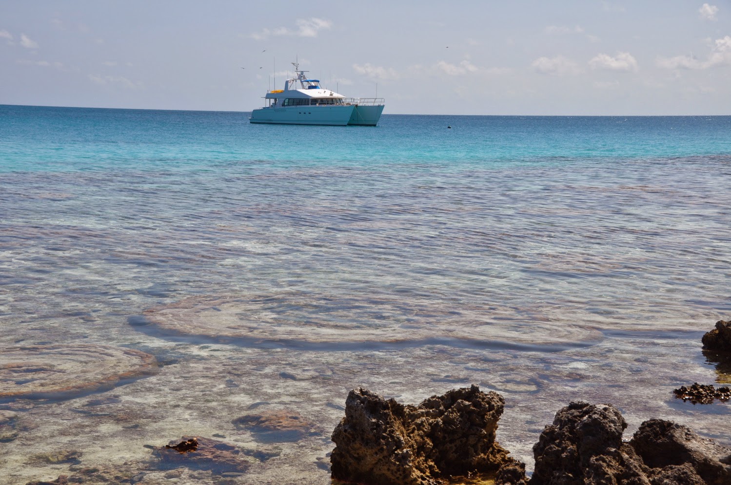 |
| DOMINO at Bird Island |
February 21, 2014
TIKEHAU
Tide info:
High Slack Water – Aho High Water time (NOAA) + 3:18
Low Slack Water – Aho Low Water time (NOAA) + 3:38
Mean Low Water: 3.7m
 |
| Lobsster dinner on board… Williams’ lobster kept for a week in the livewell! |
The distance between Rangiroa and Tikehau may only be less than 10 miles as the crow flies, but to go from pass to pass, the distance is quite different: some 38 to 44 miles, depending on whether you go around the NW coast of Tikehau or around the SE end and diagonally across the channel between the atolls. We navigated both ways, netting 2 15-lb dorados on our way out (North of Rangiroa) and 2 very nice 40-lb yellowfin tunas coming back, in the middle of the channel between the atolls. Good fishing grounds!
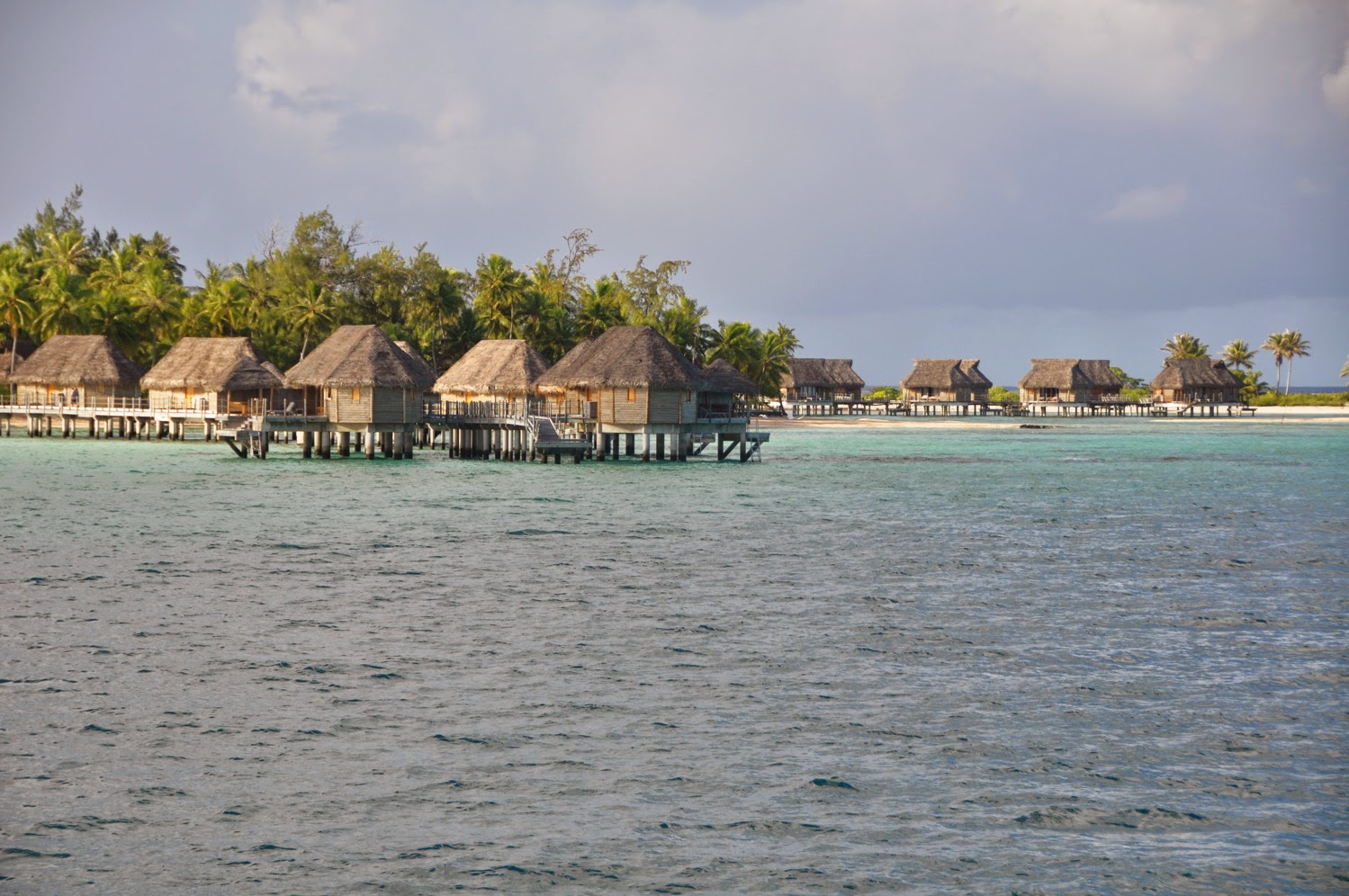 |
| Pearl Resort, Tikehau |
The nice thing about cruising with friends is that we get to do things we’d never do on our own. Williams and Caro, our Tahitian friends back on board for a Tuamotu experience, wanted to connect with their friends on vacation at the Pearl Resort in Tikehau. No problem! Since the weather was clement, we took of for a discovery cruise of Tikehau.
 |
| Our Tikehau cruise |
JP had timed it so we’d arrive in front at slack time. Even though the area seemed flat, we entered with about 1 knot of outgoing current, happy to get in since the ENE wind was blowing at 17 knots. No sooner had we entered the pass that a swarm of manta rays greeted us into the lagoon. Shrieks and jumps from the kids didn’t distract our captain who concentrated on navigation. Well, we can report that the lagoon is very well marked, from the pass to the village and beyond, all the way to the Pearl Resort Hotel. Better favor the lagoon side of the channel (red markers), though, as the reef side is peppered with coral heads.
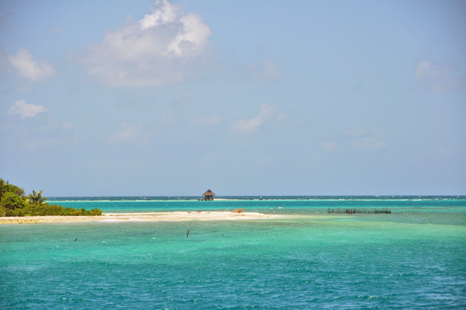 |
| Pearl Resort anchorage |
Pearl Resort – S15°06.12 – W148°11.90
We skipped the village altogether and dropped anchor in the turquoise waters of the Pearl Resort, in front of the pink sand beach. With the wind blowing at 15 knot all night, we figured we’d be nose in the wind. Not so! A current loops around the sand banks and caught the boat sideways, making us rock at anchor, not the most pleasant anchorage after all. Still, the anchorage is a lovely site and a good spot to go walk on the reef or just swim in the lagoon. JP and Williams ventured to the hotel pool and bar where they intended to get some cruising info. They got bodily attacked, unfortunately, not bay the charming and benevolent “Réré” who hosted the bar, but by swarms of mosquitoes that plagued the pool area. They came back on board itchy and scratchy, but with a cruising plan for the next 2 days.
 |
| For even a better view from the FB, JP added chairs to the pilot bench! |
Manta Ray Station – S15°04.958 – W148°13.433
In the morning, we were joined by Mary and Victor who were looking forward to a day of cruising on board DOMINO. Our first stop was at a manta ray cleaning station. There are several of them in the lagoon, including one close to the pass. A Manta Ray Cleaning Station is simply a spot where Manta Rays park themselves and let little fish clean them of parasites. We dropped anchor and sure enough, a Manta was parked there, her mouth gaping open, languidly flapping her wings while yellow fish scrubbed it clean… made me wish I were a Manta and get scrubbed all over. Perhaps if I wore a black Lycra more often…
 |
| Fun with friends |
Bird Island – S14°58.512 – W148°05.933
Just a half-moon of green floating on a Cerulean blue plate, thousands of sea birds wheeling and chirping above it, it’s a marvelous little spot. We dropped anchor in front of the derelict dock and took the dinghy to shore. Respecting the many warning signs, edicts and various legal notices, we stuck to the path across the island. This was one of the occasions when I wished I knew more about sea birds. Species in this part of the world are not familiar and I sorely miss a guide of the local birds. So, the pictures will have to do. The only ones I recognized were a band of Curlews, their long, curved beaks unmistakable. We could have stayed there for the night, well protected of the wind, but after a lunch, a nap, and Victor’s successful fishing (Double-spotted Queenfish and Olive Emperor) it was time to deliver our guests back to their hotel… not without Williams treating us to yet another lobster dinner. That’s right! For the last week, we’ve been keeping the last of the 10 kg of lobster that Williams had bought in Rangiroa, well fed and bathed and aerated in DOMINO’s bait tank. The little beasts were as good after 10 days as they had been on the 1st!
 |
| Garden of Eden: yep! (the pearl farm is abandoned, but the motu is in full exploitation) |
Island of Eden – S15°00.38 – W 148°03.46
“Leave behind civilization and science,” enjoins the panel at the entrance of the Island of Eden, Church of the Prophet. If you thought that nothing grorws in the Tuamotus, think again. Following the scientific principles established by a group of engineers (so much for science) and put in practice by an army of volunteers (so much for civilization), the “Prophet” from Taiwan has established a thriving biological farm. Papaya, tomato, green beans, vanilla, even breadfruit and Acerola cherry grow in abundance. Pigs and chickens provide natural fertilizers. There is even a sea salt production shed that gives the best “fleur de sel” I’ve ever tasted. The pearl farm is no longer in production, however, sunk by the diving price of Tahitian pearls. We walked this amazing “Garden of Eden,” guided by Jacques, the grounds keeper who turned out to be none other than Williams’ “Pion” in grade school, the supervisor who walked the school grounds armed with a whistle tied to the end of a long and very tightly braided lanyard… and watch out if you stepped out of line! Well, Frank must have had a revelation. He and his family now keep the garden of Eden, its pigs and hens. After an obligatory stop at the gift shop where we couldn’t pass up on the sea salt, we left the Garden of Eden, loaded with fresh spinach! Sometimes, you can buy more fresh produce, depending on the season and production.
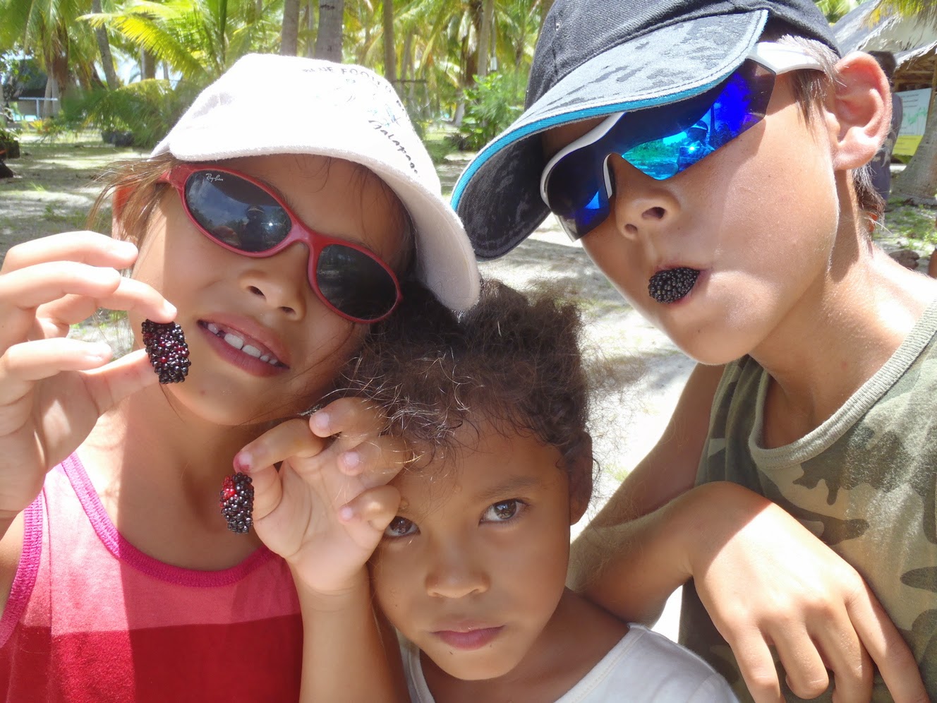 |
| Enjoying locally-grown berries with the locals |
NORTHEAST ANCHORAGE – S14°56.83 – W148°03.78
The Easterlies are strong again, a constant 15-20 knots, so we’re looking for a sheltered anchorage. We found it at the north-east end of the lagoon. There isn’t much here. The long “motu” is unbroken by any “Hoa” (inlet), so the water does not circulate much. The water is milky, which makes it difficult to see the bottom and avoid dropping anchor on coral heads. Fortunately, the bottom is mostly sand. While our guests checked out the beach, getting mauled by mosquitoes in the process and ran back to the relative safety of the water (up to their neck, anyways…) JP and I tried hunting the coral patches. Nothing but a scant boxfish, a delicacy we tasted in Puerto Rico. Just crack the shell open, liberate the 3 fillets still attached to the tail, bread and fry!
 |
| Now, that’s better! |
We left Tikehau with the feeling of leaving behind a slice of heaven. But the best was yet to come. Half way between Tikehau and Rangiroa, we hit a school of Yellowfin Tuna. A double hit as JP and Williams each brought a nice catch on board, 42 and 44 lb respectively. I guess the lessons from Frank at CocoPerle Lodge on Ahe are paying dividends!
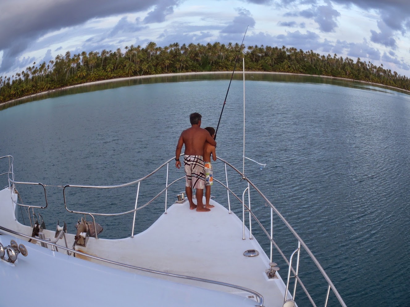 |
| Williams & son Temana enjoy fishing at Tikehau NE (Photo Caro Mahuta) |
Our friends are now back to their lives in Papeete. Next get together? It looks like it will be in Fakarava… another time… till then…
 |
| Domino on the go |
dominomarie
Rangiroa
 |
| Rangiroa from above (Photo Caro Mahuta) |
Rangiro-aaah!
Tide info:
High Slack Water – Aho High Water time (NOAA) + 3:18
Low Slack Water – Aho Low Water time (NOAA) + 3:38
Mean Low Water: Tiputa pass: 16m – Avatoru pass: 4m
Local contact: Catamaran “Rangiroa” – Jean-Marie & Fred – 689-723510
 |
| Rangiroa anchorages |
Rangiroa Passes:
1) AVATORU – The shallower of the 2 passes, we were told can be dangerous. We took it to exit the lagoon at slack water and it was flat. Since the lagoon side is relatively shallow, we favored the S.E. side of the pass where the water is deeper. Once inside the pass, we found deep water and no problem.
2) TIPUTA – Deep and wide, this is the preferred pass where large cargo ship have no problem entering. We took it several times, always arriving early in front of the pass and waiting for slack water. While you wait, take a look at the big dolphins jumping in the surf: one almost landed on our foredeck!
NOTE: Between the passes on the lagoon side, our i-Sailorclearly indicates a traffic lane scheme. Careful! The lanes are invaded by pearl farm buoys, so keep a good lookout!
March 1, 2014
Our 3 weeks in the Rangiroa-Tikehau area were just a blast! The weather, for starters, was clement. Keep in mind that we are still in the cyclonic season, this until the end of April. As such, we are likely to experience a succession of troughs and periods of calm. As we reached Rangiroa, the trough that had been dumping squalls for the last 10 days was moving SW and soon a period of calm settled over us. That’s when our Tahithian friends Caro and Williams and their kids joined us for a little R&R. We were ready.
Our fishing has improved significantly. While we were waiting for slack water in front of Tiputa Pass, we circled the DCPs (Dispositifs de Concentration de Poisson = FAD: Fish Aggregating Devices) and hit the fish that was sitting there, waiting for the tide to turn and push the lagoon creatures into the ocean. Three wahoos, 3 tunas and 2 dorados later, we entered the pass.
Since Rangiroa is a large atoll, some 45 miles long and 18 miles wide, wind waves can significantly affect the anchorage. We dropped anchor in front of the Kia Ora resort, next to the big charter catamaran RANGIROA whom we had met in Panama. Jean-Marie and Fred gave us a warm welcome. Since they were between 2 charter cruises, they had time to spend with us and help us organize our stay.
 |
| “Feos” anchorage |
KIA ORA Anchorage – S 14°58.07 – W 147°38.30 – 15 meters
With light winds from NE, we opted to stay at the Kia Ora anchorage close to the pass, in spite of the rolling motion created by the incoming surf from the pass. The anchorage is close to town where we got fresh bread every morning from Mamie Jeanine. When the Aranui came town, coming from the Marquesas, we waited for its “baleinieres: do dock and vied with the locals to raid pamplemousses and bananas; when the red hull of the Maris Stella was at the dock, a quiet visit to the captain netted us some fresh produce straight from Papeete; and when Williams showed up, it was with 10 kg of live Pacific lobster he had arranged to get from a friend of his on the atoll. We were set for a cool holiday!
What to do from the Kia Ora anchorage? Snorkel around Motu Nuhi Nuhi at the entrance of Tiputa pass and come face to face with thousands of reef fish in multicolor garb. It’s better than any aquarium you ever saw, complete with angelfish, butterflyfish, giant triggerfish and Moray eels, unicorn fish; you name it, it’s all there! Black-tip reef sharks too, of course.
Williams got seriously into fishing, casting his line at any sign of a passing school, netting ciguatera-free “Tarefa” (a kind of Tarpon, but much better!), Trevally and double-spotted Queenfish, which he saved for a picnic on the beach. Like a true Robinson Crusoe, Williams took us on a Tahitian-style picnic at the closest “Hoa,” one of these cuts in the reef that let the fish in and out of the lagoon and that we had fun drift-swimming on incoming tide. After getting the “ciguatera all-clear” from the local fishermen and netting a “Bec de Canne” (Duckbill) fish in the process, Williams built us a fire on the beach, placed a couple of coral plates on top and just dropped the fish on top, compete with scales and guts and all, while the kids and I snorkeled the coral heads around and Caro tried her luck at line-fishing in the Hoa. Well, William’s fish was delicious and I had no dishes to clean!!!
When the wind piped up from the East at 18 knots, with a forecast of higher winds still, we decided to move and seek shelter at the SE end of the atoll, to a place called “Pink Sands.”
 |
| “Feos lagoon” |
“Pink Sands” Anchorage – S 15°14.75 – W 147°14.62 – 7 meters
It’s a 30-some miles distance from the Kia Ora to the SE end of the lagoon, and a trip that requires good visibility. A few “Bommies” are in the way and can spell the death of any ship! Certainly, anchoring at this spot can be challenging since one must avoid all coral heads, not only when dropping anchor, but also in the “avoidance circle.” But what a place! And totally sheltered from the Easterlies that were blowing at 18 knots.
This is “Pure Tuamotus…” remote, talcum-sand beaches, and brown-tipped coral patches ringed in turquoise waters of various intensity. The beaches are covered in fine pink sand, and there is much to explore, which we did happily for 2 days, Caro and Williams loading up the freezer with fish and “Pahuas” (giant clams) to take with them back to Papeete. The Tahitian are really found of their fish (groupers…) and shellfish, and it’s been a lot of fun to watch our friends fish and hunt to their hearts’ content.
When the winds finally died, we continued our cruise to the Atoll of Tikehau (next blog) and then returned to Rangiroa where we delivered our friends to their plane and to civilization in Papeete.
DIVING the TIPUTA PASS – Back to our solitary lives, we decided to book a dive. JM & Fred arranged for the ”6-PASSENGERS” dive club to pick us up to go dive the Tiputa pass. Even though we have our own “Air Line” Hooka, JP and I would never dive a pass without surface support. When it comes to diving great spots, I like to be pampered… just pick me up, suit me up, and show me the way so all I need to do is focus on the wildlife! Well, Divemaster Arnaud took us on a nice discovery, even though the visibility was not that great and the dolphins forgot to show up. But I could focus on the small creatures, like a mini “Nemo,” tiny and translucent, nesting in a pale green sea anemone. We do recommend “6-Passengers” especially since they give cruisers a fair discount and are one of the clubs participating in the Te Moana diving pass.
 |
| “Feos” lagoon – Motu Faama |
FEOS – S 15°14.076 – W 147°42.466 – Motu Faama
Finally, the wind has died down to just 5 knots at NE, and that’s what we’ve been waiting for to explore the south part of Rangiroa. A quick motor cruise 15 miles to the South of Tiputa Pass and there we were, anchored in front of Motu Faama. Soon, we were exploring the small lagoon and walked to the strange volcanic formations named “Feos.” These are lava rocks that have seeped through the reef and have been eroded by the sea, leaving extraordinarily sharp and chiseled formations. Good shoes and even gloves are necessary to walk around the area.
 |
| “Feos” – Lava lace |
Past the Feos is the coral reef itself, wide, flat and full of small treasures. Pencil urchins, turtle urchins, “Ma-oas” (giant sea snails), red-and-green octopus, and bits of broken coral in an array of colors: pink, red, purple, mauve… With the ocean flat as a frozen pond, we took advantage of the calm to discover the “platier” (walkable reef.) Joined by 2 more catamarans (“Hokulea” and “Lady Helene”) we joined forces to put together a seafood feast: rigatoni with mahi and Ma-oas in sea urchin cream sauce, apetizer of “Pahuas,” these giant clams with multicolored lips, sea urchin dip… creating recipes as we go!
 |
| How clear is the water? |
BLUE LAGOON – S15°05.63 – W 147°55.367
The calm weather was holding, motivating us to explore a bit more to the west of the atoll, to a spot called the “Lagon Bleu.” JP carefully scanned the bottom with our fish finder and found a spot where the coral heads were spaced out just enough for us to drop anchor. It’s not recommended to overnight at the Blue lagoon, since the dominant East wind will whip up quite a chop at this western end of the lagoon. But no wind was expected for the next 24 hours, so we kept BigD on a short leash with only 1 fender on suspension.
 |
| Anchoring, Tuamotu style |
As soon as we dropped anchor, a dozen black tip sharks were circling around us. This is a very popular place and tour boats come every day to feed the sharks so that tourists can take pictures and even snorkel with the creatures. I suppose this makes me less and less afraid of the black tip when I swim and I start realizing that it’s quite a scardy-cat, as long as I don’t have a fish at the end of a spear! The big attraction here is the large lagoon, cerulean blue and flat. Our luck! A Polynesian tour guide was feeding lunch to his clients… and would we like to join them? Soon, we were treated to “poisson cru,” grilled Mahi and Teriaki chicken on the beach, serenaded by the guide-turned-yukulele player. Trust Polynesian hospitality! We took the dink all the way to the end of the lagoon and to the outer reef, to Bird island where thousands of sea birds nested… and there we swam in the pure blue, all alone, in total peace. True magic!
 |
| Neighbors! |
In the morning, though, clouds were gathering and the Grib delivered via our Iridium e-mail showed an upcoming deterioration in the weather… time to move. Where to? Next lagoon!
Until then… dominomarie
You know Cumberland Island…
If you’ve been following TakingPaws over the years, you know that Cumberland Island in Georgia has always been a very special place for the aCappella crew. Dyna and Dylan enjoyed numerous stops over the years, sometimes for just a few days, and sometim…
