June 3 – Small Vessel Reporting System

Lamb’s Yacht Center

Our plan is to go to the Bahamas next spring, so we’ve been doing a lot of research…reading everything we can online, in books and magazines plus talking to anyone we meet that has been there on their boat. One thing we knew we wanted to take care of this year was registering for the SVRS (Small Vessel Reporting System). This program is offered by the U.S. Customs & Border Protection agency to make immigration clearance for low risk recreational boaters easier on their arrival from a foreign port.

It’s a painless process…if you know a few things that aren’t explained well on the CBP (Customs & Border Protection) website. We tried several time to register online when we were in Charleston, but ran into the same problem each time. Their site would lock up when we tried to enter the information on our vessel. We tried calling the number on the website for information and even sent an email, but we got no response. Later we talked to a CBP officer on the dock, he told us we could register without the vessel and add it later. That seems weird…isn’t this called Small Vessel Reporting System? He also told us everyone on board needs to register…no where on their website does it tell you that! Maybe it should be called the Passenger Reporting System. So the secret is to register each person and schedule a time for an interview and bring your vessel information with you.

The SVRS a free program. If you have a SVRS number all you have to do is call the CBP when you arrive back in an U.S. port. They will ask you a few questions and clear you, your passengers and vessel by phone. If you DON’T have a SVRS number you have to report in person to the nearest CBP office within 24 hours of your arrival. Our interview wasn’t much of an interview…we had heard they would take our pictures and fingerprint us, but that didn’t happen. All they did was take our boat information and issue each of us a SVRS number. The process was simple and painless.

We wanted to get registered in this program while we had our car, because the interviews are only done at certain CBP locations. Those locations can be hard to get to when you arrive on a boat. We found out that one of the easiest places to register if you don’t have a car would be Fernandina Beach, they office is close to the marina.

Vessels also need to have a DTOPS (Decal/Transponder Online Procurement System) decal. It’s a yearly decal (cost $27.50) that is required by the CBP for vessels 30 ft. or more in length that travel in and out of US waters. The decal will be displayed on our boat and lessen our chances of being detained or boarded for inspection by CBP. We’ll go online this fall and apply for the 2015 DTOPS decal, because it can take 4-6 weeks to arrive and we want everything done before we leave for the Keys after Christmas.

DELIGHTFUL ALBANIA

Envoy is now anchored at Syracuse, Sicily.
In posting this I have also added photos to the previous post.
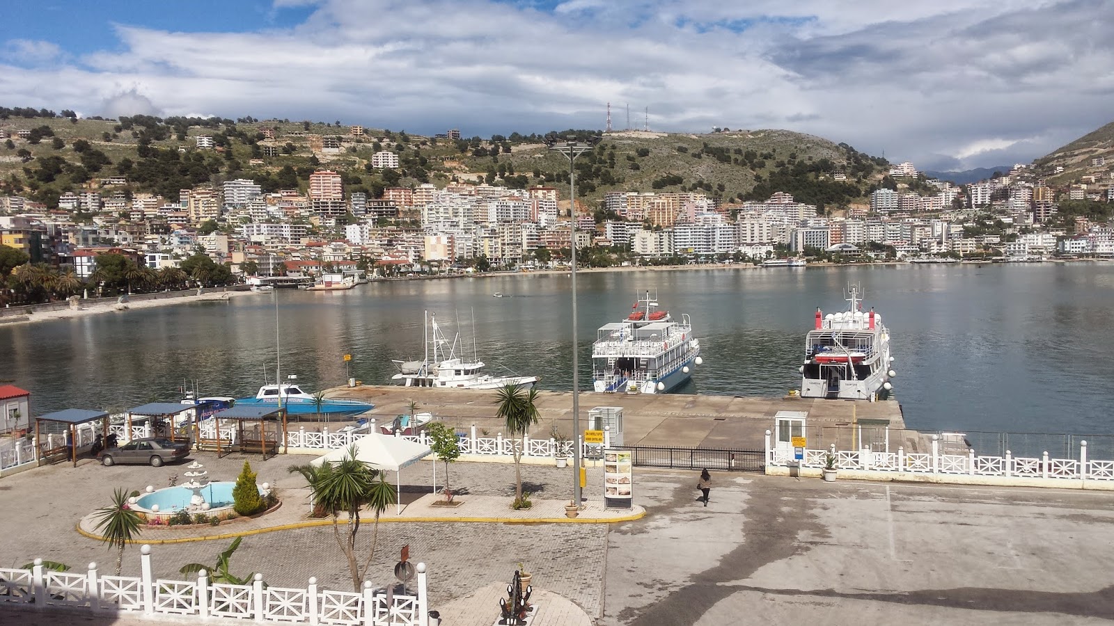
We’d heard mixed reports about Albania, with most of the negative comments coming from people who hadn’t been there, but we found our four days there an absolute delight with wonderful, friendly, smiling and helpful people. Furthermore we found the Sarande region perfectly safe, very low priced and loaded with interesting places to visit.
Albania is a mountainous but fertile country roughly one tenth the size of New Zealand, with a largely rural-based population of 3.5 million, of whom 60% are Muslim with the remainder being Catholic or Orthodox. It was great to hear the regular calls to Muslim prayer again, something we’ve not heard since leaving Turkey. Albania has a rich and colourful history having suffered invasions by Greeks, Romans, Venetians, Turks and French among others. Then for five decades after WW11 Albania was an isolationist, totalitarian, atheist, communist state ruled by iron-fisted President Enver Hoxha, and only in 1991 when the system collapsed did Albania, at that time the poorest country in Europe, start to open up to the outside world.
We used BWA Yachting as agents to clear-in (agents are mandatory), and BWA’s Auron Tate’s best friend is married to a part-Maori New Zealander. She is the daughter of a Mr Taylor who used to be high up in the former New Zealand Communist Party, then emigrated to Albania with his family in the late 1960s to live under the communist system.
BWA had emailed us advising a huge number of documents required to visit Albania, something like 19, including a list of personal effects of all people on board – in fact it all seemed so daunting we were almost put off visiting. In reality though this list applied to commercial vessels, and they only wanted to see our Crew List, passports and Registration Certificate, making it all very simple. The formalities were cheap at 38 Euros (NZ$) and for comparison this costs 150 Euros (NZ$) in Greece. Envoy’s berthage alongside the quay cost 70 Euros (NZ$) for three nights. BWA’s main contact person helping us with practical issues like water and power had the interesting name – Captain Zaho. We shared the same dock with Port Police so the security was excellent.

Envoy quayside in Sarande – security here was very good

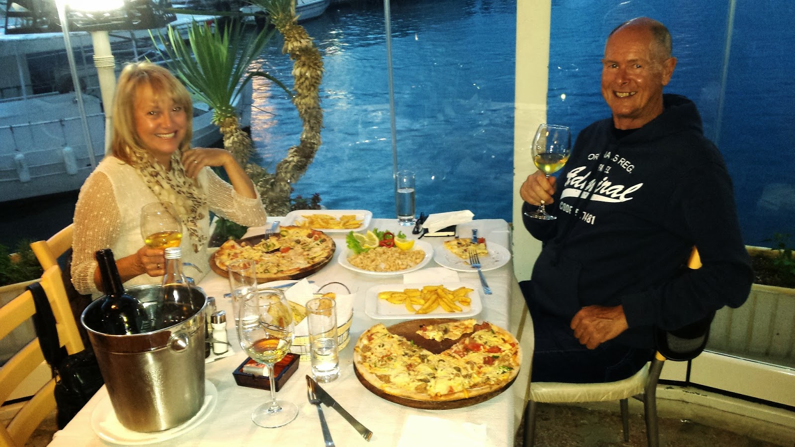
Enjoying a delicious and reasonably-priced dinner at a Sarande waterfront taverna

One of our days there we took a 40 minute bus trip, costing 200 Leke (about NZ$2.25) each return, to see the impressive ruins of Butrint, founded about 1400BC and since settled in turn by all of the various invading countries.

Chris, Di and Laurie exploring Butrint ruins

On the return bus trip we bought a cheap bracelet from an enterprising eleven year old boy who can speak ten languages.

Sitting with Chris in the bus, this enterprising 11 year old Albanian speaks 10 languages

Another day we rented a car and drove about 90 minutes to Gjirokasta, the best preserved Ottoman village in the Balkans overlooked by a castle that became the palace of local ruler Ali Pasha. Here we had a cooked breakfast for three for a total of 1,050 Leke (about NZ$12).

Blue Eye freshwater springs on the way to Gjirokasta

Sombre entrance to Gjirokasta castle, once a prison

Gjirokasta is riddled with atmospheric cobbled lanes

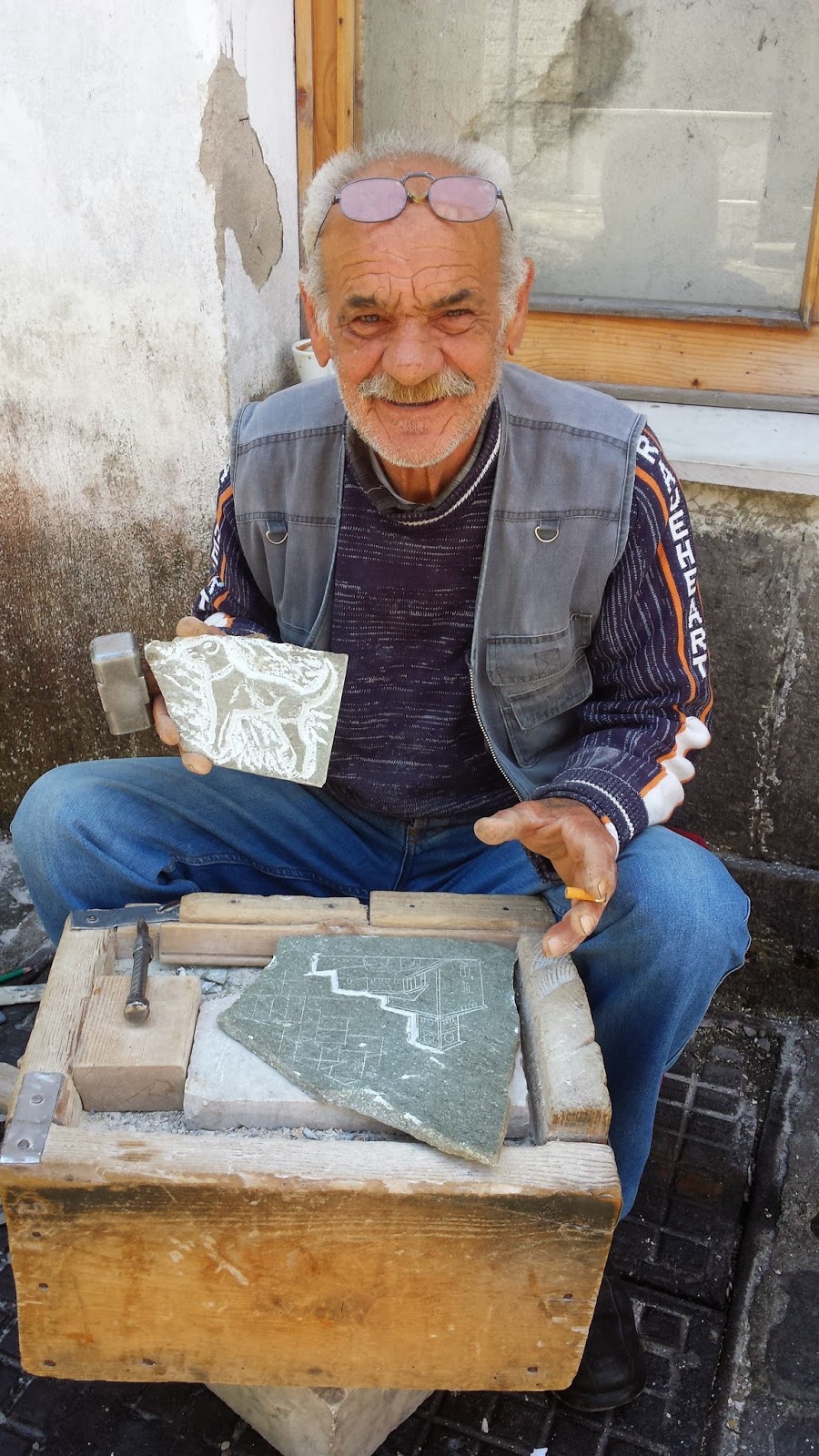
Chris bought a carving from this stone carver working beside a Gjirokasta lane

Our last night we had dinner at the castle overlooking Sarande, with entertainment from an Albanian cultural group. Other patrons included a very lively group of Polish ladies seemingly wanting to make the most of their vacation, and everyone danced to the haunting Albanian music based around a prolonged monotone chant with different performers taking turns to add lyrics and gesticulations in a similar form to rap.

Albanian entertainers pose with guests – they insisted Chris and I wear their hats!

By visiting non-EU Albania for a few days Envoy is able to remain in the EU for a further 18 months without any VAT liability, and we’re now rather intrigued by Albania and plan to return.

TECHNICAL Chris “MacGyver” has project-managed quite a few jobs for us since coming aboard including the installation of a fresh water consumption meter. Envoy carries a generous 980 litres of water in three tanks, but we don’t have contents gauges and only one tank can be accessed for dipping. Up to now we’ve been getting around this by keeping the tanks filled to a high level using additional water stored in plastic containers on deck. We decided to install a consumption meter so that when we start to use a tank we can record the meter reading, know how much water is left in the tank, and know when to change tanks. This means we shouldn’t need to carry so much spare water, and will eliminate the risk of a tank running dry – which results in difficulty re-priming the water pumps. This is now installed downstream from the water pump and the new system is working well.

Chris holding Sensus water gauge prior to installation

ENVOY LOG As at 18/5/14, we’d spent 40 days aboard and cruised 133 miles for 24 engine hours.

Got more pictures!

Tom B. sent more pictures from the yard.  Pictures are of the steps, galley, pilothouse and guest stateroom.  I will try to post them tomorrow if my schedule permits.  Bad cold tonight, so early to bed.

2014-15 Bryon Bay, Whale Bay and Sitka…. All in a Day.

Monday, June 2nd, 2014:  Byron Bay to Whale Bay then Sitka.We pulled the hook about 7:30 this morning and once outside Bryon Bay, headed northwesterly towards Sitka.  By 10AM we were trolling along the north side of Whale Bay.  After 90 …

Day 143 – 365 Project…Brown-headed Nuthatch

Welcome to day 143 of  365 photos…this brown-headed nuthatch was in a tree along the trail today as I took a walk. They are the cutest little birds. The lighting wasn’t the best but I couldn’t resist using him for todays daily photo. Camera: Nikon D7100 – Lens: Nikon 80-400mm Focal Length: 230mm – Aperture: f/6.3 – Shutter… Continue Reading

The post Day 143 – 365 Project…Brown-headed Nuthatch appeared first on Moosetique Musing.

May 31 through June 2, 2014

Saturday the 31st of May, Dog River Marina to Old Lock No. 1 at Mile 100.0 on the Tenn-Tom Waterway:

We left Mobile, AL along with a sailboat and another power boat at 06:20. It was a beautiful morning and Mobile Bay was pretty smooth with just a light chop. The sail boater was a marine and hollered Semper Fi to Keith as we passed him. It took us 35 minutes to get out to the Shipping Channel and then another hour and 20 minutes to take the Shipping Channel into Mobile, Mile 0 on the Tenn-Tombigbee/Mobile River. All the way through the City of Mobile is a No Wake Zone so it was slow going. We saw 14 Tows today with half of them in the Mobile area. I always wave at the Tow Captains and the Captain from “Stephanie” blew his horn for me. It rained on and off for part of the morning and almost steady from about 14:00 to 18:00. At Mile Marker 80 about 14:25 we were shot at by 2 fishermen. Apparently they were mad because we waked them. It was raining quite heavily, they were in camouflage and also in a camouflage boat, and tucked in by the shoreline and we did not see them; if we had seen them we would have slowed down. As it was, we were not even going 9 mph but I guess they were upset. Can’t believe they shot at us!  We averaged about 9 mph all day due to the strong current. Surprisingly there was not much debris in the water at all; we were expecting much more. We got to our anchorage by 18:50 and put 50 feet of anchor rode out in 9 feet of water. Last time we were in this anchorage we had 12 feet of water under us. The tide here is about 1.6 feet. We had a quick supper and an early to bed as we have another long day ahead of us tomorrow.

N31.57519
W88.03516

5-31-2014:  Old Lock #1, Mile 100.0 on the Tenn-Tom. 

5-31-2014:k  Leaving anchorage at Old Lock #1, Mile 100.0 on the Tenn-Tom. 

Sunday the 1st of June, Old Lock #1 to King Fisher Bay Marina, Demopolis, AL, Mile 216.7 on the Tenn-Tom Waterway:

We were on our way at day break; 05:20. It was clear all night and sun shine with just a few clouds this morning and the temp was 72 degrees. We got to the Coffeeville Dam by 07:10 and had to wait ½ hour for a tow and another boat locking down. We locked up 34 feet. From now on we no longer have to worry about tides. It turned into a beautiful day with just 2 short rain showers in the afternoon. We encountered 6 tows throughout the day and averaged between 9 and 10 mph. We traveled 116 miles in 13.25 hours with 2 locks and got to Kingfisher Bay Marina in Demopolis, AL, by 18:45. We were both very tired but glad to finally get here. We had a quick dinner, watched a little TV, and early to bed. I did not get up until 09:00 on Monday.

N32.53114
W87.84155

CO’s comments  The forecast for Sunday all the way to Demopolis was dume and glume.  This was another day that the forecasters got it all wrong.  We only had 45 drops of rain on the boat all day.  Thank goodness for our hard top on the bridge and no isinglass because Saturday it rained.   We talked with another boater that was ahead of us on Saturday and he had canvas and isenglass and he spend the whole day mopping up water and looking through a crack in his isinglass just to see where he was going.  We came up behind a tow that was close to a bend in the river and asked to pass at  his convenience.  He came back and said he would stop so we could pass him before the bend because it would take him a long time to maneuver the bend and he would completely utilize the whole river.  In all our years in traveling the river system, this is only about the 3rd time a tow captain has been so courteous.  The XO called him back and thanked him very much.

 
6-1-2014:  Heron on the side of the river.


6-1-2014:  Demopolis Lock and Dam.

May 31 through June 2, 2014

Saturday the 31st of May, Dog River Marina to Old Lock No. 1 at Mile 100.0 on the Tenn-Tom Waterway:

We left Mobile, AL along with a sailboat and another power boat at 06:20. It was a beautiful morning and Mobile Bay was pretty smooth with just a light chop. The sail boater was a marine and hollered Semper Fi to Keith as we passed him. It took us 35 minutes to get out to the Shipping Channel and then another hour and 20 minutes to take the Shipping Channel into Mobile, Mile 0 on the Tenn-Tombigbee/Mobile River. All the way through the City of Mobile is a No Wake Zone so it was slow going. We saw 14 Tows today with half of them in the Mobile area. I always wave at the Tow Captains and the Captain from “Stephanie” blew his horn for me. It rained on and off for part of the morning and almost steady from about 14:00 to 18:00. At Mile Marker 80 about 14:25 we were shot at by 2 fishermen. Apparently they were mad because we waked them. It was raining quite heavily, they were in camouflage and also in a camouflage boat, and tucked in by the shoreline and we did not see them; if we had seen them we would have slowed down. As it was, we were not even going 9 mph but I guess they were upset. Can’t believe they shot at us!  We averaged about 9 mph all day due to the strong current. Surprisingly there was not much debris in the water at all; we were expecting much more. We got to our anchorage by 18:50 and put 50 feet of anchor rode out in 9 feet of water. Last time we were in this anchorage we had 12 feet of water under us. The tide here is about 1.6 feet. We had a quick supper and an early to bed as we have another long day ahead of us tomorrow.

N31.57519
W88.03516

5-31-2014:  Old Lock #1, Mile 100.0 on the Tenn-Tom. 

5-31-2014:k  Leaving anchorage at Old Lock #1, Mile 100.0 on the Tenn-Tom. 

Sunday the 1st of June, Old Lock #1 to King Fisher Bay Marina, Demopolis, AL, Mile 216.7 on the Tenn-Tom Waterway:

We were on our way at day break; 05:20. It was clear all night and sun shine with just a few clouds this morning and the temp was 72 degrees. We got to the Coffeeville Dam by 07:10 and had to wait ½ hour for a tow and another boat locking down. We locked up 34 feet. From now on we no longer have to worry about tides. It turned into a beautiful day with just 2 short rain showers in the afternoon. We encountered 6 tows throughout the day and averaged between 9 and 10 mph. We traveled 116 miles in 13.25 hours with 2 locks and got to Kingfisher Bay Marina in Demopolis, AL, by 18:45. We were both very tired but glad to finally get here. We had a quick dinner, watched a little TV, and early to bed. I did not get up until 09:00 on Monday.

N32.53114
W87.84155

CO’s comments  The forecast for Sunday all the way to Demopolis was dume and glume.  This was another day that the forecasters got it all wrong.  We only had 45 drops of rain on the boat all day.  Thank goodness for our hard top on the bridge and no isinglass because Saturday it rained.   We talked with another boater that was ahead of us on Saturday and he had canvas and isenglass and he spend the whole day mopping up water and looking through a crack in his isinglass just to see where he was going.  We came up behind a tow that was close to a bend in the river and asked to pass at  his convenience.  He came back and said he would stop so we could pass him before the bend because it would take him a long time to maneuver the bend and he would completely utilize the whole river.  In all our years in traveling the river system, this is only about the 3rd time a tow captain has been so courteous.  The XO called him back and thanked him very much.

 
6-1-2014:  Heron on the side of the river.


6-1-2014:  Demopolis Lock and Dam.

Weather to stay or weather to go?


We are heading out on a three day run from Grand Cayman Island to Key West Florida. We’ve consulted with our weather router, Omni Bob and studied the various weather websites. We should have a nice little weather window to travel north, around the east coast of Cuba and into the Florida Keys.


Prior to purchasing Anna Mae the agreement was that I would make the decision to travel depending on weather and sea conditions. I am giving a green light to leave this afternoon, with an ETA of Thursday mid day. 

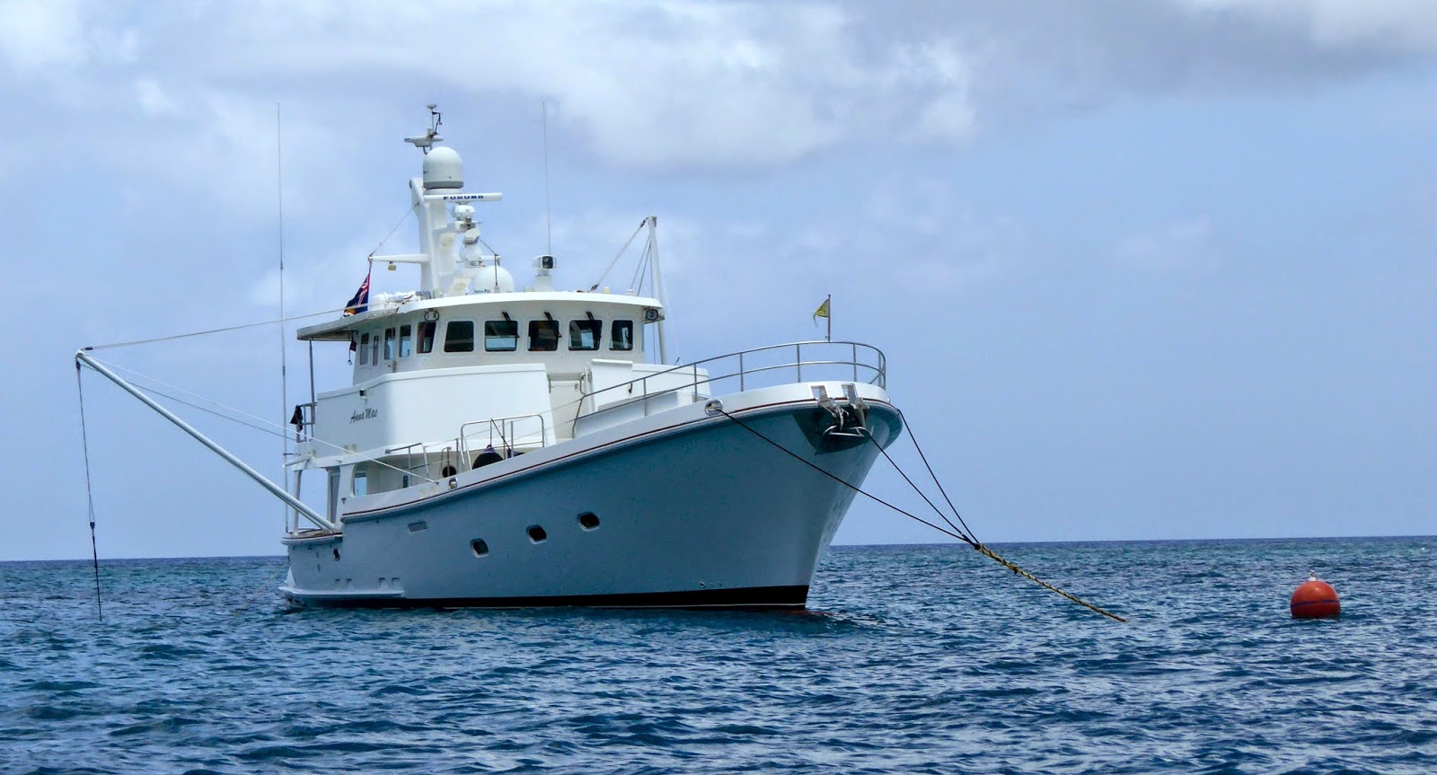
Grand Cayman Island has been a relaxing and interesting place to visit. This was a first for Anna Mae, being tied to a mooring ball. Bill generally doesn’t trust them, unfortunately it was our only option. The reef around the island is protected and anchoring is prohibited. 

Anna Mae has been out of the states for 6 months. we are looking forward to getting back into US waters.

Weather to stay or weather to go?


We are heading out on a three day run from Grand Cayman Island to Key West Florida. We’ve consulted with our weather router, Omni Bob and studied the various weather websites. We should have a nice little weather window to travel north, around the east coast of Cuba and into the Florida Keys.


Prior to purchasing Anna Mae the agreement was that I would make the decision to travel depending on weather and sea conditions. I am giving a green light to leave this afternoon, with an ETA of Thursday mid day. 

Grand Cayman Island has been a relaxing and interesting place to visit. This was a first for Anna Mae, being tied to a mooring ball. Bill generally doesn’t trust them, unfortunately it was our only option. The reef around the island is protected and anchoring is prohibited. 

Anna Mae has been out of the states for 6 months. we are looking forward to getting back into US waters.

Stranded in Paradise

On Tuesday, May 6th, we crossed the Gulf Stream to Bimini, our first intended stop in the Bahamas. Actually, “Bimini” consists of two islands, North Bimini and South Bimini, and the marina we chose, the Bimini Sands, is located in a very protected and serene harbor on the island of South Bimini. It was a great place to come back to each day after experiencing what the Biminis have to offer.

Whenever we wanted to cross over to Alice Town on North Bimini, we just walked to the ferry landing at Buccaneer Point (a 10-15 min. walk on a dirt road) and for a $2 fee we took a very short ride (literally two minutes!) across the channel separating the two islands.

Alice Town, the heart of North Bimini, is best explored on foot, and this we did on the morning of our first full day in the Bahamas. Just a short distance from the ferry landing at the edge of town we came across this ruins and quickly realized that it is the remains of Ernest Hemingway’s favorite haunt, The Compleat Angler Hotel, which burned to the ground in 2006 and has been left as is, an interesting monument to a bygone era in Bimini’s colorful history.

A little further along the main street, called the King’s Highway, we began to see some small, well-tended, pastel-colored shops and restaurants as we walked on the shady side of the street toward our first destination, the Bahamas Telecommunications Company office, to purchase a BTC SIM card for the unlocked cell phone we had brought with us.

Having completed that little chore successfully, we decided to reward ourselves with an early lunch. While searching for a suitable waterfront restaurant, we were greeted by a friendly looking Bahamian woman at the entrance to the Bimini Big Game Club Resort & Marina. Not sure whether it was open to the public, I asked her if it would be alright for us to go in and have a look around. With a big smile on her face she replied, “You can do anything you want, Mama; you’re in the Bahamas!” And that set the tone for not only that day, but every day we spent in Bimini.

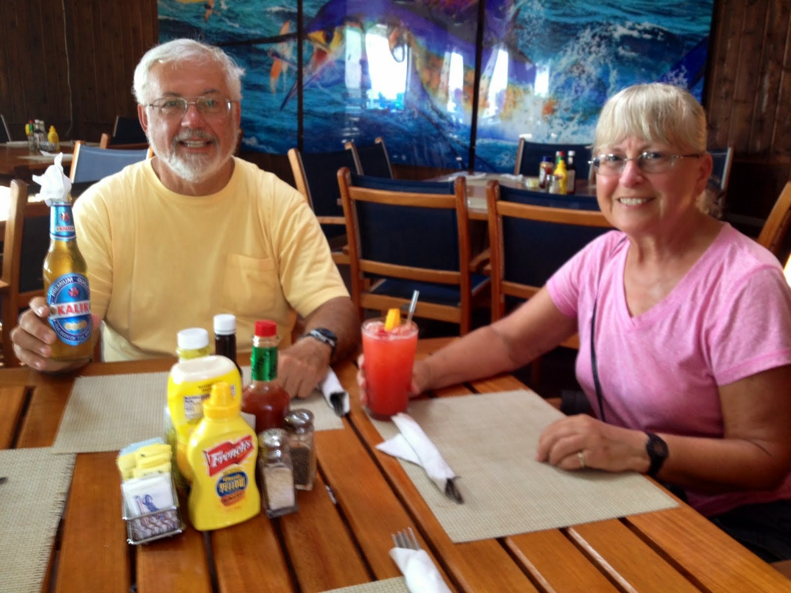
A quick look around convinced us that this would be a pleasant spot to stop for lunch, so we did. To quench our thirst after our morning walkabout, we started off with some tasty local beverages, a Kalik beer for Ken and a Bahama Mama (of course!) for Sharon.

After a delicious lunch of Mahi Reuben (for Ken) and Conch Salad (for Sharon), followed by a photo op in front of someone’s impressive catch, we headed back to the ferry that would return us to South Bimini, deciding that we would leave further explorations of Alice Town and the rest of North Bimini for another day.

The walk back to our marina gave us an opportunity to reflect on our impressions of this little slice of the Bahamas (and more specifically, Bimini) and its people, based on our experiences so far. Of course the tropical beauty of these islands and the gorgeous turquoise waters surrounding them come to mind immediately, but what caught us off guard was the friendly, welcoming attitude of nearly everyone we encountered along the street in Alice Town. “Good morning.” “ How are you?” “Welcome to the Bahamas!” These phrases were repeated time after time as we passed local pedestrians along the King’s Highway on that first day.

Back “home” at the Bimini Sands, satisfied with the morning’s explorations, but hot and tired from the excursion as well, we settled into what would become our daily routine: early afternoon nap followed by a dip in one of the resort’s swimming pools or a walk on one of its beaches.

Thinking that we would only have a few days more before moving on across the Great Bahama Bank to the Berry Islands, we went back to Alice Town the following morning determined to find the famous Dolphin House, conceived and built by Bahamian visionary artist and historian, Ashley Saunders.

Still a work in progress, this extraordinary building, a combination of residence, museum, and gift shop, lovingly constructed out of a huge variety of found and/or discarded materials, is a tribute to this incredible man’s love of dolphins and also of Bahamian history. We were lucky to find him there when we arrived unannounced, and he graciously invited us in for a guided tour.

Ending our tour in the downstairs museum and gift shop, Mr. Saunders pointed out various quotes written on the ceiling, including this one attributed to Ernest Hemingway which he said that he always makes visiting school children read.

Back on South Bimini we decided to take advantage of the free transportation (which we called the Happy Bus) provided by our marina to visit their sister establishment at the southern end of the island, the Bimini Sands Beach Club.

On this site, along with a rather nondescript marina, more beautiful beaches and another swimming pool, are two restaurants: one a fine dining establishment called the Bimini Twist, plus a casual local favorite bar and grill called Mackey’s Sand Bar. The latter is named after Col. Joe Mackey, owner of the famous Mackey International Airlines, who pioneered routes to the Bahamas back in the 1950’s and was also the previous owner of this property.

Monitoring weather conditions and forecasts (especially wind direction and velocity, plus wave heights in the ocean waters surrounding us) was an important daily routine. As long as we were securely tied to a dock in this safe haven, very breezy weather was welcome since it made very warm days more comfortable and kept away any troublesome insects. However, we were hoping for conditions more favorable to safe cruising so that we could make the 90 mile open water crossing from Bimini to Great Harbour Cay in the Berry Islands as planned. Along with other sources, we utilized the Sirius XM Weather feature on our Garmin electronic GPS system to access marine weather forecasts, and so far what we were seeing did not bode well for leaving Bimini anytime soon.
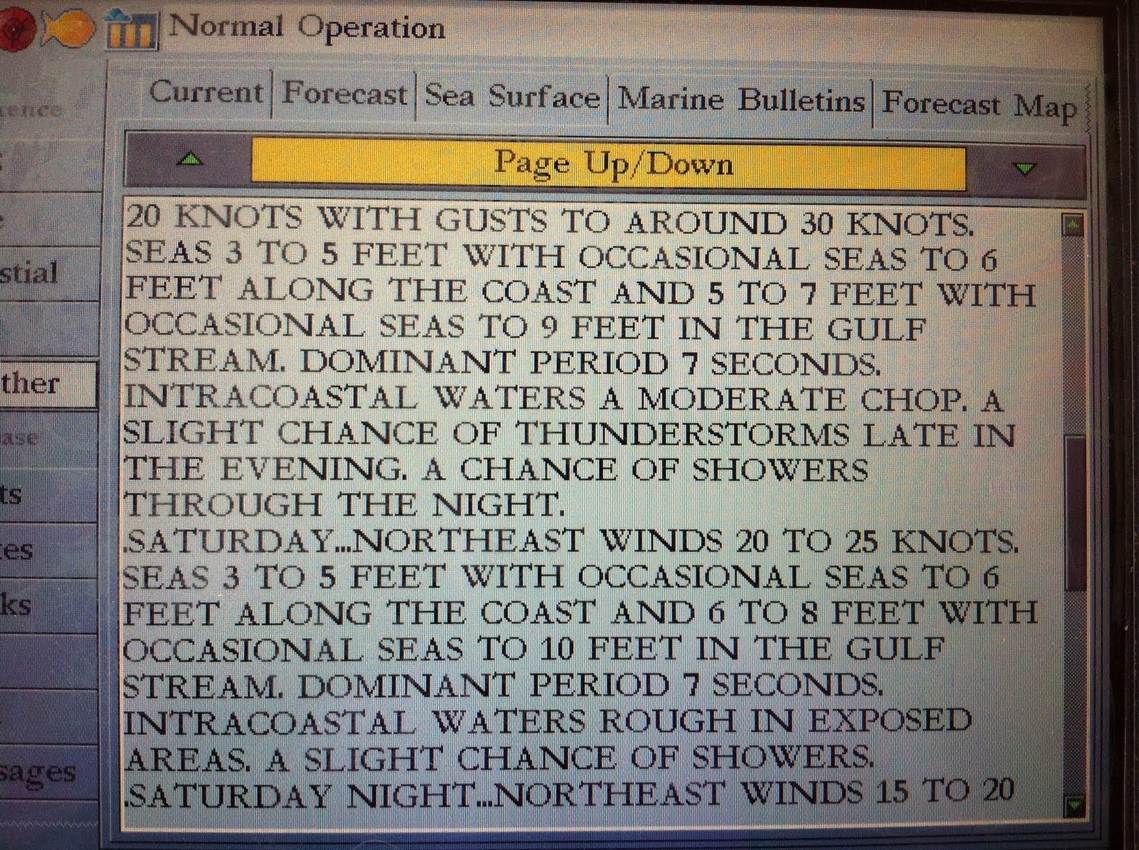
Experienced cruisers we have consulted over the years concerning traveling by boat to/from/in the open waters of the Bahamas seem to agree on these three most important bits of advice: wait, wait, and wait (until the weather conditions are right). And each time (during what finally turned out to be our 17 day stay at the Bimini Sands) that we agonized over whether we were being too cautious by choosing to remain in our safe port, a boat would arrive with crew so beat up and exhausted by the adverse conditions they had just endured, our decision was validated once again.

Finally, we just decided to amend our cruise plans and cancelled the Berry Islands segment. We were having such a great time in the Bimini Islands, so why not just enjoy ourselves? So that’s what we did. Instead of rushing around to see everything of interest in just a few days, we slowed down the pace, adjusting our internal clocks to island time. Rather than feeling that we had to “go somewhere” each day, we began to realize that interesting things were happening right where we were, if we would just stop and take notice.

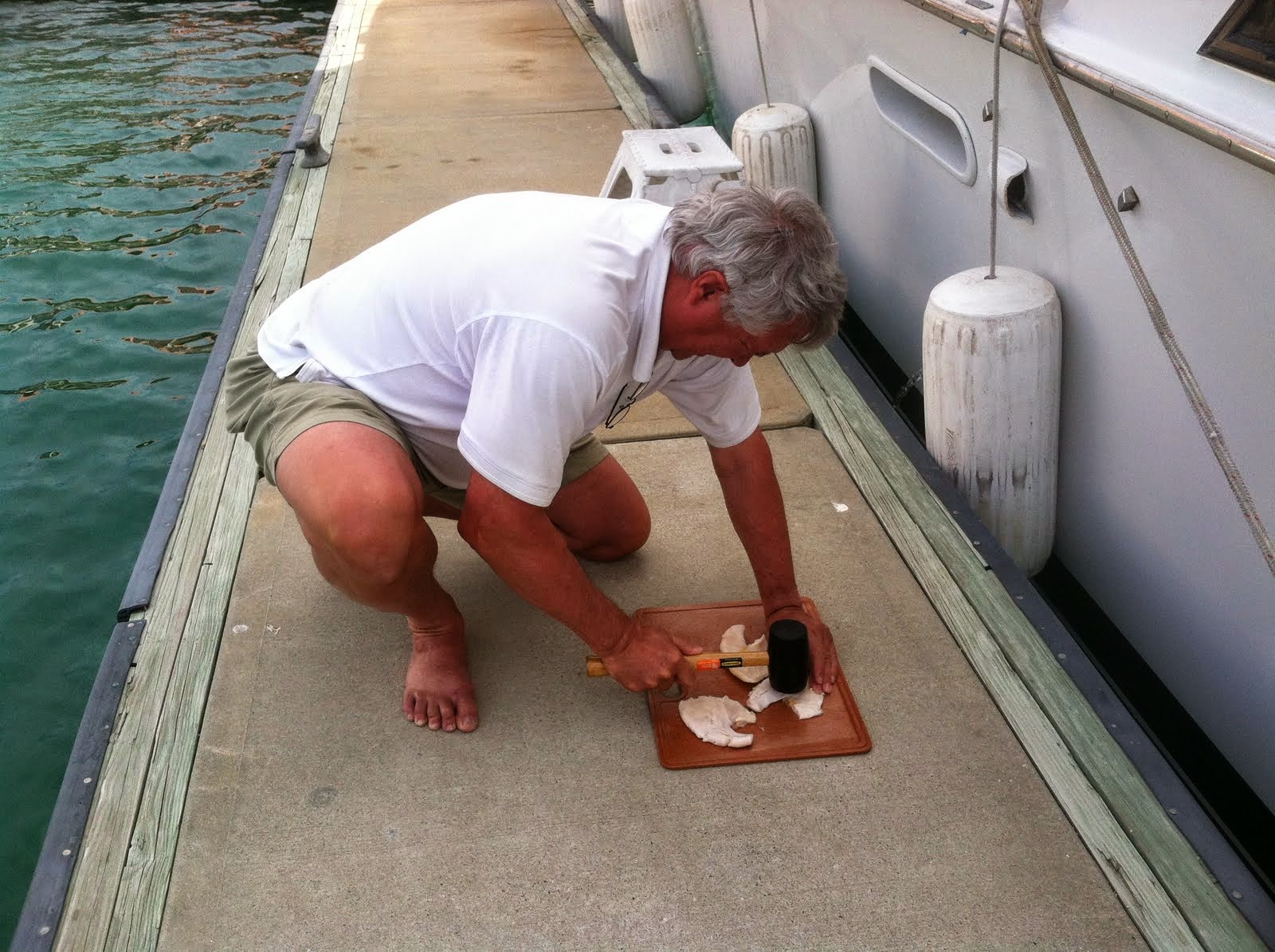
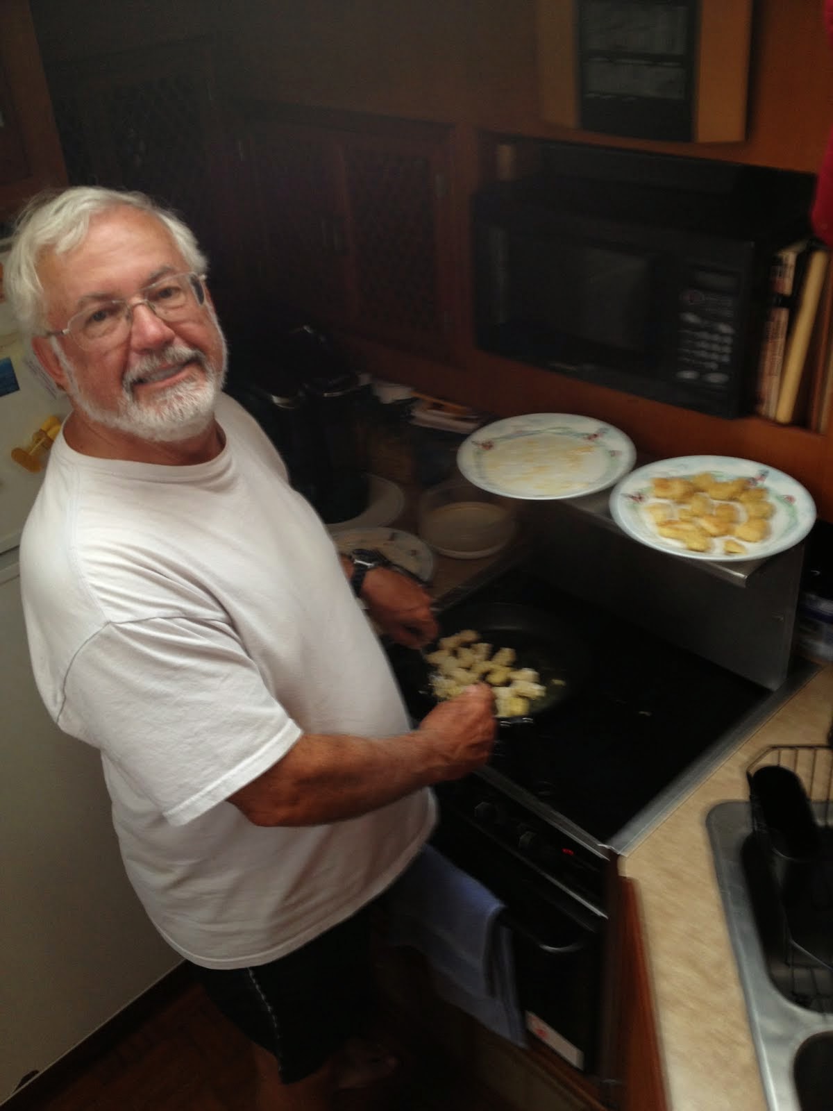
Our friend and crewmate, Don, was becoming quite skilled at spotting opportunities to acquire fresh fish right on our dock from locals who had braved the angry seas. First he scored some Hogfish (which Ken turned into a delicious meal), and before we knew it he showed up with a big bag of freshly cleaned Conch. Of course, it required a bit of pounding to tenderize it before Ken once again created a mouth-watering treat.

On Friday, May 16th, day ten of our Bimini adventure, we began to switch our weather watching focus to planning for our return trip across the Gulf Stream to Florida. But with marine forecasts more troublesome than ever for the weekend to come (seas of 6-10 ft.), we began to notice large sport fishing boats arriving, actually surfing through the normally calm entrance to our marina and tying up to the docks near us.

Who were these crazy people, we wondered, and why were they venturing out in such angry seas? A few questions to marina staff revealed the answer: a big fishing tournament was about to begin, and we were going to have front row seats when they came in to weigh their catch. A couple of days before, a group of guys had shown up with a whopping 12 mahi mahi, so we wondered what these tournament contenders could produce to match or surpass that, if they dared to even go out fishing in such awful conditions.

As it turned out, only about half of the boats expected for the tournament actually showed up because of the poor conditions, but it was exciting none the less to watch them struggling to get out through the waves breaking at the marina entrance in the morning and then hearing them swapping tales of bravado at the end of the day as they weighed their catch. It was so rough, in fact, that the huge sport fishing boat next to us came back with a broken granite counter top!

By Sunday afternoon most of the tournament boats had left, and things were getting back to normal, everything, that is, except for the waves in the Gulf Stream, visible even without our binoculars, and appearing like a herd of elephants marching across the distant horizon. But on this day, we really didn’t care. It was May 18th, my 68th birthday, so we spent part of the day enjoying a walk on the beach, followed by a gourmet dinner at the Bimini Twist, culminating with a dramatic sunset over the Atlantic Ocean. Not bad, huh?

One of the things we loved about our marina was that you never knew what you would see coming and going from one day to the next, from high speed Cigarette boats with engine trouble, to ferry boats dropping off people headed to the airport, to tankers and freighters delivering goods, then turning around in the harbor and heading back out again.

Yet with all of these boats coming and going, and even with fish cleaning tables scattered along the docks, somehow, miraculously, the water in the marina remained clear and clean, home to a host of beautiful tropical fish, appearing almost like a saltwater aquarium. We regularly saw schools of little black-striped Sergeant Majors, some beautiful Rainbow Parrotfish, plus a couple of baby Barracudas. One day we even saw a Spiny Lobster sitting among the rocks in the water right in front of our boat! Obviously, he knew that lobster catching season was over and wouldn’t begin again until August

By now we were getting used to sunny, breezy days in Bimini, and were almost taken by surprise when it did finally rain one day.

But this front also signaled a change in the weather pattern, and as we studied the marine forecast for the next several days, we began to see that an appropriate weather window might materialize soon that would allow us to safely cross the Gulf Stream back to Florida. With that in mind, we discussed what else we still wanted to do and see before leaving Bimini.

We knew that there was more on the island of North Bimini than we had explored on foot, so we decided to rent a golf cart so we could venture further a field than Alice Town, through Bailey Town to the Bimini Bay Resort and Marina, the newest and most luxurious facility in Bimini. At the Port of Miami, we had seen the huge 1200-1500 passenger Resorts World Bimini SuperFast Ferry at its mooring and heard that it was capable of whisking people over to the resort in just two hours. So we were surprised to find it nearly deserted.

Apparently, the same rough conditions that had kept the “Docker” confined to our comfortable marina at the Bimini Sands had also kept the SuperFast Ferry from leaving Miami. Also at issue is the new jetty under construction near the resort which has run into delays due to legal problems.

Back in Alice Town, we went up and down some of the side streets that connect the Kings Highway to its parallel road, the Queen’s Highway which runs along the western shoreline of North Bimini, a view of which we had seen previously from the rooftop of the Dolphin House. But now we had the time to take a closer look.

While doing so, we stumbled across an interesting cemetery and ruins, wondering what tales they had to tell which we would never know.

Then it was back to the Bimini Big Game Club for one last lunch and a walk along their docks before dropping off the golf cart and heading back to South Bimini.

Oops, did we really forget to stop at the End of the World Saloon? No draft beer? Too bad.

We knew that the island of South Bimini also had more experiences to offer than we had the time on this trip to take advantage of, such as touring the Bimini Biological Field Station Shark Lab, where the role of the Lemon Shark in the tropical-marine ecosystem is researched. The day we stopped by, the team was just heading out, so we left them to their work.

That same day we passed by the entrance to the Bimini Nature Trail, but without our insect repellent handy, we decided to forego that experience. We did come across this little guy though, right at the edge of the dirt road we were walking along.

As so accurately predicted, the weather turned in our favor after 17 wonderful days stranded in paradise. With winds of 5 knots or less and only a light chop on the ocean waters, we decided to take advantage of the northward push of the Gulf Stream, and on Frday, May 23rd, we cruised comfortably all the way from Bimini to the Lake Worth Inlet and on to the North Palm Beach Marina, traveling a total of 92.8 miles in just about eight hours.

Since this was the beginning of the Memorial Day weekend, we did encounter a few crazy, inconsiderate recreational boaters who waked us pretty severely as we entered Lake Worth, so we left all of that madness behind us and continued on to the welcoming serenity of Loggerhead Club & Marina -Vero Beach, our home port marina, the following day. Ah!