May 1 – Palatka, FL

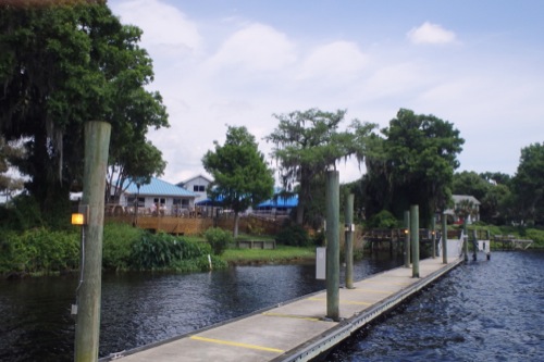
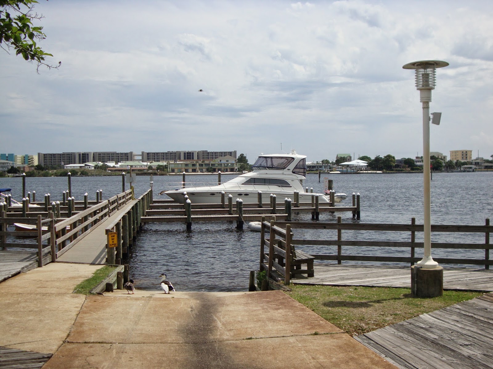
Palatka City Dock

We continued our way down river today, retracing our path from a few weeks ago and trying to soak in anything we might have missed. We kept our eyes open for eagles, alligators and manatees…no gators or manatee, but we did see two eagles today, one flew past us this morning while we had coffee on the deck and another was in a tree above the dock at Corky Bell’s where we had lunch.

We had a nice cruise, although a little warm, back to the Palatka area. Our first stop was at Corky Bell’s for lunch. We could have spent the night on their dock…which we planned to do, but we found out their were having a bass tournament this evening and we knew that would more action than we wanted to be part of. So after a good, but too big, lunch we moved to the Palatka city dock. We had another small afternoon shower…this is getting to be a routine, but no large storms.

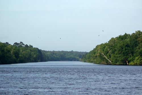
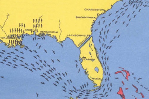
On our way into the Palatka area we passed a canal that was dug as the eastern section of the Cross Florida Barge Canal. This canal would have connected the Atlantic Ocean with the Gulf of Mexico. In 1964, President Johnson commenced the building of the Cross Florida Barge Canal. The nearly 200-mile long, 30 foot deep canal would dwarf the Panama and Suez canals. The Canal would begin in Jacksonville and travel down the St. John’s River through Palatka, follow the path of the Ocklawaha River to Silver Springs, then cut west below Ocala until it entered the Gulf of Mexico near Yankeetown. The project was estimated to cost upwards of $300 million to build but would have provided a critical link between Mississippi River commerce and the east coast.

Only seven years after its authorization, President Nixon announced he was stopping all work on the canal to prevent further environmental damage to the Ocklawaha River. Less than one third built, the canal remains the largest public works project in American history to be halted in the midst of construction. Two sections of the project were completed before being called. The area around the barge canal is now a protected green belt corridor, named Marjorie Carr Cross Florida Greenway, after the leader in the fight against the canal construction. 

Corky Bell’s Seafood Restaurant 

Looking at the Buckman Lock on what was to be the Cross Florida Barge Canal 

This canal definitely would have changed the looks of Florida and which areas grew. The canal wouldn’t have been this straight through the state or this large, but it gives you an idea of what it would have been like. 

When the weather is good . . .

The answer to the question is ” . . . keep moving.” And so we have.

We arrived at the Discovery Harbour Marina in Campbell River the late morning on Tuesday, April 29. Wev’e been targeting that day because the slack current before the ebb flow at Seymour Narrows (8 miles north of Campbell River) was 6:22 AM. The ebb current from Campbell River north to the end of Vancouver Island flows north. When you are travelling in a slow boat like Alpenglow, you pay attention to the current because it makes a huge difference in your speed.

The weather on April 30 set up well and we took off at 5 AM in the early twilight. We hit the narrows about five minutes late, going through with several other boats (including the Alaska high speed ferry MV Fairweather). The moderate winds were on our tail and blowing in the same direction as the current making the ride easy. We motored along between 8 and 10 knots boosted by the current.

While the current wasn’t always in our favor, by the end of the 13 hour day, we reached Cullen Harbour, 89 miles from Campbell River. While at anchor that evening, the sun warmed the surrounding air to the low 70’s, pretty good for the last day of April.

May 1 dawned equally as nice and another early start found us in Queen Charlotte Strait headed north around Cape Caution. While we dropped our stabilizer poles in case we needed to deploy the stabilizing fish, the very low swell and modest chopped made them unnecessary.

We were surprised how light the vessel traffic was having seen only one other north bound pleasure craft and only a few other commercial craft going in either direction. We ended our day, 84 miles further along, in Kwakume Inlet on the mainland side of Fitz Hugh Sound. While the evening wasn’t quite as warm, we did enjoy upper 60’s from the flybridge seats after dinner.

The plan is to continue moving so long as the weather permits safe & comfortable travel.

Pin Mill down the Orwell Part 1

Cheers,
   I won’t be typing this address much longer!  I’m still having to get used to the idea that “the locals” speak English and soon we’ll be moving to where they don’t.  I’m going to make at least one or two more visits to the book shelves at the Charity shops to load up.  I […]

Rained out

I’m sure even those of you who don’t live in the recently water logged northeast heard of our biblical rains yesterday.  It poured with a roaring sound for at least 12 hours straight.  Places that were thought impervious to mud slides had mud…

April 30 – Welaka, FL

Bryant’s Wharf Public Dock

“Life isn’t about finding yourself. Life is about creating yourself.” ―George Bernard Shaw

When we were in Welaka a few weeks a local man told us about several places we should explore. We didn’t have time to see those places on our first visit, but we did today. We took the dinghy down and headed north to check out Welaka Spring first. The spring was very small and unimpressive, but the area around it was very pretty. Our next stop was Mud Spring. It’s located in Welaka State Forest, we took our dinghy through Little Lake George and up Mud Creek, but it can also be accessed along a hiking trail. There is a nice picnic area around the spring and the spring forms a pool that you can swim in. Both springs we saw today are very small compared the others we’ve been too.

On the way back to the boat we rode up Bear Creek to the Oklawaha River. Both were beautiful and lush…we felt like we were in a jungle. It looks so jungle like, that filmmakers used an area close by to film Tarzan movies during the 1930s and 40s. Locals have told us there are monkeys in the area, decedents of those that got loose during filming. We were also told today by a couple, that they see monkeys around the Mud Spring area regularly…but we didn’t see any today.

We’re still waiting on the storms that are moving this way. We’ve gotten afternoon showers the past few day but then it clear up…nothing like they’re getting north of here. This evening we had quite a few visitors on the dock; everyone was interested in the boat and where we’d been. One young lady I was visiting with even gave us a pie…the people in Welaka are very nice.


Welaka Spring

Mud Spring entrance from Mud Creek

Mud Spring

One of the trails around Mud Spring 

Bear Creek


A map of the area we explored today.

This little guy was hanging around the boat this evening. He even came closer when I started talking to him.

A Little Weird Science -Looking For A Soft LED Lighting Color That Dims Sufficiently

We are always looking for a better, simpler way of doing things, and this frequently includes testing. Right now we are working on LED lighting, looking for the best combination of light, color temperature, and dimming ability. Mark Fritzer put together the board in the first photo to test a variety of spot lights, rope […]

Apalachicola to Pensacola

After two days in Apalachicola it was time to move on. For the first few miles we fought a strong outgoing tide. Once the Apalachicola River turned North the tide switched and we had a nice shove from behind.

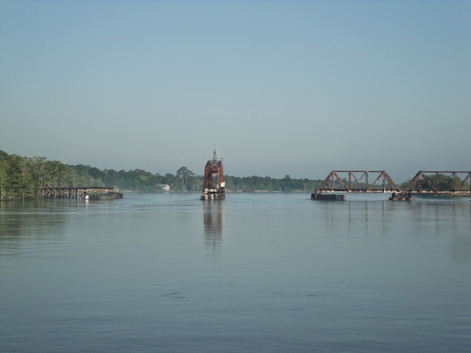
We passed through the Apalachicola RR Bridge which is normally open.

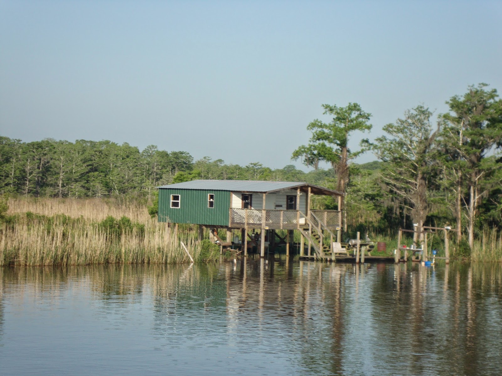
We also passed this fishing shack along the GICW.

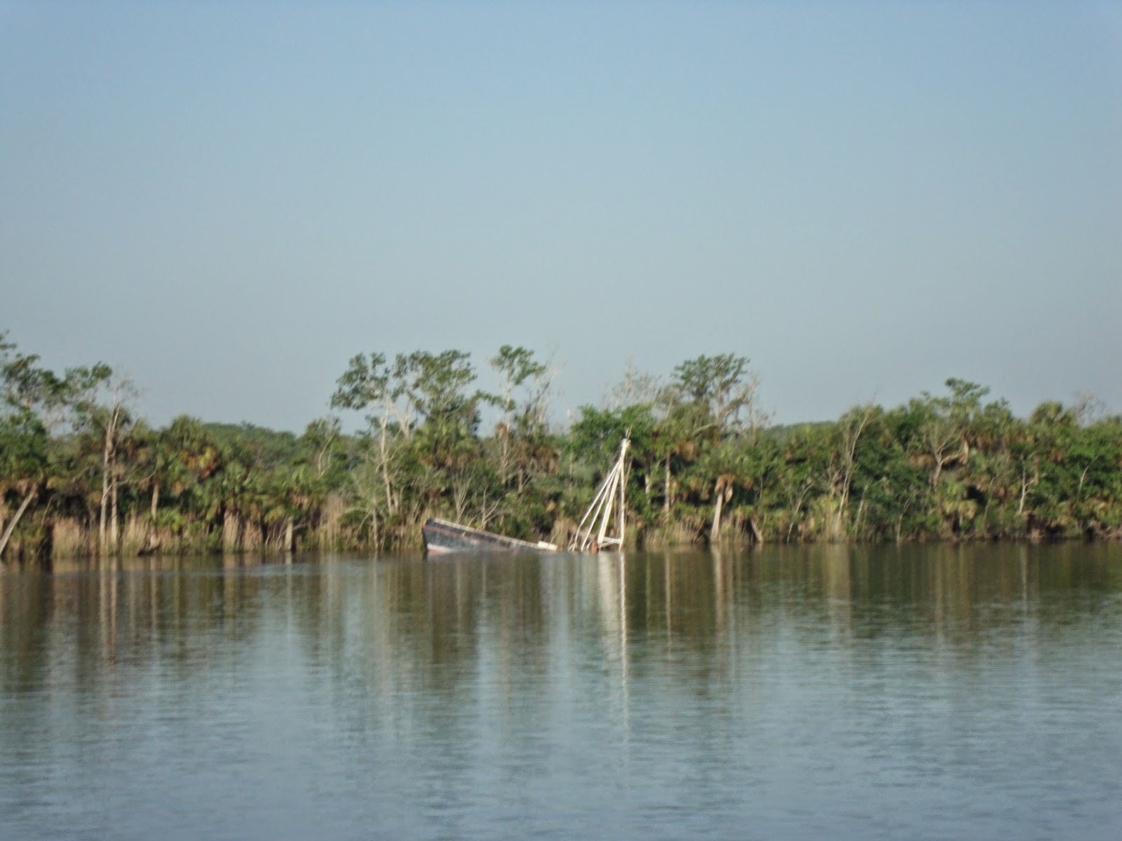
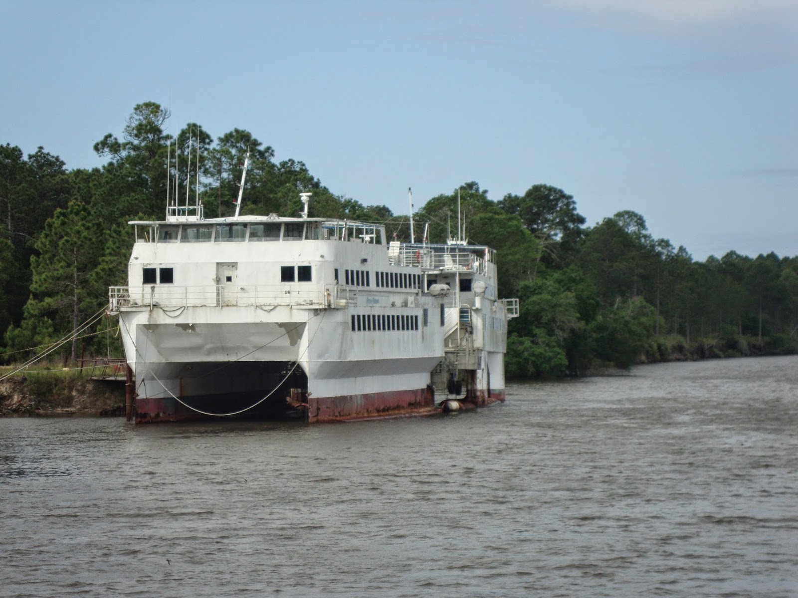
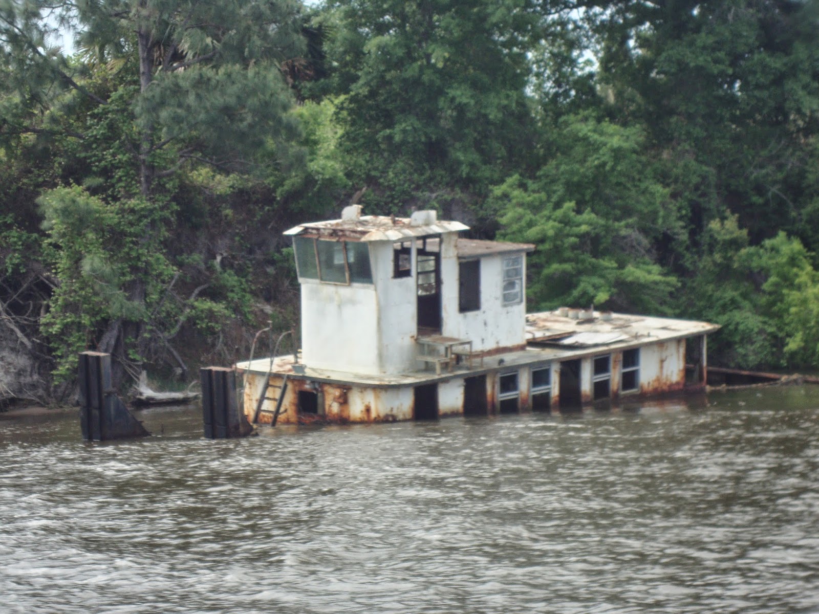
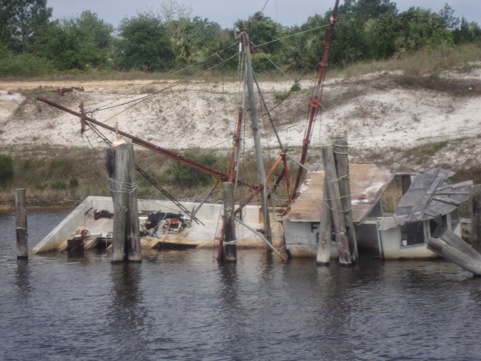
And of course the token sunken boat.

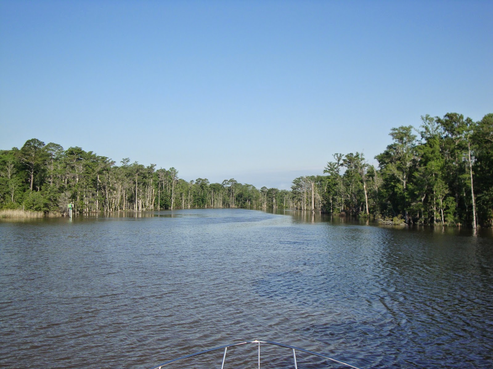
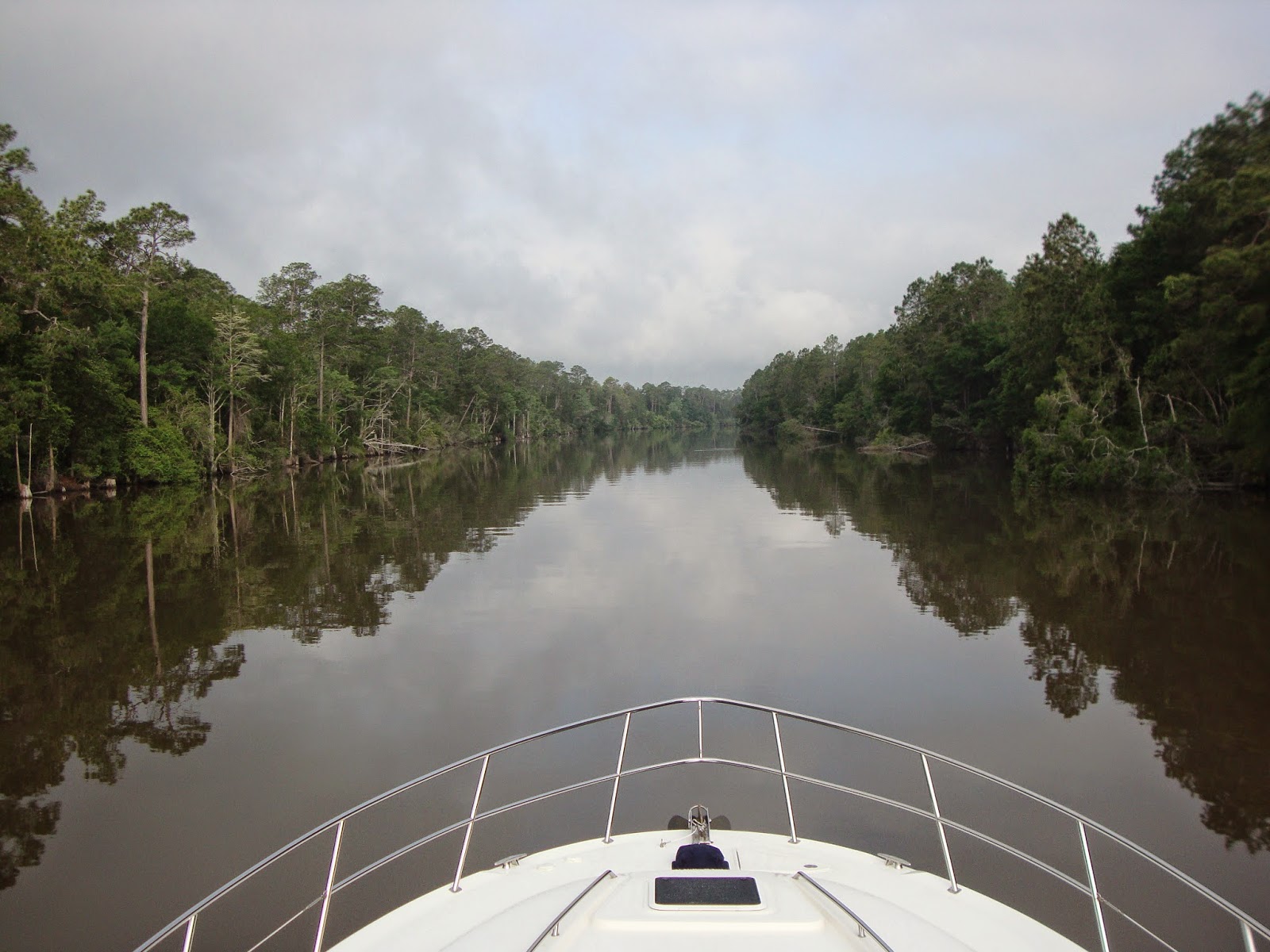
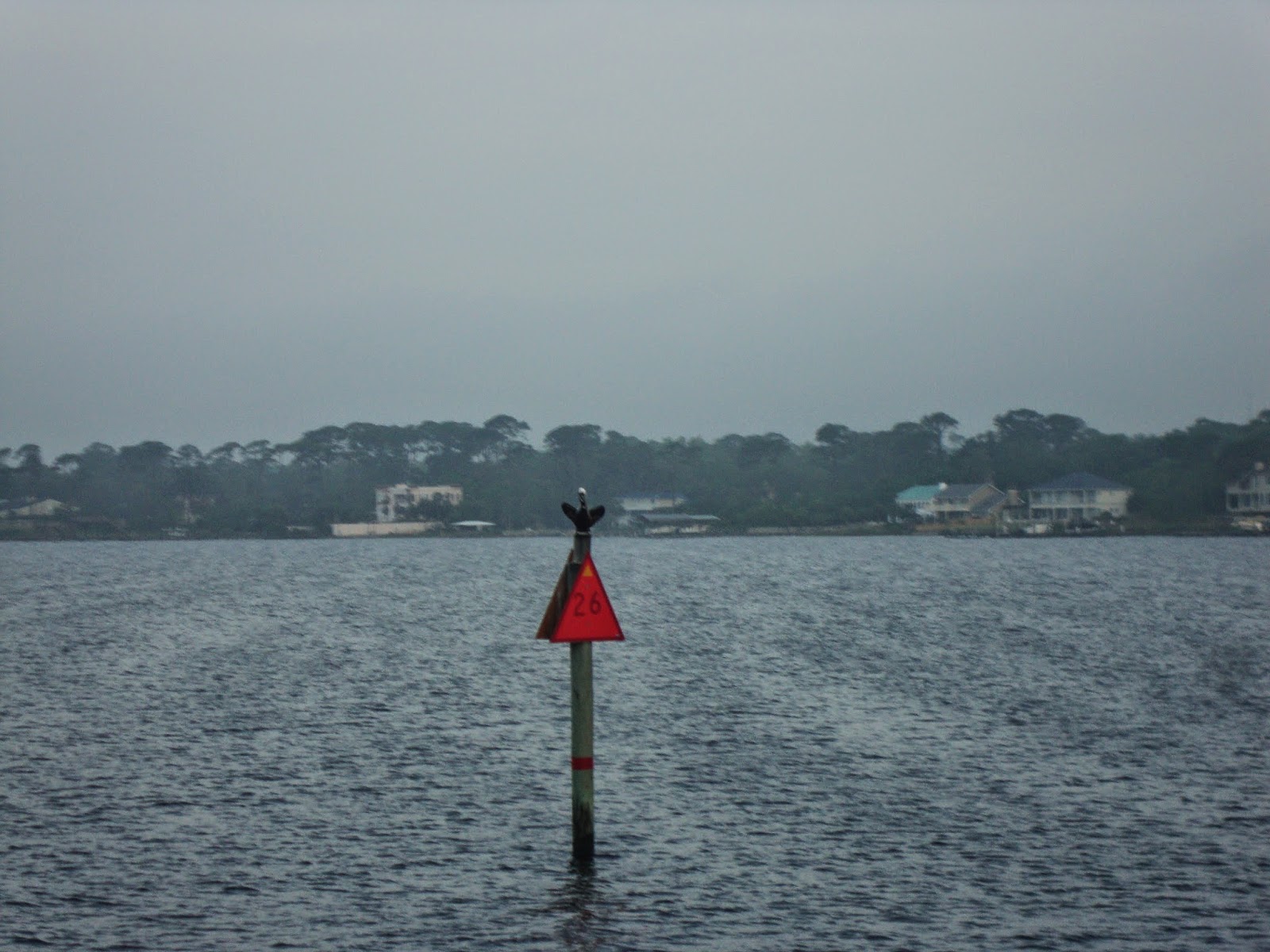
No markers required. Just stay between the trees!

Just past White City we turned south toward Port St. Joe and their marina. A turn that we had never made in our previous times through this area.

Shortly after the turn we came upon these two vessels. I’m not sure what they were used for although based on the number of clothes hangers hanging on the top deck I’d say that diving was a part of their history.

Another couple of derelicts lined our way to Port St. Joe.

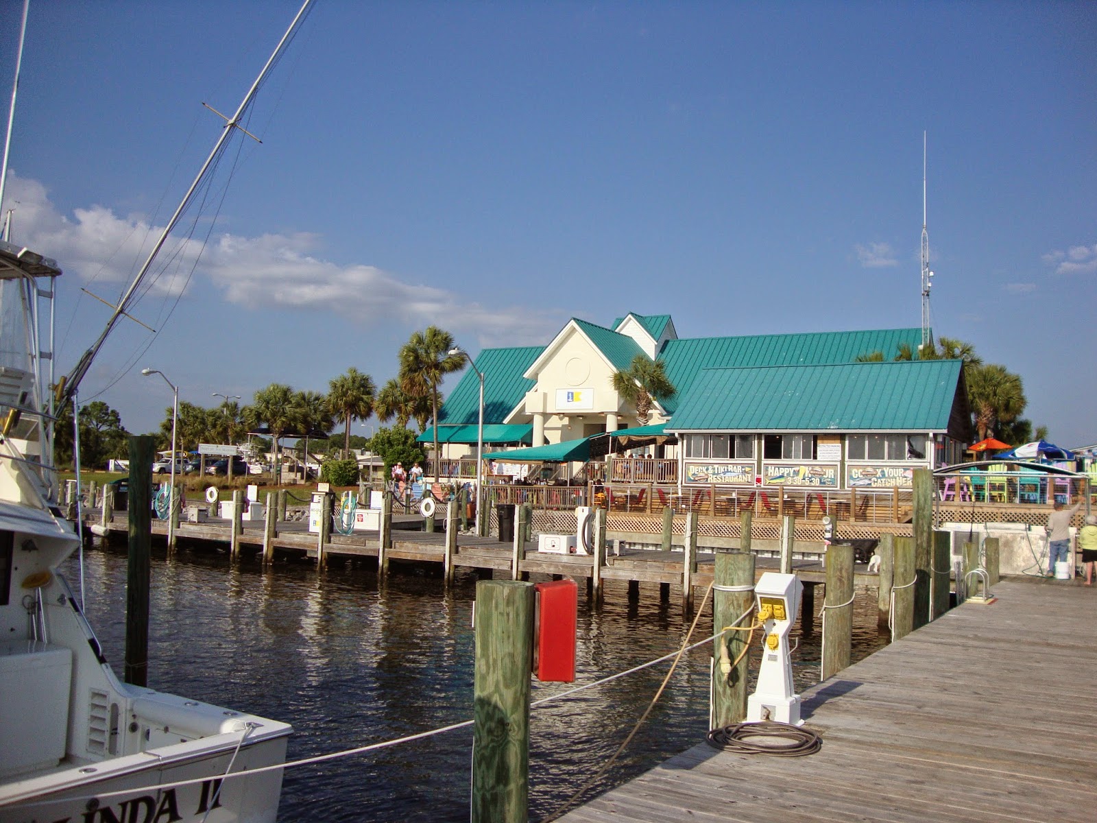
Five miles after we turned off the GICW we arrived at Port St. Joe Marina. A cute (Pam’s word) little marina that every fall attracts the Looper crowd. After stopping here I can see why. A nice clean marina with a good restaurant and a town within walking distance that has the ameneties that a cruiser desires.
Our stay here proved once again what a small world the boating community is. We ran into two boats that we had crossed paths with at Legacy in the past. M/V Spiritus and M/V Emery El.

Port St. Joe Marina.

The view from our stern.

Pam with Eddie and Linda from M/V Spititus.

Needing to take advantage of the good weather we moved on the next day retracing the five miles to the GICW and continuing on to Panama City where we made a brief stop for fuel before traveling another 15 miles to an anchorage off of Choctwahatchie Bay. Fortunately the forecast was accurate and the wind dropped after sunset providing us with one of the best nights on the hook that we’ve had on this trip.

Back between the trees.

Waiting for work.

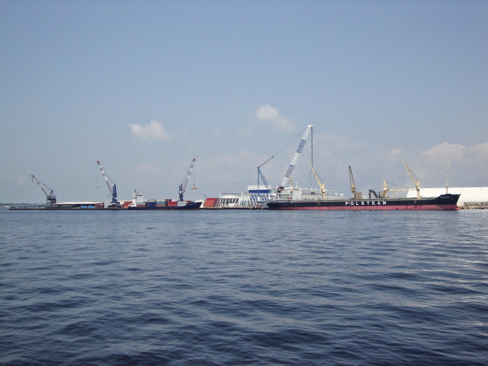
Past the port of Panama City.

Up again earlier than we’re accustomed to since we changed time zones yesterday, we enjoyed a beautiful sunrise.

Sunrise at our anchorage off Choctwahatchie Bay.

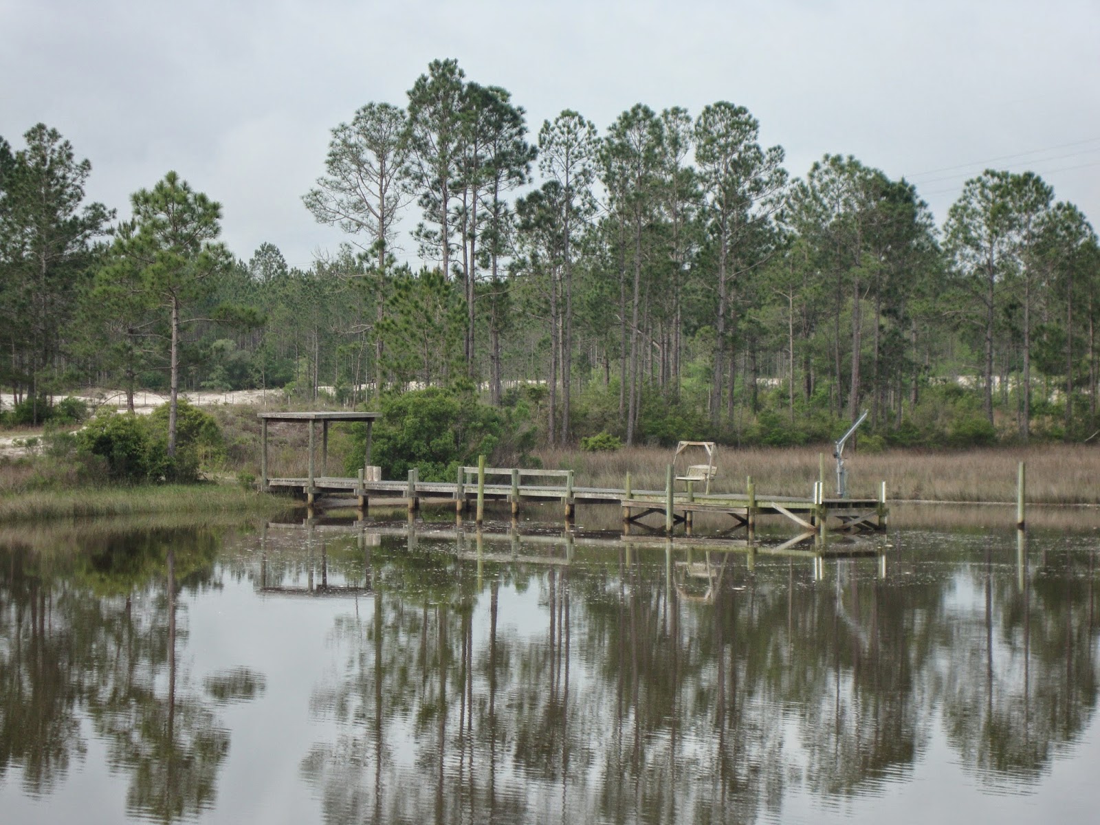
We wondered what this dock was for since no house was visible?

At first I wondered what was wrong with the boat then I looked up to see what the noise was.

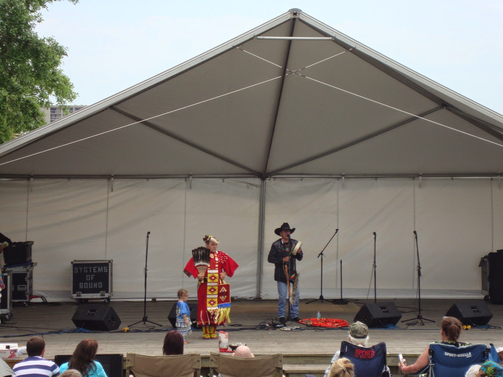
Fort Walton Beach and their free dock was our destination today. We arrived in time to check out the Indian festival taking place in the adjacent park and stroll around town. By now the wind had picked up from the Southeast providing our dock with a bit of chop. No worries though, the dock is built well. The only problem is the ignorant boaters who ignore the no wake zone that the dock resides in.

Part of the ceremony at the festival.

Tourist at the free dock.

Spotted this guy warning the bird not to do anything stupid!

The forecast for Monday was for increasing winds throughout the morning and severe weather on Tuesday and Wednesday. With that in mind we got out of Dodge early and headed to Pensacola where we planned on riding out the storms. As we travelled the breeze picked up and the fog set in reducing visibility to 1/2 mile. Fortunately the plotter and the radar were working and we made it into Palafox Pier Marina in Pensacola by 10 am.

This guy was taking advantage of the breeze to dry out.

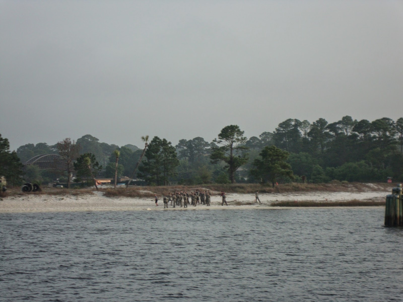
We passed these soldiers running along the beach.

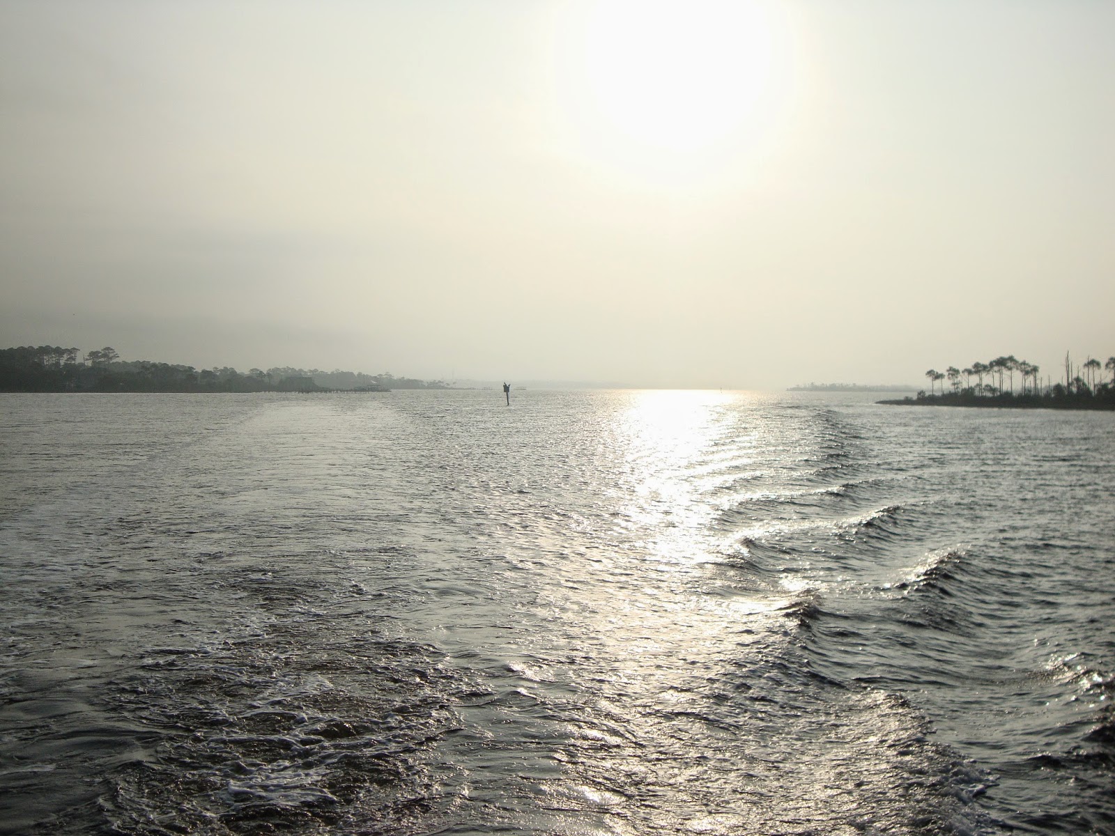
Looking behind us betrays the view over our bow.

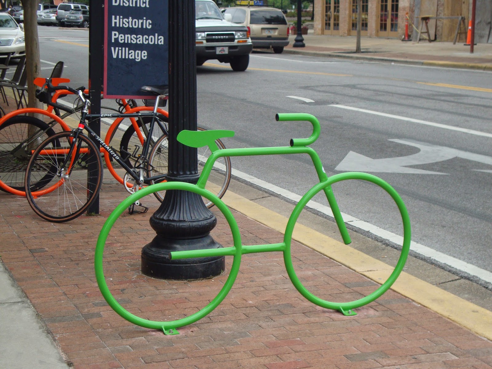
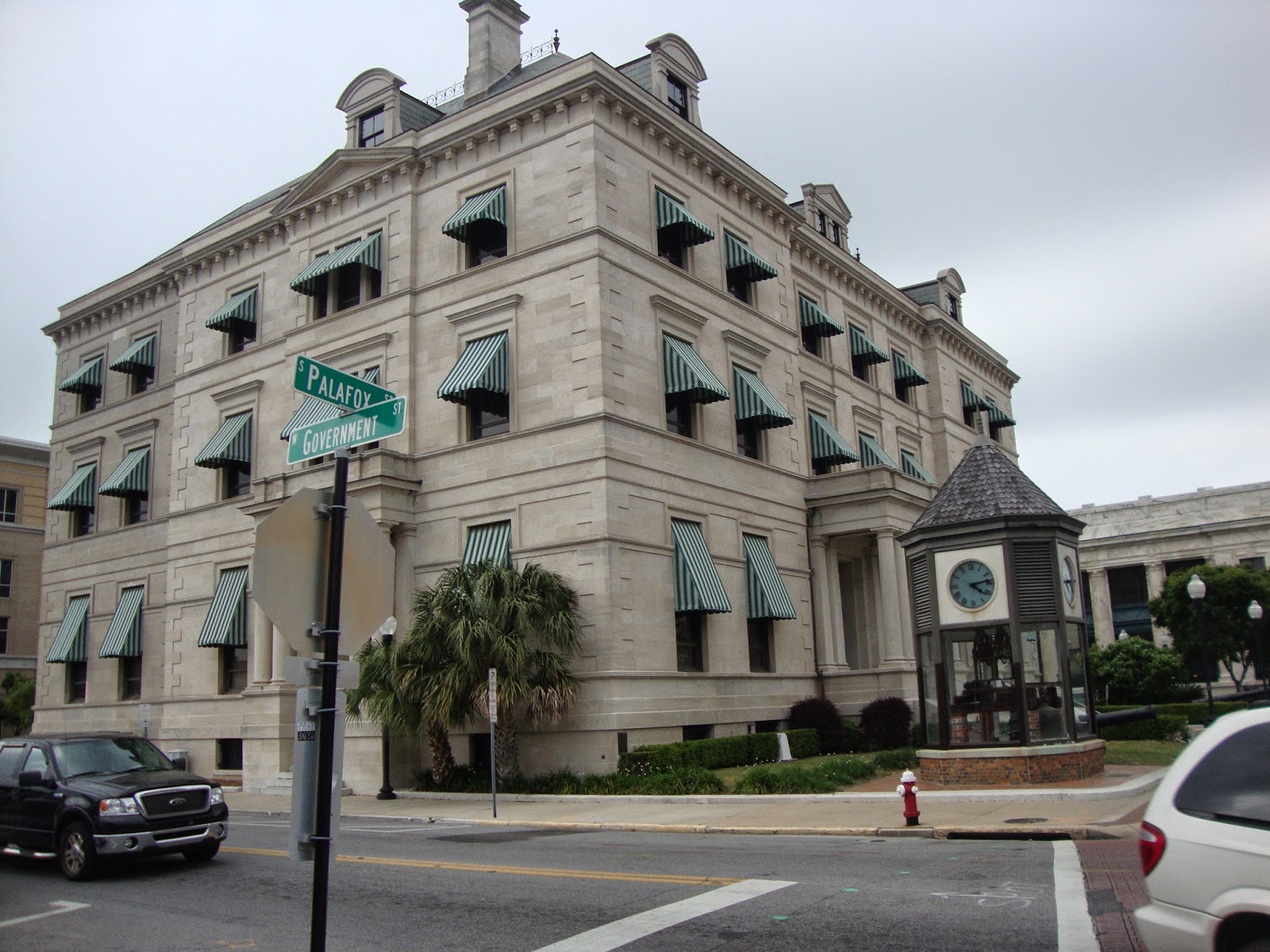
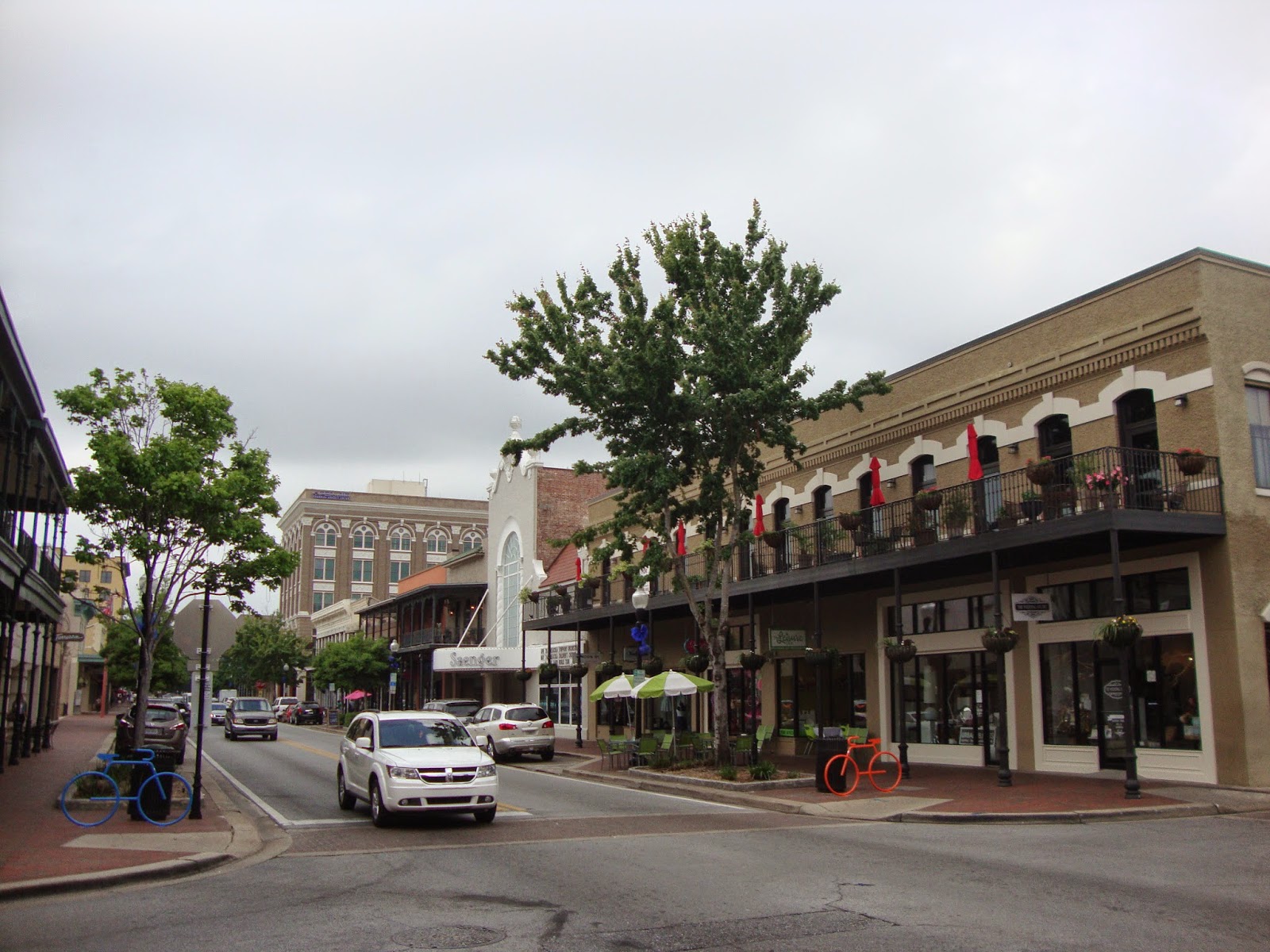
Our early arrival enabled us to take a brief stroll around the downtown area before the weather set in. They’ve done a good job of restoring the older buildings and bringing in a variety of shops and businesses.

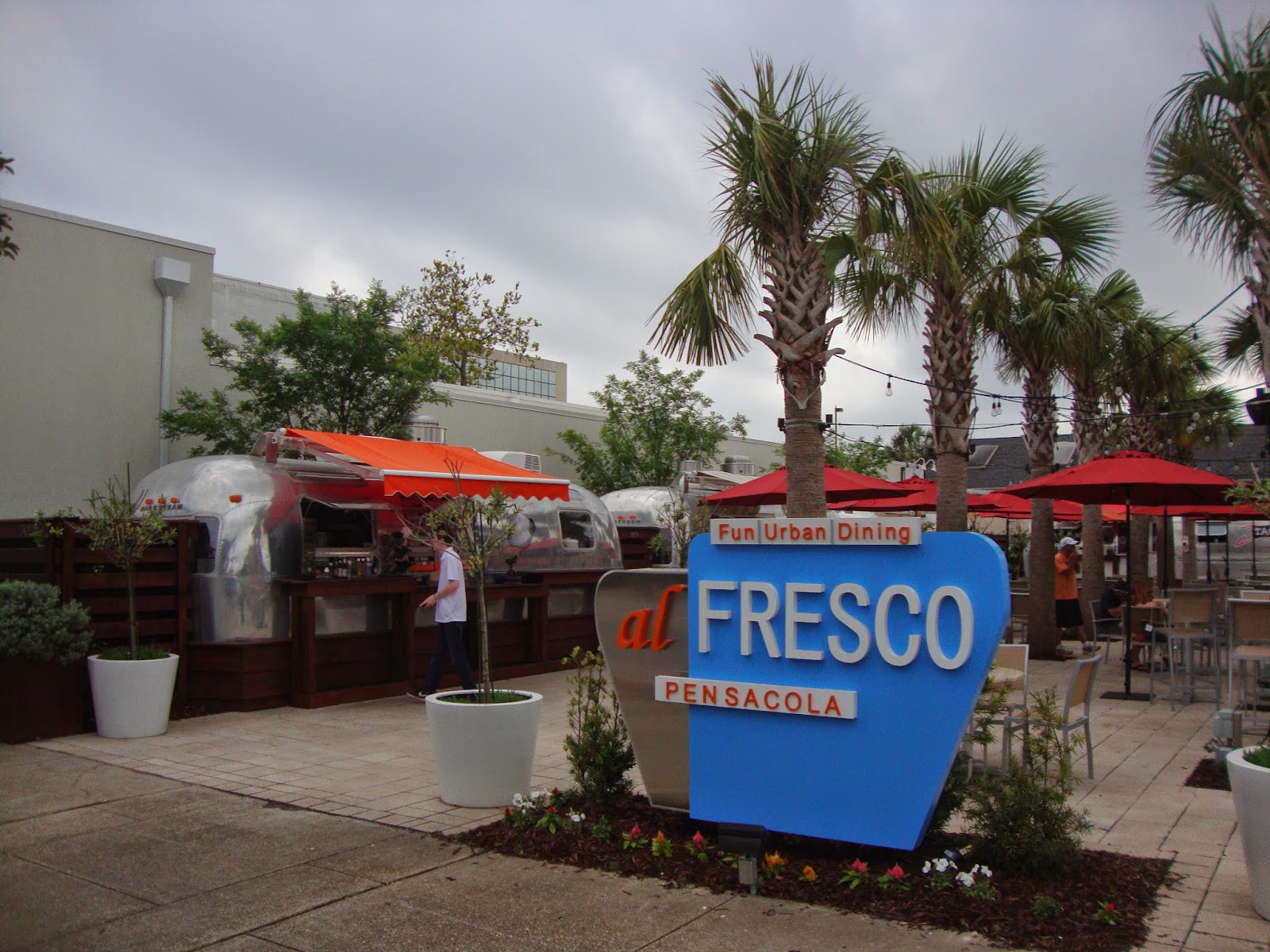
This corner featured 4 Airstream trailers made into small diners each offering a different variety of food.

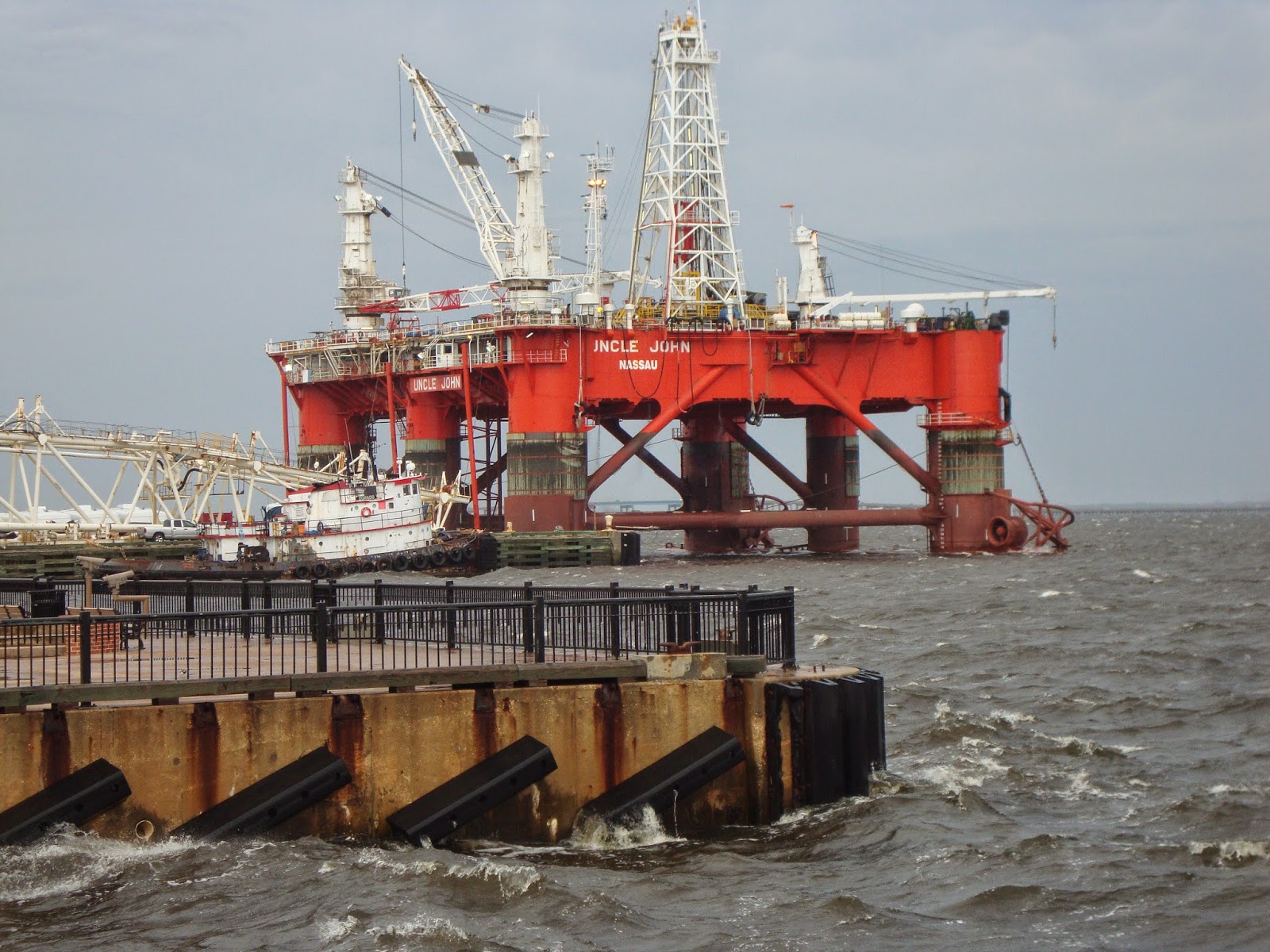
Near to the marina was this oil rig being worked on.

Pam with the marina behind her.

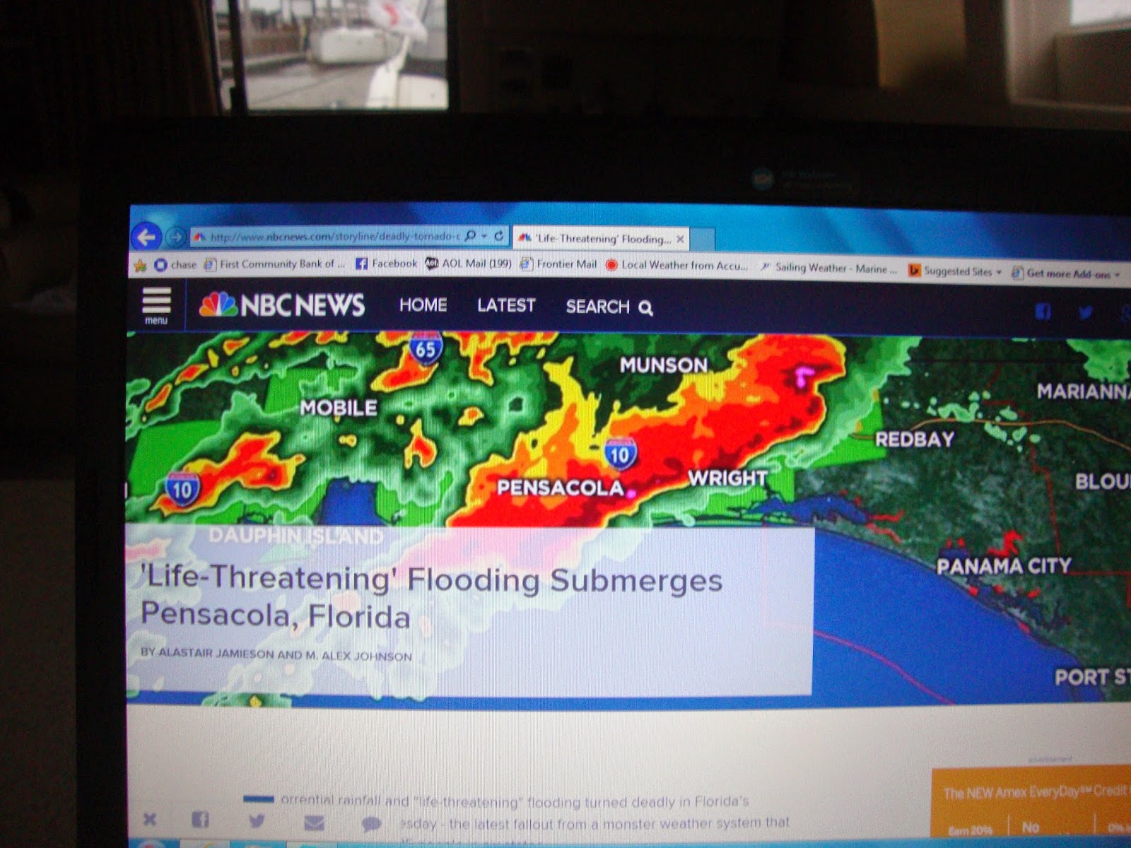
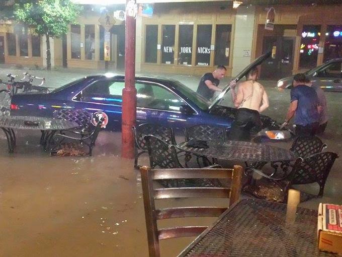
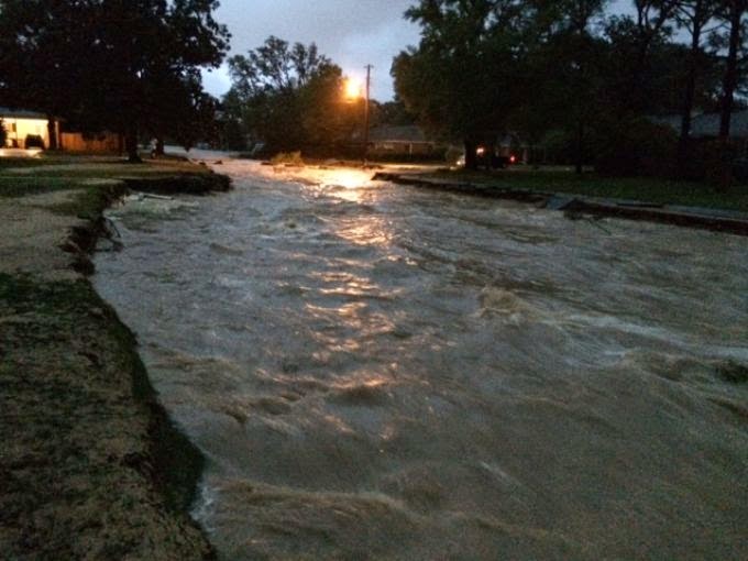
Monday was primarily windy with a few showers late in the day. After midnight all hell broke loose. High winds, Non-stop rain, and endless lightning. At times being on Tourist was like being a contestant in a rodeo. The severe weather lasted all Tuesday and into Wednesday morning. In all they reported over 2 feet of rain had fallen causing flash flooding all over the area. 5″ fell between 9 and 10 pm Tuesday alone. Supposedly this was more rainfall than in all of hurricane Ivan. Over 44,000 lightning strikes were recorded in one hour on Tuesday. And we lost power at the marina for nearly 20 hours. Unfortunately one woman lost her life due to the flooding.

Here are a few pics of the aftermath;


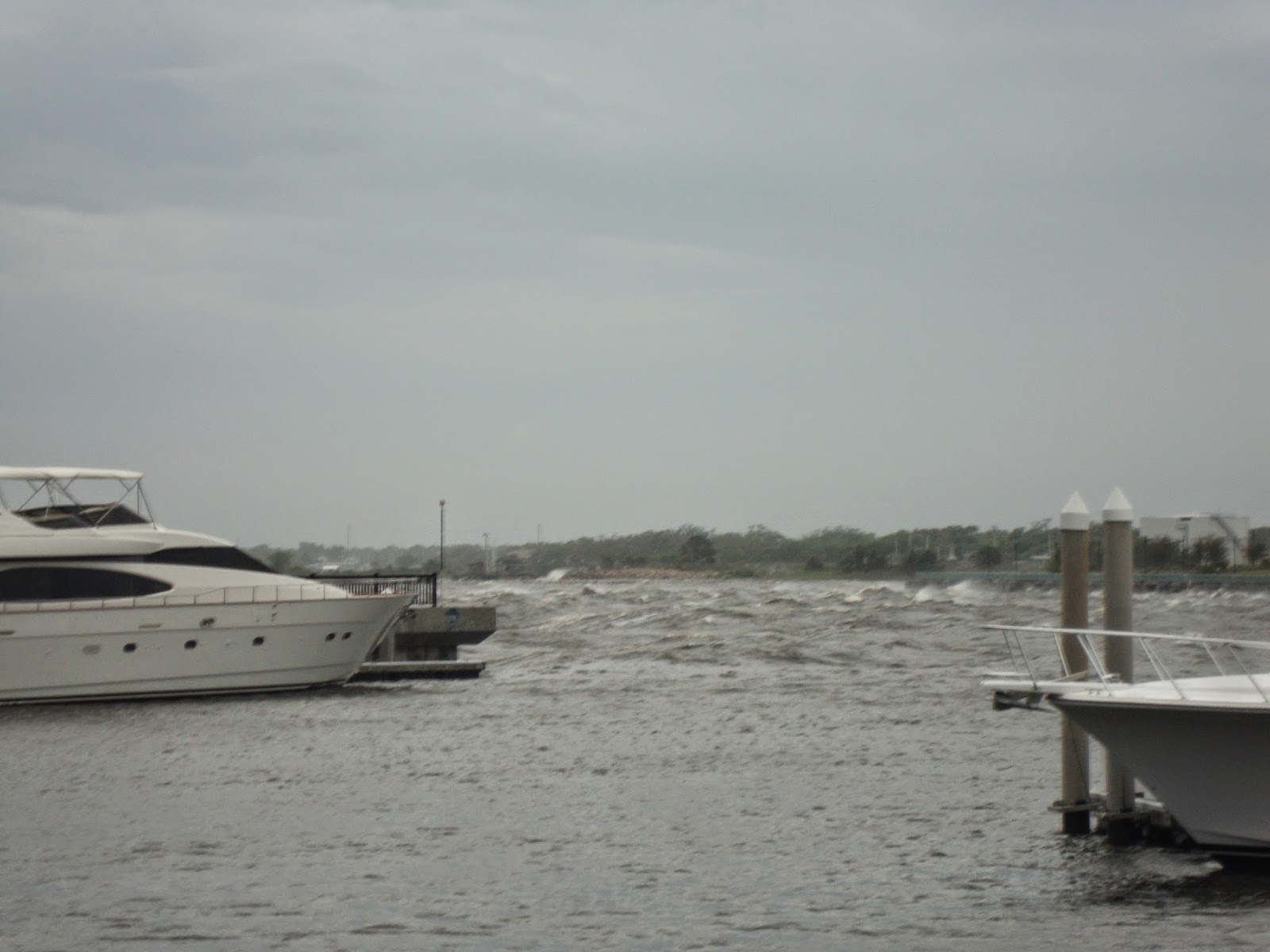
Waves outside the marina.

Pumping out the neighbors dinghy.

As I write this it’s raining again but not with the intensity of last night. Hopefully by tomorrow the weather will improve and we can keep on moving on.


Faaite

FAAITE
March 27 – Faaite Atoll – Tuamotus (French Polynesia)
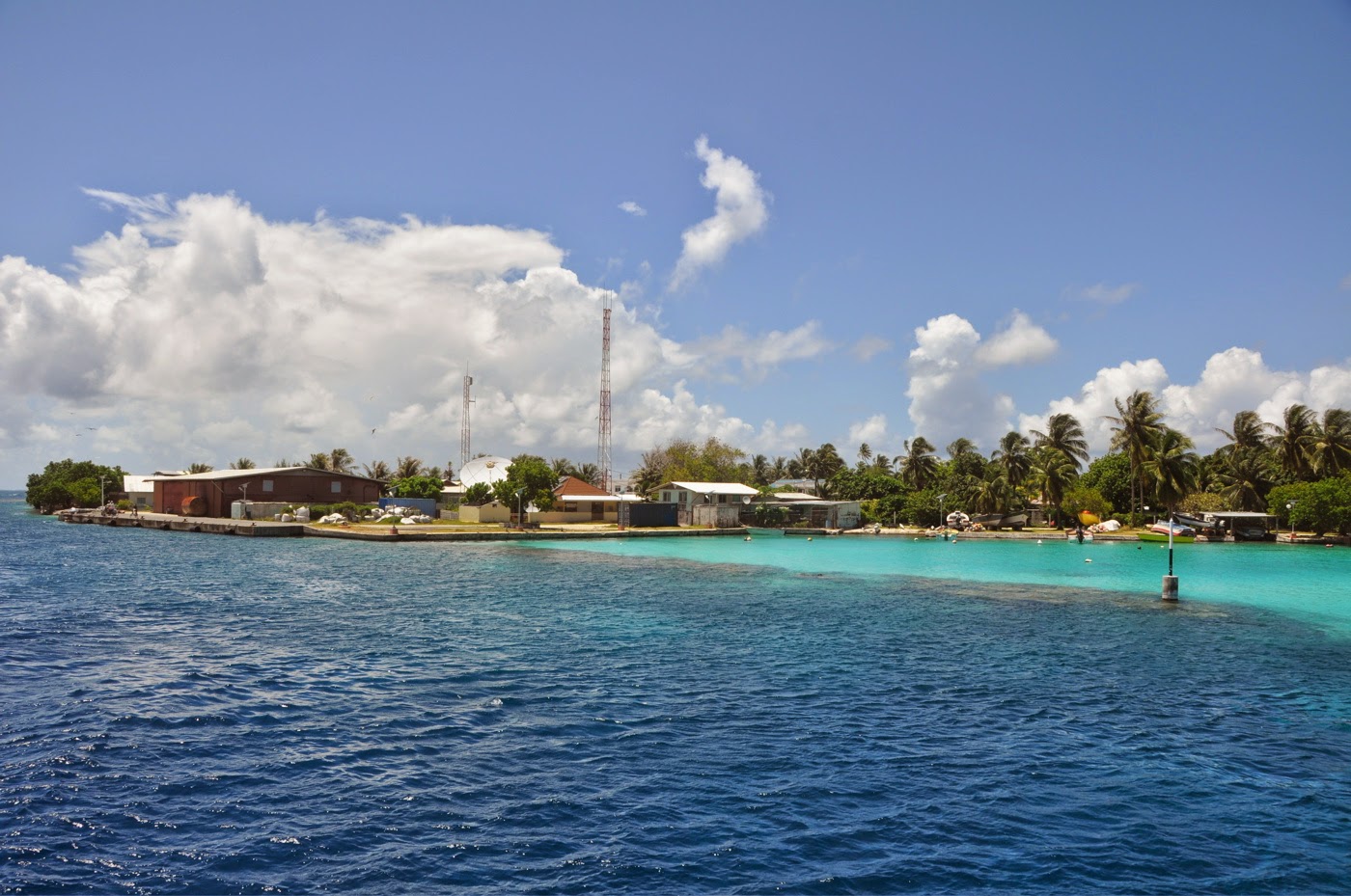
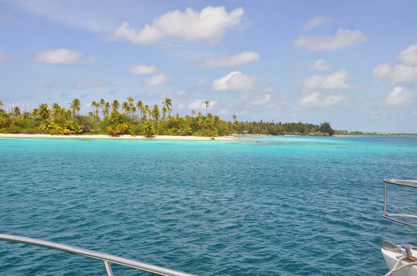
I’ll be brief on Faaite, as brief as our 24-hour stay.  There is no doubt that this small atoll is lovely.  The village at the entrance of the pass is colorful and attractive.  But the anchorage suggested in the pass did not appeal to us.  Neither did the anchorage outside the atoll, not any more than the anchorage in front of the village although the sand bottom looked pretty safe.  We looked deeper into the lagoon for adventure. 
No desire to anchor in the pass
Nor in front of the village
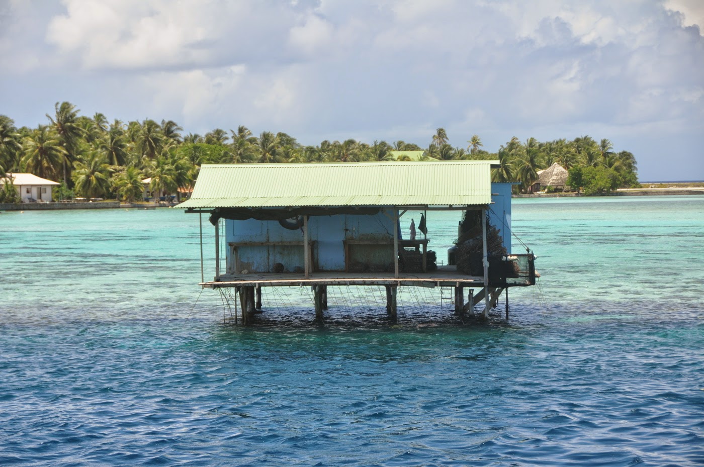
Pearl farms, still

Faaite East anchorage – S 16°45.425 – W 145°07.368 – Since the Easterlies had piped up into the 15-20kt range, we were glad to have seeked refuge at the east end of Faaite.  But, as it seems to be the case at the closed end of lagoons, there was not much to experience.  On one end, we loved to drop anchor in pure sand, not having to float any buoy over coral heads.  On the other end, there was not much to dive or fish. 
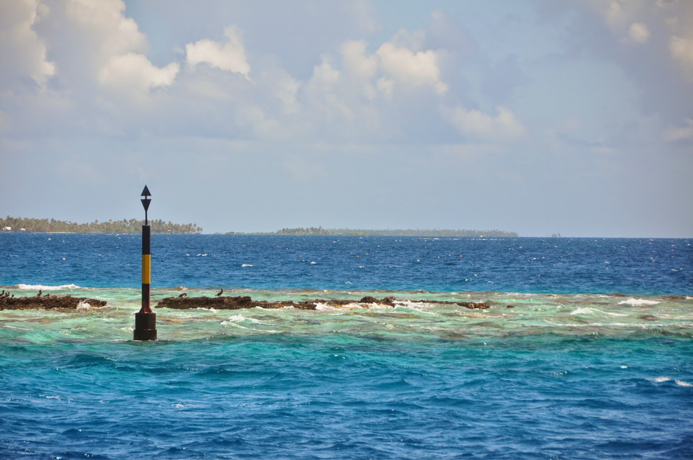
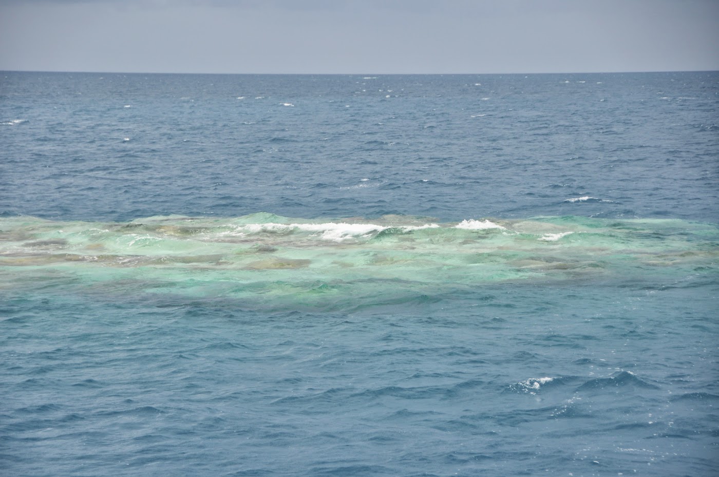
We did, however, take advantage of the calm lagoon conditions to dive a few “Karenas.”  These are reef formations that bloom in the middle of the lagoon, on which colonies of coral and red Ca. algae develop.  They are typical and abundant in Manihi and Ahe, but can be found all over the Tuamotus.  They are much fun to dive as they harbor plenty of life.  But they can be deadly for yachts that transit the lagoon with poor visibility.  We learned how to recognize them from far away.  Sometimes, it’s just the different ripple of the water barely distinguished from the chop that gives them away.

Faaite’s east cost is very low, the reef almost submerged, a danger to the yachtie as evidenced by 2 major shipwreck on the reef.  But what a beach to walk!  Miles of white sand and a trove of shells.  We took advantage of the nasty weather, 18-20kt winds and pouring rain to do nothing much more than clean the decks and hulls, ready for our next stop: Tahanea.

Until then…

dominomarie

Day 110 – 365 Project…one of those days!

Welcome to day 110 of  365 photos…Have you ever had one of those days?! I worked on my website today for quite awhile and then this afternoon, Mr. B & I went to Dunkin’ Donuts for an afternoon coffee. We had storms threatening all day, the clouds were growing darker and I still hadn’t taken… Continue Reading

The post Day 110 – 365 Project…one of those days! appeared first on Moosetique Musing.

Fakarava

Pink Sands Beach – Fakarava South
FAKARAVA
Tide info:

High Slack Water – Aho High Water time (NOAA) + 3:05 … maybe?

Low Slack Water –  Aho Low Water time (NOAA) + 3:25… maybe?

Mean Low Water: 10.5 m (North pass) – 4 to 5.7m (South pass)

Local VHF info: Fakarava Yacht Services – VHF 77 (North pass)

FAKARAVA

March  22nd, 2014

Finally we have reached French Polynesia’s diving Mecca: Fakarava.  Both the North and South passes are famous among divers, but for very different reasons.  The North pass, with its 7 different currents, is a fast drift dive; the South pass is the most famous shark dive in the Tuamotus.  Fresh from our Anse Amyot experience, we were game for more shark diving… and perhaps some Tahitian black pearl shopping?
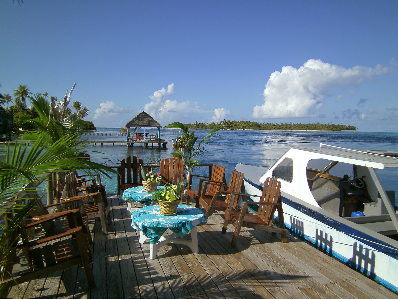
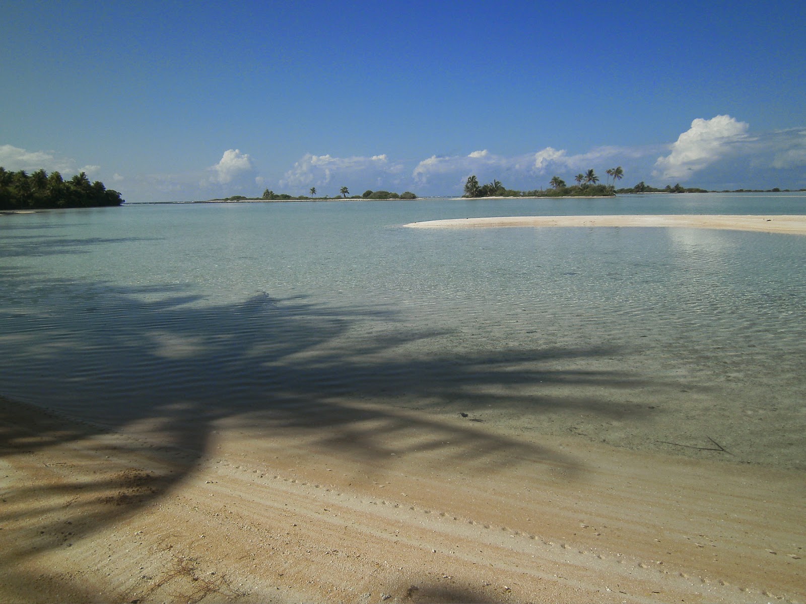
Pension Tetamanu on the South Pass, Fakarava
FAKARAVA NORTH – Rotoava Village

S16°03.532 – W 145°37.252

Back to civilization.  Well, kind of… There is no HOTSpot WDG relay, so no Internet connection.  The only Internet service is MANASpot, which we purchased at the post office (500 francs/hour = $5.20/h,) but the service is dismal and, in the end, we were not able to connect.  The 3G phone Internet is good but the chip can only be purchased in Papeete… a lot of good that does us!  Some cruisers connected at the local cafe, but it’s “a la tête du client.”  So, we’re going without Internet, once more relying on our Iridium connection for weather and email.
All our tide and slack water estimations were off as we got into Fakarava.  The North pass (Pass Garuae) is the widest in all the Tuamotus: 1.8 km.  We entered the pass with 1 meter swells on our port, surfing all the way inside the lagoon.  When was slack water?  We have no idea!  We’re finding out that our predictions are not always accurate, but in the absence of big winds we’ve never had to face large standing waves… so far!  Other yachties agree with us that slack seems to be occurring 30 min. before predictions, perhaps due to the low level of water in the lagoon (so much for rising ocean water levels!!!)
The anchorage at the village is a no-brainer.  We looked for the blue hull of Serge and Karyn’s boat (they are the dive operators FAKARAVA DIVE CENTER) and dropped the hook not to far from them.  After weeks of “wild” cruising, it was nice to be in a town again.  The concrete small-boat harbor makes it easy to unload our bicycles, but the small wooden dock on the beach off the anchorage is also a viable option–if you don’t mind the village kids using your dink as a toy in your absence!
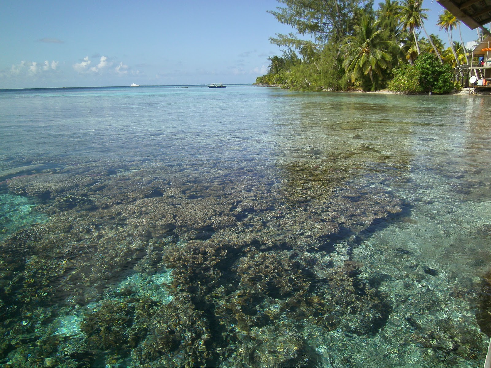
Fakarava South: Domino anchored just beyond the pass (here from Tetamanu)
When in Fakarava, look for the newly opened FAKARAVA YACHT SERVICES  (VHF ch. 16 & 77) (fakayachtservices@gmail.com) – Aldric and Stephanie are a young couple, capable and hungry to serve the cruising yachties.  Laundry, Internet, morning fresh bread delivery, bike rental, fuel and water, basic mechanic help and workshop, airport and island transport, etc… they are the cruiser’s support for the atoll.
The lagoon at Fakarava South: very much like the rest of the Tuamotus, only better!
What to do in Fakarava North?  Plenty!  We rode our bikes to the Km 12 (and back) to the “chateau” of Gaston Flosse, President of Polynesia; we stopped at  Pascaline’s Faka Delices for Eclairs au cafe & Tarte au chocoloat, not leaving without jars of hibiscus jelly and Tiaréjam; shopped for black pearls directly at the farm and at the jewelry stores in town; had a lunch of ‘poisson cru” at the Kori-Kori snack on the lagoon –perhaps not a good idea as I was really sick the next day and JP suffered a nasty rash for 2 weeks, only relieved with cortisone!  A touch of ciguatera perhaps?)
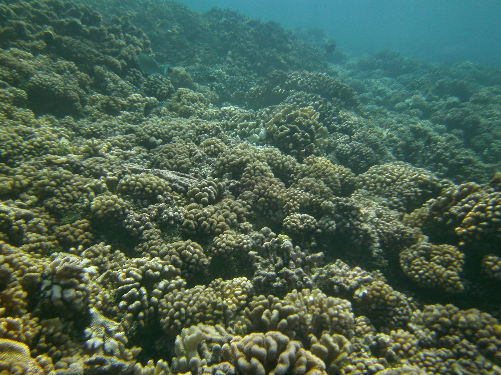
Coral carpet: the hallmark of the passes in the Tuamotus
But the most intense experience was diving the North pass.  Oh yeah!  Serge and Karyn of Fakarava Diving Center are THE diving authority for the north pass.  Really, you don’t want to guess through the 7 different currents that sweep the pass all on your own.  Our 45-minute dive started with a 35-meter drop straight into the blue, like parachuting into the deep, followed by a 2 km speed-drift through canyons of iridescent coral.  We only stopped for sharks (grey, black tip, white tip, nurse) while grabbing on to dead coral, and rested a few minutes at “Ali Baba’s Cavern,” a sand depression in the canyons where the water is placid and where you could find shark teeth if you were so inclined to dig into the sand rather than enjoy the sights: schools of hundreds of angel fish, snappers, and all sorts of multicolored lagoon species.  A kaleidoscope under water.  Honestly, speed-drifting through the canyons, I felt like Luke Skywalker screaming through the ravines of Tatooine.  Epic dive!  We had some 12 guests on board that night and I have no idea what they said or did: I was still flying 20 meters below… a big thank you to Master Serge Le Magnifique!
From the Obervatoire, Faka South

Unicorn fish
“SHELL BEACH” – S 16°13.95 – W145°33.52  This stop was recommended by Stef and Aldric (Faka Yacht Services) as an easy stop on our way to the south pass.  Yes indeed.  We dropped the hook in 15 meters, into sand bottom, and had a blast snorkeling the coral along the shore.  Excellent shelling here, where cowries of all sorts litter the coral beach.  It’s a great spot for kids where the snorkeling is easy and the coral and fish are sparkling and plentiful.  But watch out for an enormous head of fire coral!
Tetamanu’s old church 
FARARAVA SOUTH PASS – PENSION TETAMANU  – S 16°30.378 – W 145°27.446

One of the may bommies that
love to catch your anchors
Anabelle and Sane invited us for breakfast
We’re here at last.  The legendary Tetamanu Village, its genial hosts la Belle Anabelle and Sané, and the very first church in the Tuamotus.  Anchoring was a bit difficult.  We did not grab the mooring in the pass; it’s a private mooring belonging to Aqua Tiki and you never know when that charter yacht is going to appear and kick you off the mooring.  We arrived when the current was outgoing and did not appreciate the magnitude of the “mascaré” that would later sweep into the lagoon.  We anchored a bit too much in the center of the small pass, only to be rocked by the current some 30 minutes later… time to move closer to shore.  We dropped the hook in 13 meters, coral heads all around.  Inspection diving showed our anchor lying on the bottom, neatly surrounded by 6 or 7 tall coral heads standing guard over Big Bertha, sure to hold her tight in their grip if any kind of weather decided to tug on it.  We re-adjusting the chain to lay over the “bommies,” secured the floating fenders to buoy the chain, and hoped for no wind… which was granted to us for the following 2 days.
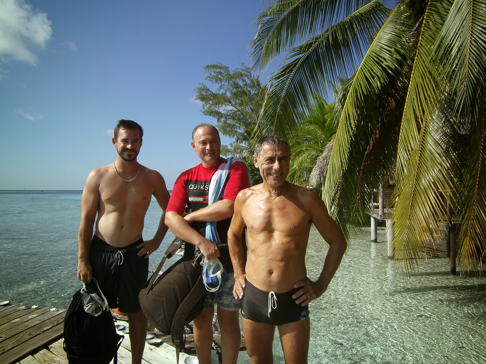
Diving with the MRCC team


Of course, diving “Faka South” is THE thing to do in the Tuamotus.  Feeling better with sharks after our dives in Anse Amyot and Faka North, I was ready for this dive, even more so since 2 guys from Papeete’s MRCC (Marine Rescue and Coordinating Center) were joining us.

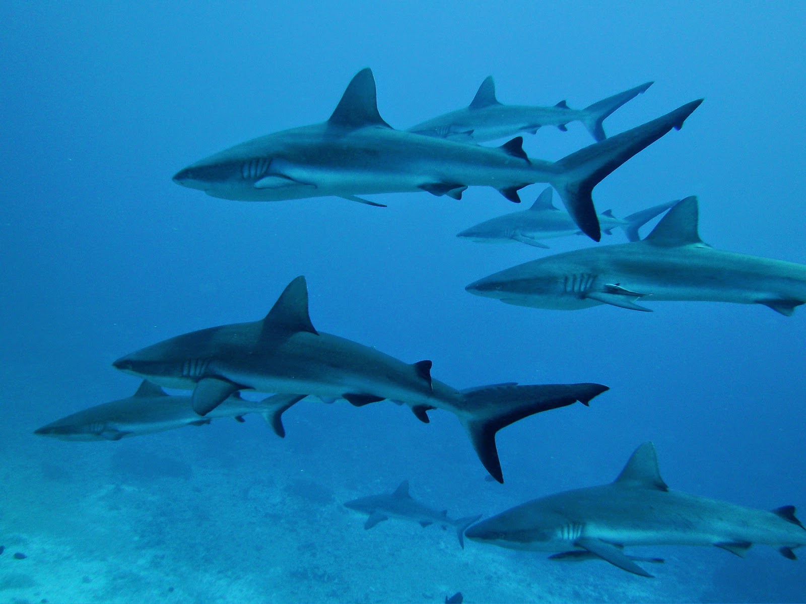
 A wall of sharks indeed!  We spend most of the dive holding on to dead coral, just observing dozens of sharks (mostly grey and black tips) doing figure eights in front of us.  I did stray a bit to observe giant Napoleon wrasses and very large queen triggerfish, anemones and more Nemos.  The coral in the pass is incredibly healthy, the water gin-clear, and the current a blast!
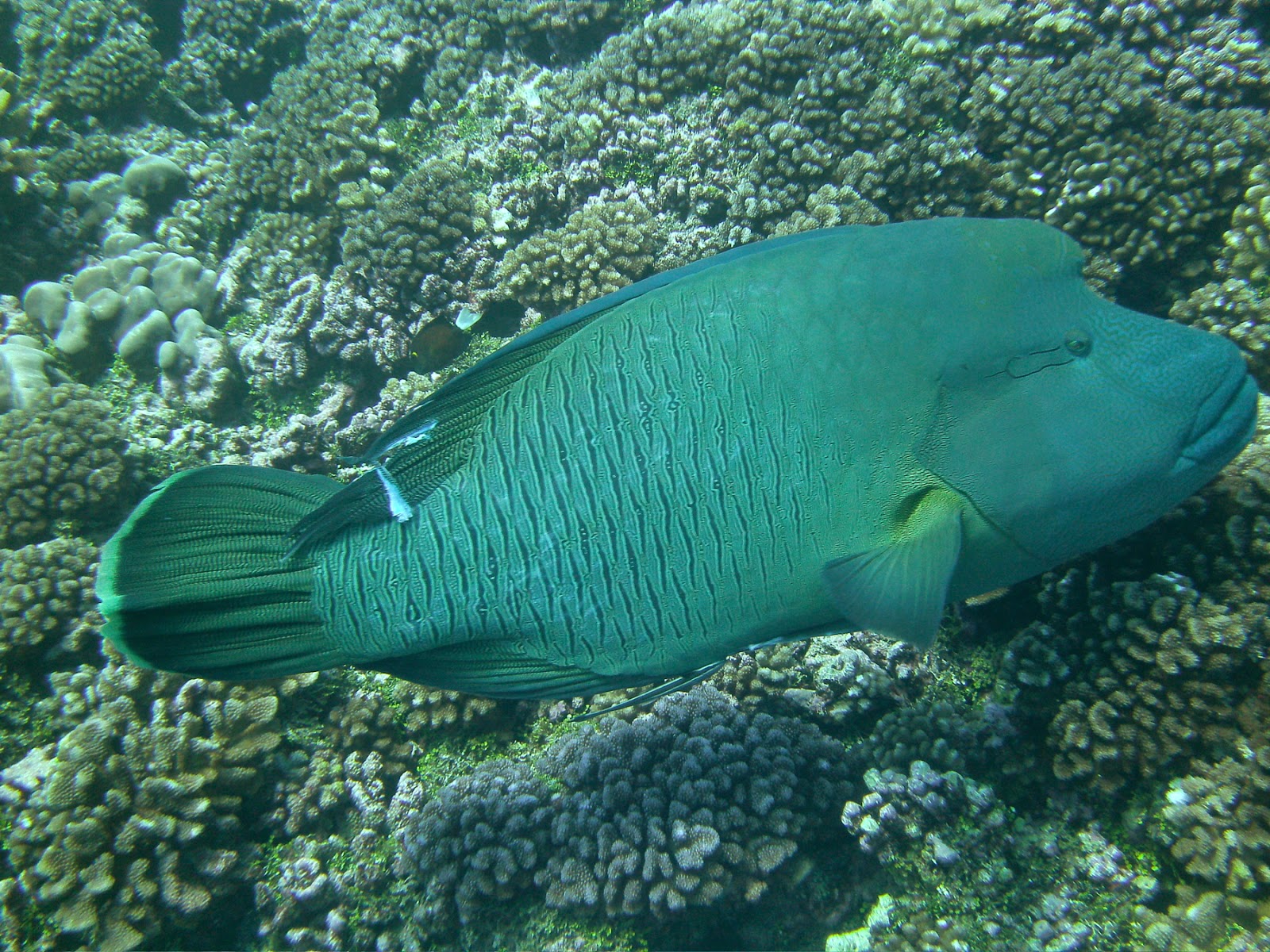
Napoleon wrasse
The next few days were spent in more speed-drifts with the hookah and quiet excursions at the Pink Sands beach.  Soon, it was time to leave as the winds were promising to return and we didn’t want to have to dive and dig Big Bertha from under the coral heads. 

Triggerfish: watch out for those teeth
Our diving orgy continues… next: Faaite and Tahanea.  Till then…
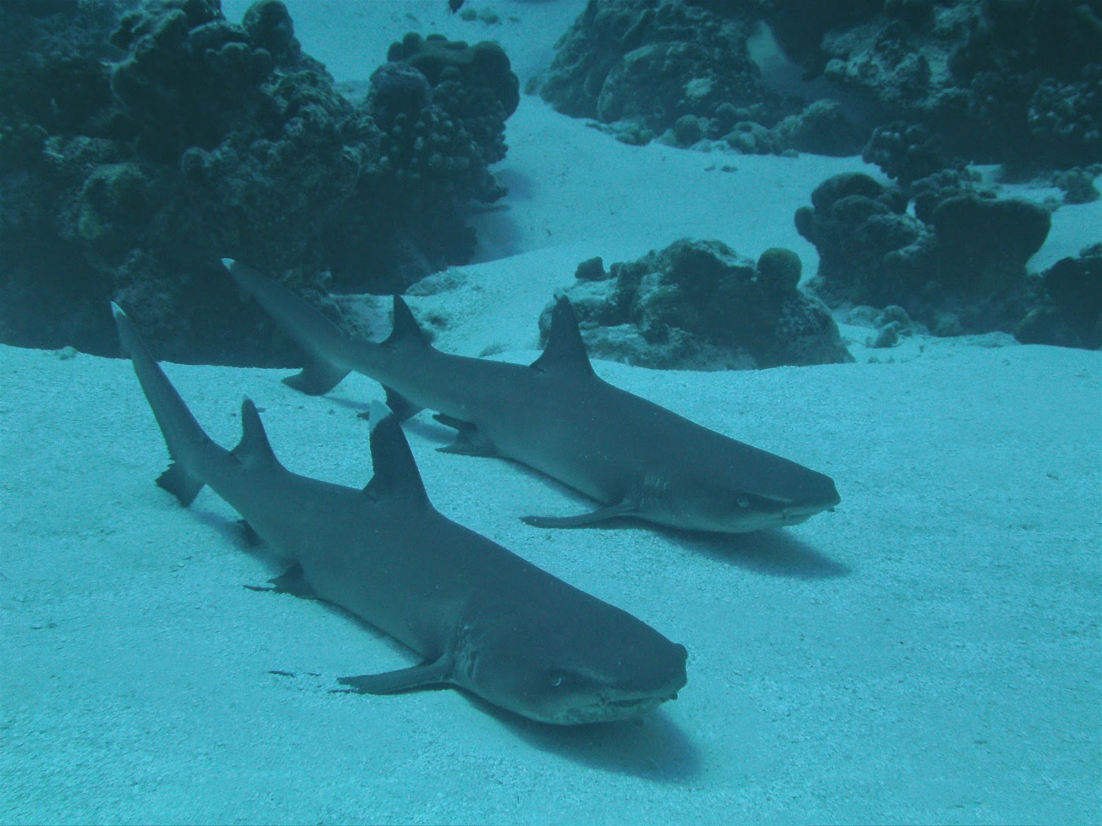

“Hey Wilbur, you hungry yet?”
dominomarie