“…you will never regret not having passed one more test, not winning one more verdict or not closing one more deal. You will regret time not spent with a husband, a friend, a child, or a parent.” –Barbara Pierce Bush
We love our new home in Ithaca. We like being close to our family, we enjoy all the activities in the area, we really like the temperature here in the summer, no biting bugs and there are so many places to explore. Did I mention the grandkids live close…we really love that. The only down side is not running into old cruising friends on the water. The only way to see them now is to visit them by car, so this past weekend we drove up to Connecticut to visit the crew of Amici. We haven’t seen them since last April.
CONTINUE READING HERE…»
Tag Archives | trawler
May 25-26 – Cheshire, CT
Gratitude in Kiribati
 |
| Our lady friend in Abaiang, south village |
 |
| Sitting on the Equator |
 |
| Tactical error on landing: choosing a neap-low tide to land the troops |
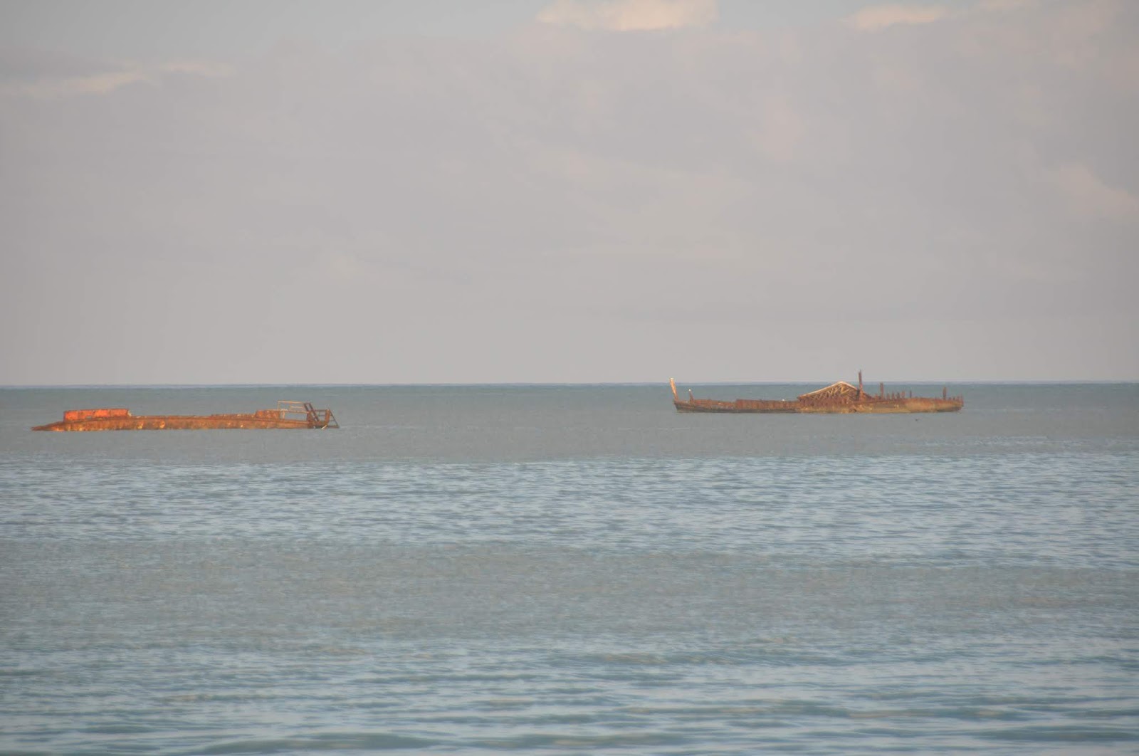
Betio Beach – 1*44.453 N, 171*01.795E – As we dropped anchor at Betio Beach, it suddenly dawned on us that this was the infamous Tarawa of the previously-named Gilbert Islands. This very beach is where Operation Galvanic took place, one of the bloodiest battles of WWII, where, from November 20th to 24th 1943, a total of 35,000 U.S. marines and soldiers attacked this 3,800 yard wide strip of land, decimating the 4,500 Japanese soldiers, making the battle of Tarawa one of the bloodiest in the history of American landing assaults. It was also the first American victory over the Japanese, and the turning point of war in the Pacific. The cost to our forces? 1,113 dead Marines and 2,290 wounded.
 |
| Betio Beach |
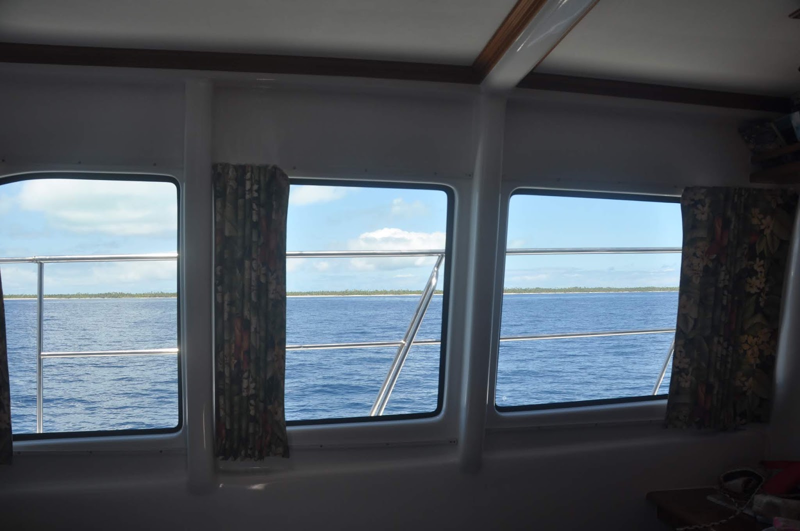 |
| Taking a nap underway, I can always see the islands |
 |
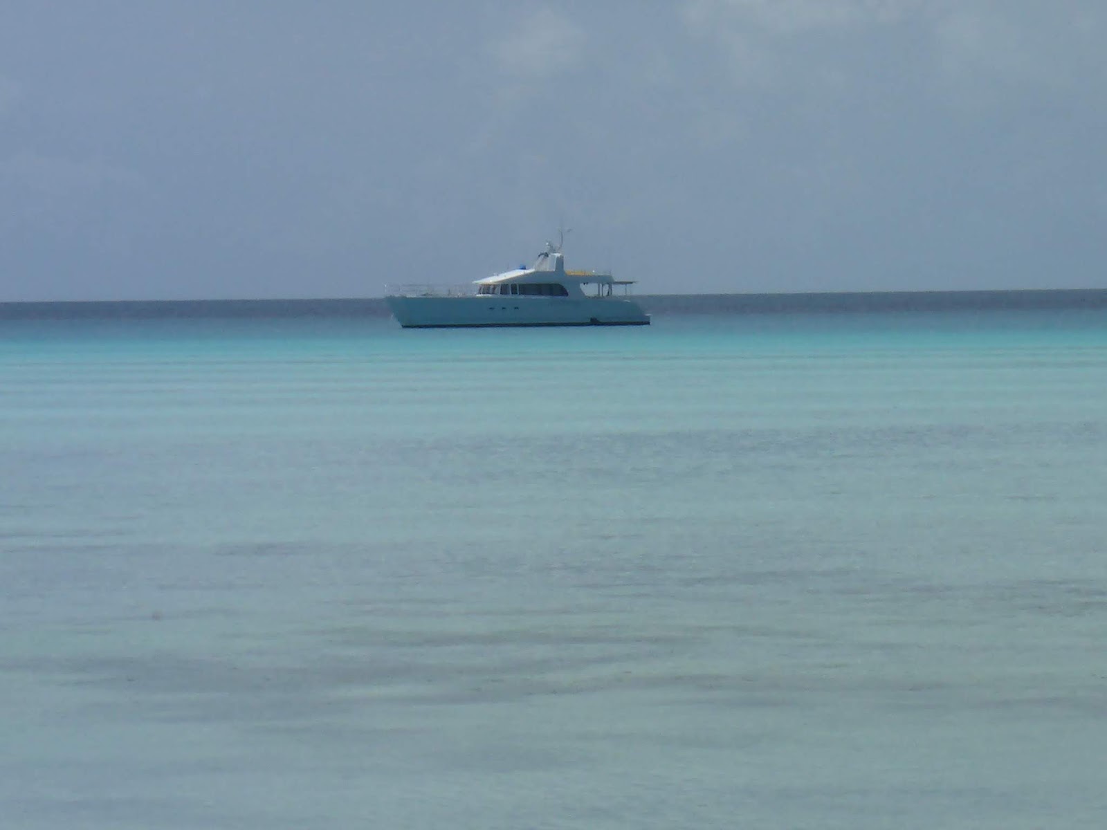
| No wonder that a large tuna fishing fleet loiters in these waters |
 |
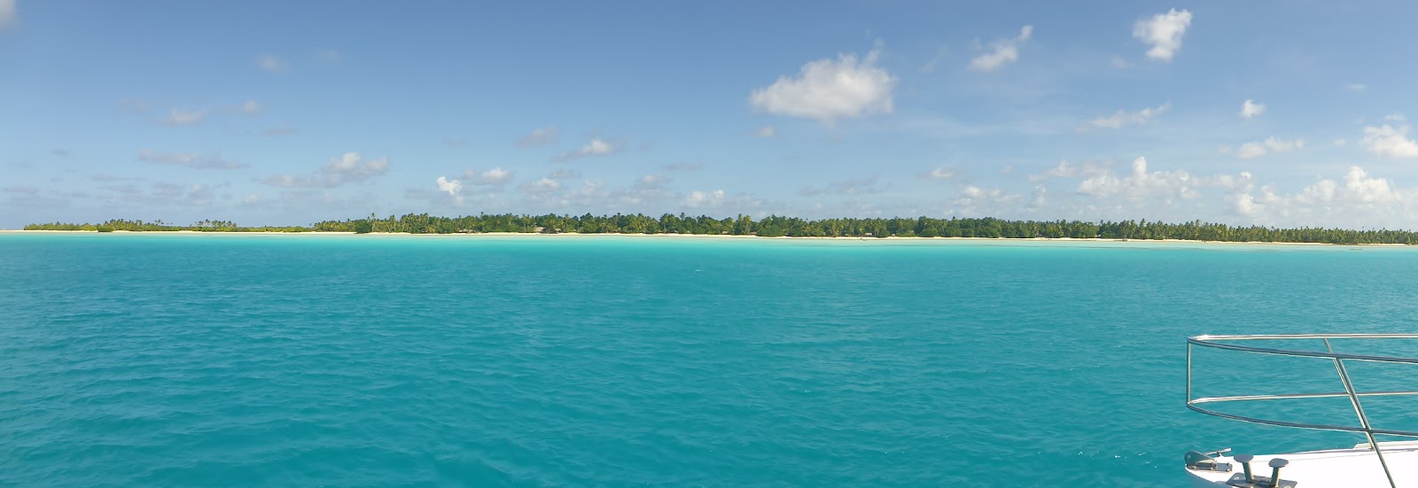
| So many islands… one of them |
 |
| Abainag, South anchorage – talcum-powder sand |
 |
| Typical home construction. The COCONUT tree is the life of these island |
 |
| Homework time! |
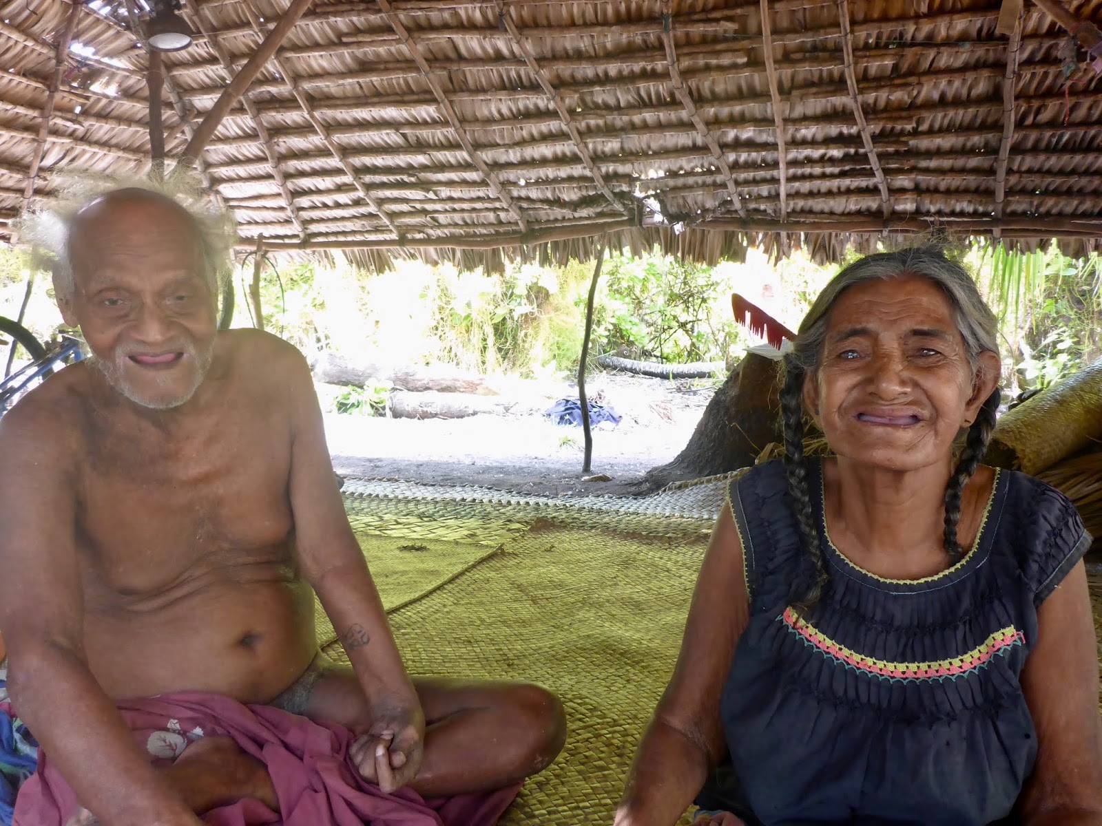 |
| Our favorite couple. |
 |
| School pickup |
 |
| Tabuaro: The loveliest, cleanest village we’ve visited, |
 |
| Every home is fitted with running water |

 |
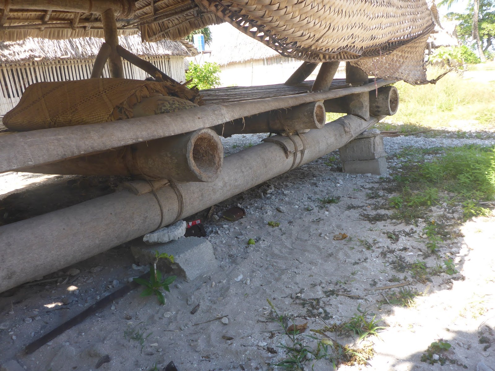
| A typical food storage shed |
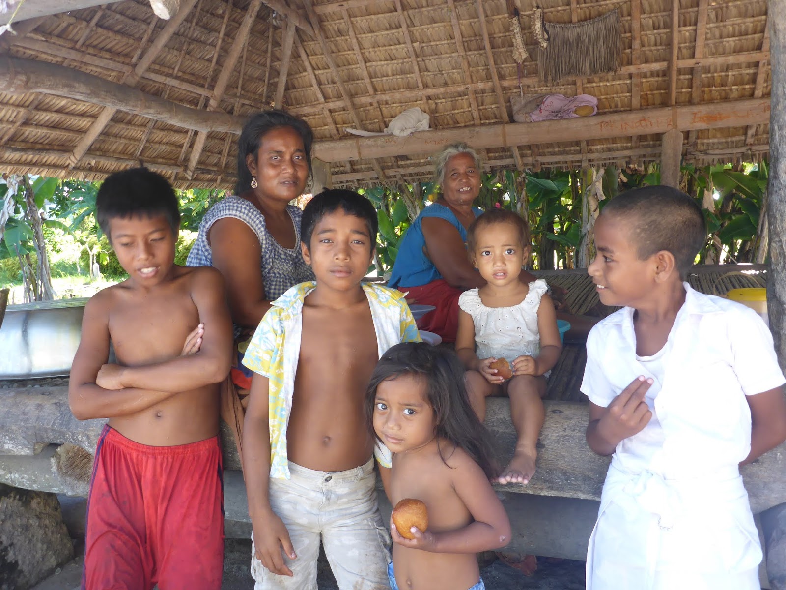
KUMA VILLAGE (Butaritari) – 03*10.539N, 172*57.242E – 7m – sand. Did you say HEAVEN??? We dropped anchor just short of the shallows that fringe the village. Yes, another place impossible to reach at low tide! But what a reception. If there is heaven on earth, this has to be it. Never have we encountered people so warm, happy, simple, absolutely at peace. The community (just a few families) is strong.
 |
| Our host in Kuma, speaks English, served on a ship for many years… His trunk is behind him, the key around his neck, and that’s about it! |
 |
| A typical “window blind,” lowered or raised to provide shade or protect from the rain |
 |
| The local kids are always ready to tag along |
 |
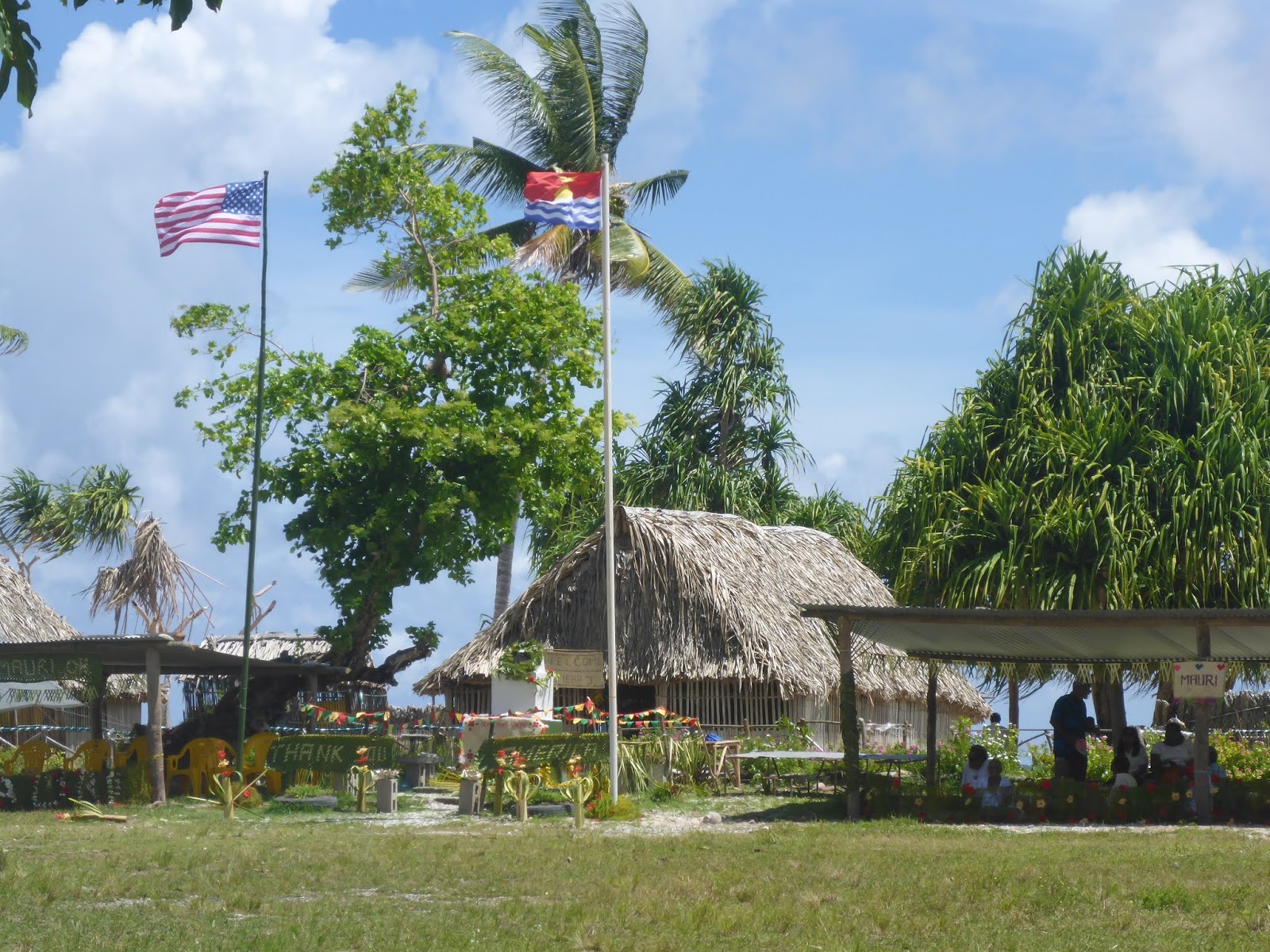
| “Thank You America” |
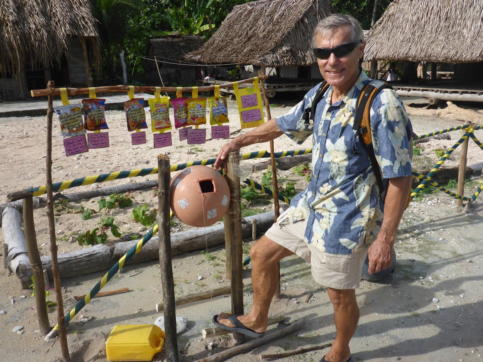 |
| How to wash your hands!!! |
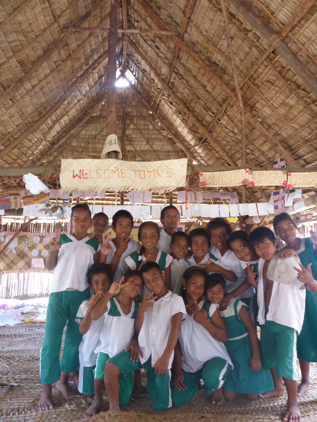 |
| Year 5 school room |
 |
When one of the village elders stood, all went quiet. The old man waved away the microphone, and his stentor’s voice retold the story of the liberation of Butaritari, when thousands of Marines landed and defeated the Japanese. A scared 5-year old boy never forgot, and to this day keeps reminding the islanders that “Without the Americans (he points at us) YOU and I would not be here today.” In a very emotional moment, he walked to us and shook our hands.


Gratitude in Kiribati
|
| Our lady friend in Abaiang, south village |
|
| Sitting on the Equator |
|
| Tactical error on landing: choosing a neap-low tide to land the troops |
Betio Beach – 1*44.453 N, 171*01.795E – As we dropped anchor at Betio Beach, it suddenly dawned on us that this was the infamous Tarawa of the previously-named Gilbert Islands. This very beach is where Operation Galvanic took place, one of the bloodiest battles of WWII, where, from November 20th to 24th 1943, a total of 35,000 U.S. marines and soldiers attacked this 3,800 yard wide strip of land, decimating the 4,500 Japanese soldiers, making the battle of Tarawa one of the bloodiest in the history of American landing assaults. It was also the first American victory over the Japanese, and the turning point of war in the Pacific. The cost to our forces? 1,113 dead Marines and 2,290 wounded.
|
| Betio Beach |
|
| Taking a nap underway, I can always see the islands |
|
| No wonder that a large tuna fishing fleet loiters in these waters |
|
| So many islands… one of them |
|
| Abainag, South anchorage – talcum-powder sand |
|
| Typical home conatruction. The COCONUT tree is the life of these island |
|
| Homework time! |
|
| Our favorite couple. |
|
| School pickup |
|
| Tabuaro: The loveliest, cleanest village we’ve visited, |
|
| Every home is fitted with running water |
|
| A typical food storage shed |
KUMA VILLAGE (Butaritari) – 03*10.539N, 172*57.242E – 7m – sand. Did you say HEAVEN??? We dropped anchor just short of the shallows that fringe the village. Yes, another place impossible to reach at low tide! But what a reception. If there is heaven on earth, this has to be it. Never have we encountered people so warm, happy, simple, absolutely at peace. The community (just a few families) is strong.
|
| Our host in Kuma, speaks English, served on a ship for many years… His trunk is behind him, the key around his neck, and that’s about it! |
|
| A typical “window blind,” lowered or raised to provide shade or protect from the rain |
|
| The local kids are always ready to tag along |
|
| “Thank You America” |
|
| How to wash your hands!!! |
|
| Year 5 school room |
|
When one of the village elders stood, all went quiet. The old man waved away the microphone, and his stentor’s voice retold the story of the liberation of Butaritari, when thousands of Marines landed and defeated the Japanese. A scared 5-year old boy never forgot, and to this day keeps reminding the islanders that “Without the Americans (he points at us) YOU and I would not be here today.” In a very emotional moment, he walked to us and shook our hands.
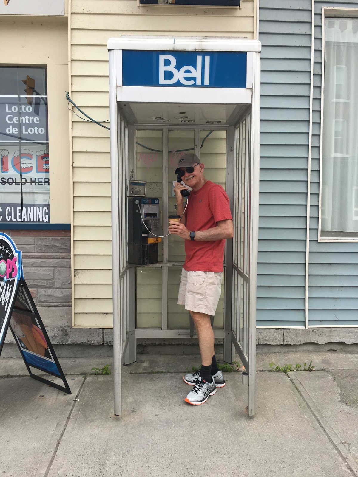
May 23-24 – West Branch Angler Resort

Starr passage Hawaii to Unalaska or Kodiak 2018

We are underway for either Unalaska/Dutch Harbor or Kodiak, depending on the weather. Sharry and I planned on departing a week ago but postponed the departure so we could fly back to San Clemente for my cousin Karla Gellers memorial. We are fortunate our friends who are crewing for us are all from Oahu and were able to rearrange their schedules so the Monday 28 departure worked out. Joining us for the passage are 3 great guys, Bill Noodle Leary, Clay Hutchinson, and Kyle Kim. I asked each of …
Start your own blog now! Free!
Harlingen, NL
Our main reason for stopping in Harlingen, NL was that it was convenient for picking up our new tender en route to Norway. Harlingen worked out splendidly for that purpose, but it also was an excellent stop overall. We enjoyed the city’s many waterfront restaurants and made several interesting side trips, including a tender trip…
Underway!
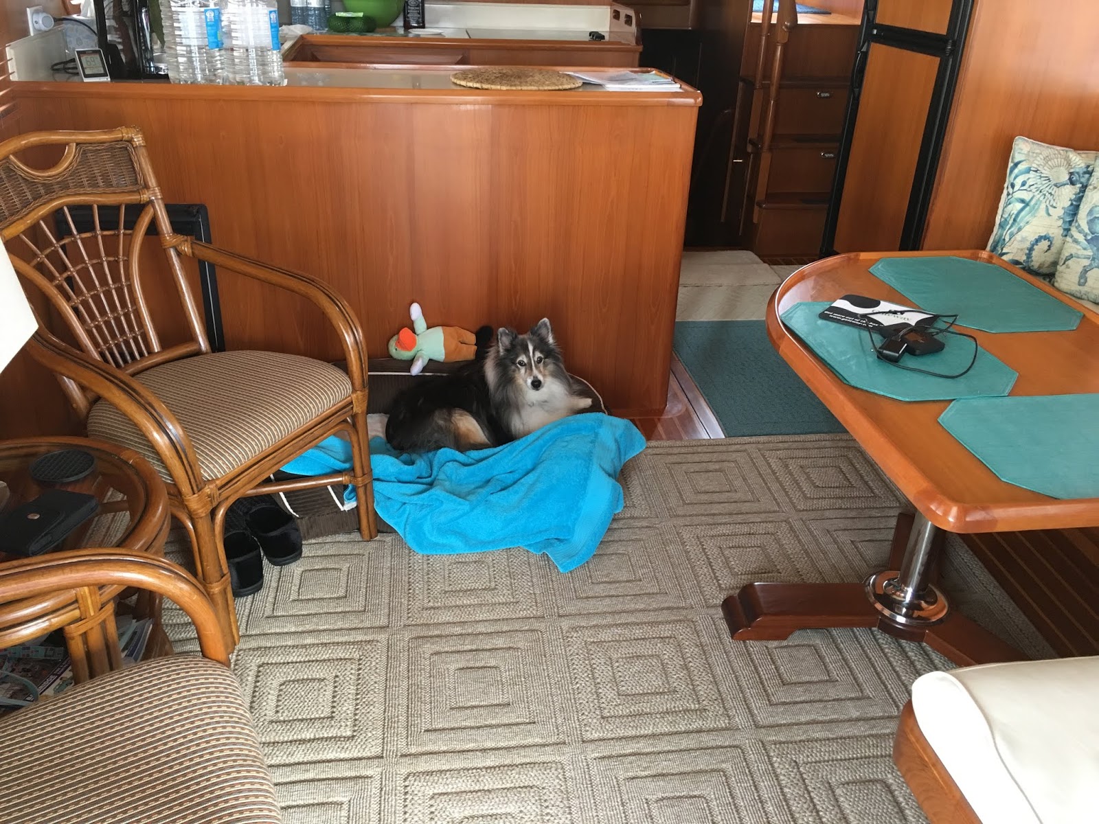
Red Head has finally thrown off the lines and headed out! Dora’s first official cruise. OK, so maybe it’s not a trip around the world – only 10 miles down river to Shady Harbor Marina. Still, we’re calling it.
Dylan and Dee Dee fell right into line as soon as they heard the engines start. Dora had to be coaxed up to the pilothouse with a treat. She’ll catch on.
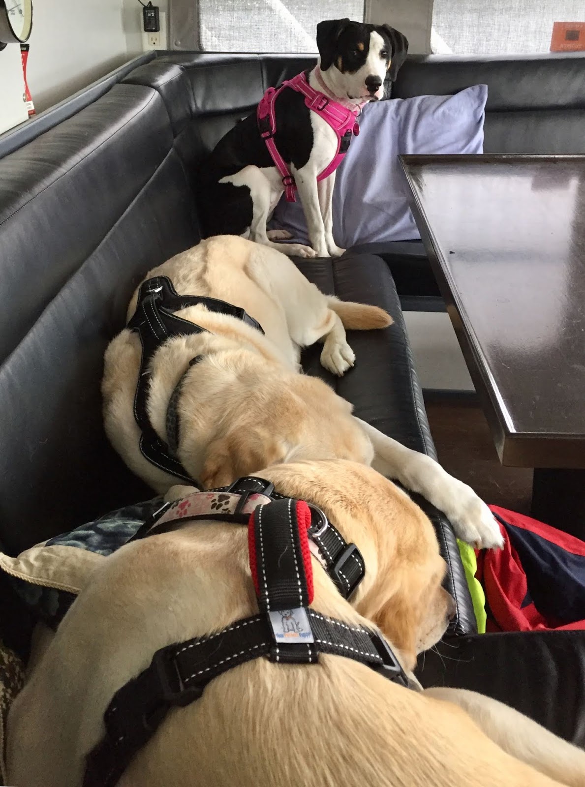
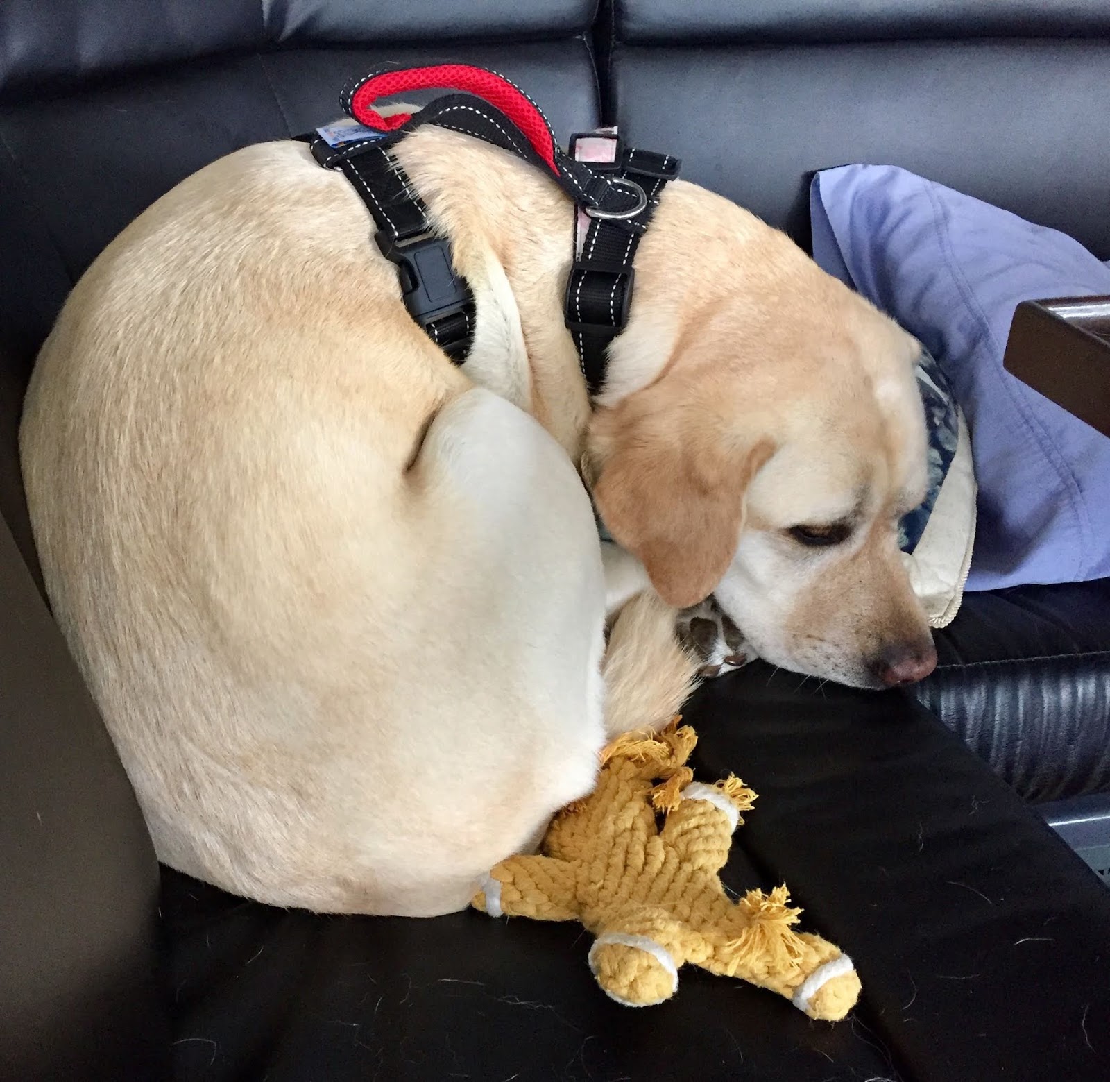
Dora found it a little hard to settle down. There’s just too darn much to see.
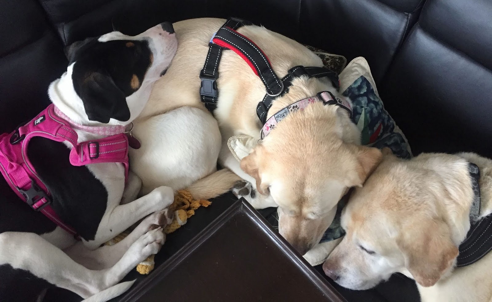
But she did eventually cuddle up with her fellow crew members.

Red Head starts her summer cruise with the help of Dylan, First Mate.
Dee Dee, Second Mate.
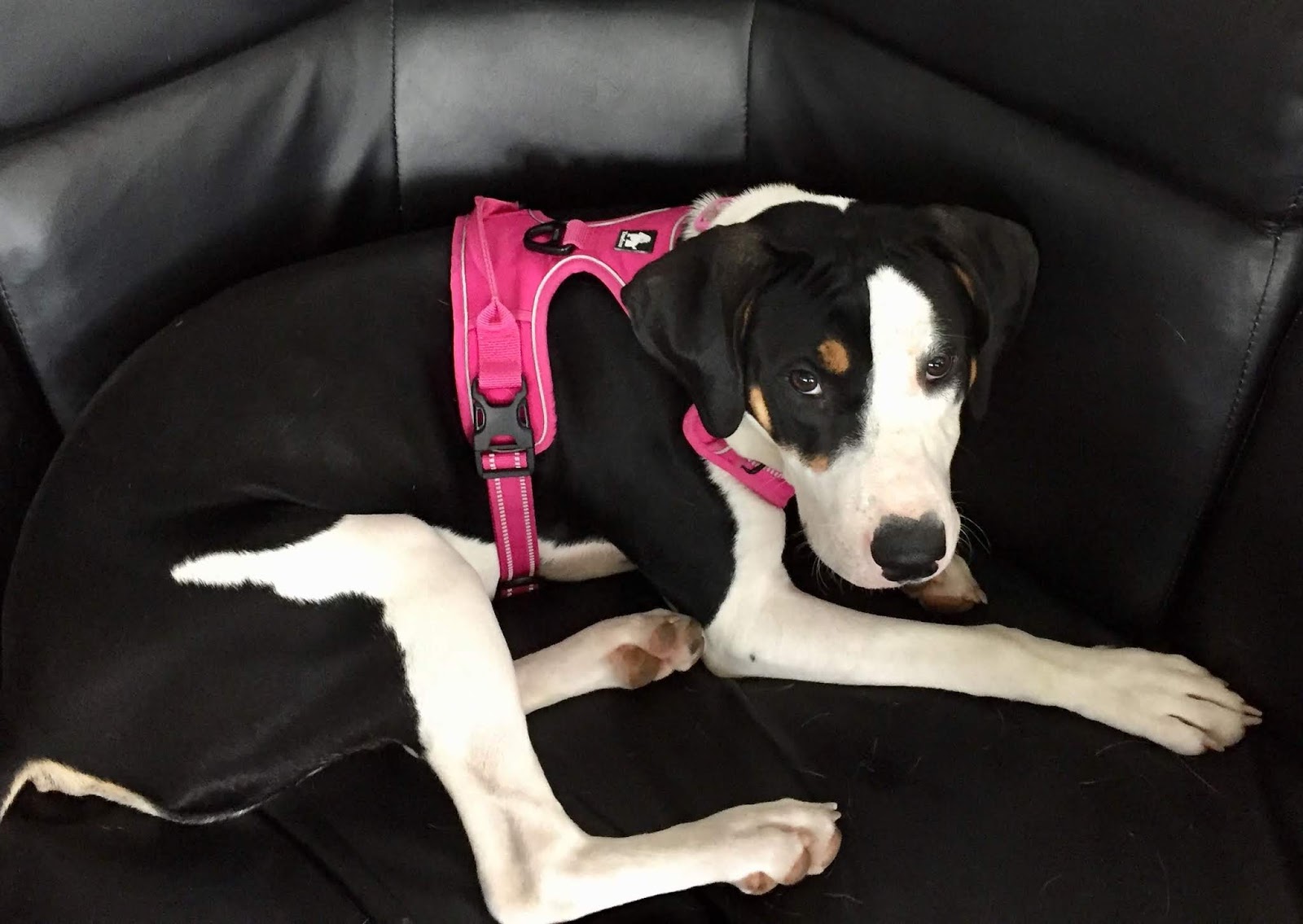
And the newest member, hoping to soon reach Provisional Third Mate, Dora.
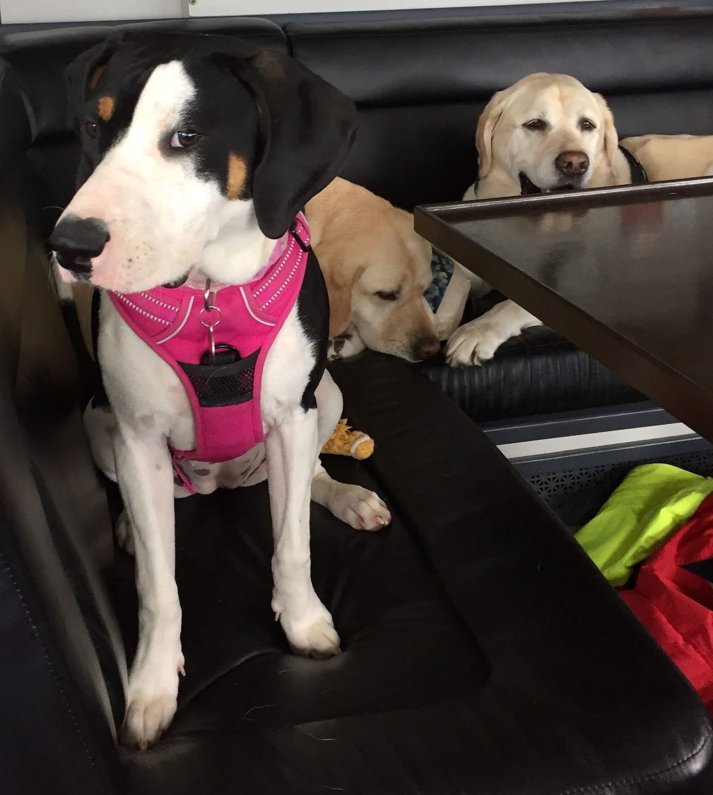
Dora did great with just one little issue. She is fearless. Literally. That’ll be a future blog entry. Mom has to calm down first…
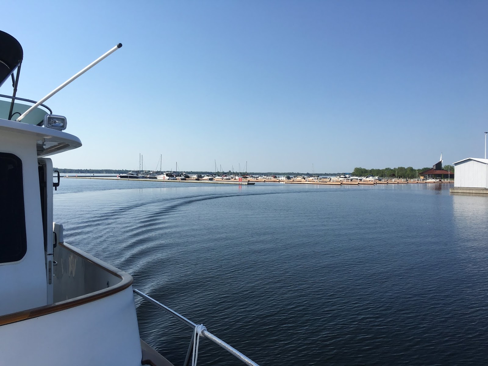
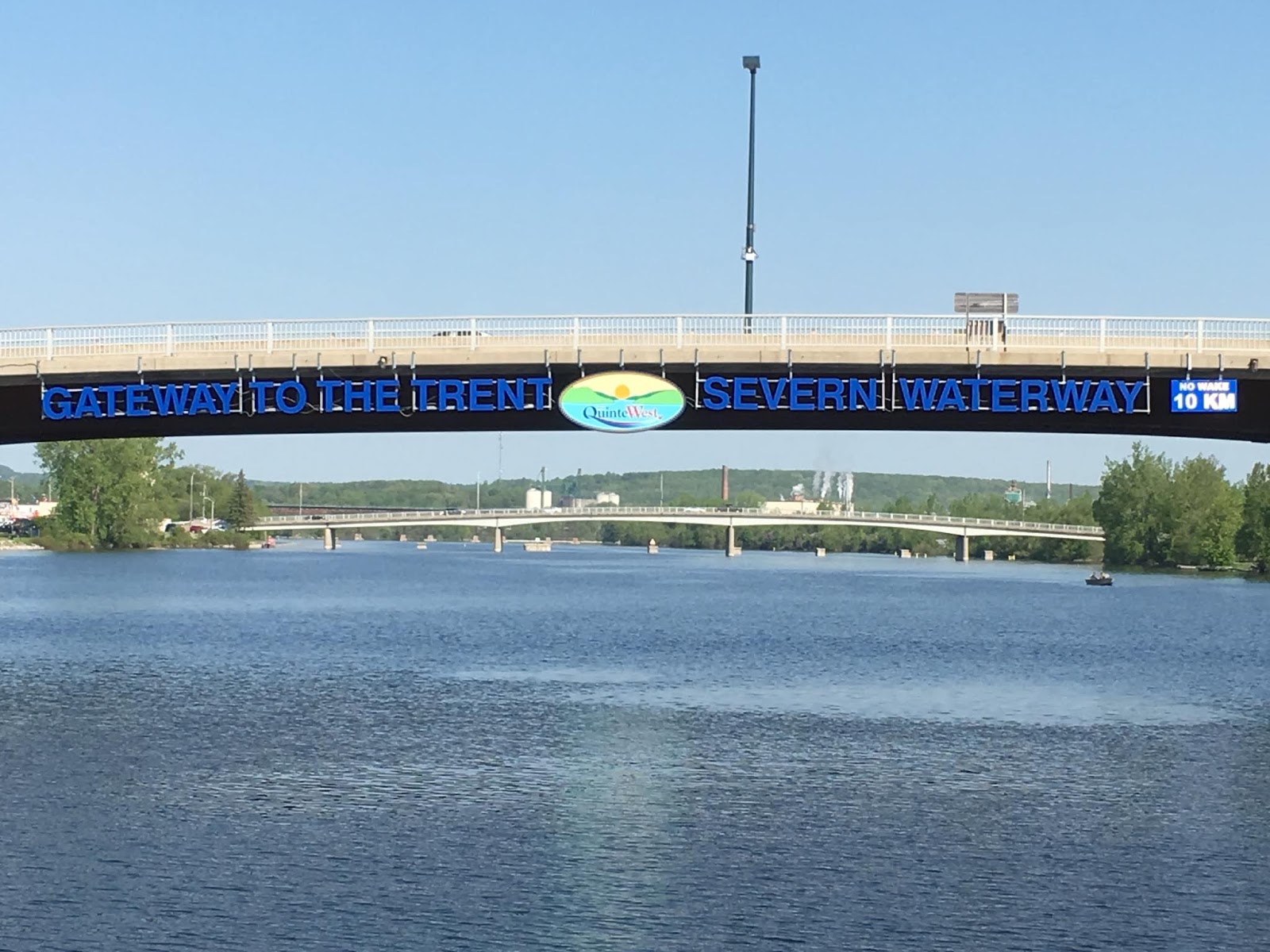
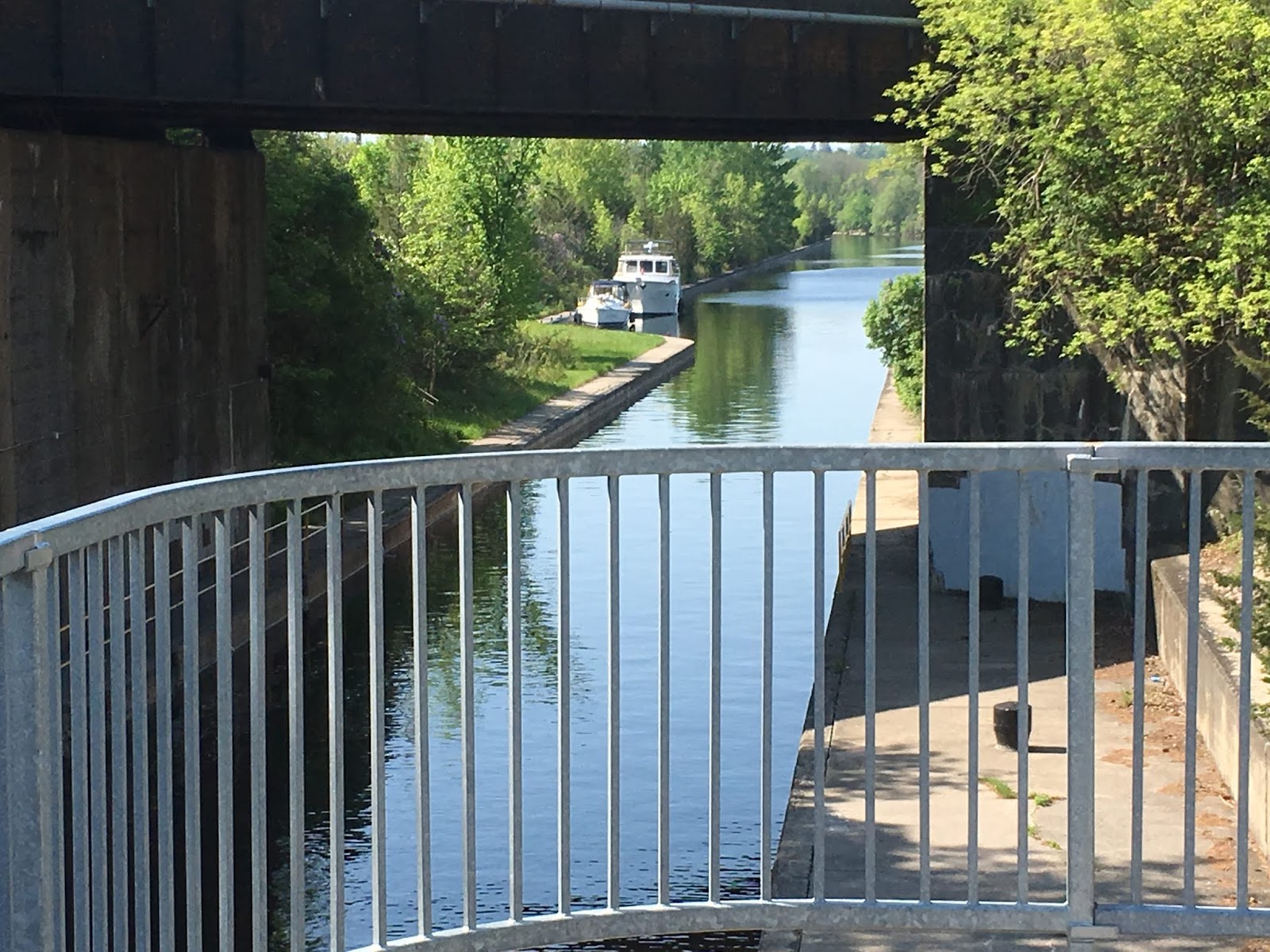
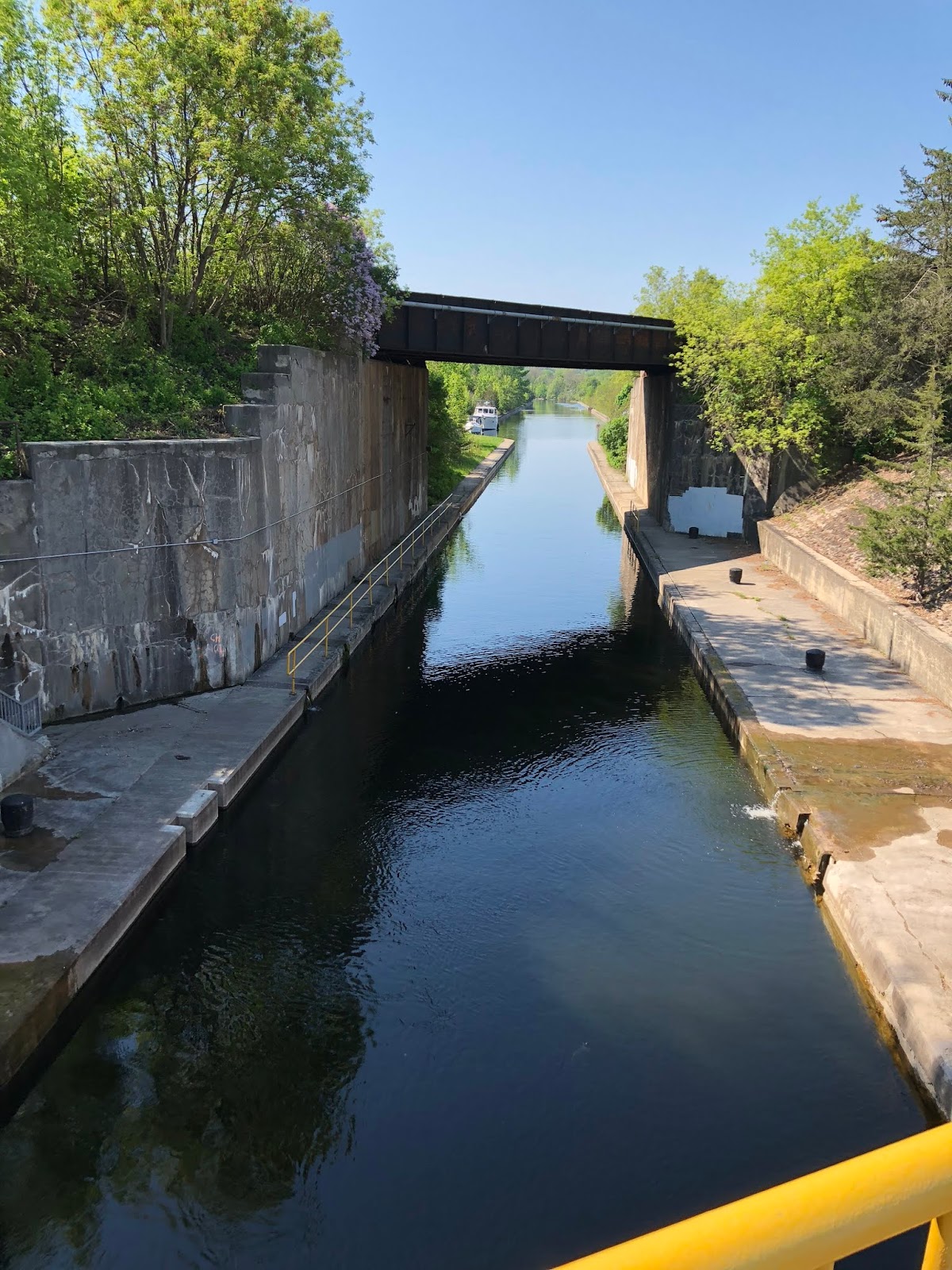
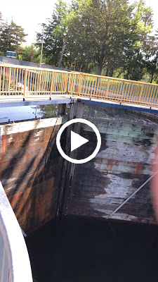
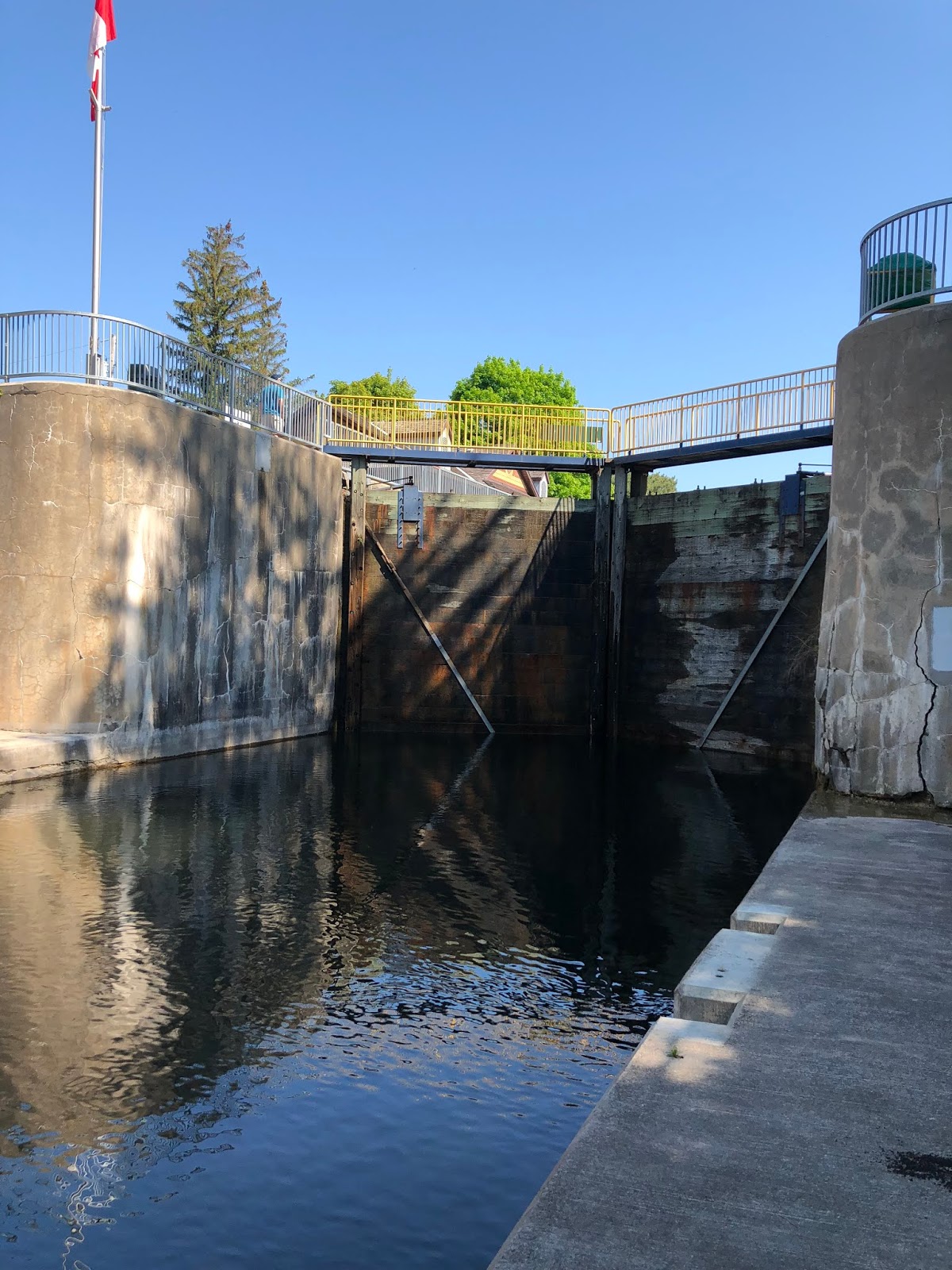
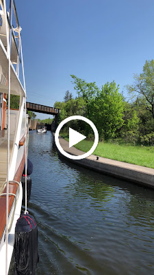
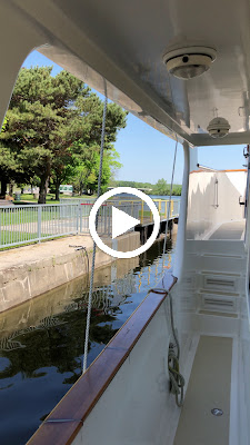
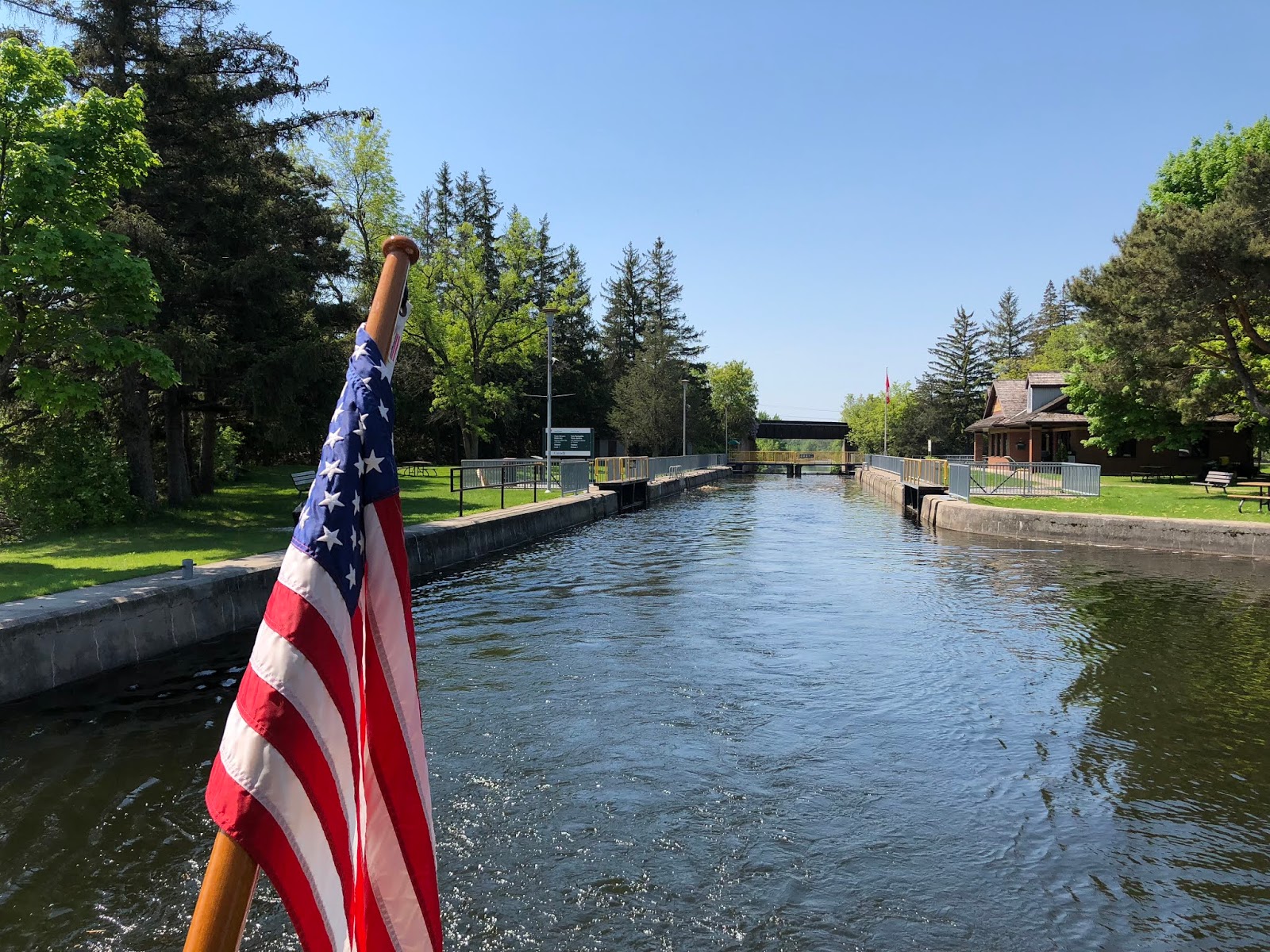
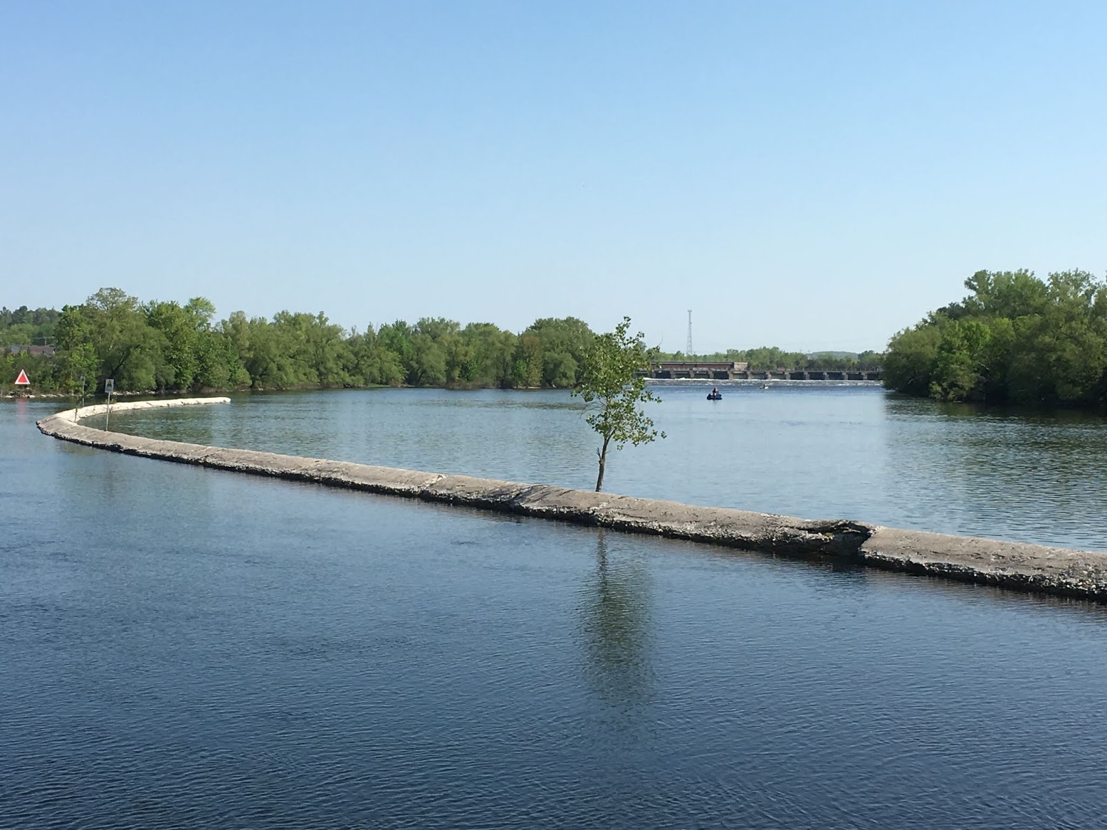
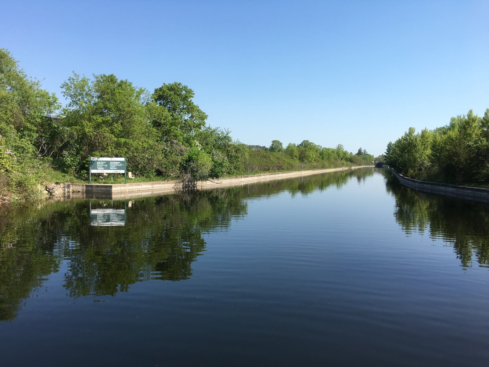
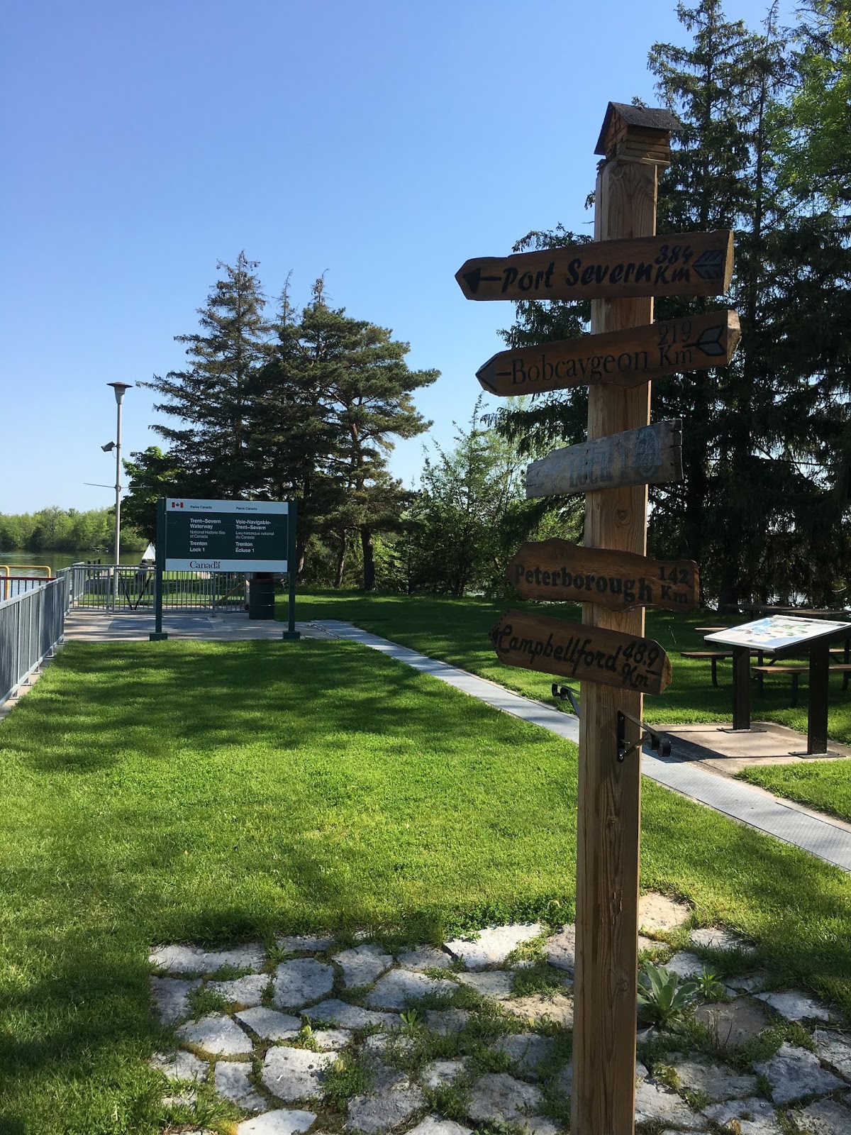
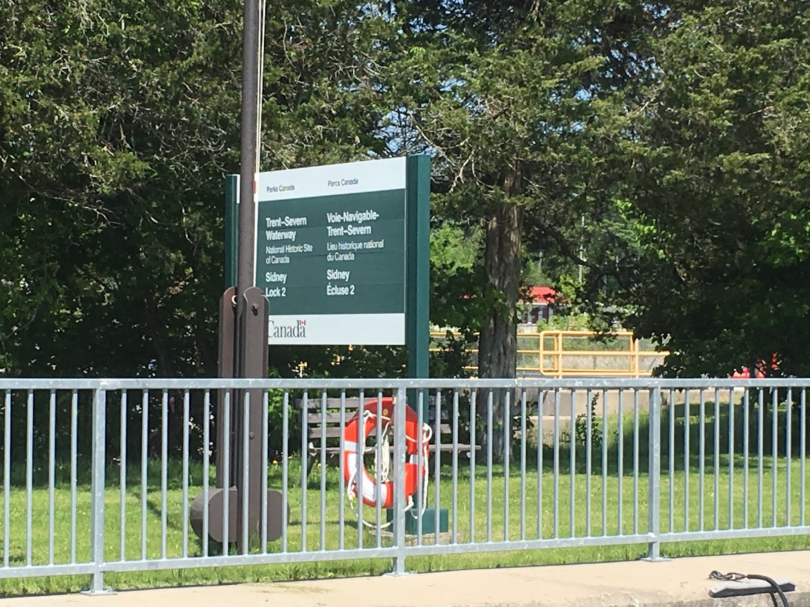
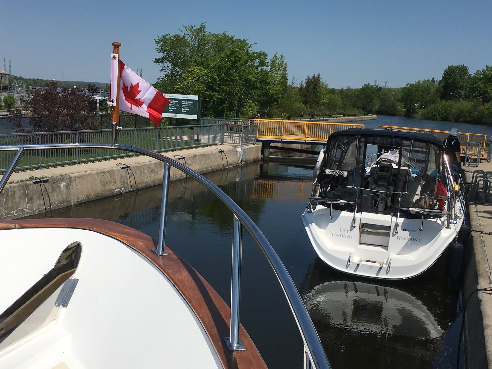
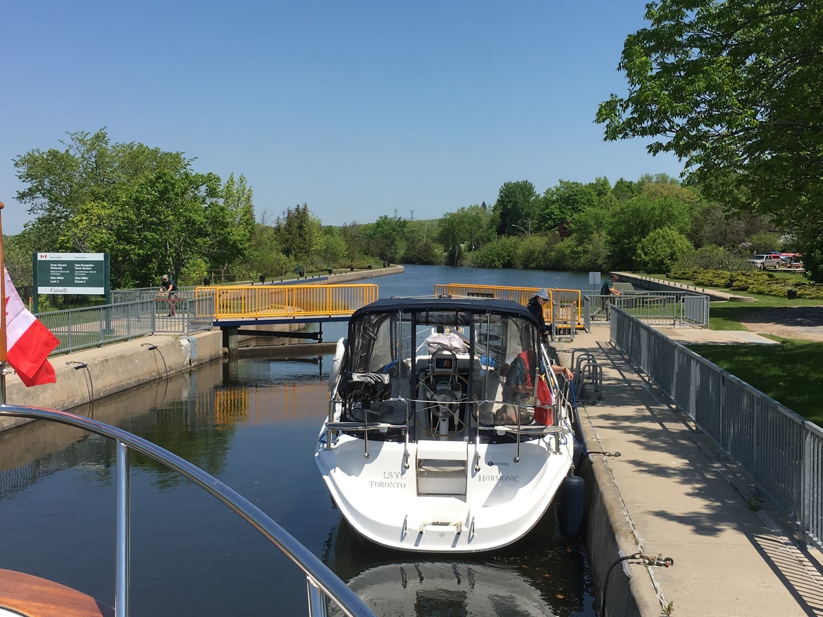
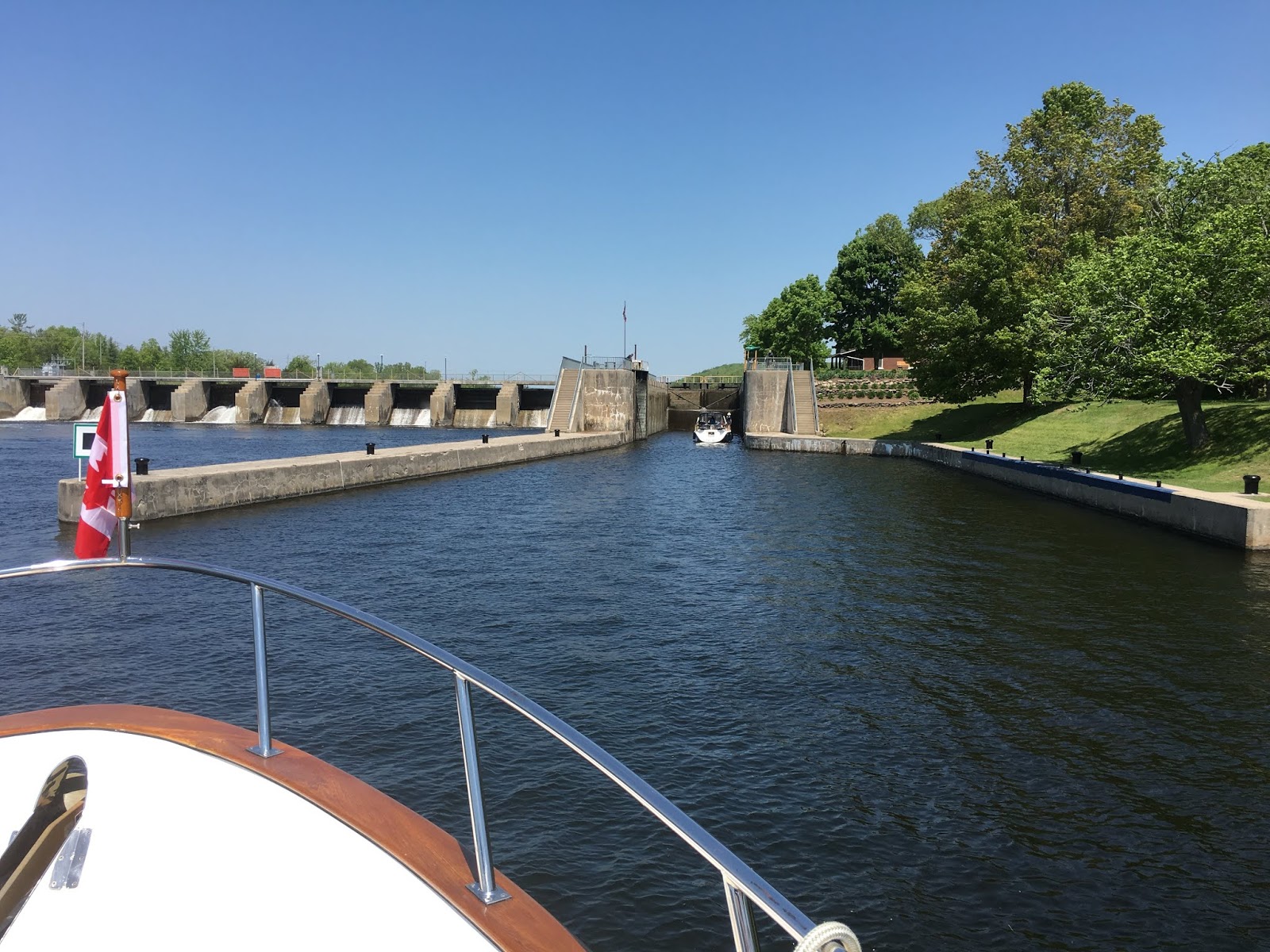
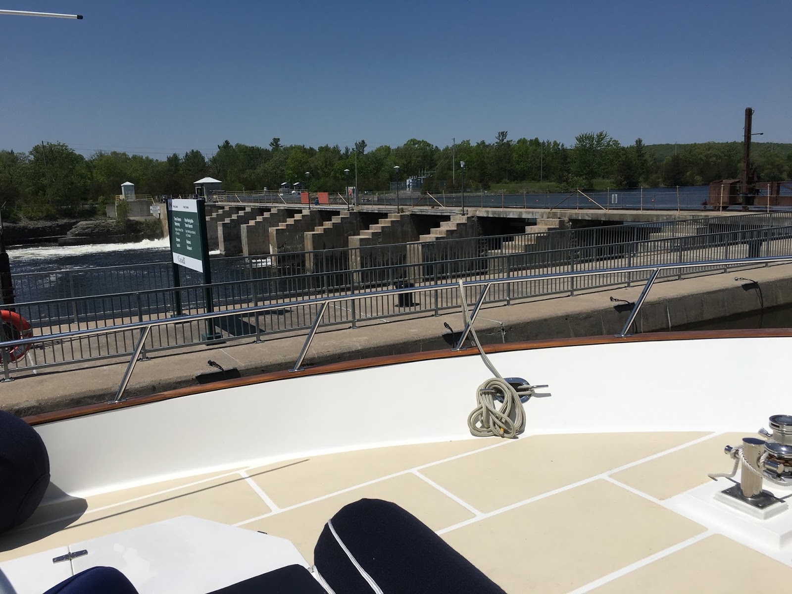
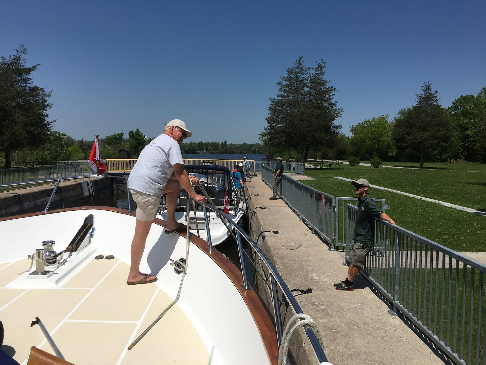
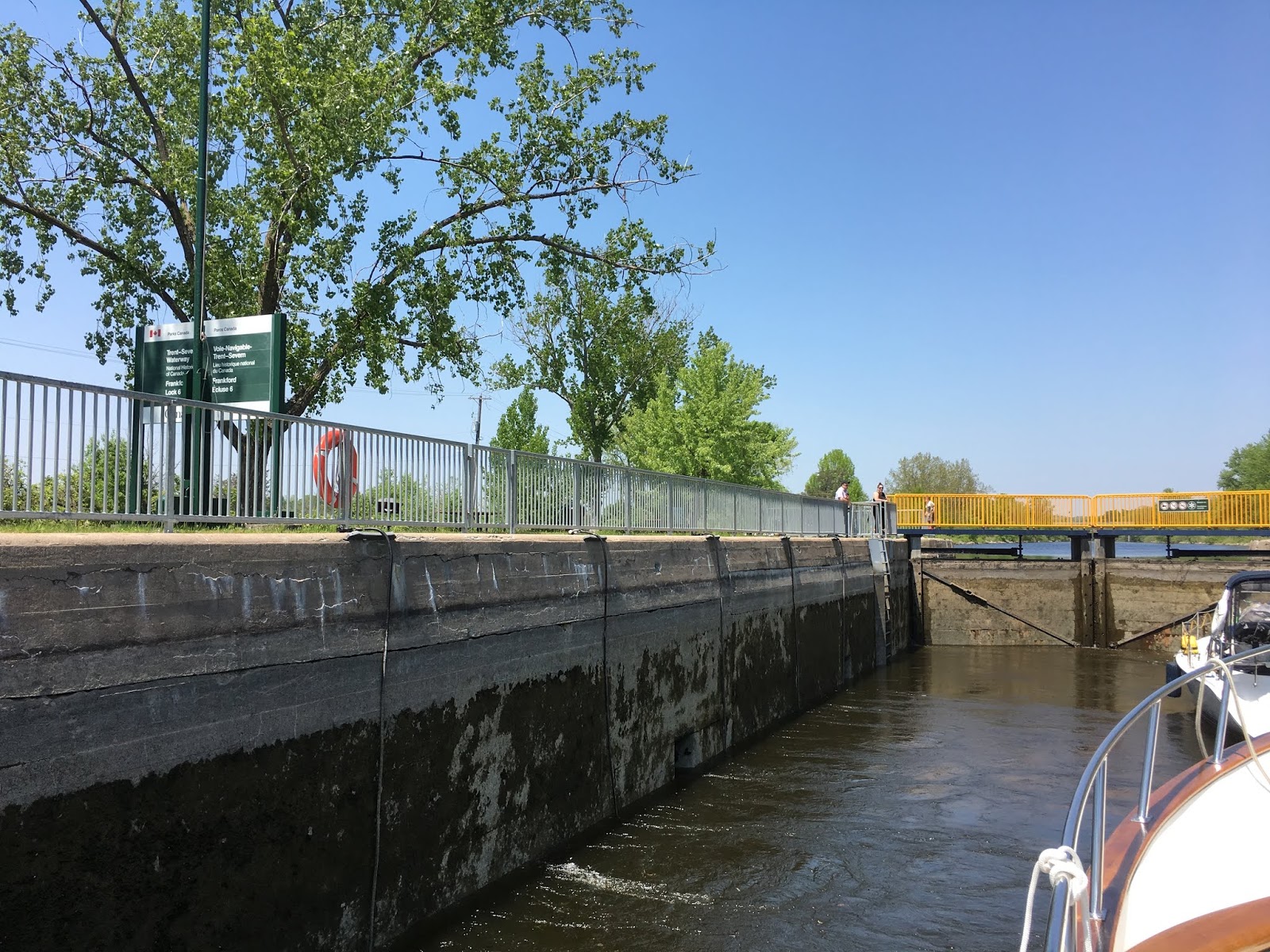
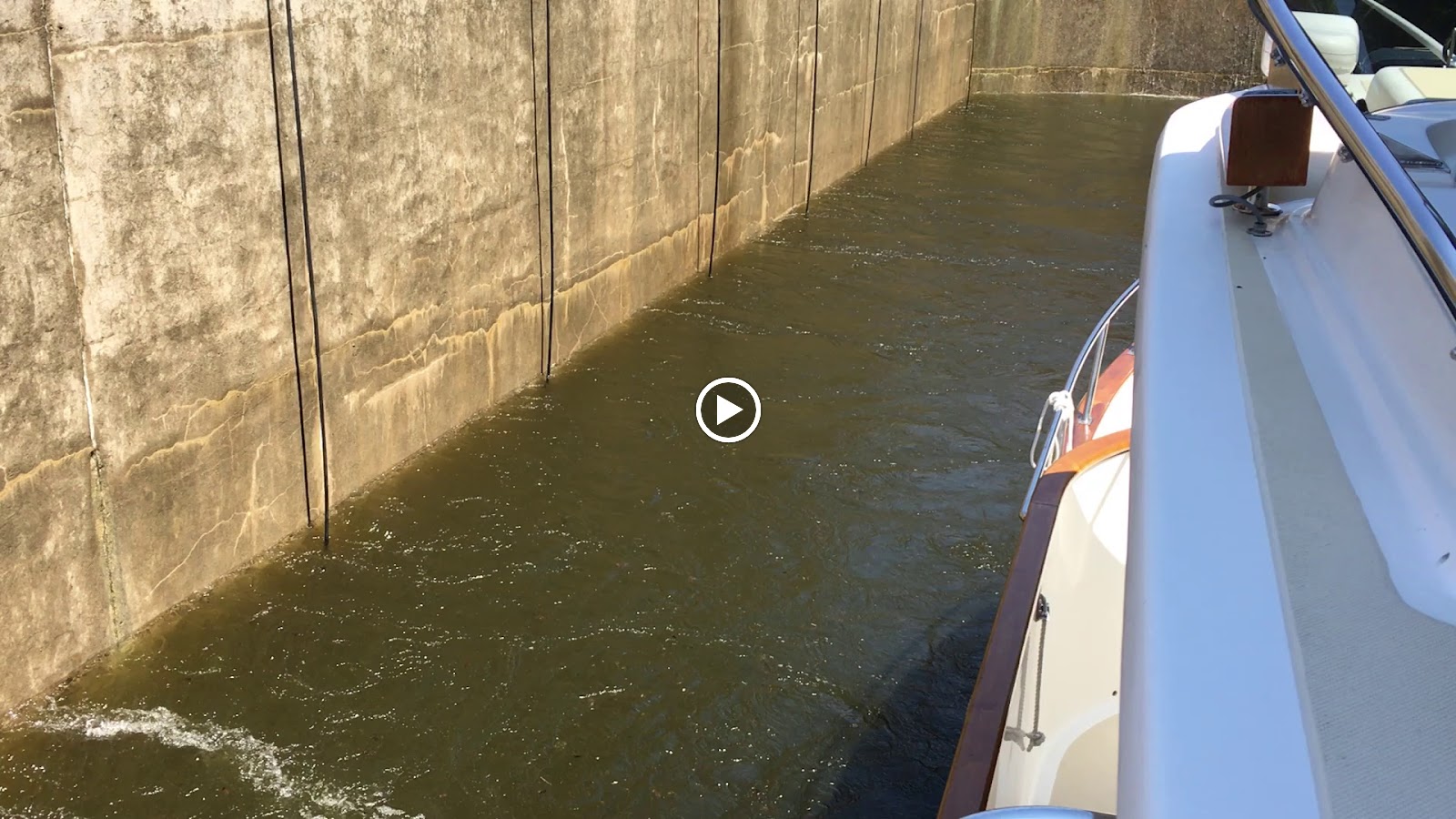
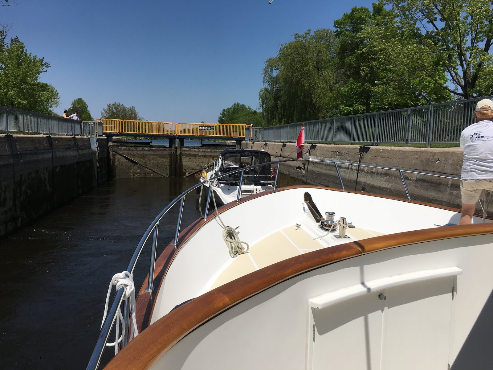
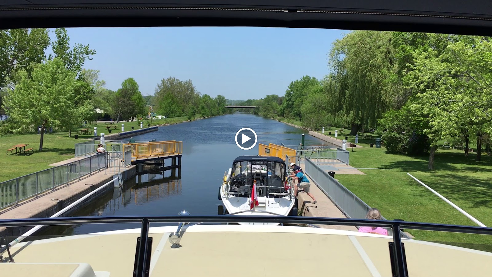
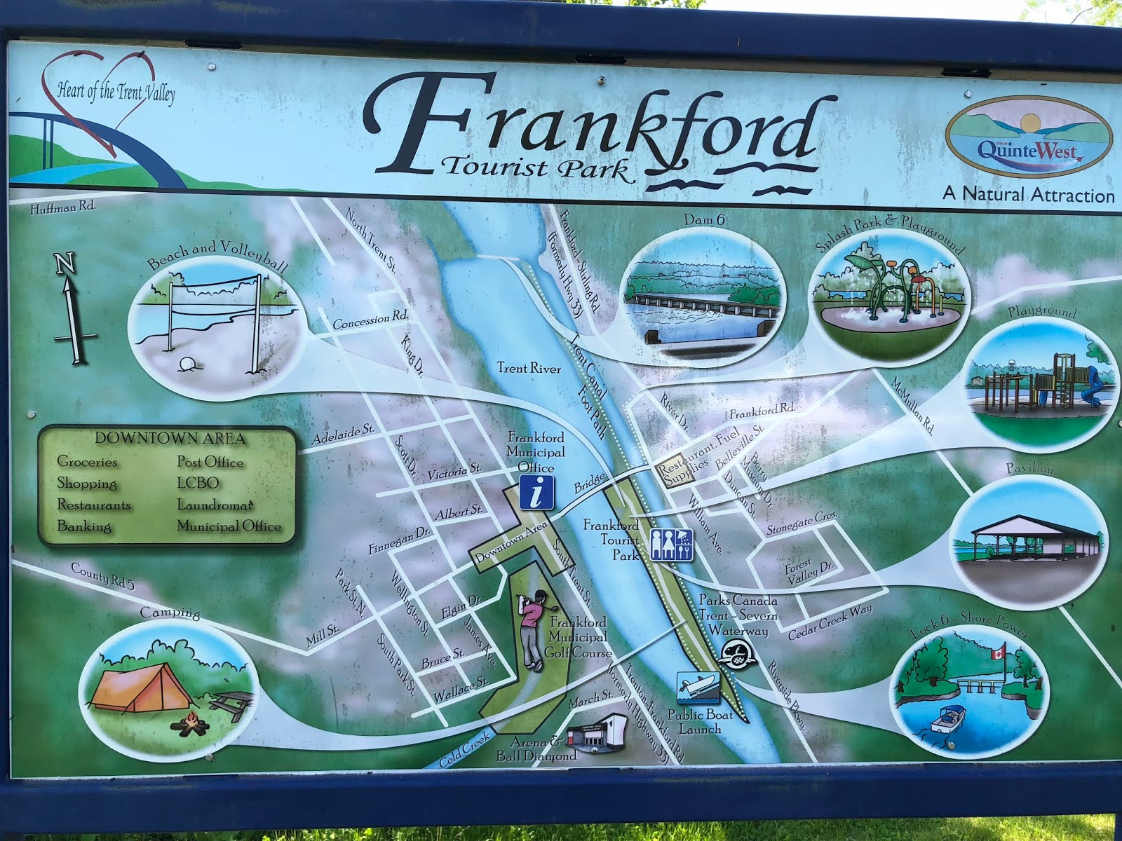
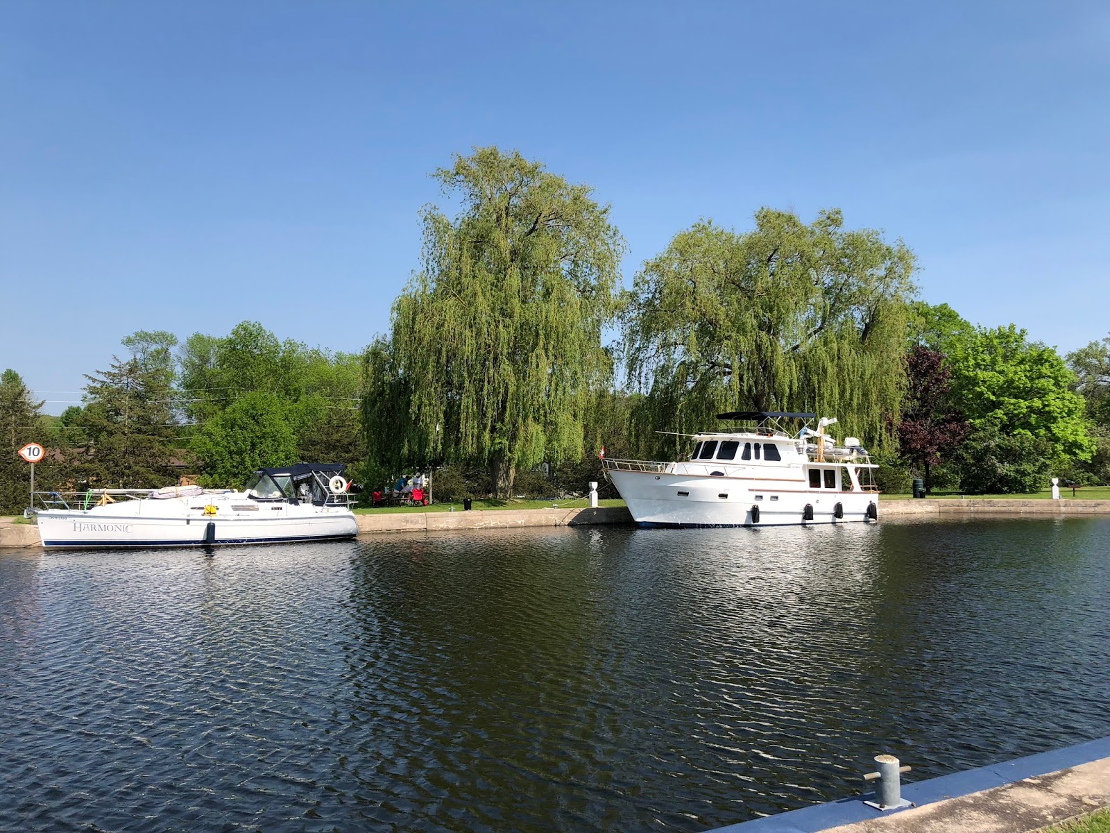
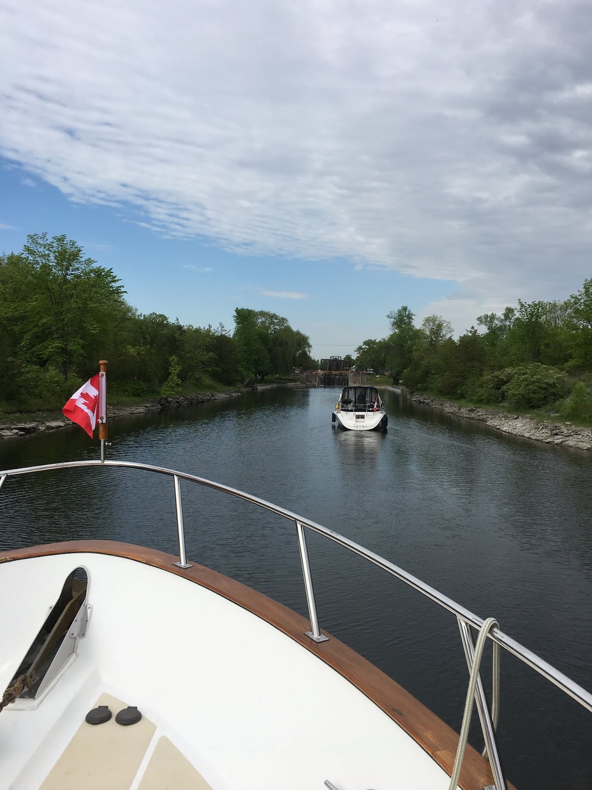
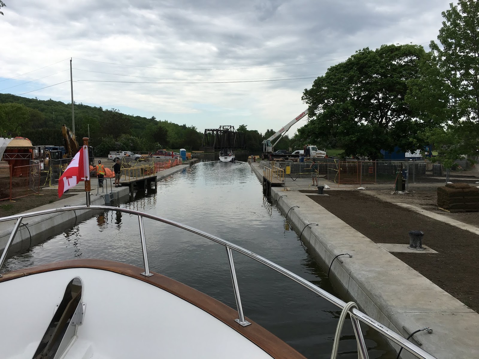
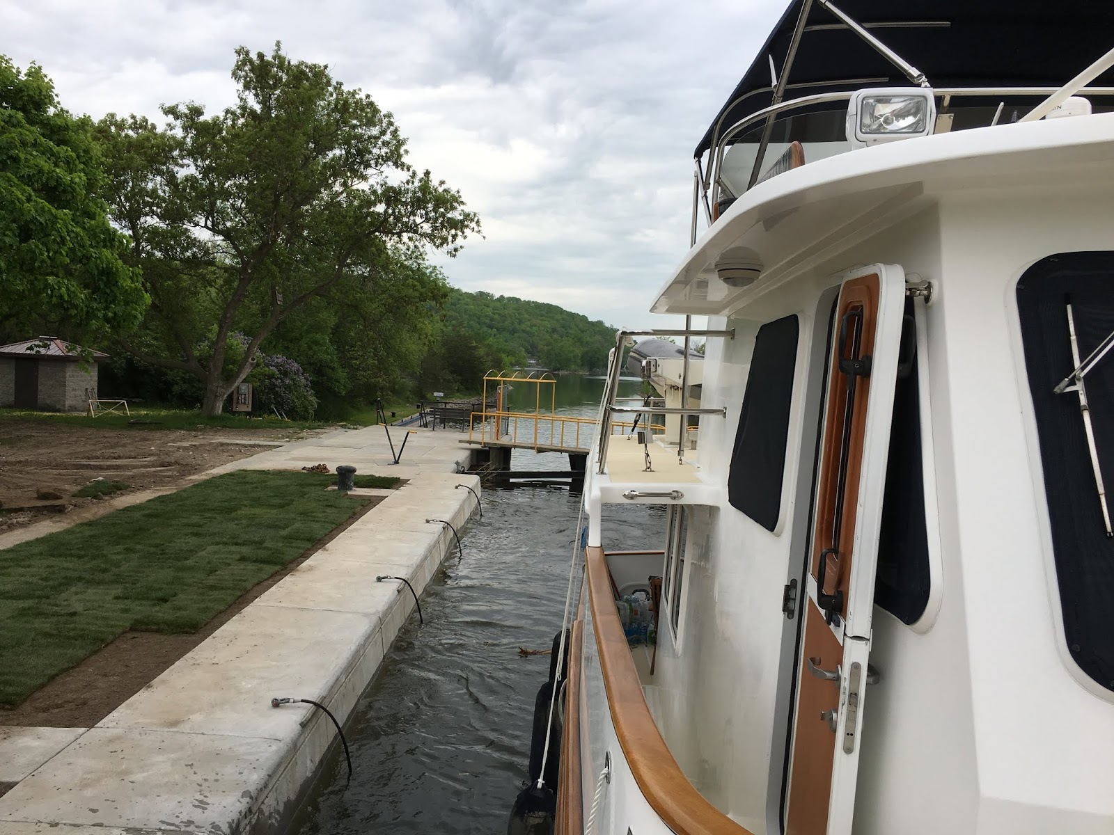
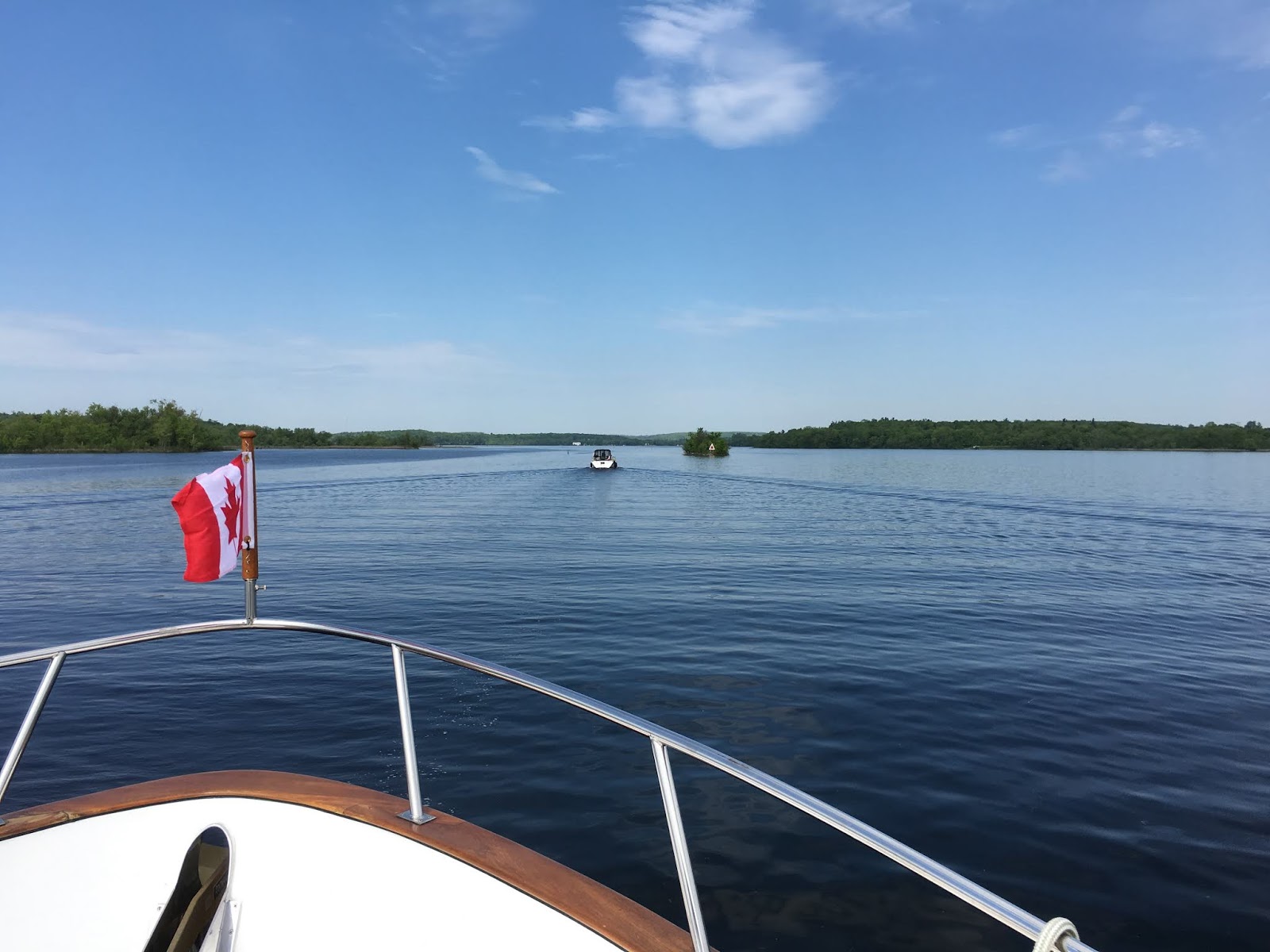
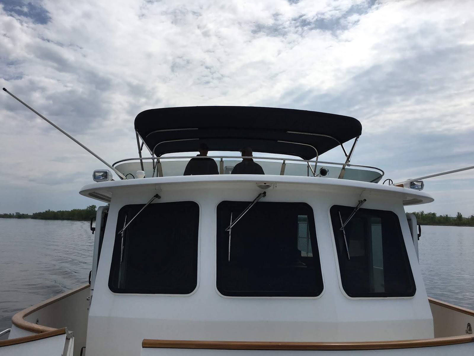
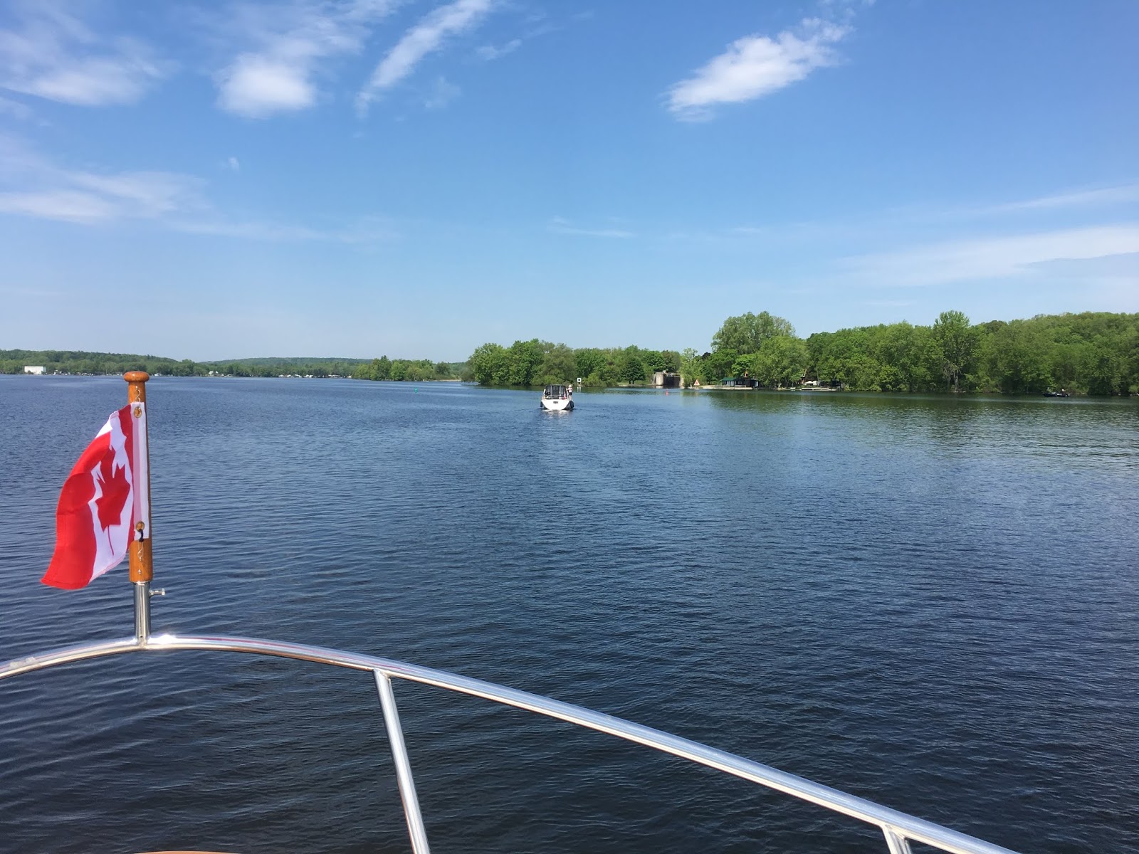
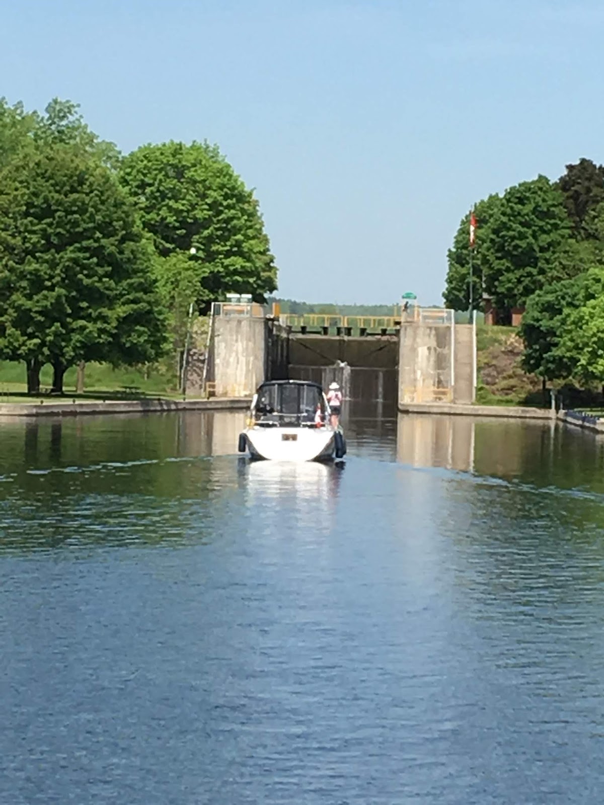
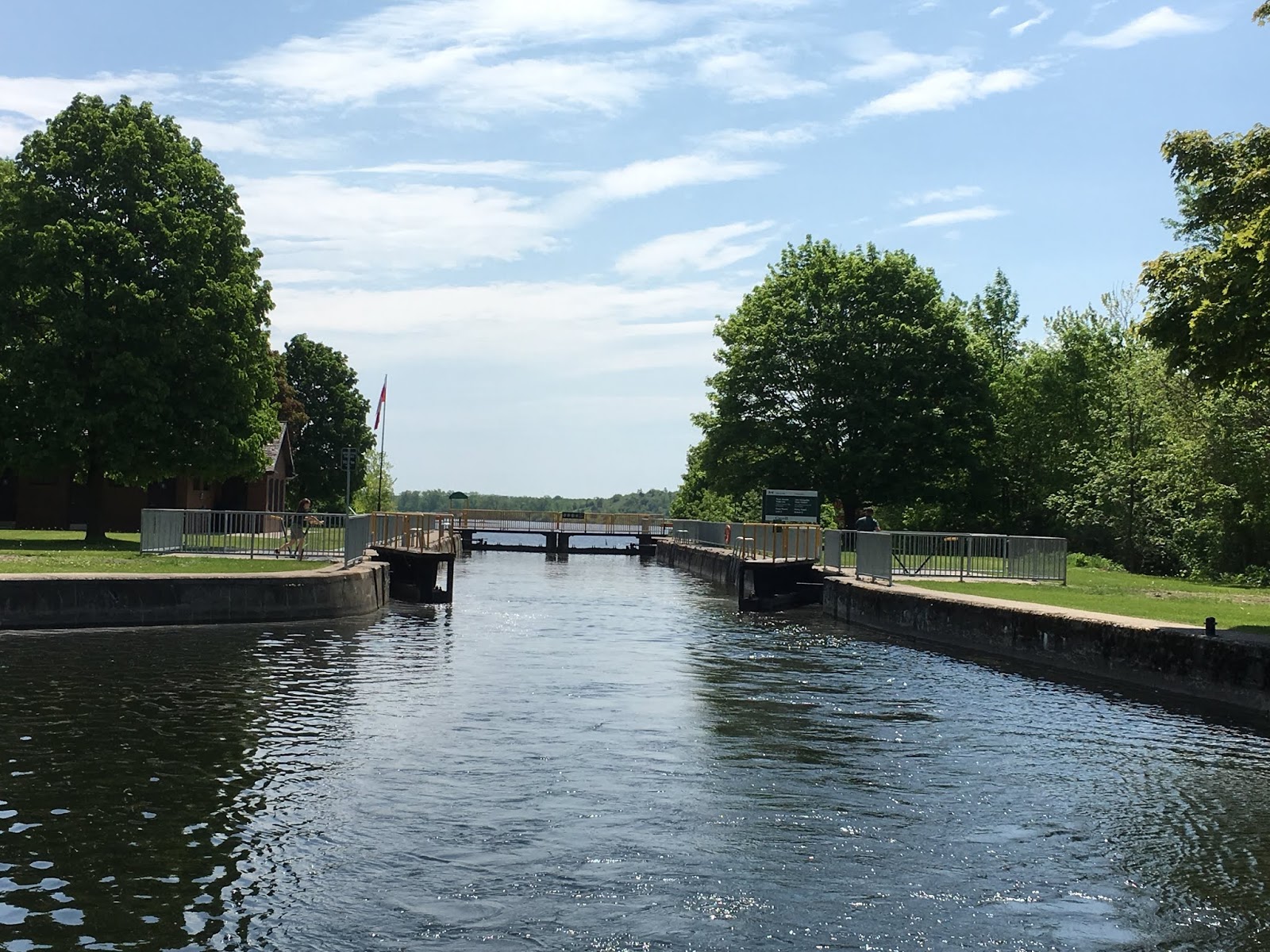
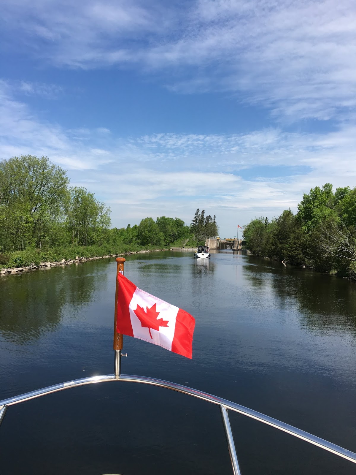
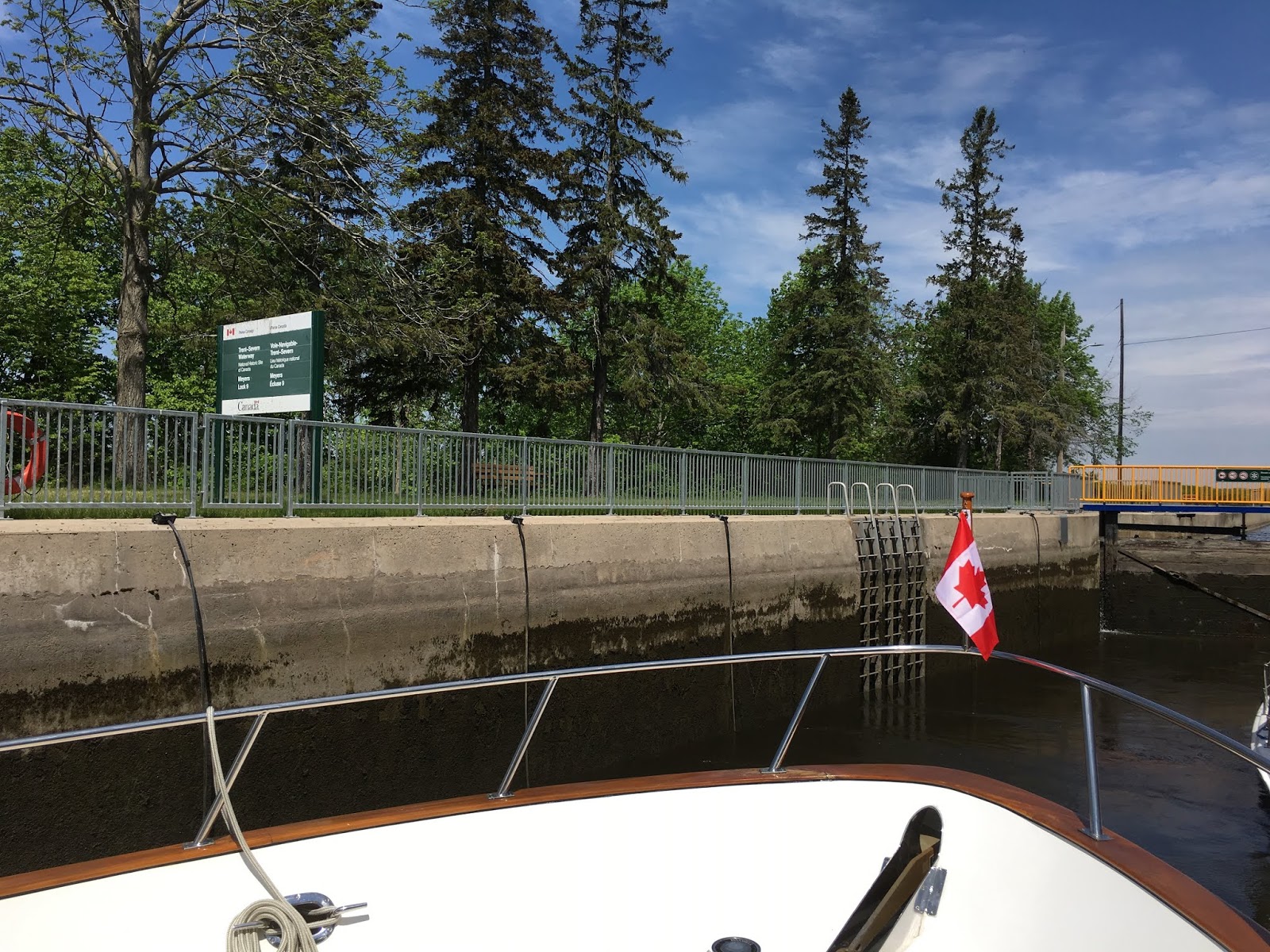
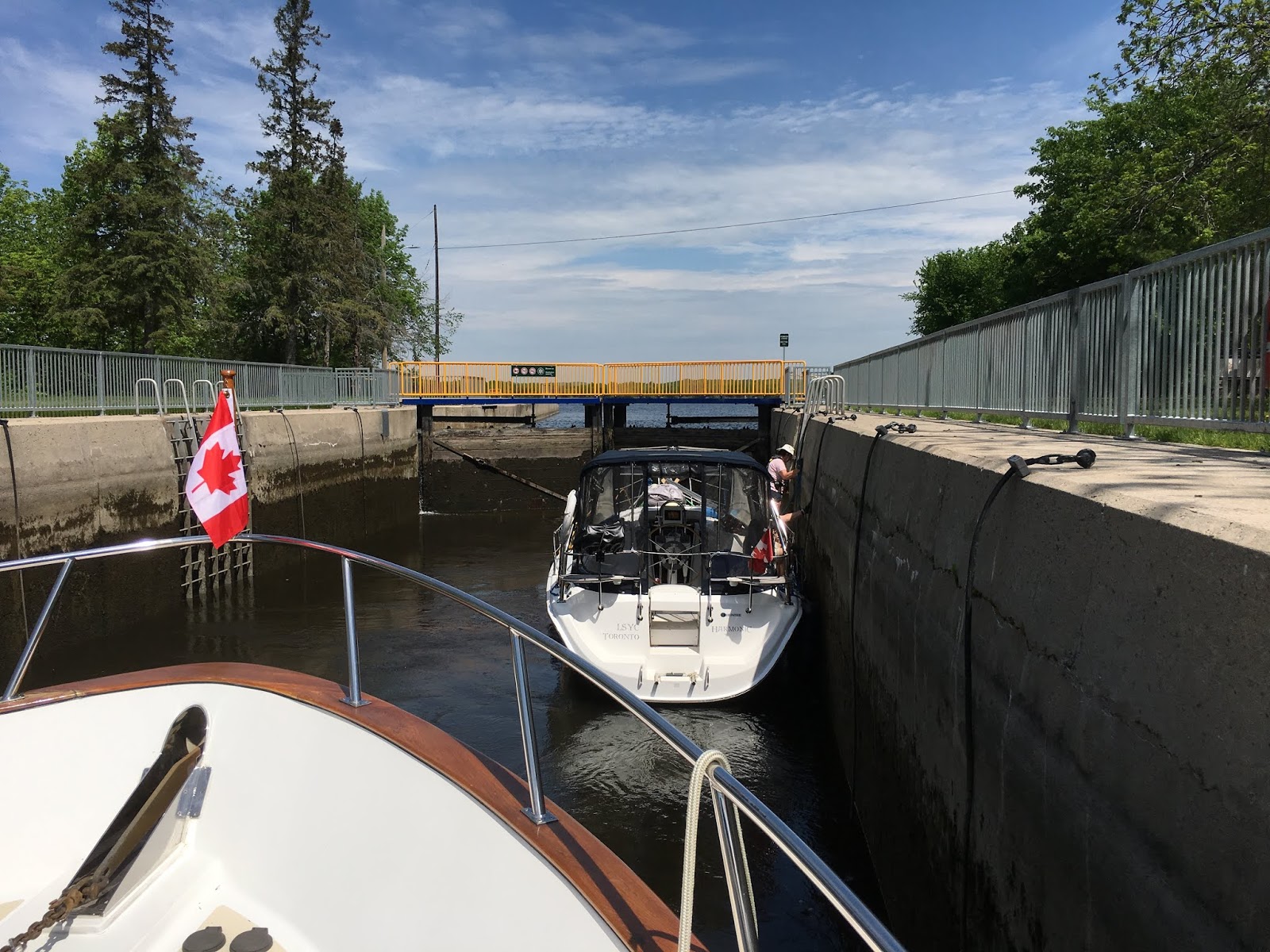
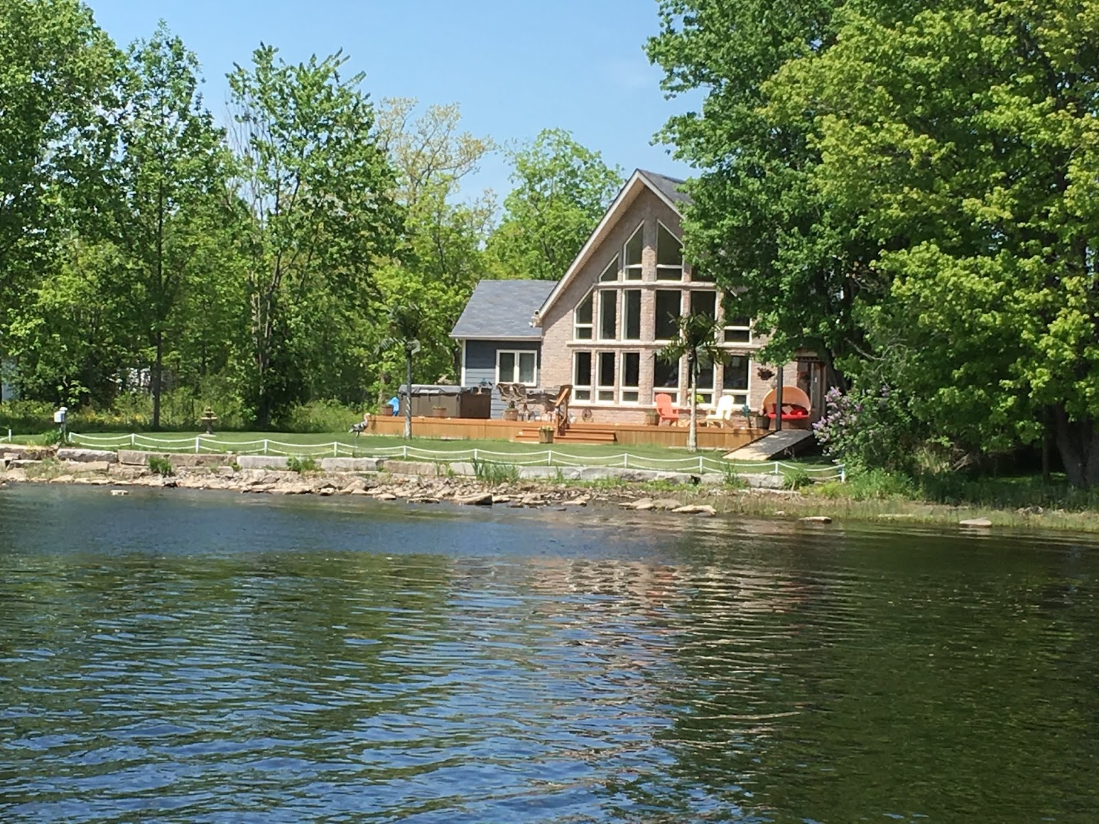
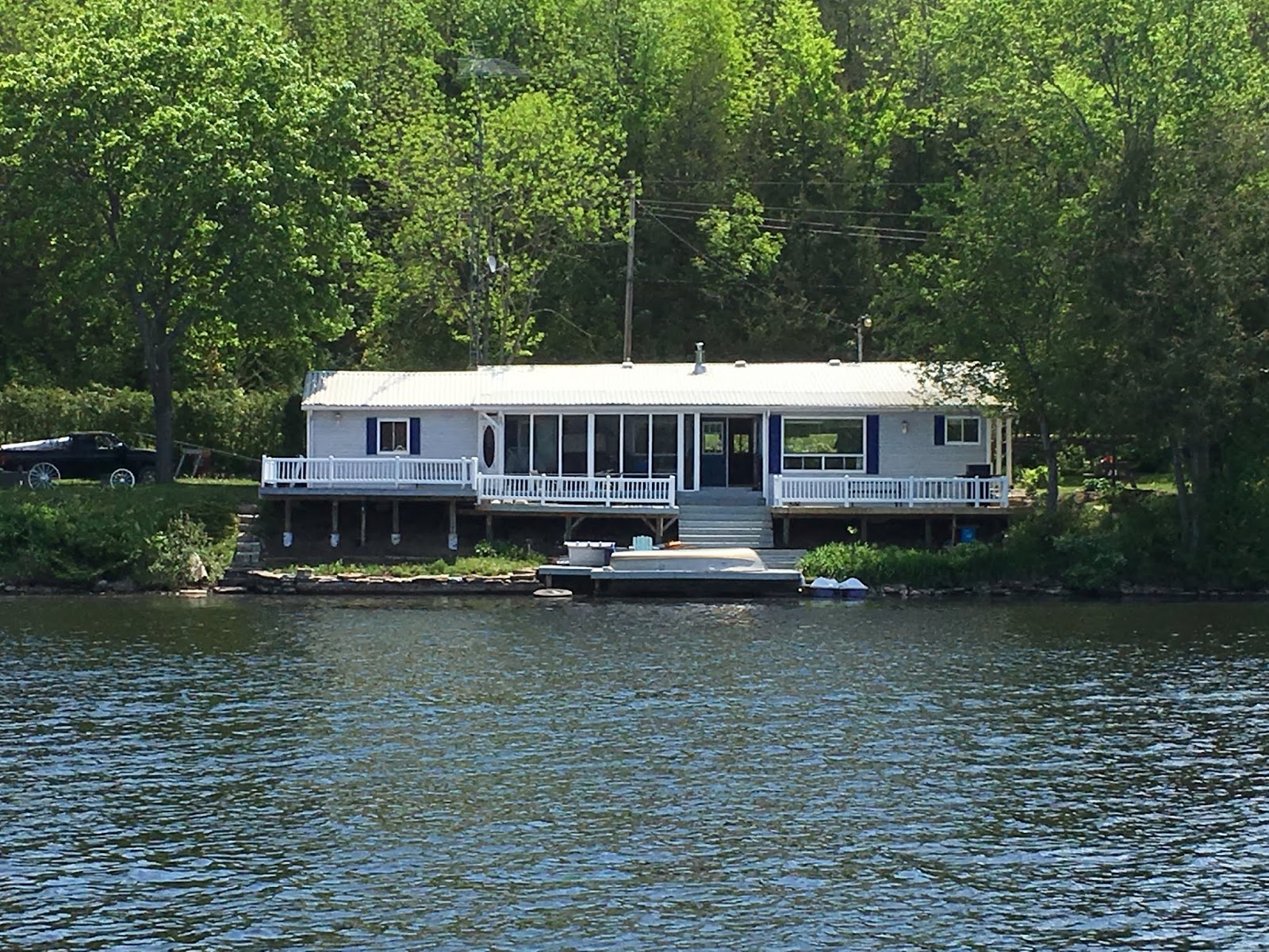
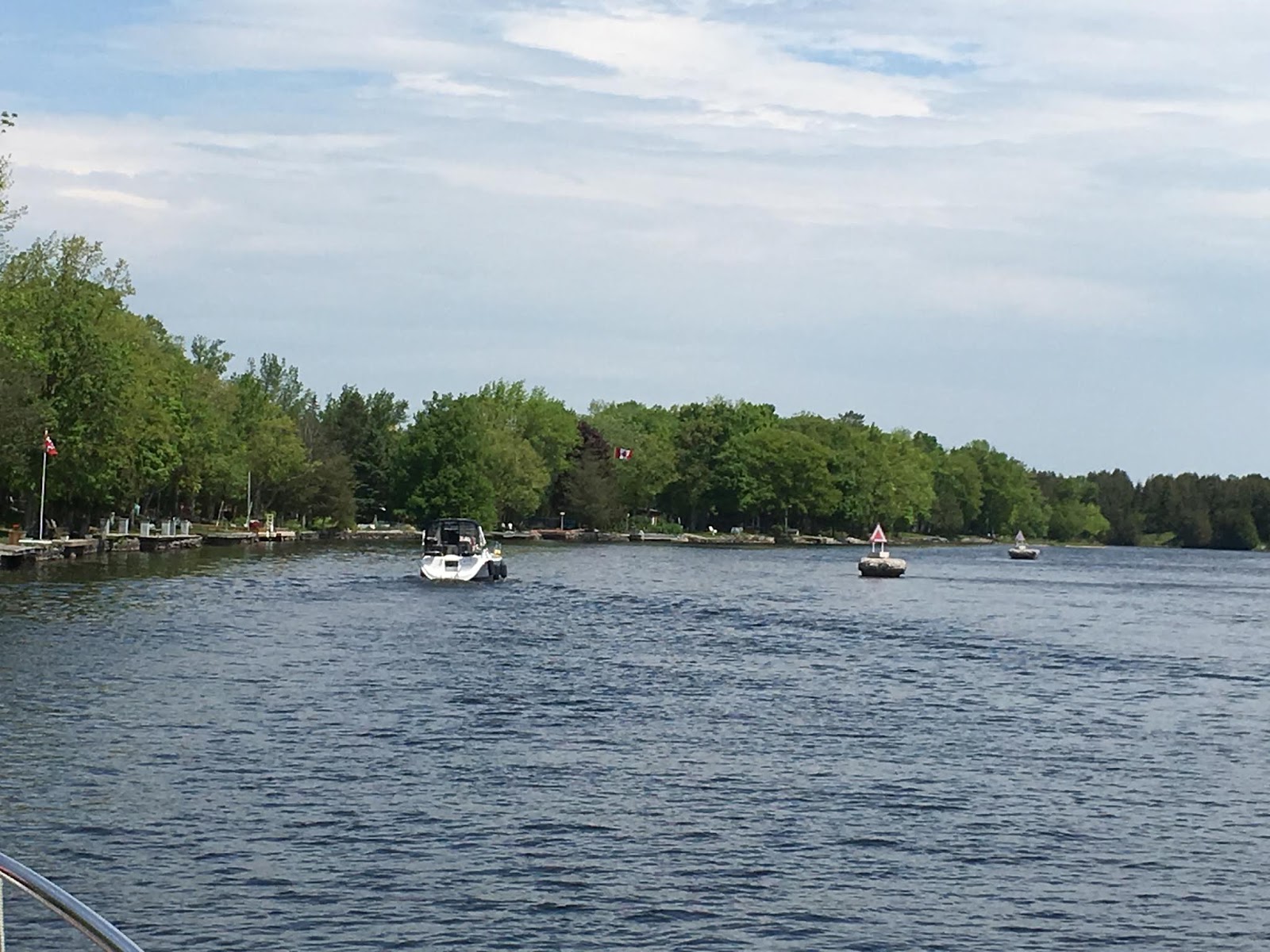
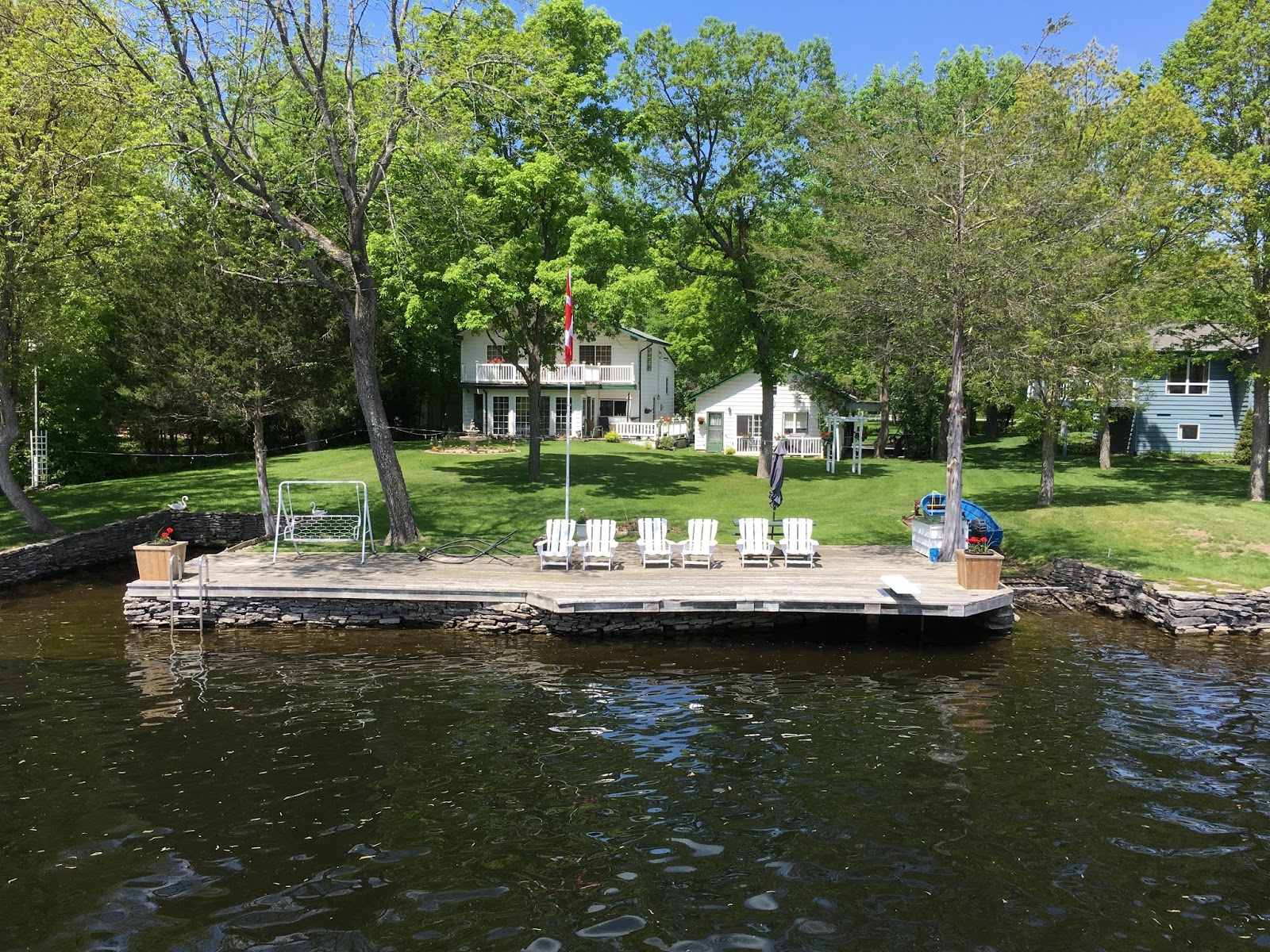
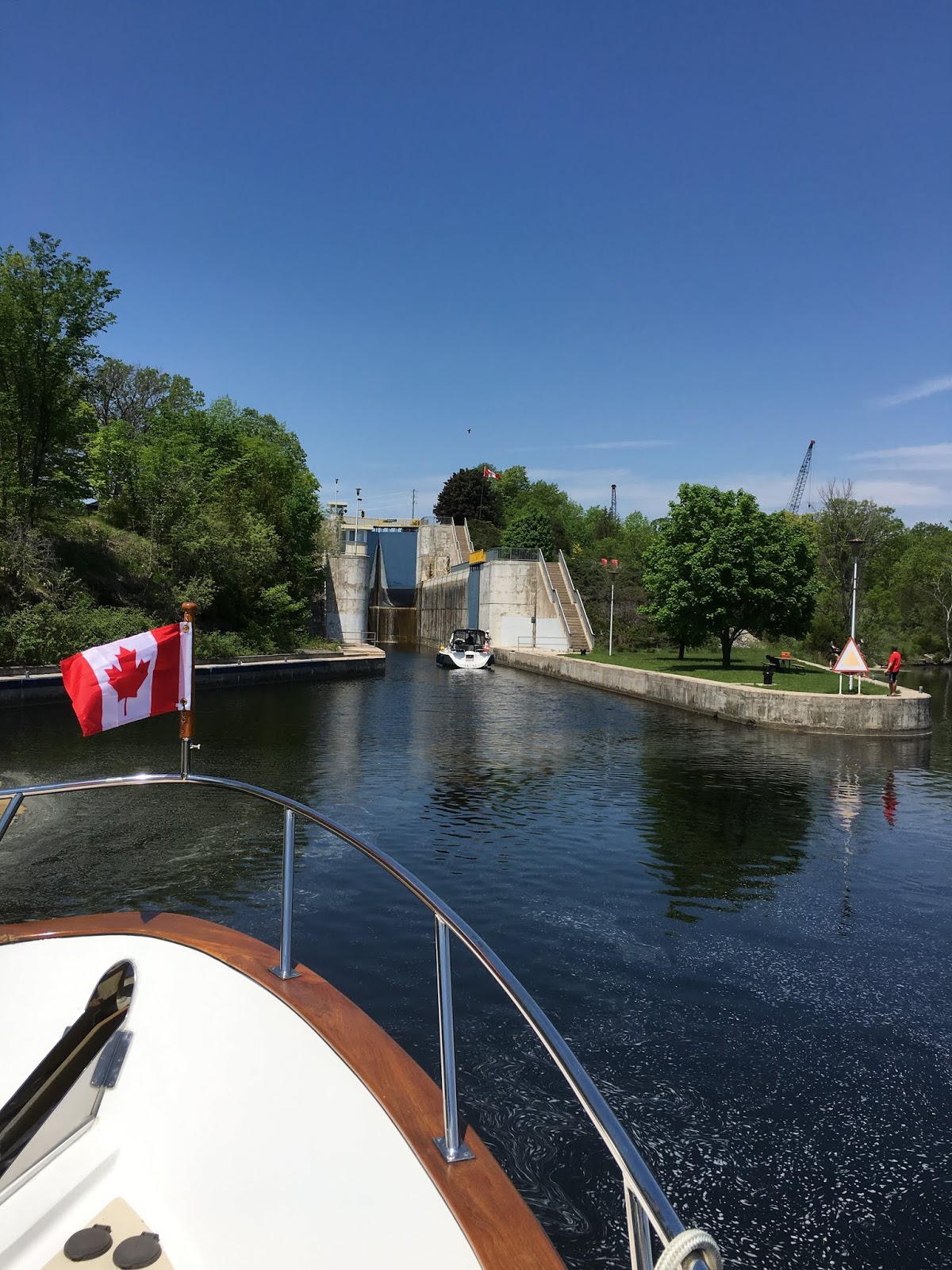
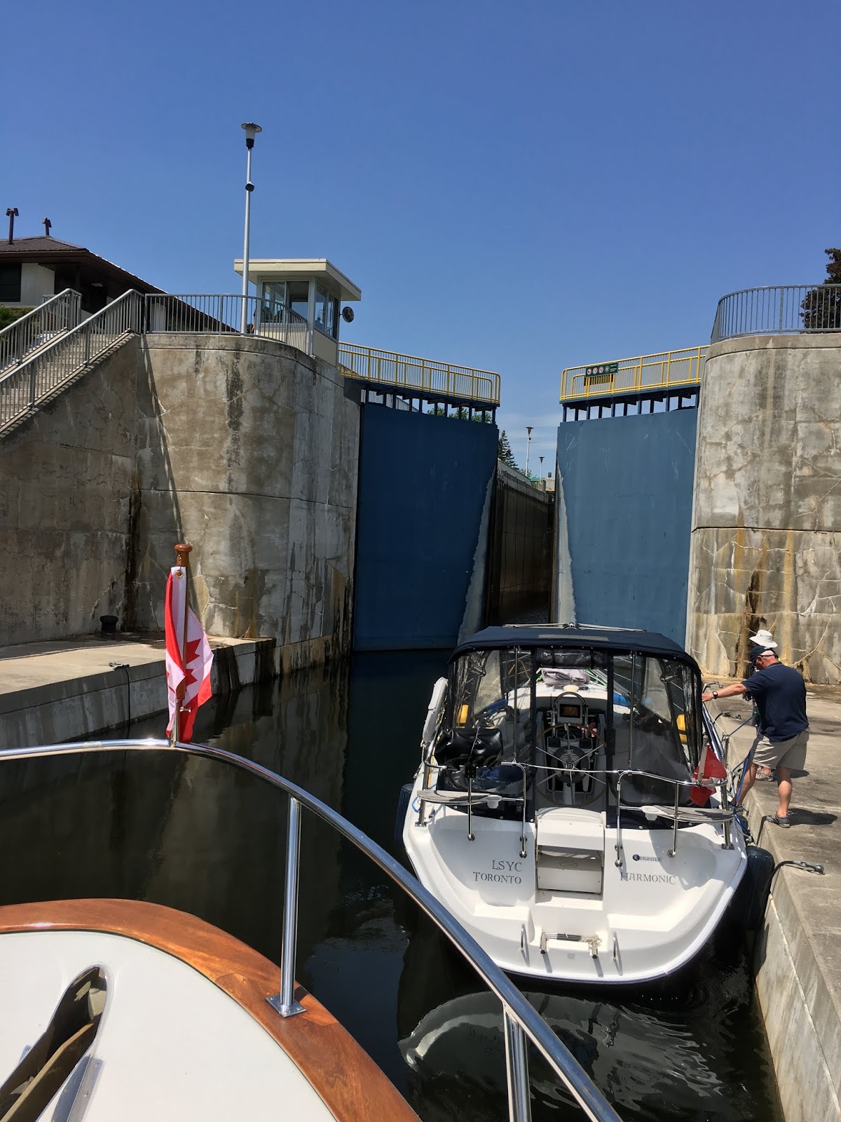
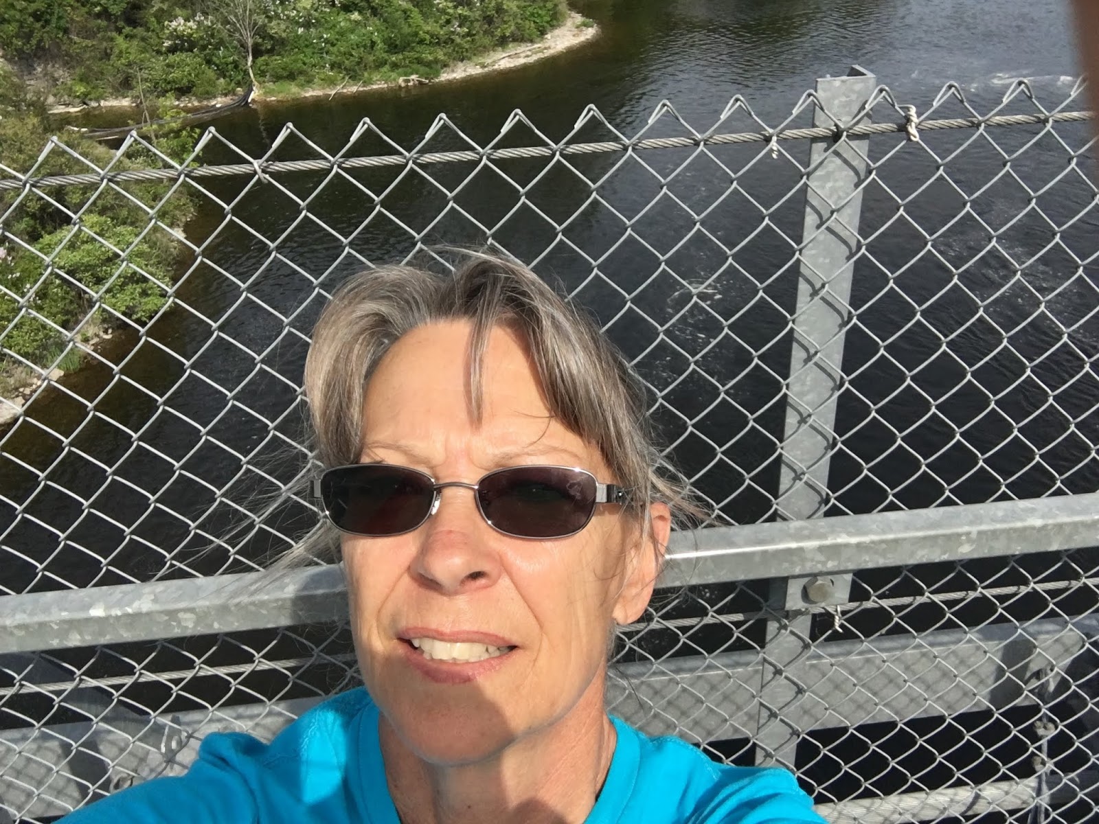
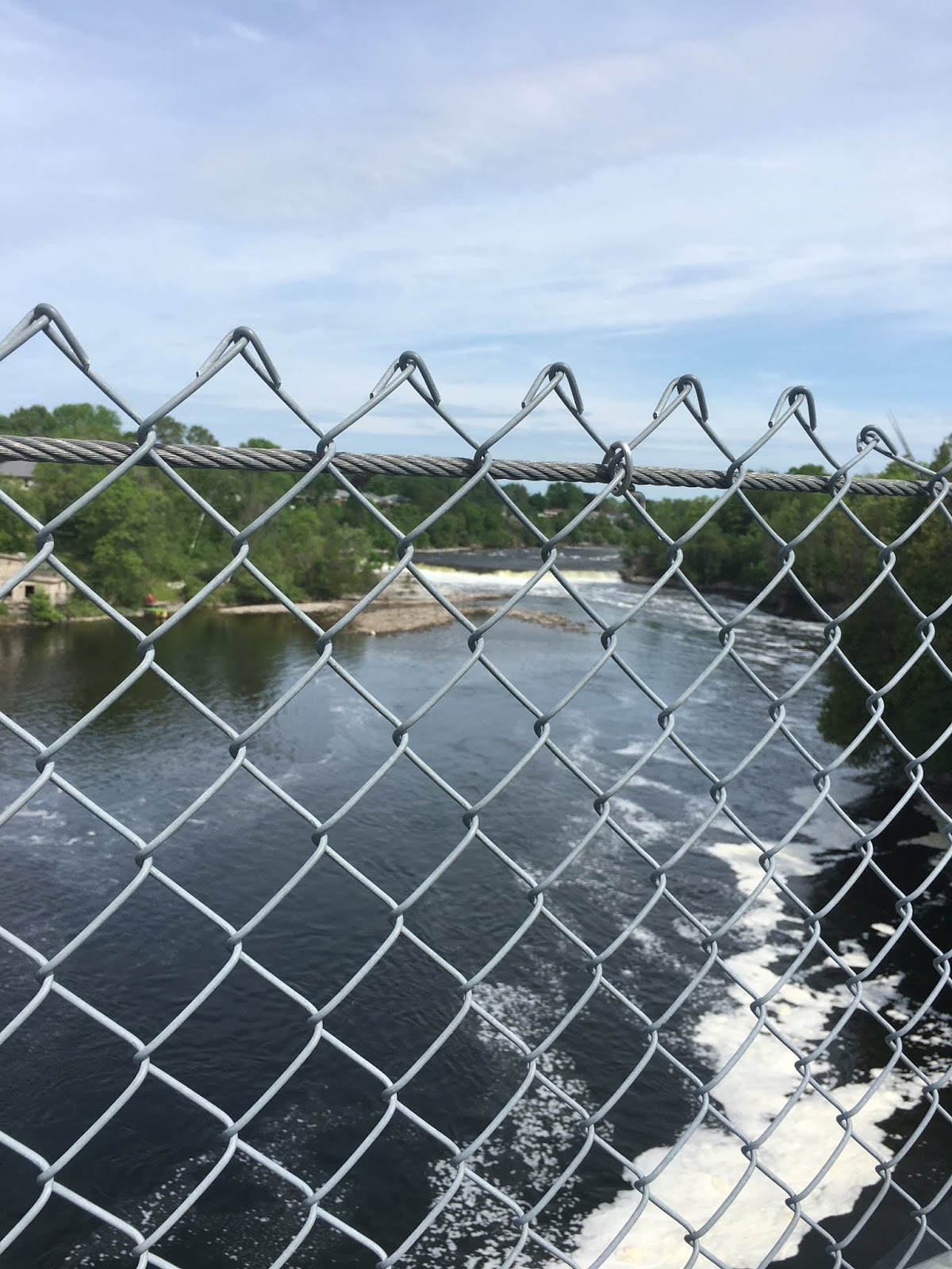
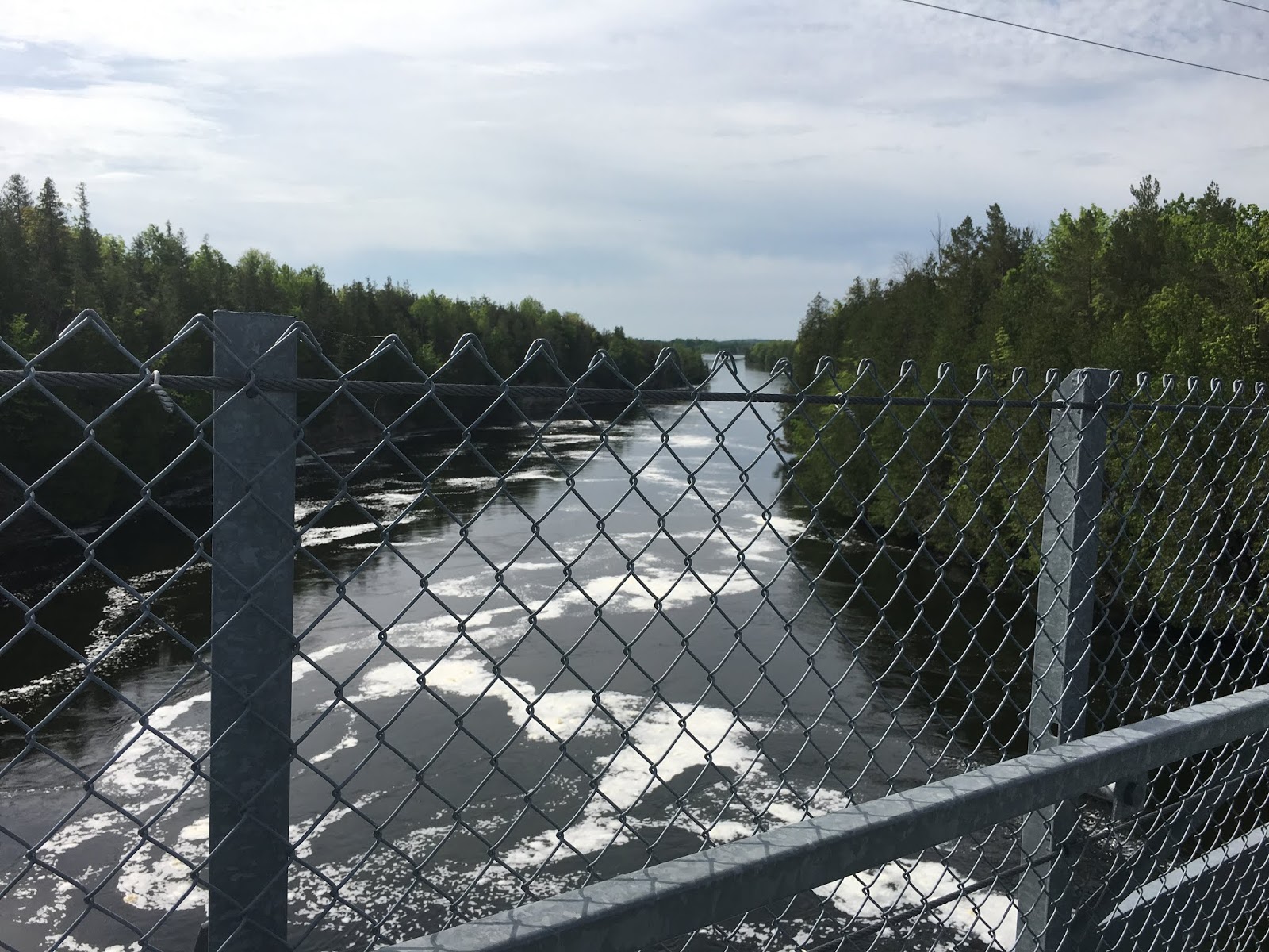
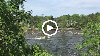
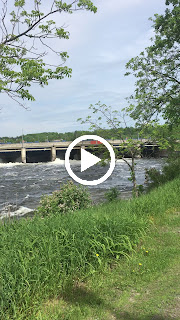
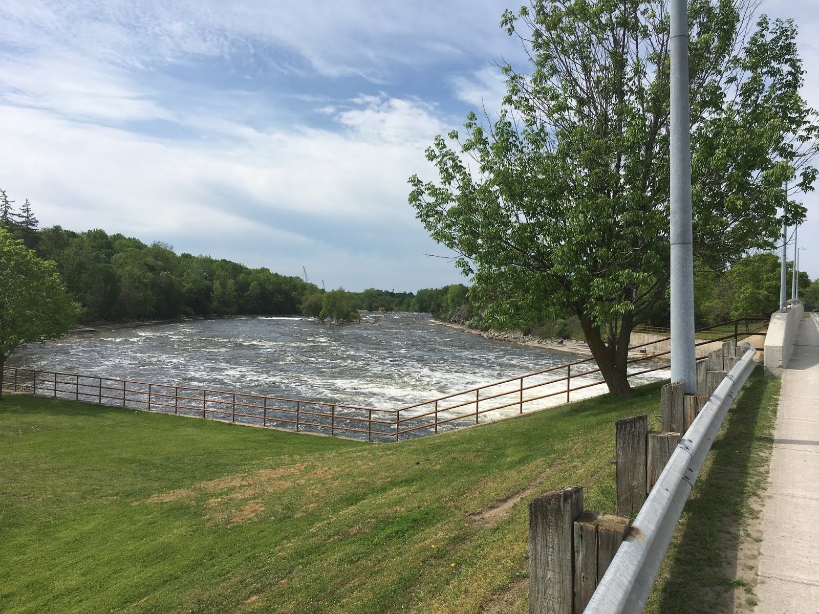
The start of the Trent Severn – Trenton to Campbellford – May 24th, 25th and 26th
Thursday, May 24th
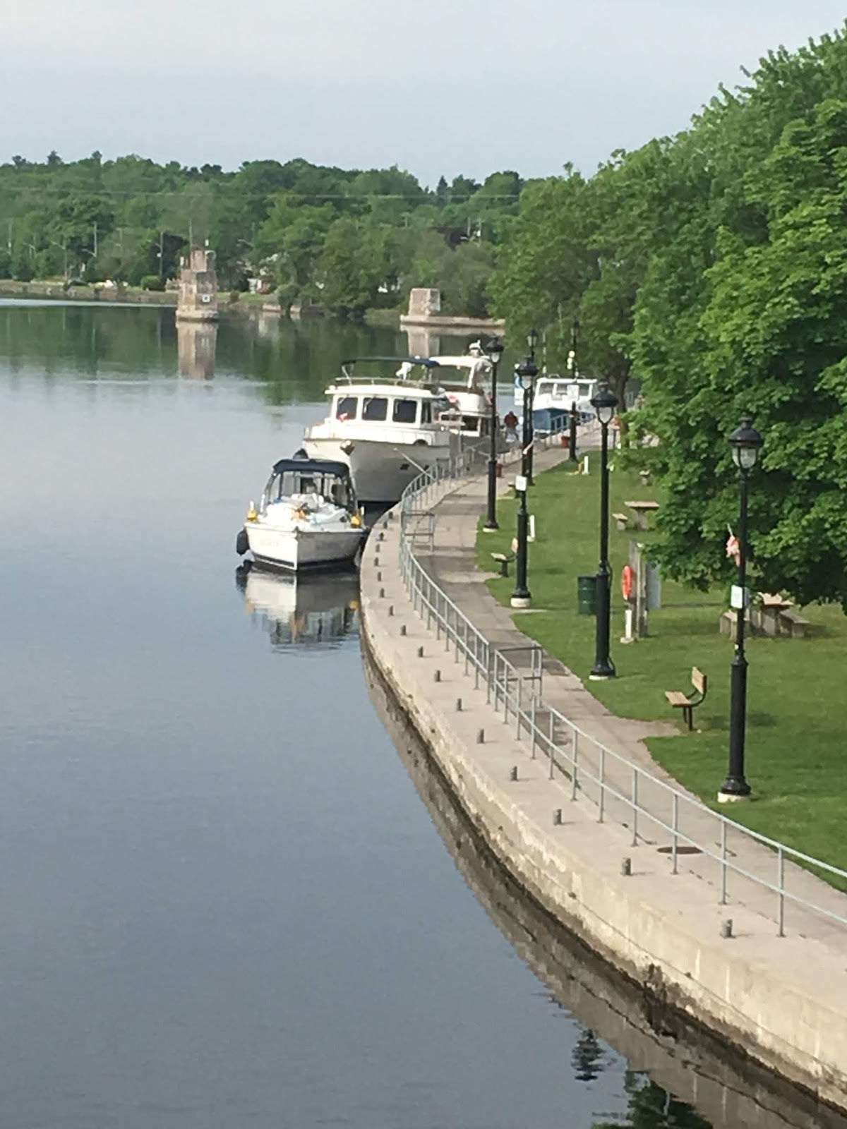
The start of the Trent Severn. Today we did six locks and tied up at the lock wall in Frankford. All the lock masters were so friendly and very helpful. They would answer questions and provide a lot of information.

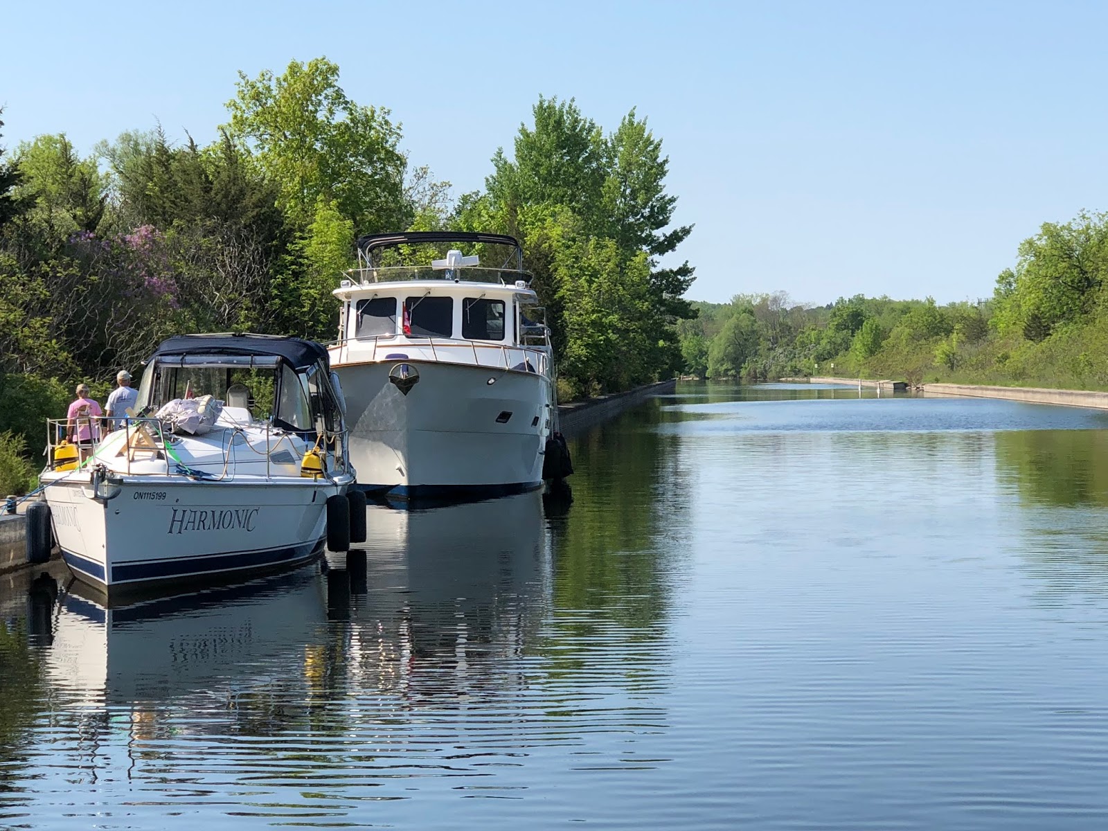


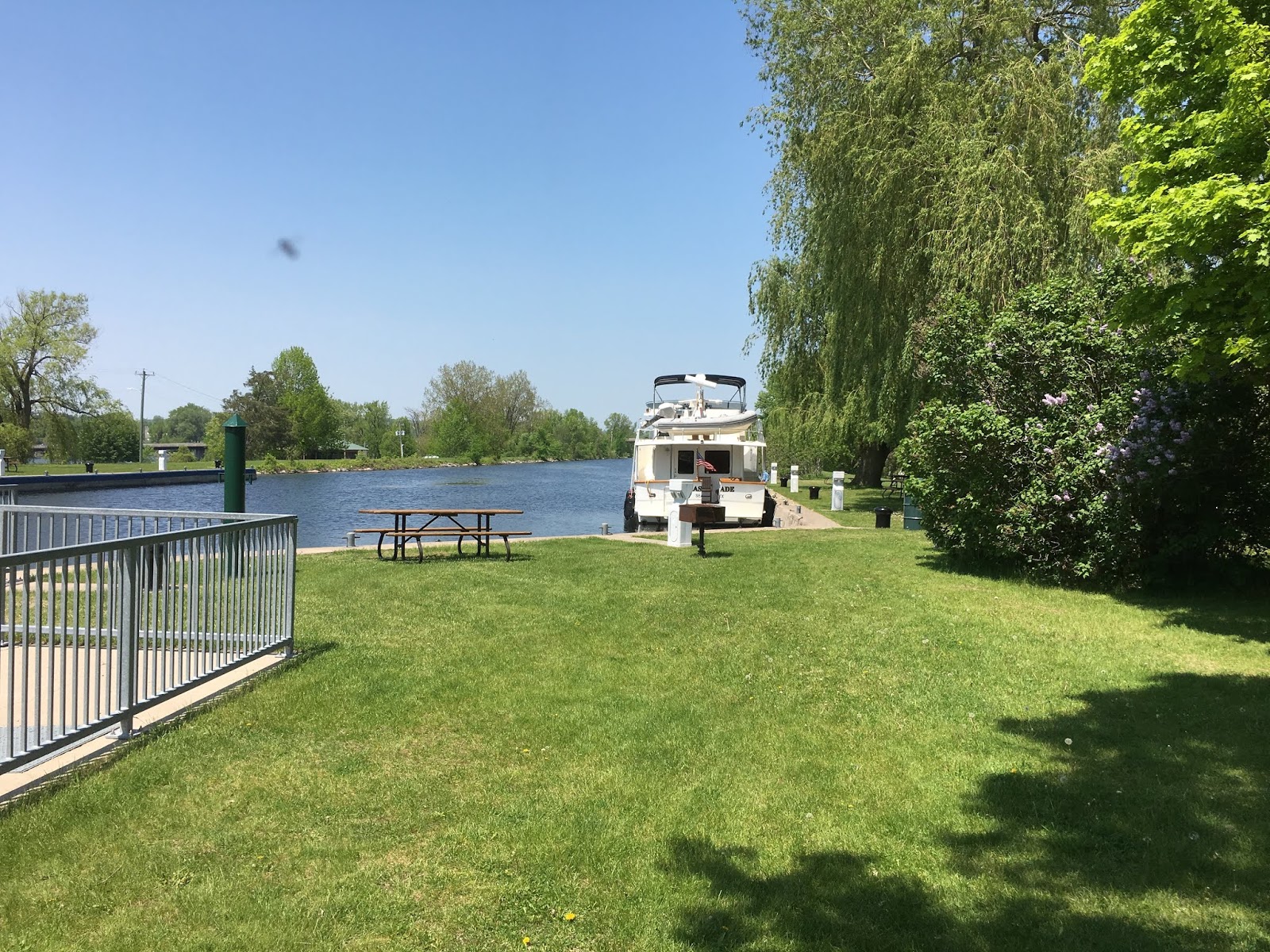
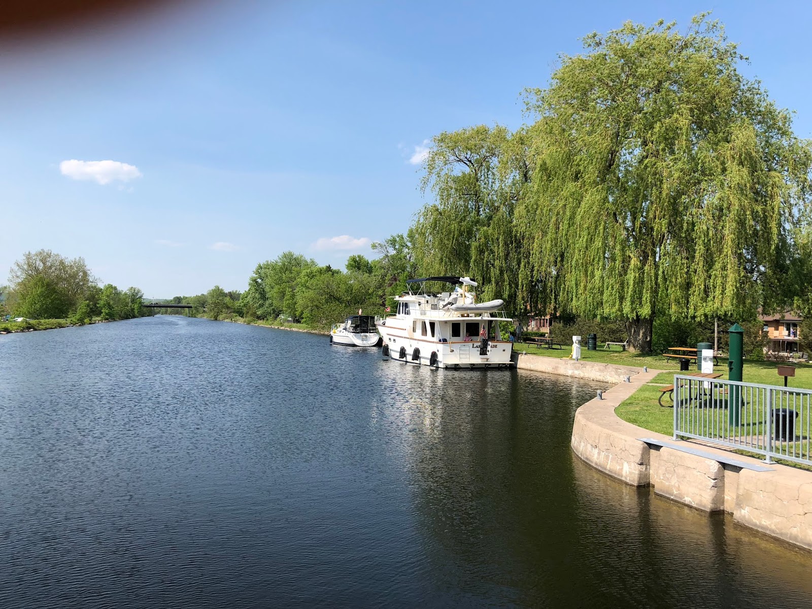

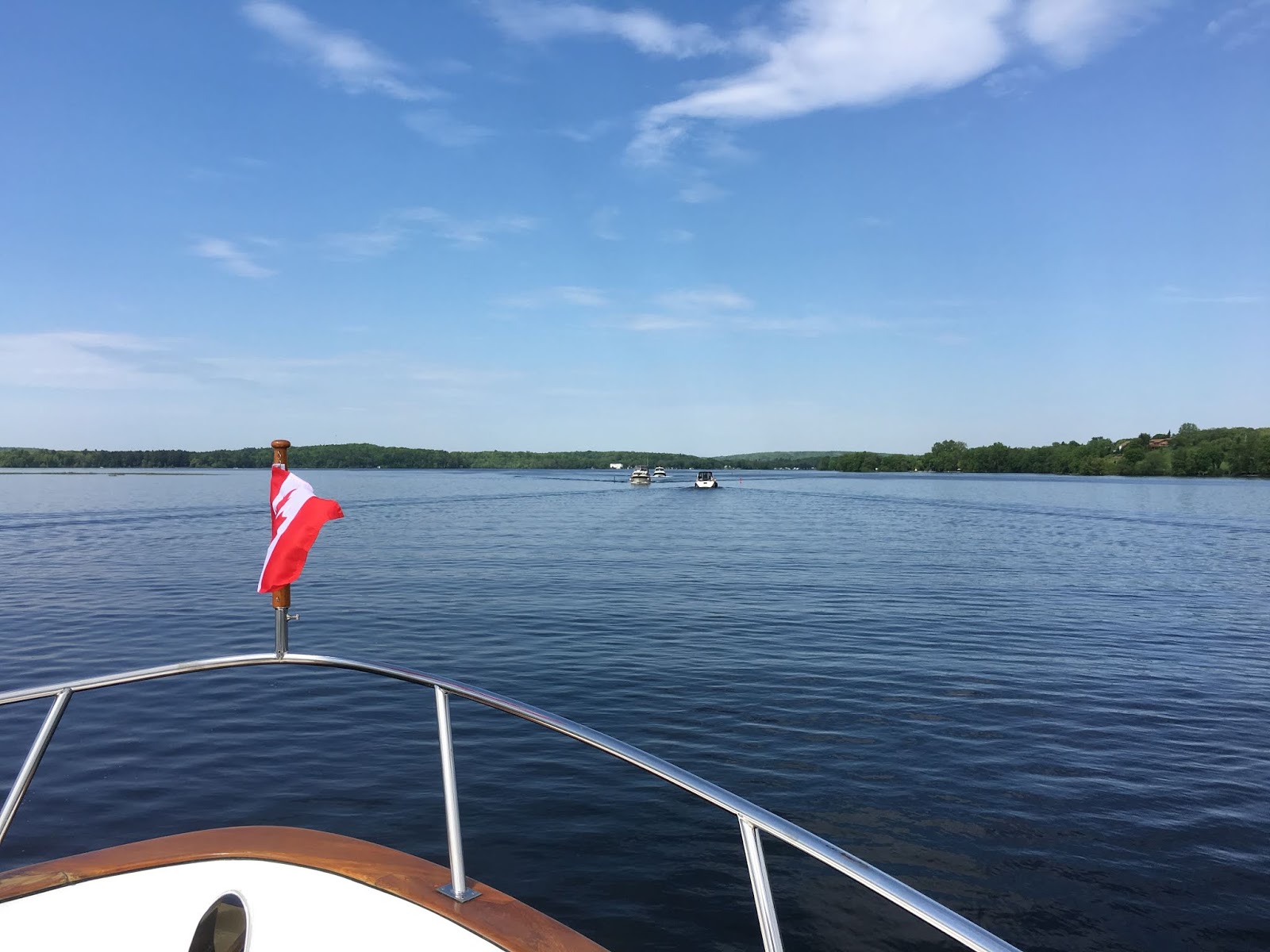
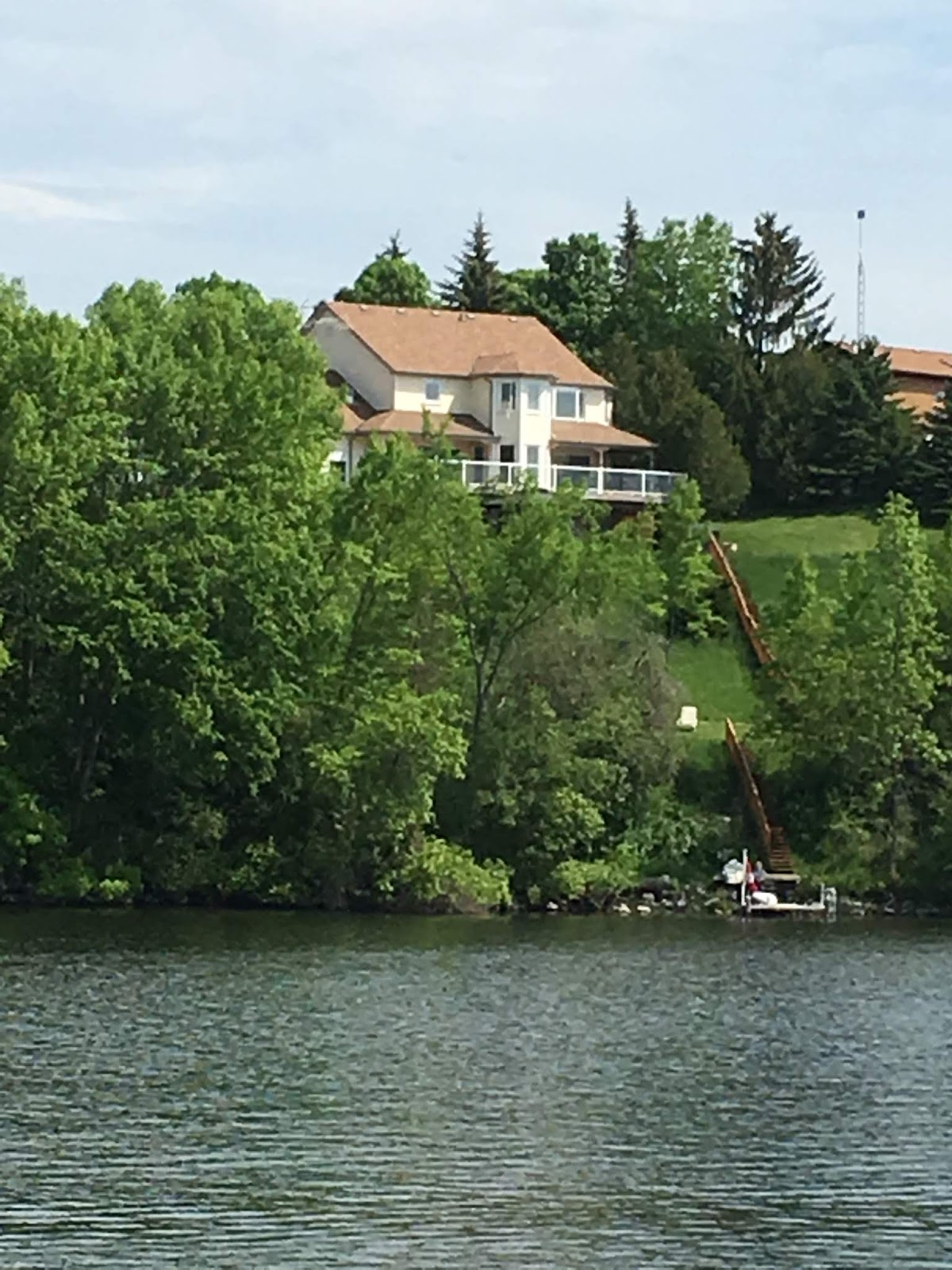

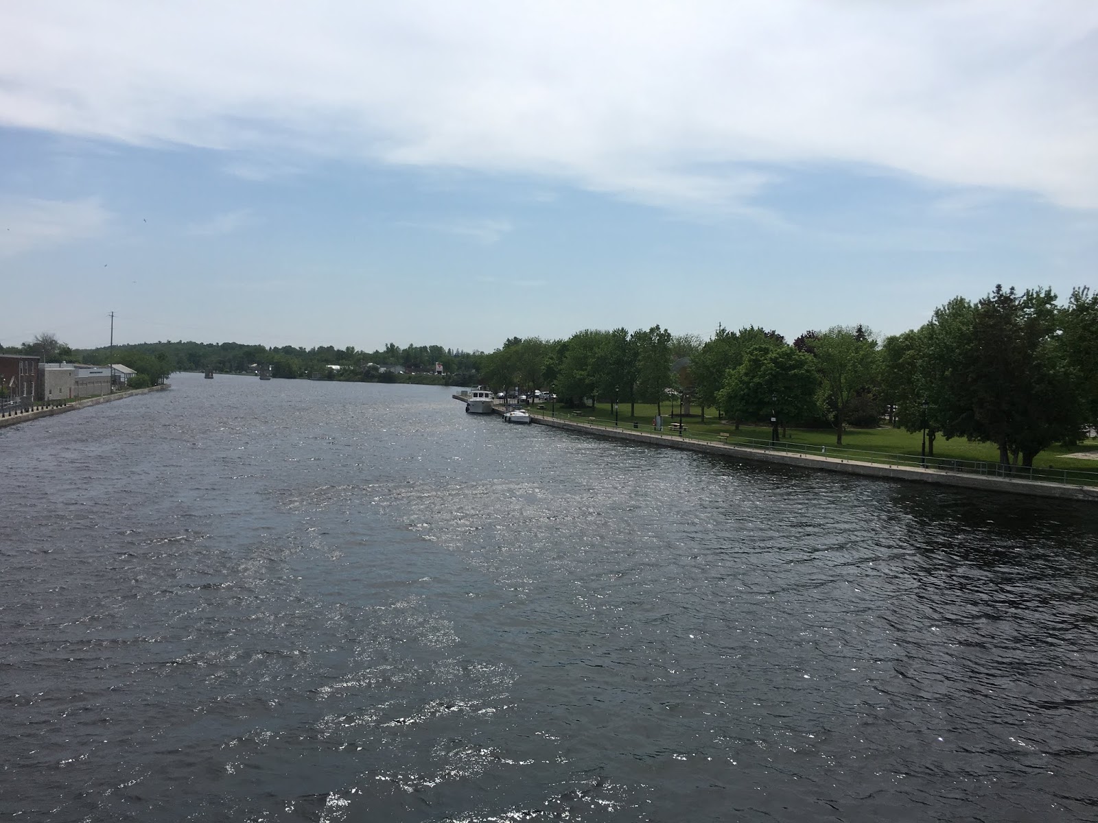
Saturday, May 26th – Campbellford
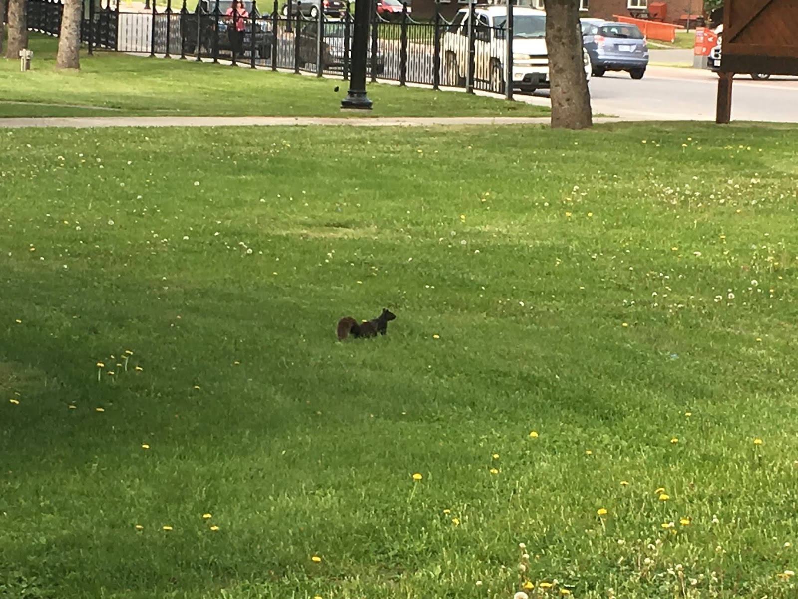
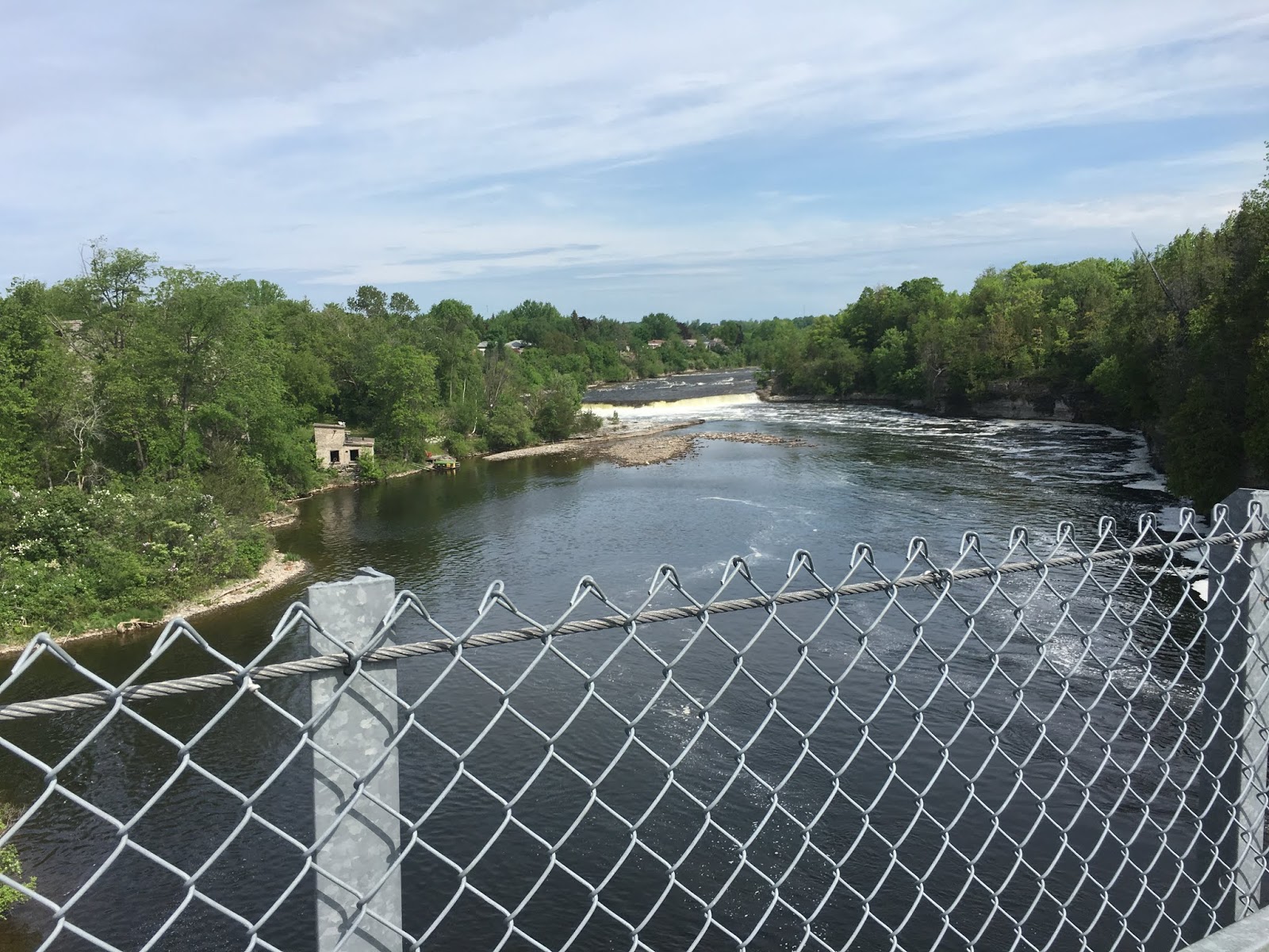
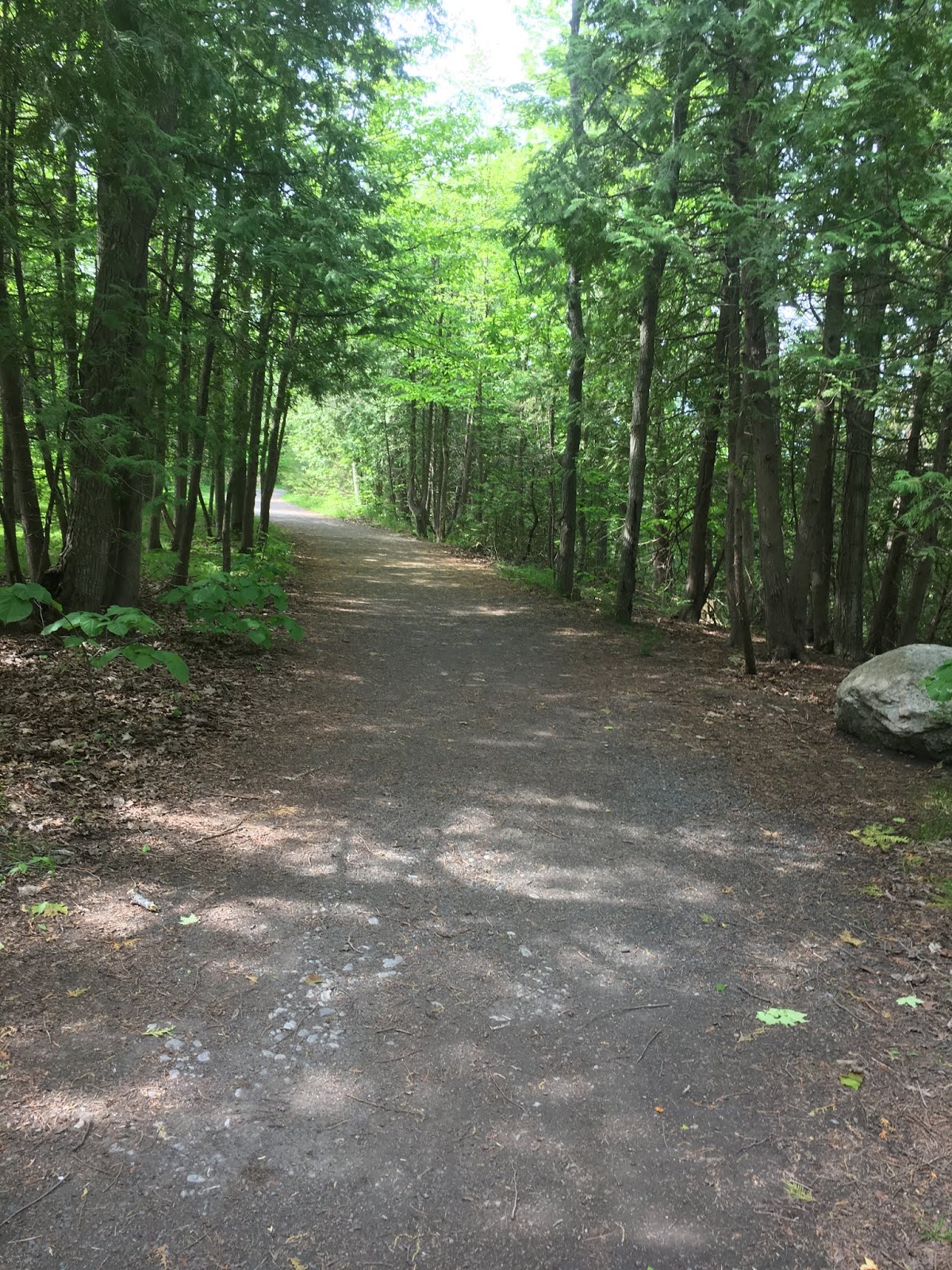
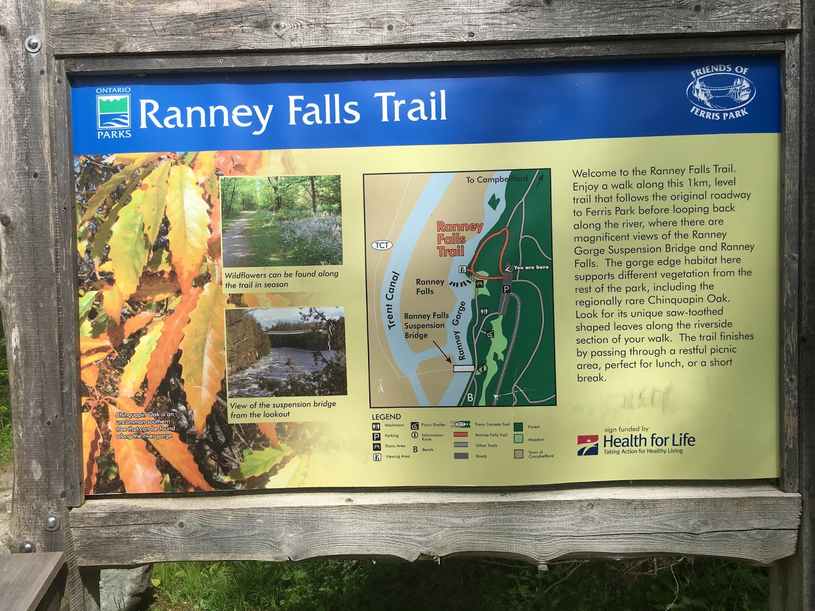
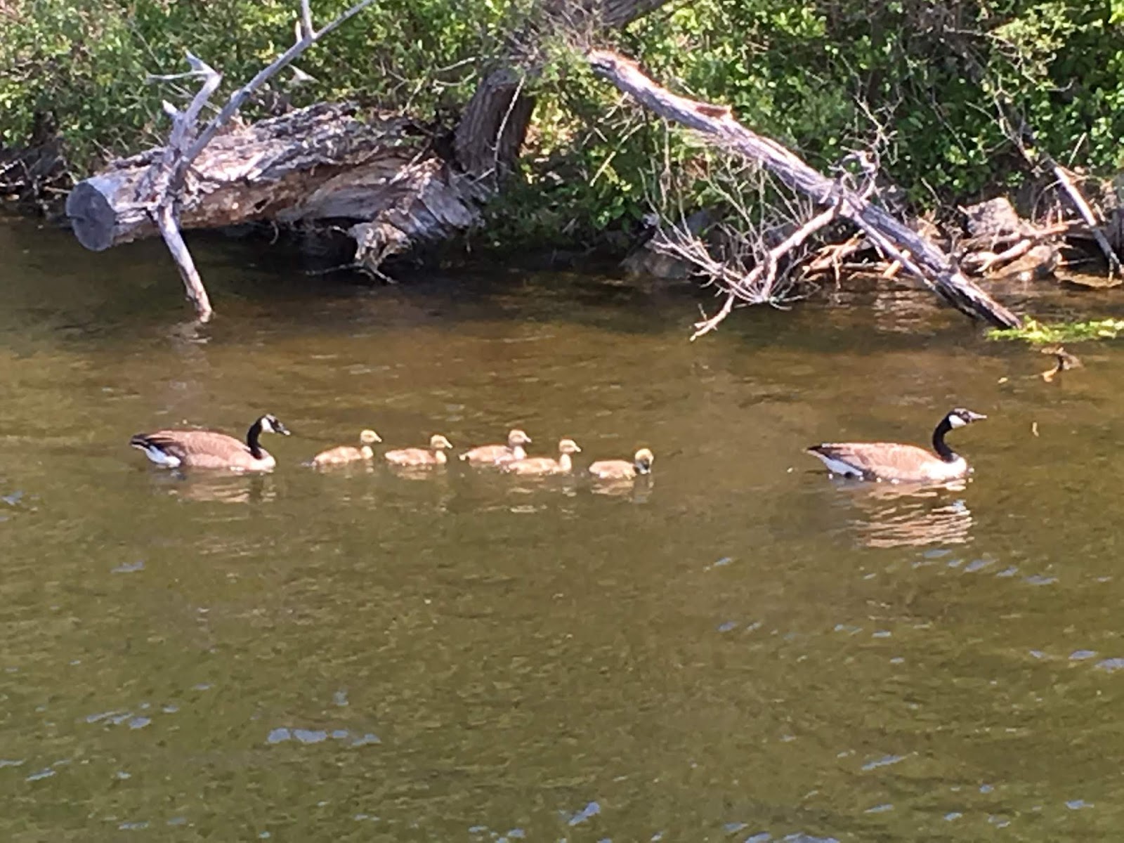
As we were leaving the boat to go to the grocery store I saw a guy swimming towards our boat. He asked if he could use our stern ladder to climb out. He was on the other side of the river and saw a squirrel in the water and jumped in to save it. Yes, he was bitten by the squirrel. The town only had ladders on the side of the river that he jumped in on.
After we got back from the store it looked like a storm was heading our way. Our plan to move on to the wall did not work! The rain decided to come and it poured! Two other boaters came through the locks and tied up during the rain. We have three boats now heading to the locks tomorrow.
The start of the Trent Severn – Trenton to Campbellford – May 24th, 25th and 26th
Thursday, May 24th
The start of the Trent Severn. Today we did six locks and tied up at the lock wall in Frankford. All the lock masters were so friendly and very helpful. They would answer questions and provide a lot of information.
Saturday, May 26th – Campbellford
As we were leaving the boat to go to the grocery store I saw a guy swimming towards our boat. He asked if he could use our stern ladder to climb out. He was on the other side of the river and saw a squirrel in the water and jumped in to save it. Yes, he was bitten by the squirrel. The town only had ladders on the side of the river that he jumped in on.
After we got back from the store it looked like a storm was heading our way. Our plan to move on to the wall did not work! The rain decided to come and it poured! Two other boaters came through the locks and tied up during the rain. We have three boats now heading to the locks tomorrow.
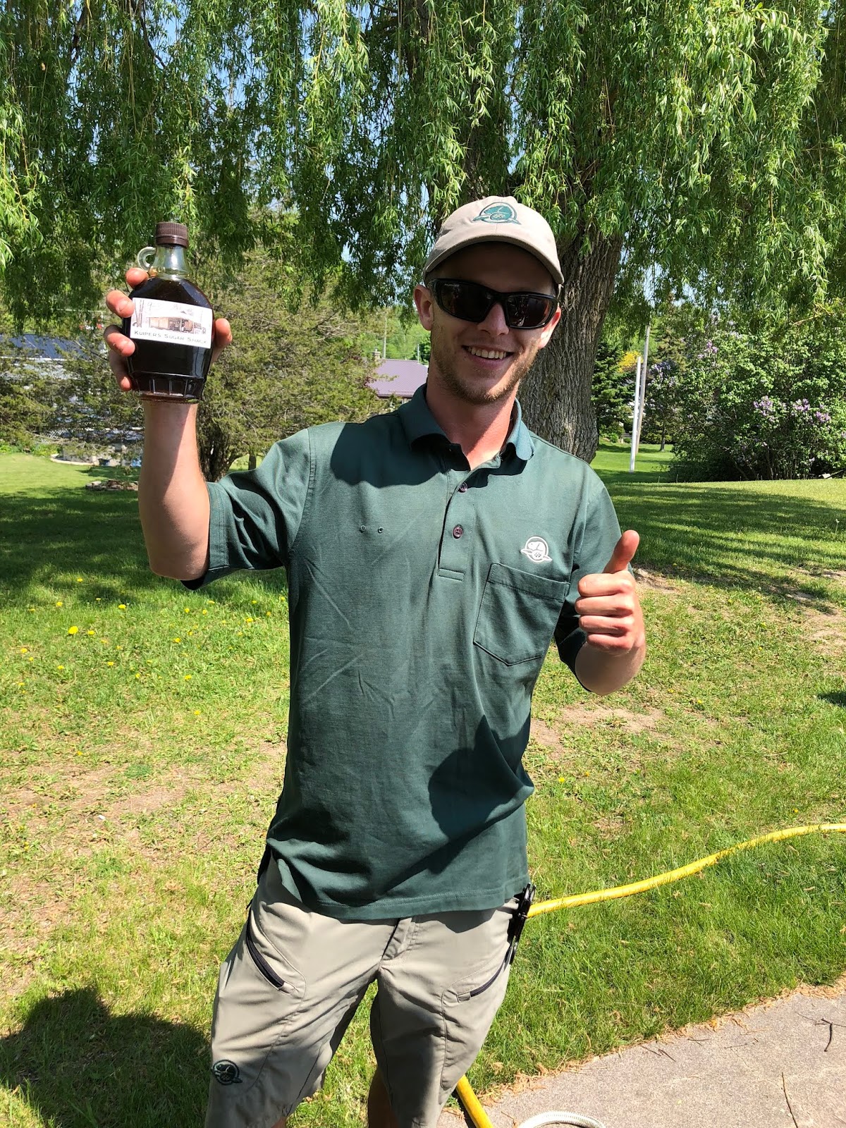
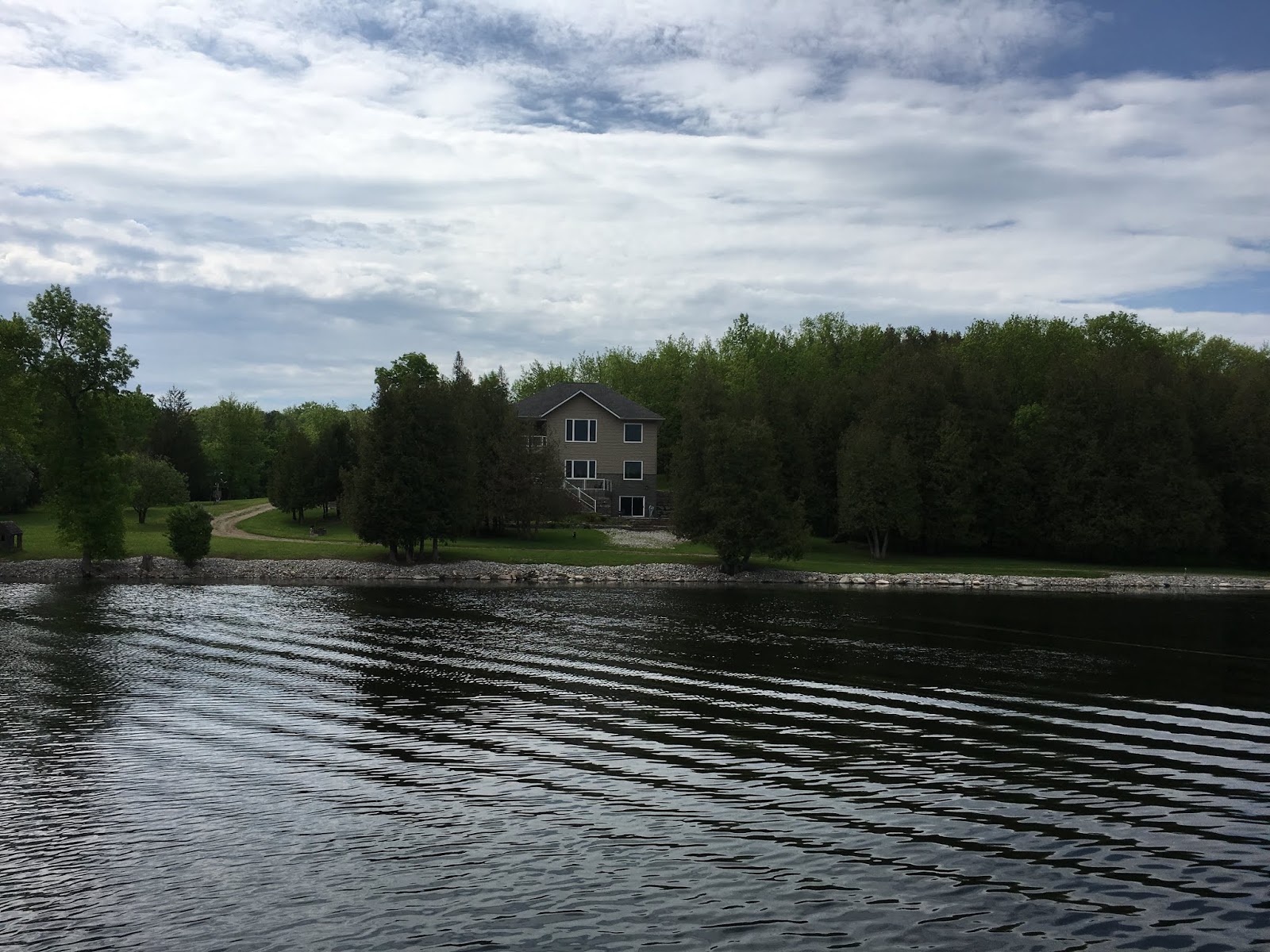
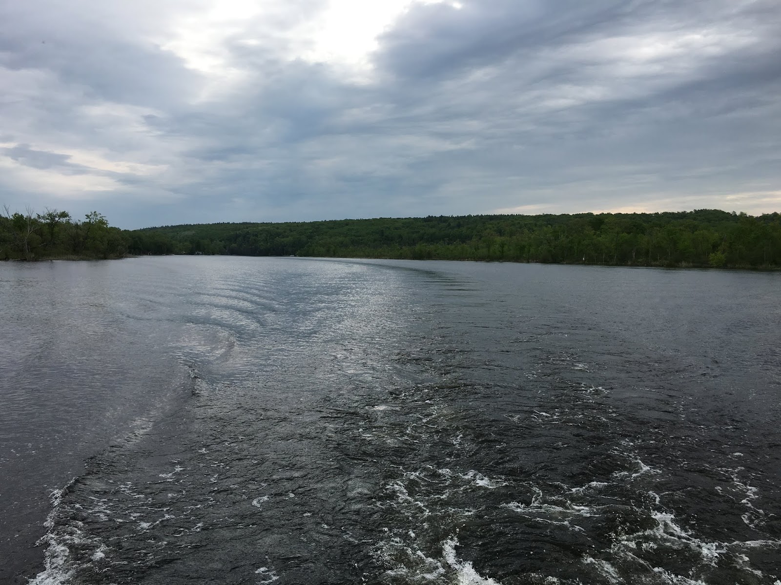
Belleville to Trenton – May 22 & 23, 2018
Tuesday, May 22ndTeak had another vet appointment at 9:30 in the morning to be checked once again before we headed out for Port Trent Marina. Our rent car needed to be back by noon, and we needed to find out about the alarm going off on our bow t…